August 9, 2017
Day 4 - ending at Hannibal, MO
Posted via email Thu Aug 10 06:57:03 2017 PDT
I'd set this smartphone's alarm for 4:20am last night, and it worked. A quiet morning with moonlight. Started work on report. At 7:00am, the Gmail app on this smartphone lost all but the first paragraph of the report, even though I was constantly saving. Two hours work lost! Nothing to do but start over.
I stopped on the rewrite at 8:15am to pack. Checked the tires this morning: front at 41psi, rear at 43.5 psi. Brought them up some, but not all the way to 70 psi, where they should be.
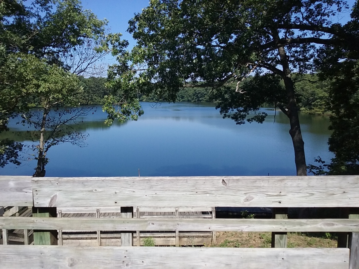
I left at 9:50am, having decided it might be worth the detour to the 'Boathouse' here in the park, where signs indicate breakfast is served. The detour was 1.3 miles one-way, half of it downhill. Selected various items - including potato salad - and sat down at a picnic table on their deck. Finished the report rewrite after I was done, but no signal here to send it in. Headed back up the hill at 11:50am.
Noon mileage report: 1.8 miles.
Today's destination is Mark Twain Cave Campground in Hannibal. Though, after listening to my weather radio as I packed this morning, maybe I'll go for a motel when I get to Hannibal. My at-home plan for today had me routed west past Liberty, then through Payson. The start is west out of the park, south a ways, then west on CR-39. Lots of hills on CR-39, which put me in lots-of-breaks mode. At 1:37pm I even stopped for a ten-minute nap at Pleasant View Cemetery.
I made it to IL-104 at 2:03pm, and Liberty at 2:20pm. I was passing by Liberty on the south side of town when the sight of a gas station put me heading that way. Had ice cream and chocolate milk there to keep me going.
Back at it at 2:47pm. At a planned turn west just southwest of town a fellow at a nearby building asked why I was going that way. He recommended the road south to Richfield, then west to Payson. (I'd routed west first, then south to Payson.) I asked about hills and traffic on his proposed route. "No traffic and just a hill going out of Richfield." Good enough. He was right on the traffic, but there were constant hills west of Richfield, not to mention the one just before getting into Richfield!
At 4:33pm, I'd made it to Payson. An old church and a nice park are here. I set up to charge the smartphone again with the bike's battery. Maybe this phone needs a new battery.
Straight south out of Payson on E-1400th Street brought me to N-125th Avenue - a gravel road that would get me from the high ground to the river bottom. The ride down the bluff on the 'avenue' was pleasant (pretty) and not too steep. That put me at IL-57 at 5:37pm. Wow, now I have a strong 4g signal on the smartphone! I was hoping for that. This morning (and all day until now) this phone wouldn't make a connection.
There was something wrong with my routing to the bridge to Hannibal, or I missed a turn big-time, but it took a while for me to realize that. Not a big deal, just extra miles on this flat land. So, the way I went was straight south from where I was at the bottom of the bluff, then turned west on IL-106 when I got to it (at 6:12pm). At 6:44pm I was getting on I-72 for my ride across the Mississippi River. I arrived in Missouri at 7:00pm, and was welcomed with an off-ramp hill that might be a sign of climbs to come. An easy coast downhill once I was off the expressway. By now I'd decided to go for a motel. The Country Hearth Inn was nearby, and I arrived there at 7:14pm. Molly Brown's birthplace home is on the hill straight across the highway from this motel. I've seen that before, along with many of the other sights in Hannibal, on a family vacation we took when our boys were young.
I took advantage of the 4g signal first thing after I was in the motel room to get yesterday's report sent in. Next a shower, then picture sorting. Falling asleep after that, so went to bed at 11:40pm. A real bed. This is nice!
Jeff
Spent: $6.73 (breakfast) + $4.02 (chocolate milk) + $65.18 plus $5 = $80.93.
+ plus signs indicate pictures added after returning home from the trip +
| Heart | 0 | Comment | 0 | Link |


| Heart | 0 | Comment | 0 | Link |


| Heart | 0 | Comment | 0 | Link |


Today's ride: 41 miles (66 km)
Total: 184 miles (296 km)
| Rate this entry's writing | Heart | 2 |
| Comment on this entry | Comment | 0 |