July 25, 2018
A shortcut over the hills
Day 11: Mainz - Kappel. Rivers followed: Rhine
| Heart | 0 | Comment | 0 | Link |
Another night of complete unconscious and dreamless sleep: my body wasn't wasting any time recovering from all this exertion at this stage of the tour. I got up reasonably early to be met with an amazing sight: an overcast sky...
I was still undecided about where I should head for. It was now Wednesday: if I wanted to get to Belgium or Luxemburg for the weekend, I really needed to be in Trier or thereabouts for Friday night. I had some doubts as to whether I could get all the way to Koblenz and (more to the point) all the way down the meandering Mosel in two days. I was feeling pretty strong again, and with lack of any any further trouble from my damaged wheel or sore eyes, cutting across the high ground between the Rhine and the Mosel started to seem attractive. The hills weren't very high, 500m at most, so starting from the 200m height of the Rhine should be doable - and it would give me a change of scenery.
I had by no means made up my mind, though - at any rate, I had to go through Mainz, past the confluence with the Main and then another 50km West before I'd have to make a decision. I thought I would see how they day went, and what the weather did, before committing.
I was ready to leave the campsite at around 8am. The Dutch guys were still sleeping, and a collection of bottles around their tents indicated they'd had a good night. I went back to the reception portakabin and, as before, it was closed. The rest of the campsite was deserted - so after some consideration I wrapped a 10euro note around my gate fob, attached a note about it being from the camper with the "fahrad blau" and dropped it in the mail box. I hope it was clear I had payed up and not just run off: they did give us free beer after all!
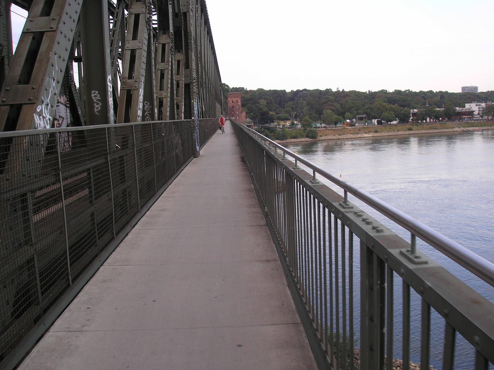
I cycled through Gustavsburg, where I got stuck behind a level crossing for ages waiting for a train. My intention was to cross the Rhine again so I could cycle through Mainz proper: I also needed to be on the South (left) bank of the Rhine once I got downriver, and after joining the Main the Rhine becomes very wide and bridges are hard to come by. I quickly saw a signposted route though, and crossed the Rhine again next to the railway.
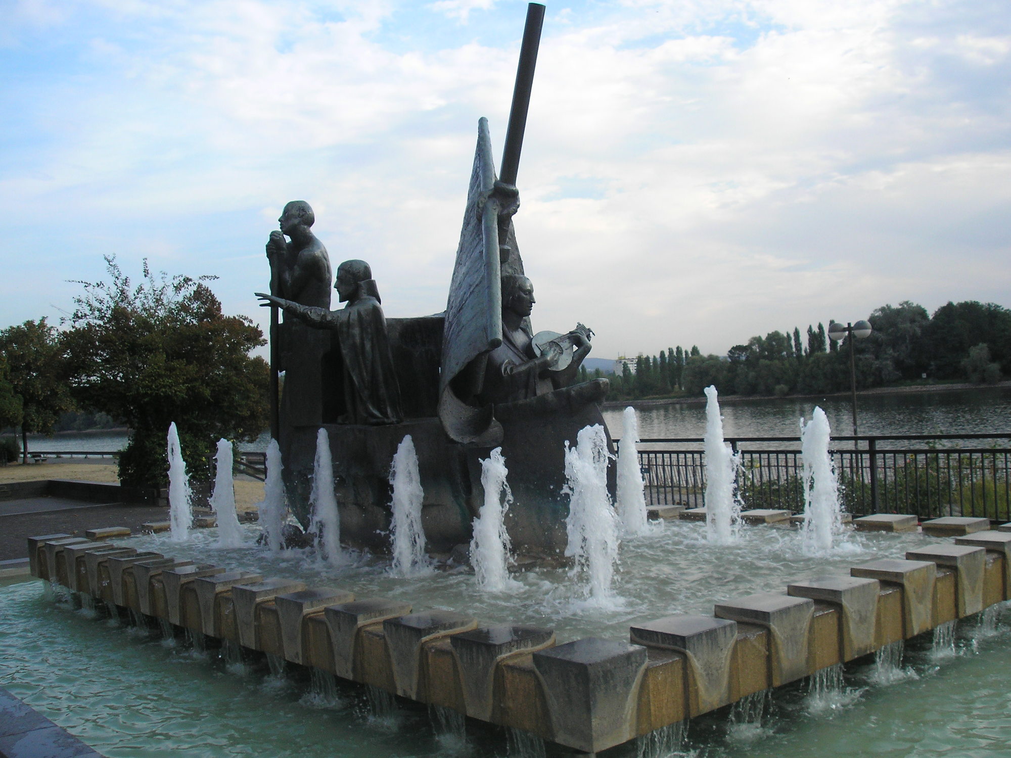
Despite its slightly disheveled surroundings, Mainz itself is actually rather smart. It was bright and cool as I headed through the centre, with pleasant parklands along the river.
| Heart | 0 | Comment | 0 | Link |
The route out of Mainz was well signed and (reasonably) easy to follow - I think I only went astray once, and then was soon heading out of the city. It took me about an hour to get out to Budenheim: there was a campsite on the map there, but I'm glad I didn't pursue it the previous night, as it would have made it a much longer day.
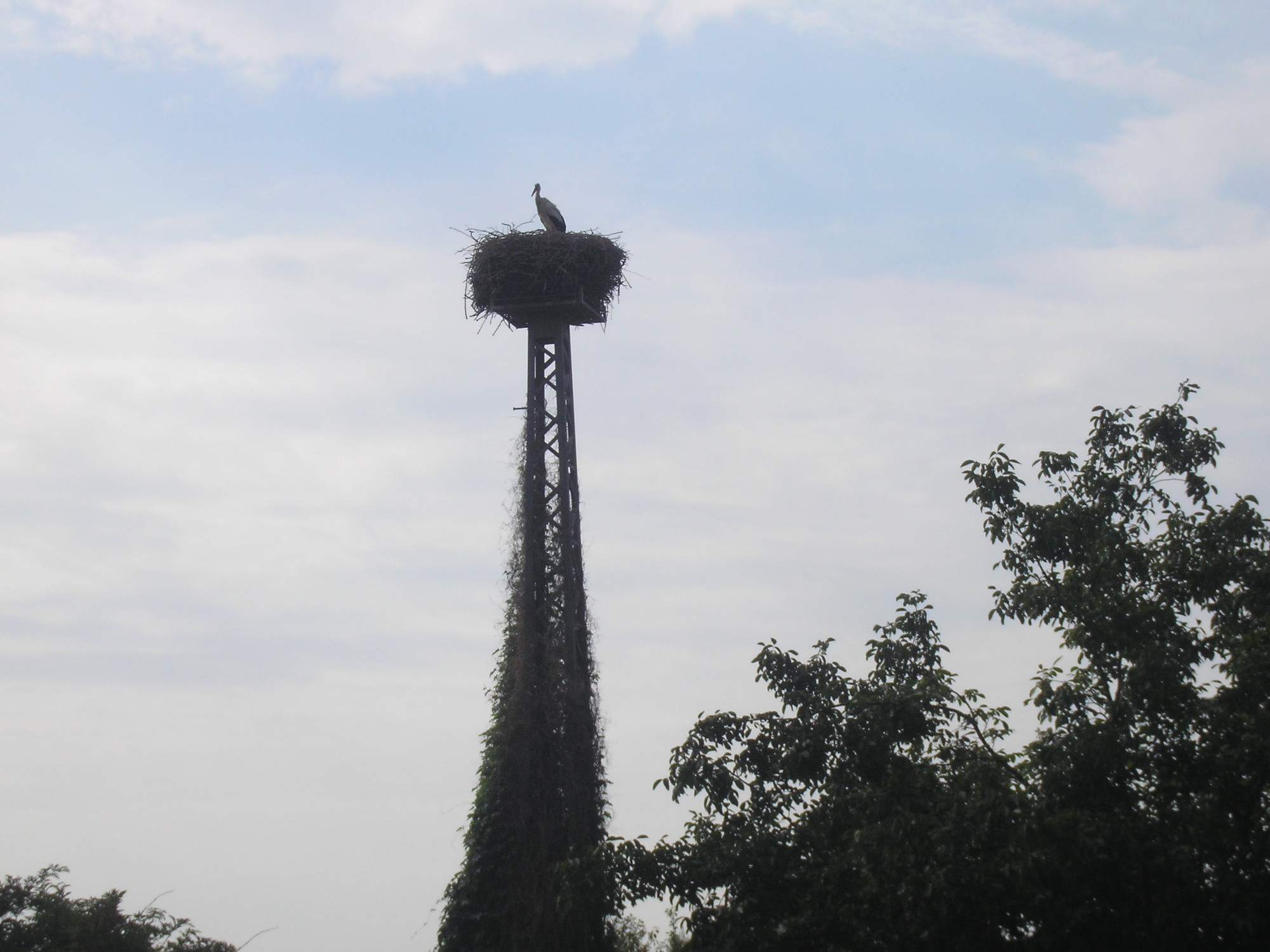
Once beyond the city, there was a remarkable secluded area with very prominent stork nests on high masts. A couple of other cycle tourists were there taking photos - and I've seen photos of what must be the exact same nest on other journals. Here's my effort:
As I turned West, the land on the other bank of the Rhine started to rise up. On the South bank it remained flat, and I made very fast progress. I had a good 30km to get to Bingen, which was the next big town downriver, and wanted to get there before lunch. I wanted to get into the hills by mid-afternoon at least, so I would have a good idea if I wanted to stick to the river or head overland.
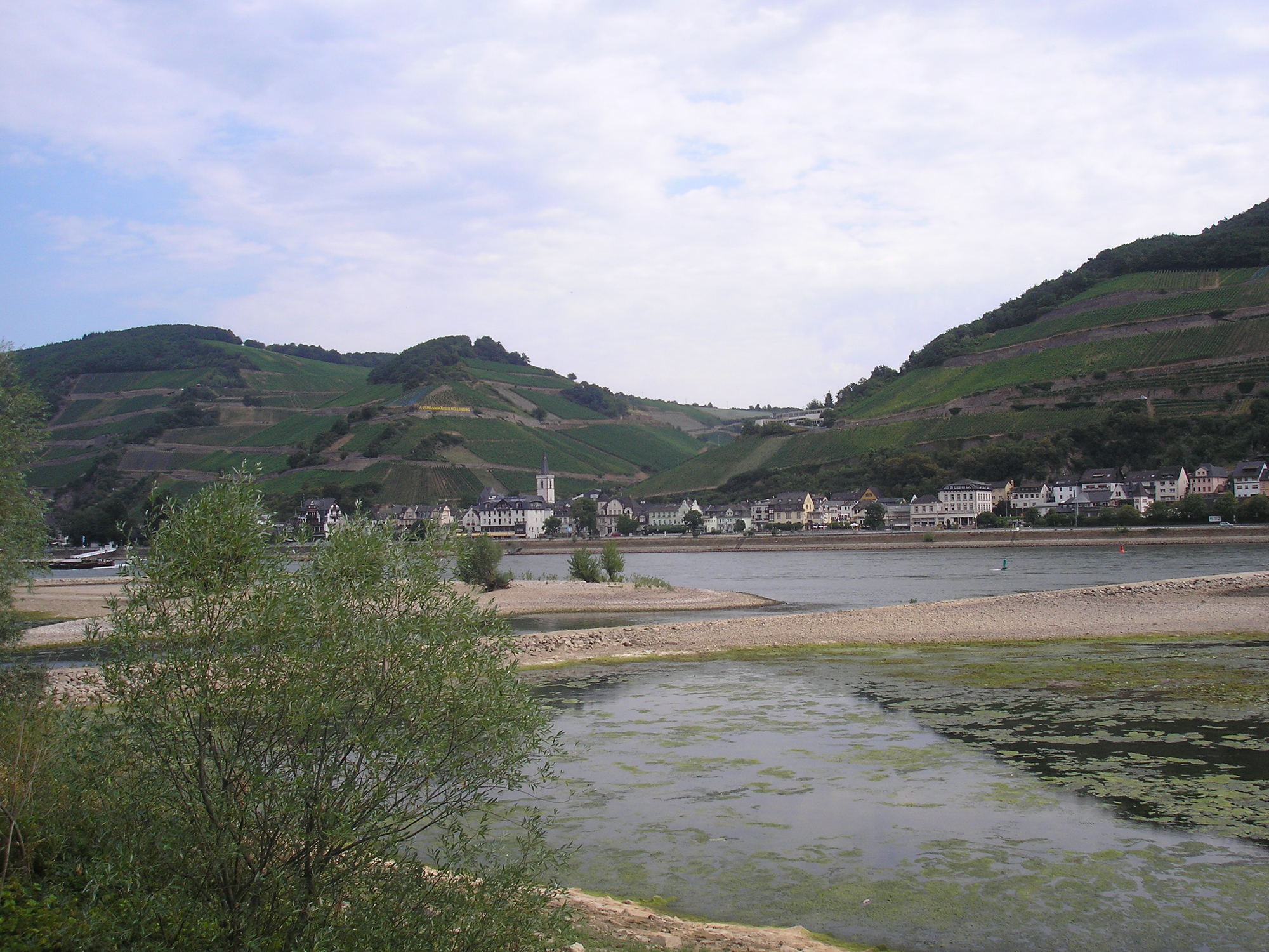
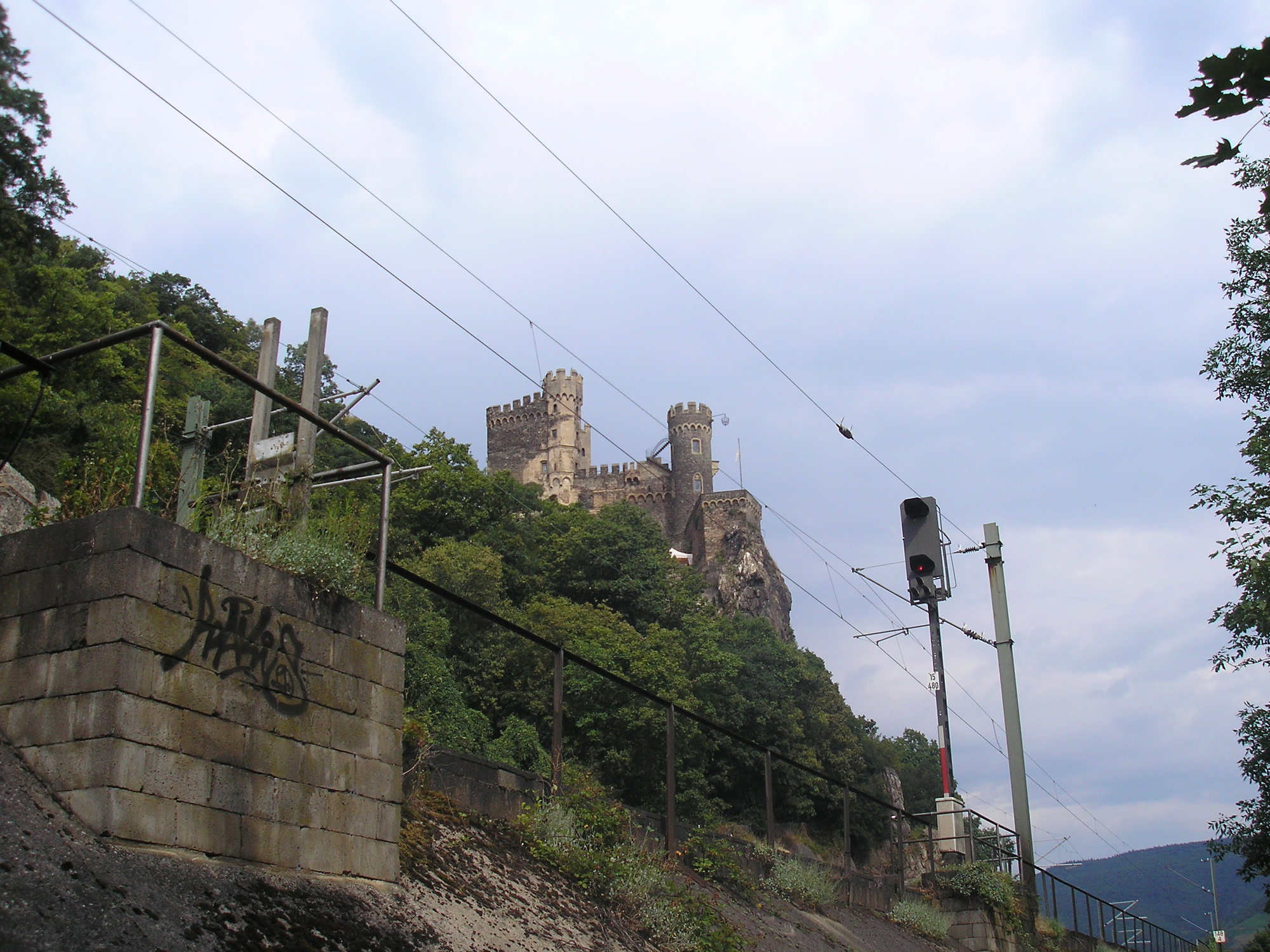
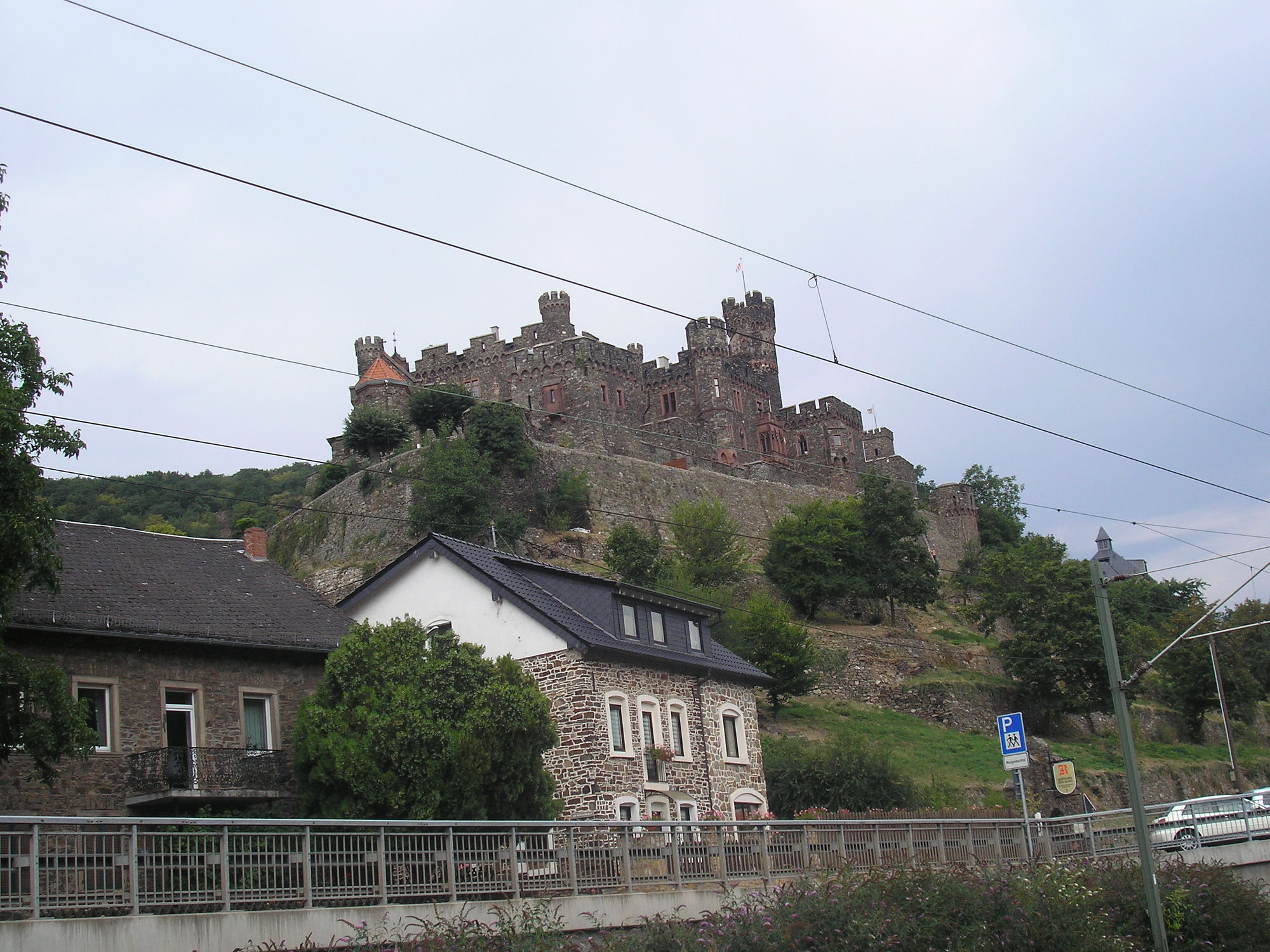
It was a very agreeable route, mostly offroad, and it was still before 11am when I reached Bingen. Bingen is an attractive town that sits at the corner of the Rhine, just before it turn to the North West and cuts through the hills of the Pfalz. The section is often called the "Romantic" (or less romantically, "Middle") Rhine, and with steep, vine-covered banks and a castle it seems every few miles, is somewhat more of a tourist draw than the sometimes industrial river upstream.
I wheeled into the cobbled streets of Bingen, and propped the Shift up in an alleyway while I popped into a bakery to get some lunch. I bought a great sandwich and selection of confections from the super-friendly proprietress, and continued on up the river.
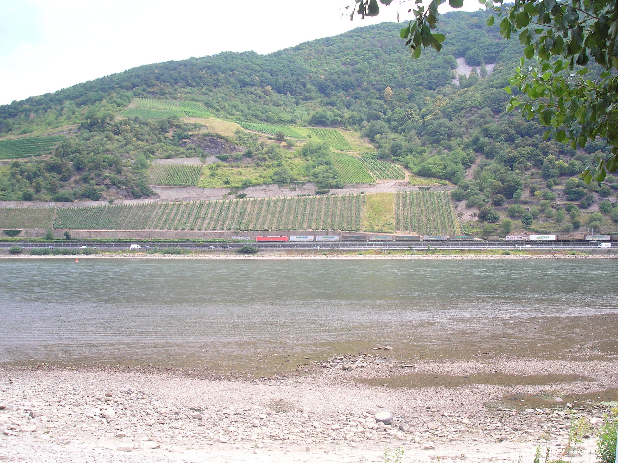
The scenery is indeed excellent, with lovely steep round hills hemming the river in from both sides. Strangely, a railway runs up both banks of - I couldn't make much sense of this on the map, but on the ground the rest of the landscape is so hilly (and the Rhine so hard to cross) it makes sense.
I pedalled happily through light and shade as the clouds passed overhead, and enjoyed the view.
| Heart | 0 | Comment | 0 | Link |
| Heart | 0 | Comment | 0 | Link |
| Heart | 0 | Comment | 0 | Link |
| Heart | 0 | Comment | 0 | Link |
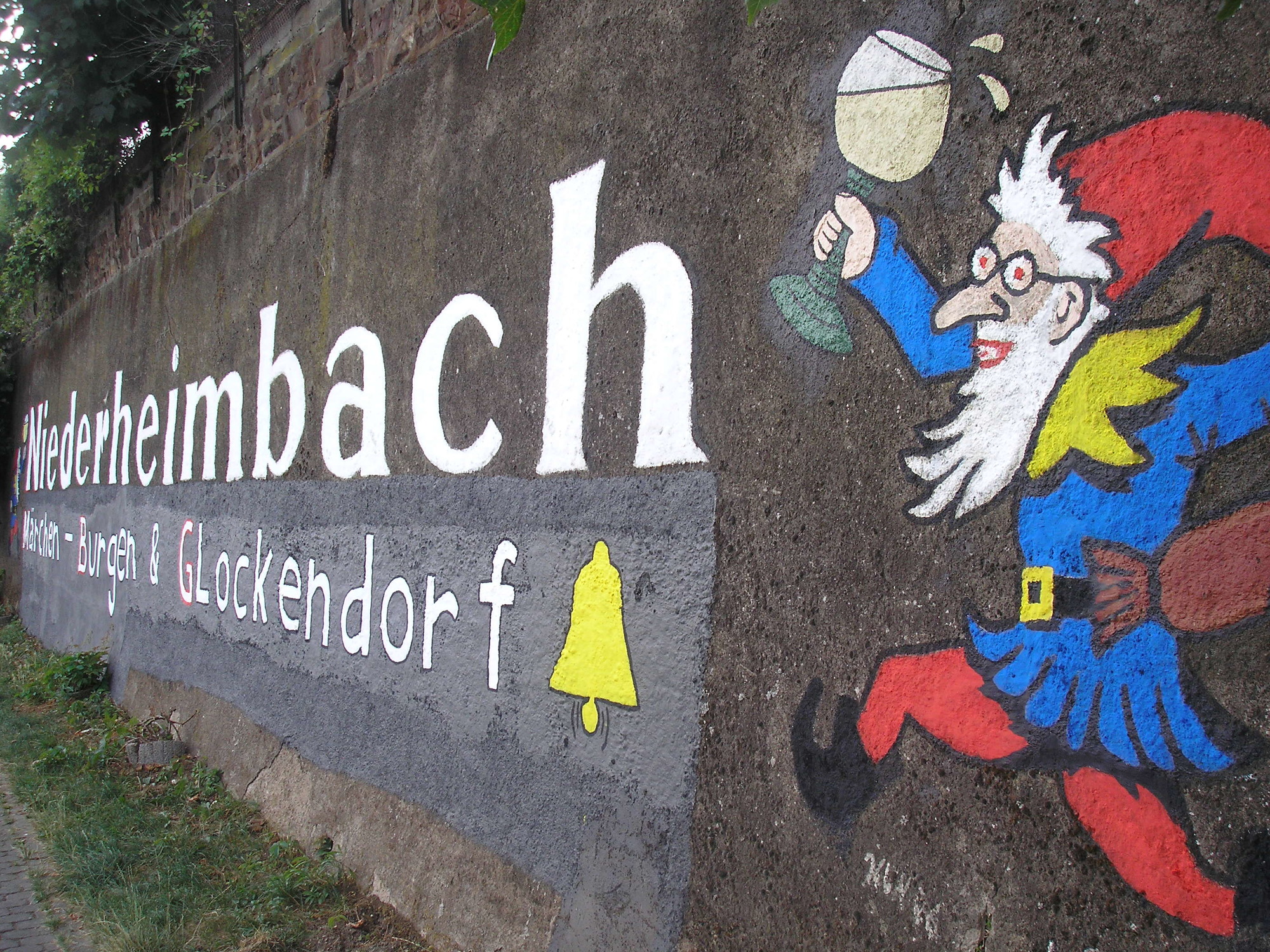
I was soon rolling into Niederheimbach, which was a pretty small town and seemed a good place for a spot of lunch by the river. When I spotted a bench I set myself up and had a long lunch.
It was a good time to weigh up my options. I was feeling pretty good, and despite the prettiness of the river figured I was up to heading into the more remote country of the hills. I had quite a few options here. There was a route cutting up to the West from Niederheimsbach - but the contours were closely packed together, almost gorge-like to around a height of 500m. Downstream there were a couple of other possibilities: at Bacharach and Oberwesel. Beyond this there were no marked routes until the wedge of land between the Rhine and Mosel narrowed after Sankt Goar, so making the cutoff less attractive. The Oberwesel route seemed as steep as that from Niederheimsbach, with multiple thick chevrons; but the Bacharach option, while starting in a steep gorge, seemed milder and promisingly followed a stream. I decided to head the few kilometres downstream and make an attempt to climb out of the valley at Bacharach.
| Heart | 0 | Comment | 0 | Link |
| Heart | 0 | Comment | 0 | Link |
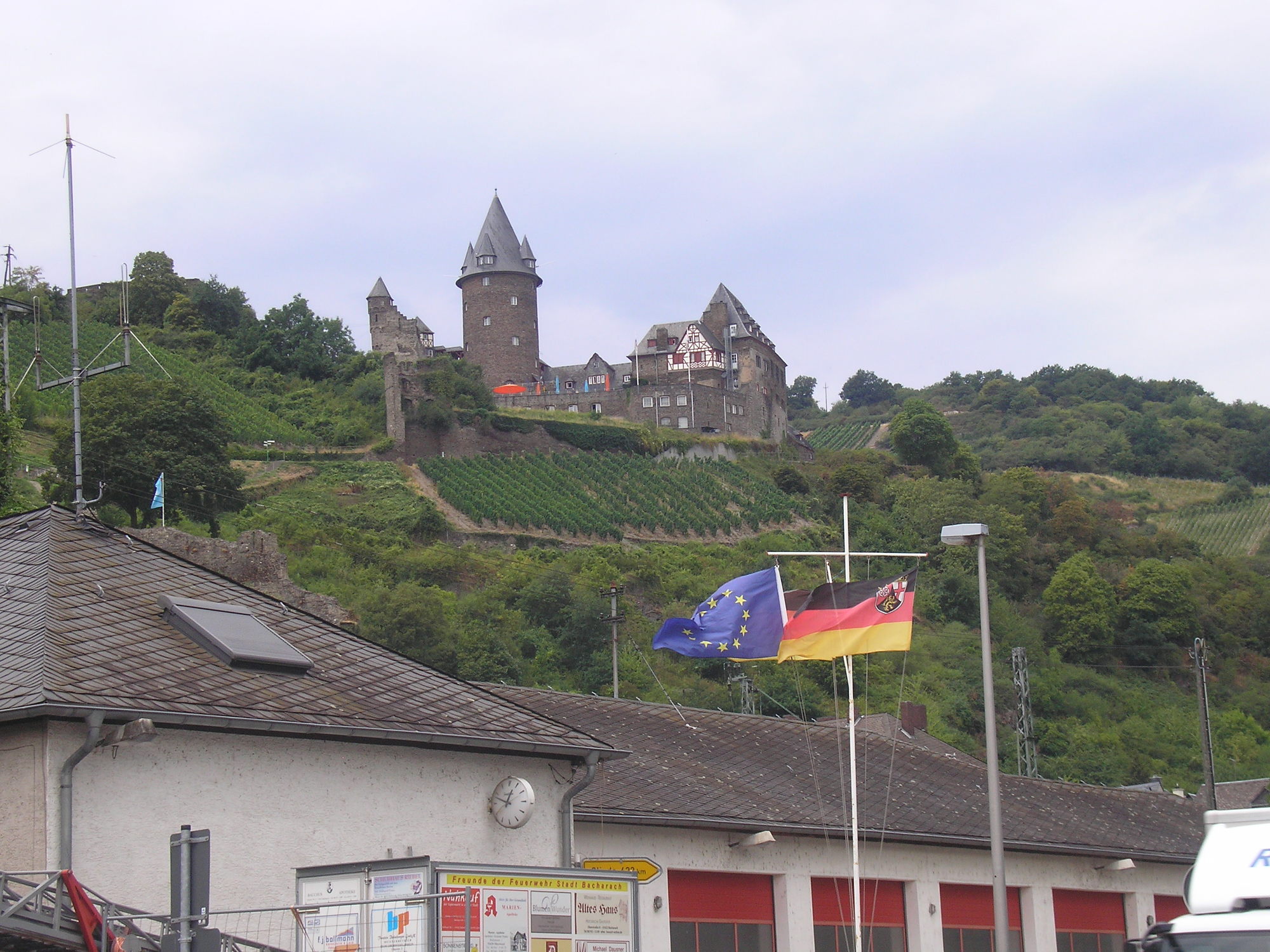
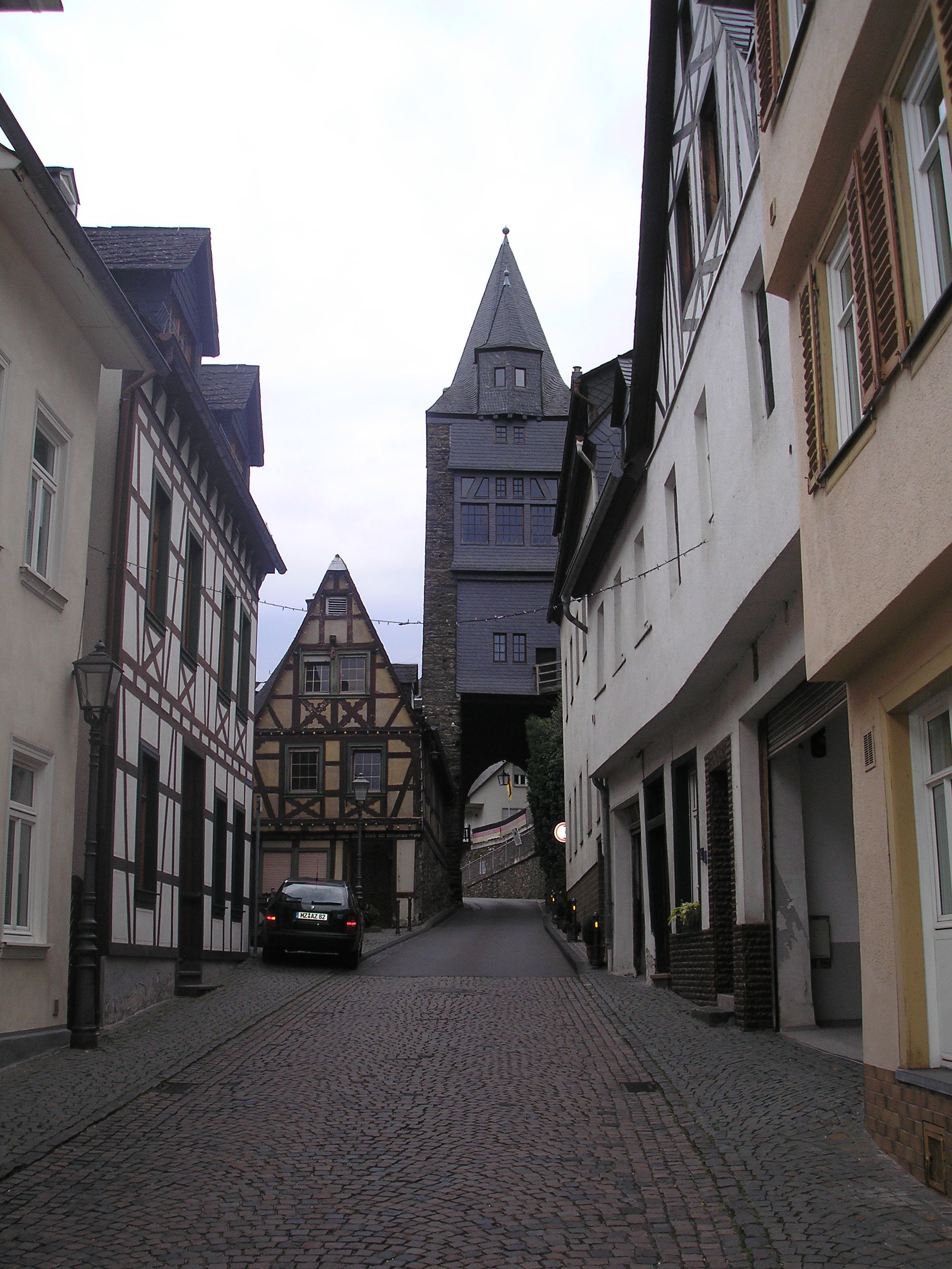
Soon I was in Bacharach, which is a quaint resort town, full of tourists when I arrived. I wasted no time in finding the route up the slope of the valley, which was easily signposted Steeg.
| Heart | 0 | Comment | 0 | Link |
I hadn't done any proper climbing at all since the Black Forest, and had barely seen a gradient since Pforzheim. Fortunately, I didn't seem to have lost my climbing legs, and I wasn't in any way worried about my wheel on the way up - my speed was well under 10kph - though I knew I'd have to take care on the way down.
Not massively helpfully for a cycling map, the ADFC had only two classes of slope chevrons: 3-7%, and >7%. After my Black Forest experiences of extended gradients above 10%, what I really wanted to know was whether this climb would ever get into those sorts of ranges, when even pushing in the granny gear was a challenge and I couldn't walk the bike uphill if I wanted to. Fortunately the climb out of Bacharach was steep but consistently under 5%, and I could steadily winch myself out of the valley and town without undue exertion on the quiet road.
As I rose, the air cooled, and it was almost pleasant climbing under the overcast sky. I made the little village of Steeg, was slightly confused by the proliferation of streets, and took advantange of a prominent graveyard to refill my water (I was conscious that I'd then have to lug this the 300m uphill, but it would beat getting dehydrated).
Above Steeg, the road became wilder and more exposed, and started to bend in hairpins. The gradient rose above 7% as promised on the map: the map trace has it capping out at about 9%. It was a challenge, but no more painful than that - I steady made my way up the hairpins, quite alone from traffic or other cyclists.
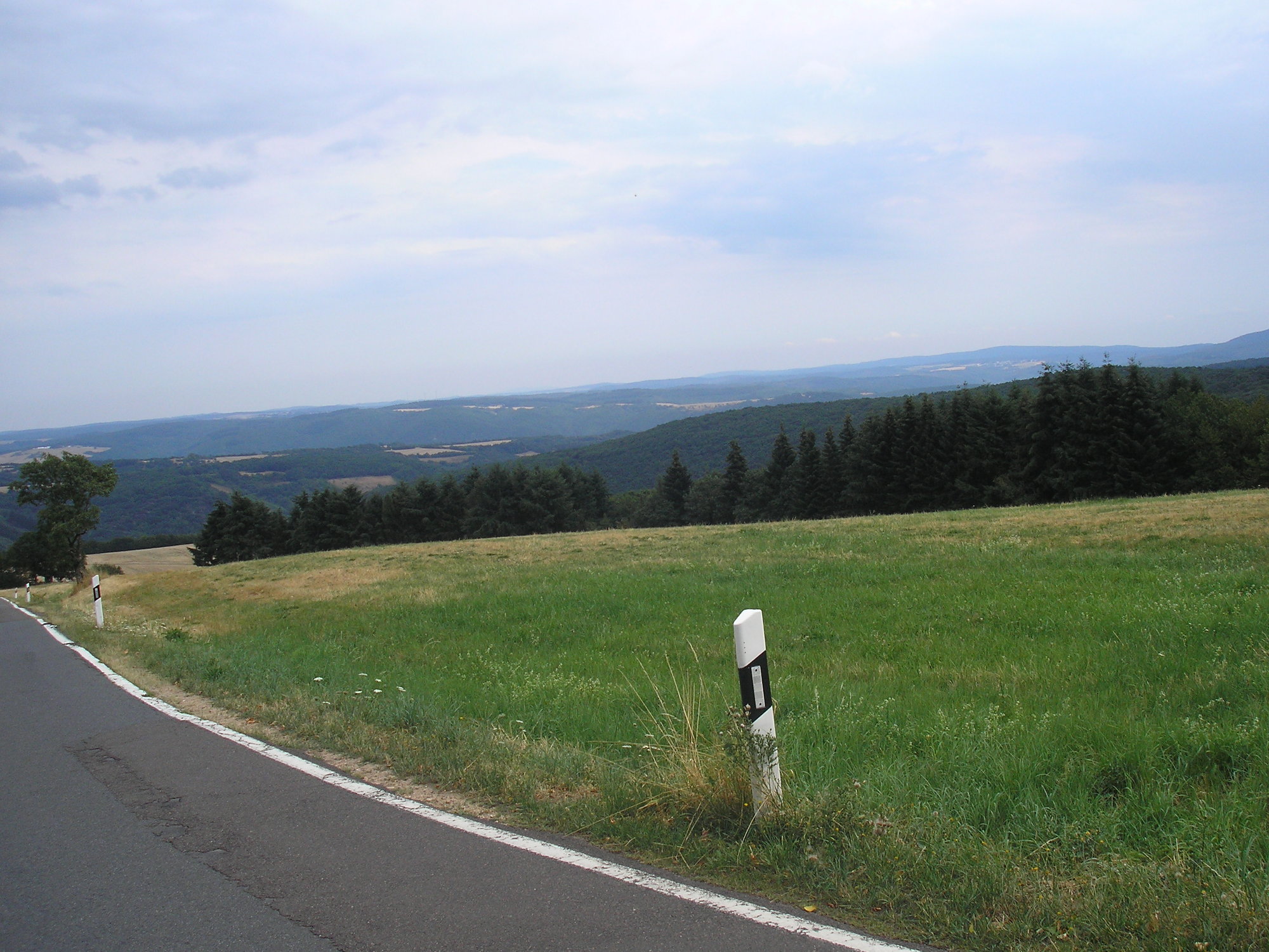
After less than an hour of climbing, the almost Alpine village of Breitscheid appeared. There were some very steep little hills in the village, and I played leap-frog with a post van that was doing its rounds. I had less than 50m to climb, and slowly pulled up onto the rather exposed high plateau which forms this strange wedge between the steep river gorges. It was overcast, cool, and windy - and I had not needed to drink a drop of the water I had collected.
| Heart | 0 | Comment | 0 | Link |
| Heart | 0 | Comment | 0 | Link |
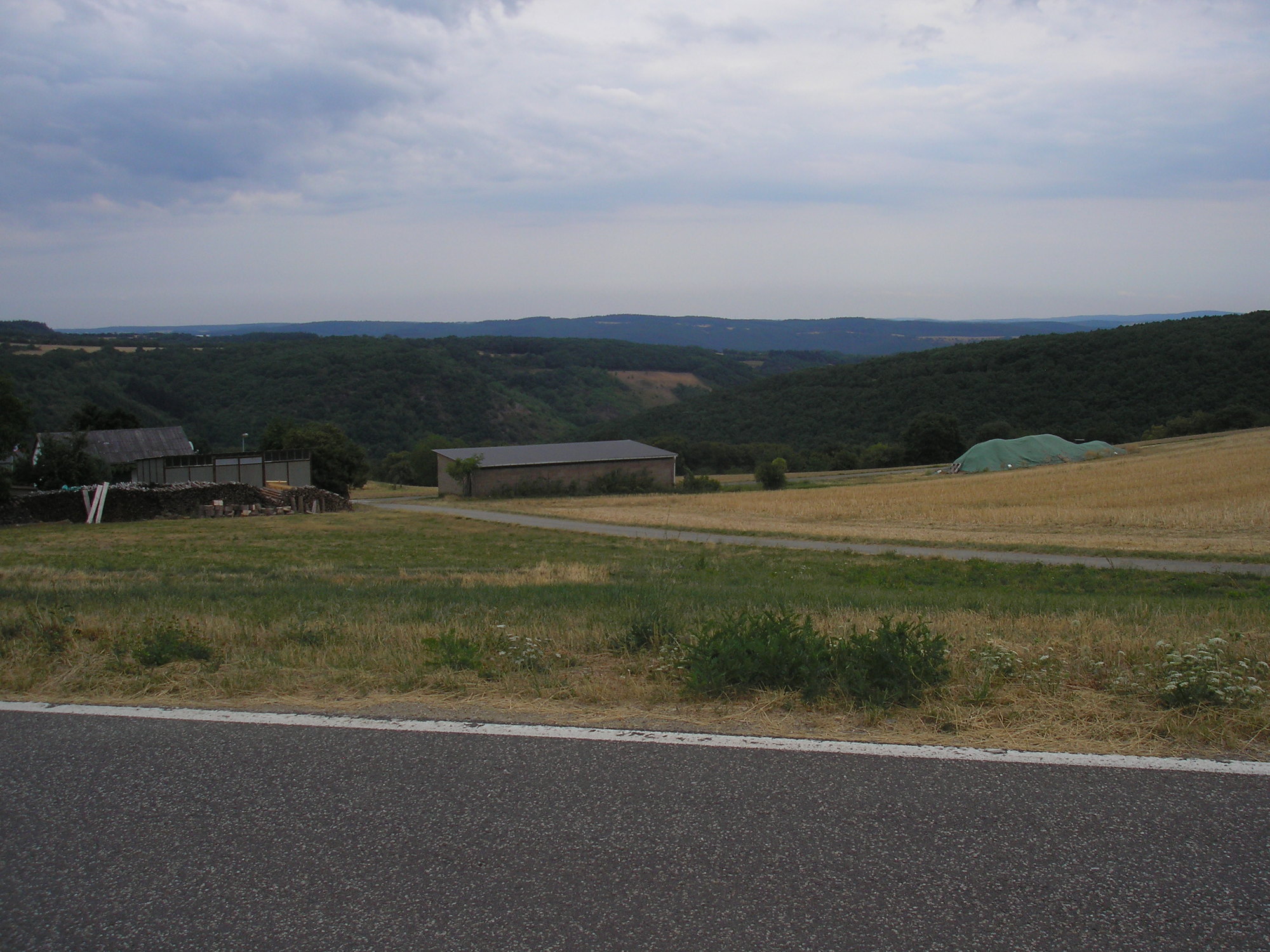
My ADFC map was stridently marked with official cycle routes crossing the plateau, but since leaving the very clearly marked routes by the Rhine I had seen no evidence for these at all. My next stage was to cut through a forest nature reserve, following which I should be able to cross the autobahn which runs on the plateau (as there is little space for it in the river valley). From there, my plans were somewhat vague: the town of Kastellaun had a camping site marked, and would make a good half-way point. I felt strong, though, and figured it was possible I could cross the plateau and descend into the Mosel valley by the end of the way.
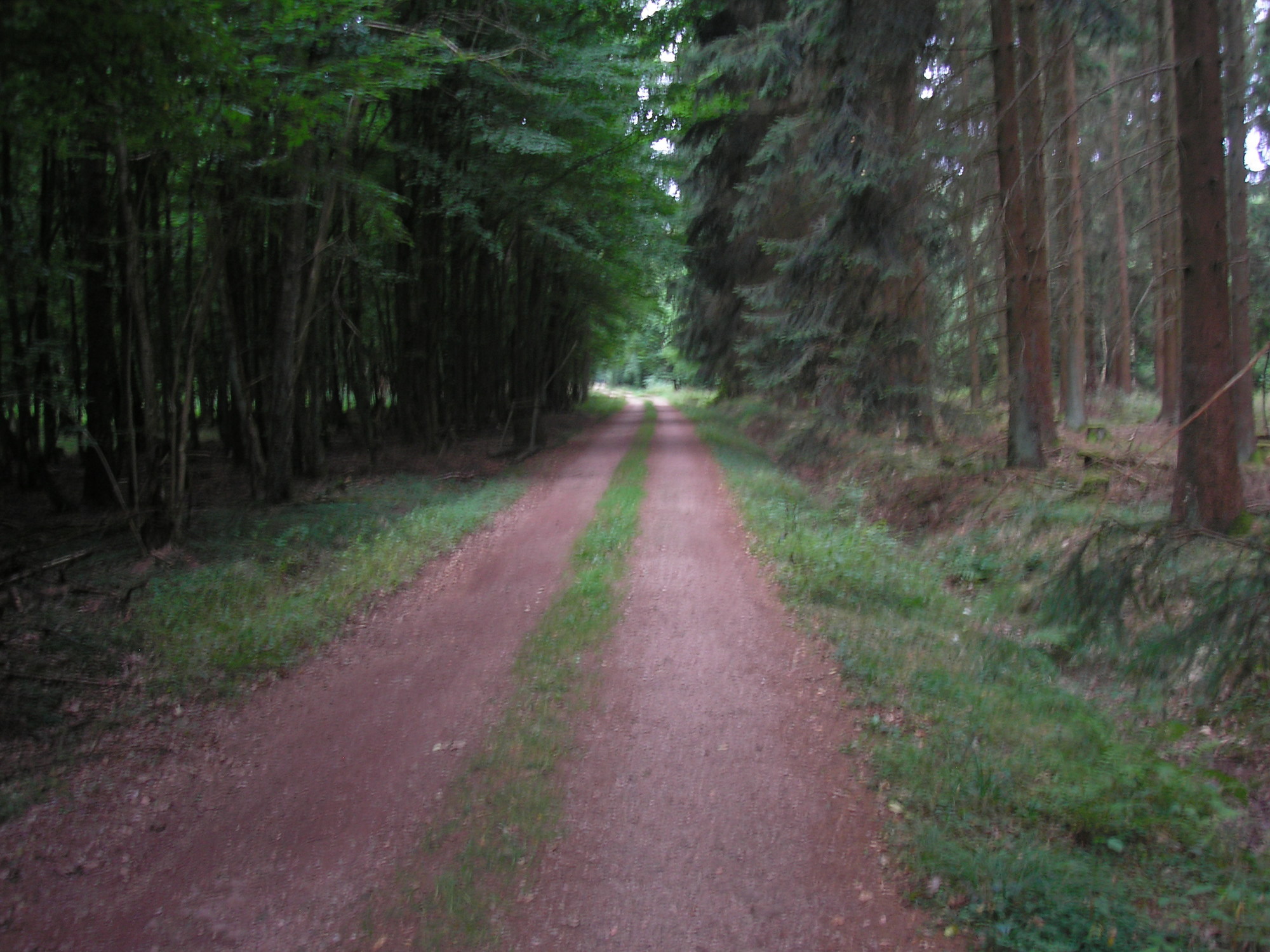
I emerged onto the road as promised by the map, but there was no sign of an easy way to progress through the wood. I followed the road South, saw a promising entrance, and was led to the North again. I was cycling on deserted forest paths, floored by pine needles - after a few days of municipal bike-path riding this was enjoyable. But I had no idea where I was going. An information sign was completely baffling; I got my compass out again and again as I sought some way to the West.
I was pretty relaxed, but I must have described a wide figure-of-eight as I tried to get around that forest. As I cruised under the branches, I felt the first spots of rain, and realised that it was beginning to come down quite heavily. Eventually I reached a broad walk, heading due South, which I seemed to follow for several kilometres. I was convinced that I would emerge far beyond my goal, but to my surprise the forest opened out, I heard the roar of the autobahn, and there was clearly the bridge over which to cross it.
As I prepared to go on, the rain started to come down vigorously. Through all these days of sweltering weather I'd been carrying a waterproof jacket and waterproof socks everywhere - but I couldn't be bothered to put them on now, as the warm rain was so refreshing. My ADFC maps insisted they were waterproof, and to my astonishment the raindrops ran off them like clingfilm. I completely saturated the map I am referring to now, and it dried out good as new. German quality!
Rather than head further North than needed to be at Kastellaun, I decided to abandon the poorly-marked cycle routes and just cycle the backroads. It is amazing the degree to which the ADFC maps discourage this: the backroads are very pale and hard to read, and don't distinguish well between genuine deserted country lanes and what would be a busy B- or A-road in the UK.
But I wasn't in the mood for their sinuousness and tendency to climb - so I struck a direct course through the villages of Morschbach and Wahlbach towards the small town of Simmern, from which I could pick up (what looked like) more major cycling routes to the West. It was very dim, so I turned on my lights so the now frequent traffic could see me, and struck off.
The rain hammered down, and I was completely saturated. I completely disregarded the earlier advice to myself, and went downhill at speed - I actually had very good confidence in my damaged wheel by now, but it was sometimes a touch perilous. In this adrenaline-pumping state the villages flew by, and I soon found myself on the very busy approach to Simmern.
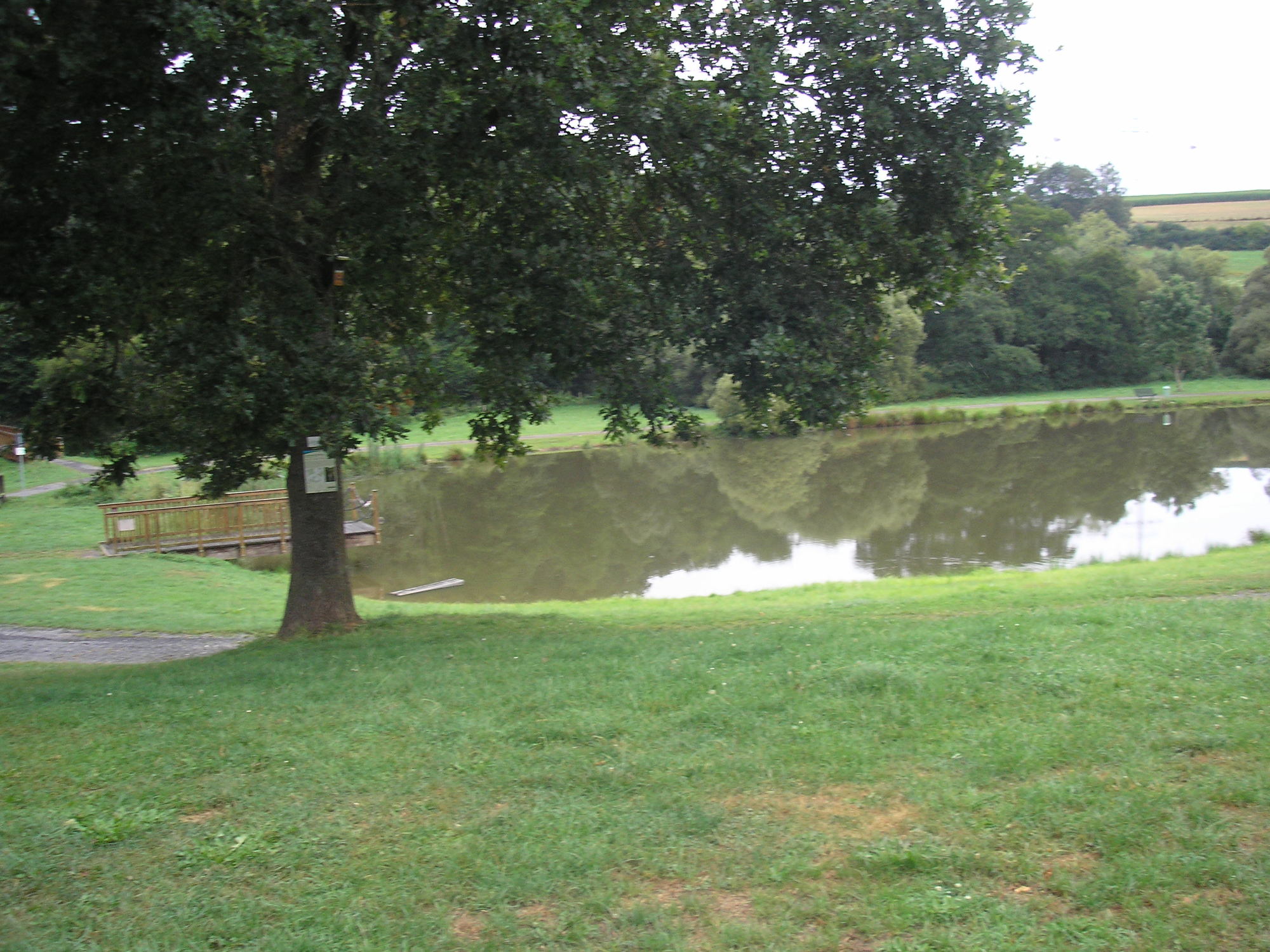
Simmern, AKA Husruck, has a bizarre geography, layed out over a series of hills that gave me an almost Escher-like impression of confusion. I gratefully peeled off the road to a local landmark - the Simmer See, really just a pond - and then followed bike routes that took me North, West, South, North again, descending all the time through fields and woods with no sign of the town. I was amazed to emerge in the middle of the built-up area: I couldn't tell you the route again if I tried.
I had some difficulty getting out of Simmern, despite some advice from a helpful local. I ended up cycling down and then up the busy exit to the town, failed to find the bike route, and then in desperation simply cycled out the town on the main road. Of course, in less than a kilometer I picked up the cycleway, and thankfully left the main road.
It had stopped raining and I was drying out, but the soaking and navigation problems had somewhat taken it out of me. Nevertheless, I had a lot of energy left - and with only 85km on the clock, I was left with a dilemma when I passed a bike route sign with directions to Zell, on the Mosel, and less than 30km away. The area of the plateau was rather forsaken territory for cyclists or indeed tourists of any sort: there was no real evidence of campsites and the towns were small. The Mosel valley would be sure to have plenty of services, in contrast - even if I arrived very late I would certainly be able to camp and get a meal.
I stood for a full five minutes and considered. It would make it 110-120km day, which with the uneven terrain and weather would be a long one. The thing that finally spurred me on to take the turn was, in the end, the surface. While they were well signed, the bike route I was following was a sometimes deeply muddy track; and the route North was harder packed. A bit of a superficial decision, and the dodginess of the surface was to come back to haunt me.
The route to Zell didn't seem to be officially marked on the map, unlike the Hunsruck route I had previously been following. But it broadly linked the villages of Fronhofen, Biebern and Kappel before descending into the valley, I guessed, somewhere near Altlay. I say linked the villages: in actuality, the route strenuously avoided the villages, instead insisting on contouring above them through field and woodland, over rutted surfaces and sticky mud.
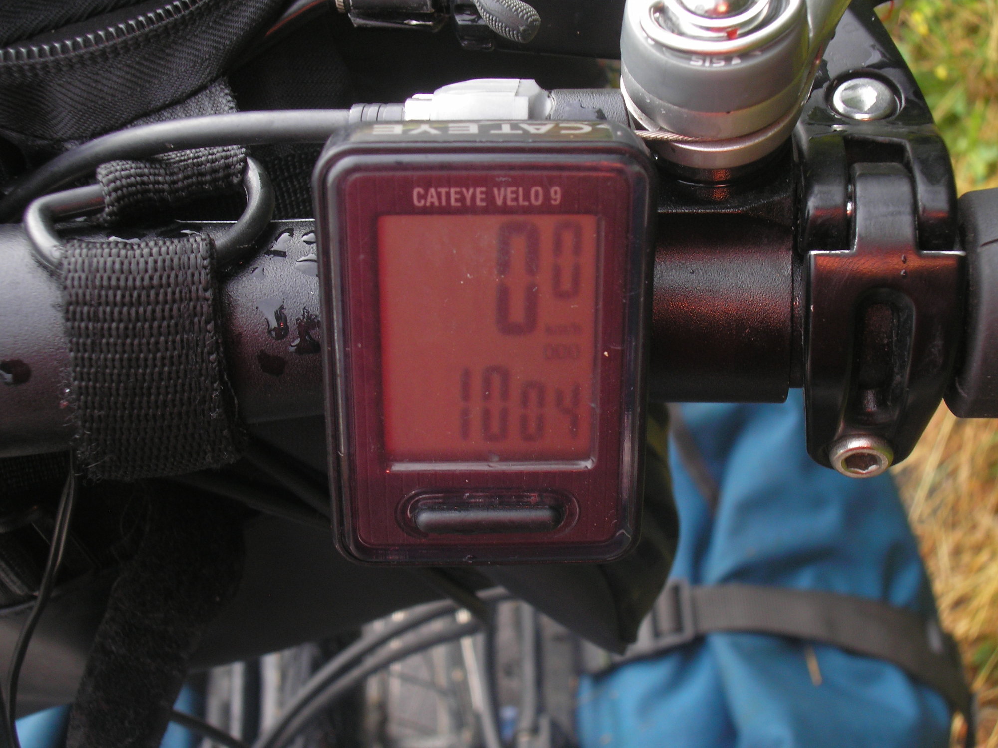
The going was frustratingly slow - and I realised that at this rate, the 30-odd km to the Mosel valley were going to take me many hours. I descended to the village of Fronhofen, and then followed the signed cycle route which again took me on a wild goose chase through the fields. Convinced my slow speed was a result of sheer slackness on my part, I stopped and wolfed down some chocolate and sweets. It was only at this point that I realised that I'd gone over the 1000km mark - and had been too fatigued and preoccupied to notice. So I had to commemorate it a few kilometers late.
| Heart | 0 | Comment | 0 | Link |
A few minutes later I decided that this was madness, and in the midst of all this quiet landscape I should call it a day and wild camp. I had plenty of supplies and water, and the rain seemed to have disappeared for good.
I abandoned ship on the terrible official bike path, and took the first road I saw to the village of Biebern. It amazed me how much better I felt and how much faster I moved over the landscape back on the (quiet) roads. I had in mind a big expanse of forest on the map between the villages of Reich and Kappel. I quickly crossed through Reich, and sure enough there was a satisfyingly dense stretch of forest, crossed by minor roads.
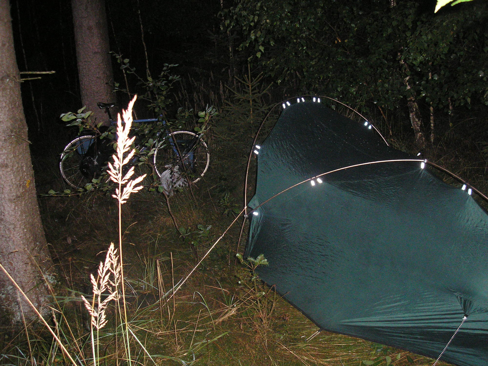
I slowly made my way through the forest. I clocked a nice little clearing, but it was too close to some buildings that looked like they were the centre of forestry operations. As I dithered, an old fellow on a bike rather charmingly offered directions - I asked the way to Kappel, as I wasn't sure how my real intention of camping in the woods would go down. Not far beyond I found a crossroads, and easy tracks heading into the woods. It wasn't far from the road, but was sheltered and clear.
It was only 5pm. I sat on a treestump, and ate and recovered. The few other cyclists on the road zipped by out of sight. I cooked up some pasta with cheese, and cleared the area of big slugs - I seem to be haunted by these - before putting up the tent as it got dark. Bizarrely I could hear drum 'n bass music pumping from somewhere: there were no villages within kilometers, and the sound came and went with the wind, so it hardly disturbed me - but still, strange.
Today's ride: 105 km (65 miles)
Total: 1,037 km (644 miles)
| Rate this entry's writing | Heart | 1 |
| Comment on this entry | Comment | 0 |