August 4, 2023 to August 6, 2023
To Boise: the endless drive
I think I can speak for both of us in saying that the three day drive from Canmore to Boise didn’t go as either of us had expected. It’s a long ways - by the most direct route through Cranbrook, Coeur d’Alene and Lewiston it’s about 13 hours and 700 miles. We could do this in two days, breaking the drive in some spot like Sandpoint; but six or seven hour drives are really pushing the limits of what works for us any more, and it’s not really our style. We’re much happier with 4-5 hour drives with a break somewhere along the way to take a hike.
So that’s what we planned on. By the time we started looking for affordable lodging though, we had a hard time finding two stops that made sense drive-wise and cash-wise. After much research and discussion we decided to add a hundred miles to go slightly out of our way and spend the first night in Creston and the second in Kennewick. I mapped out midway bike rides for both of the first two days with the idea that we’d come up with someplace to stop between Kennewick and Boise the night before the time comes.
Day 1: To Creston
Our first day went partly as planned, in that we completed the drive along the intended route. We fell short on the other half of the plan though, biking or walking exactly zero miles and taking zero photographs. The ride began by biking west to Banff and then taking the cutoff to Radium through Kootenay National Park. You’ll remember that we biked part of this road through the park during our stay in Radium, and the plan for today was to pick up where we ended that ride and continue west.
That didn’t happen. Not far east of Canmore the sky started hazing over; and by the time we entered the national park the visibility was terrible, the worst we’ve experienced all month. Nothing about this made it look appealing enough to want to stop, unload the bikes, bike through this unhealthy-looking miasma and then load the bike up again. We decided instead to drive through to Creston and take an end-of-day walk through the nearby wetlands.
That didn’t happen either. This smoke and haze alleviated somewhat as we neared Radium, but soon picked up again and remained with us the rest of the day. When we got to Creston it was 90 degrees, stultifying and smoky so neither of us was inspired to do anything beyond staying in our room for the rest of the day.
That’s not exactly right though, come to think about it. Toward the end of the day Rachael muttered something about using up the last of our Canadian money and then slipped out the door while I was hard at work catching up on the blog. After what must have been a half hour it suddenly occurred to me that she hadn’t come back yet from what I’d thought was an outing to the motel office.
Concerned that she might have a problem or be lost, I gave her a call; and then became alarmed when I discovered she’d walked off without her phone. I reached for the car keys intending to drive around looking for her, but couldn’t find them because she had apparently taken them with her. So I went off on foot, taking my phone and leaving hers so she could call me if she returned; but then went back again and switched them. If she used someone else’s phone to call me she probably couldn’t reach me on my phone because I’m on a Canadian SIM card and she wouldn’t know my number.
Finally though I’m out the door and on the street looking around for the most likely direction to start walking in search of her. I pick the obvious spot, the nearby grocery store - and when I get there she’s just coming out, unconcerned. She’s just been taking her time deciding what to buy that would use up her final few dollars plus change.
So, a big nothing - but it does get me out for a small bit of exercise.
To Kennewick
It’s another four and a half hour drive, with the plan to break it in the middle with a ride west of Sandpoint along the Pend Oreille River. There are two options for this ride. The Northern Tier runs through here on the north bank, on the shoulder of Highway 2. That doesn’t look appealing though (and why do the ACA routes spend so much time on highways, anyway?) so I’ve mapped us on the south bank along Lakeshore Drive. It looks good on paper, but when we get there it’s narrow, completely shoulderless, twisting, and the roadside highlights the occasional Let’s Go Brandon sign. This all feels precarious, and quickly lose interest in the project and decide to just keep driving.
The next two hours bring us wide open, barren country - we’re driving down between the Palouse on the left and the Scablands on the right. It’s country that might make an appealing ride if it weren’t for the fact that it’s smoky here too. So we drive straight through to Kennewick and check ourselves into the Clover Island Inn, a nice waterfront hotel we’ve stayed at twice in the past on a pair of short regional tours.
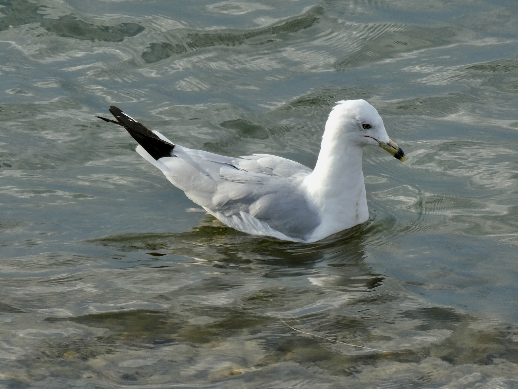
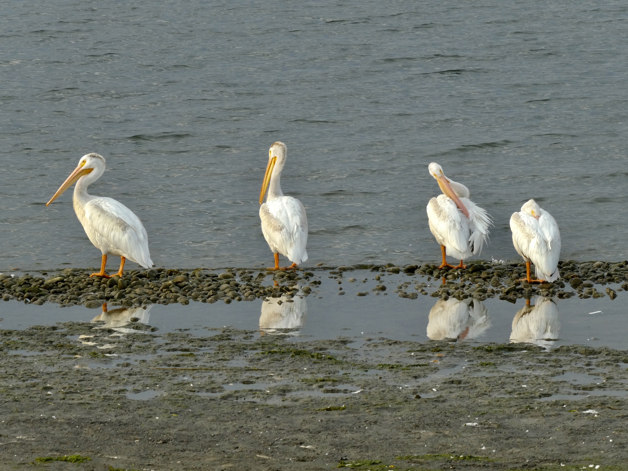
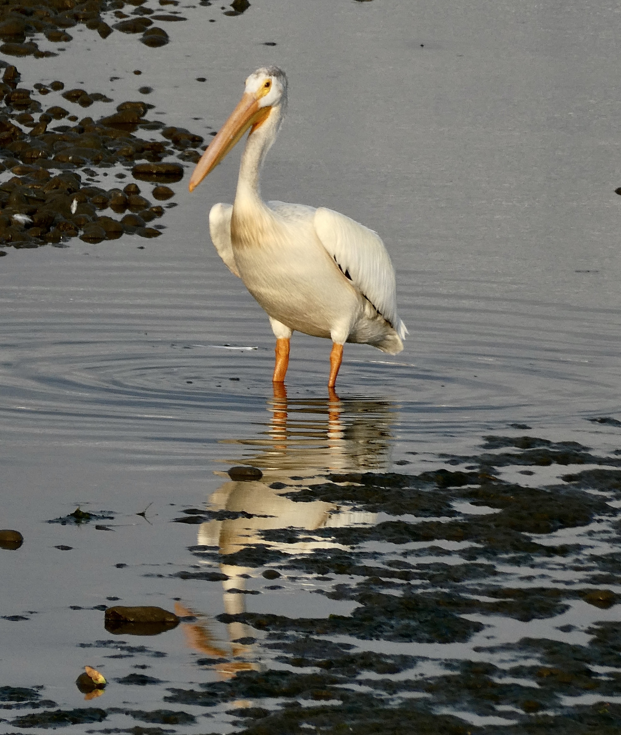
When the time comes we have an OK meal at the Ice Island Brewery and then enjoy the best experience of the last two days when we walk along the waterfront enjoying the views and birdlife. We walk only about a mile and a half before turning back, but the riverside trail continues on along the Columbia for another fifteen. When we get back to the room I map out a forty mile loop that we plan to take in the morning before driving on to Boise. It looks like the best ride available, and should be really refreshing first thing in the morning.

| Heart | 3 | Comment | 0 | Link |

| Heart | 3 | Comment | 0 | Link |
| Heart | 1 | Comment | 0 | Link |

| Heart | 5 | Comment | 4 | Link |
1 year ago
1 year ago
1 year ago
Most of my youthful summers were spent on lakes in Sask., and pelicans were ubiquitous. Even with that, I was surprised to see them in Cypress Hills, which is basically on the AB, Sask and Montana border.
https://www.cycleblaze.com/journals/cypress/day-4-back-to-elkwater/#22351_qocort5r4v6y3bcep576k7r88wy
1 year ago

| Heart | 2 | Comment | 2 | Link |
https://www.youtube.com/watch?v=PUVw2MpnrLk
1 year ago
1 year ago

| Heart | 2 | Comment | 0 | Link |

| Heart | 3 | Comment | 0 | Link |

| Heart | 4 | Comment | 0 | Link |
To Boise
One theme of the last half of this tour has been the bouncing back and forth between Pacific and Mountain time. It started in Cranbrook, when we crossed into MST and lost an hour. We got it back when we crossed back at Revelstoke several days later. Then Mountain again at Jasper, and back to Pacific in Creston. And today we cross the line again for the fifth time in two weeks, losing an hour somewhere near the Idaho border.
Somehow though, for as often as this has happened it still catches us by surprise until we suddenly realize we’re gaining or losing an hour again. This morning, it’s Rachael who’s first to figure it out. And once she does, she immediately jumps to the plan for the day, starts mentally adding up the hours, and realizes we don’t really have time for that ride along the Columbia after all. Four hours to bike, five to drive, two to eat breakfast and digest - it doesn’t really all fit if we’re going to arrive in Boise in time for dinner.
So, for the third day in a row we basically just drive, which coincidentally is murder on my poor knees. By the time we finally arrive in Boise I can barely hobble when I carefully lift myself out of the car.
The day is not without interest though, beginning with the stop in Baker City for a break from the road. Rachael’s scouted the town for an interesting cafe or coffee shop, but it’s Sunday. Most things are closed, but she does find a Starbucks open so we go there. When we arrive though we see it’s one of those Starbucks storefronts - not a real coffee shop, but a stand in the corner of a Safeway store. Not exactly the place we want to hang out for an hour to rest my eyes and straighten my legs, so we go to the other Starbucks. That too is one of the same ilk, this time in an Albertsons. It’ll have to do though, so we grab a dingy table and I order a hazelnut steamer served in a (grrr) paper cup. I hate coffee served in paper cups.
The next point of interest comes an hour later when we’re somewhere near Pleasant Valley on the south side of the Wallowas and we pass a fully cdloaded bike traveler biking east on the shoulder of the freeway. Ahead, the sky is black; and within a mile the roof falls in and an intense cloudburst is unleashed, bad enough that driving feels precarious because visibility is suddenly so terrible and there’s so much water on the road. Suddenly there’s a flash of lightning and maybe one second later a terrific thunderclap, loud enough that we hear it in the car over the noise of the rain and the eee. Bad enough that all the drivers are crawling along at about 30 mph until it relents. The whole time I’m driving through this I’ve got half a mind back on that poor biker, hoping he’s OK.
So those are the highlights of the drive; but the best by far is yet to come, when we arrive in Boise and pull into the driveway of our friends we last saw in southern Italy a few months ago, those cycle touring rock stars, Racpat. We’ll be here for two nights, so we’ll talk about that tomorrow.
| Rate this entry's writing | Heart | 9 |
| Comment on this entry | Comment | 1 |
Thereby answering your own question. It's my understanding that ACA does a great deal of recon and field research, choosing the best - or, sometimes, the least worst - of the available options.
1 year ago