July 14, 2023
In Penticton: White Lake Grasslands
Thanks go again to Jacquie and Al, who steered me toward today’s ride - especially Al, who bikes often over here and sounds knowledgeable about all the cycling roads around Penticton.
I’m riding solo today, with Rachael deciding she’s way overdue for a good long hike in the hills. She’s sick of sitting in the car anyway, and today’s ride requires a short drive. I’m off to the roads around the White Lake Grasslands Protected Area, about twenty miles southwest of town up on the plateau above Okanagan Falls. I get an early start, leaving about 7:30 after coffee and a light breakfast in our motel room. Rachael leaves for her walk at about the same time, both of us wanting to get our outing in before the day heats up too much.

| Heart | 3 | Comment | 0 | Link |
It’s a fast drive south to Okanagan Falls down the west side of Skaha Lake on Highway 97 as it rises high above the water on the face of whatever this dramatic formation is before dropping steeply down again. If it weren’t for all the traffic it looks like it would be a fine bike ride, but even with an abundant shoulder it’s really too busy to be enjoyable. Going south on the Eastside Road as we did yesterday is vastly better, and I imagine the KVR (Kettle Valley Rail Trail) must be best of all, on the right bike.
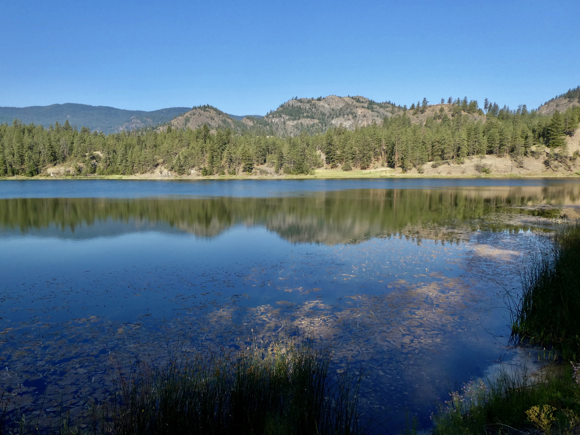
Just before Okanagan Falls I turn off onto Green Lake Road, leave all the traffic behind, and start climbing. Right away I know I’m going to like this country, as a pair of California quail scramble across the road just ahead of me. My plan is to drive up to Green Lake at the top of this climb and park there, avoiding a climb I probably shouldn’t be attempting under the circumstances.
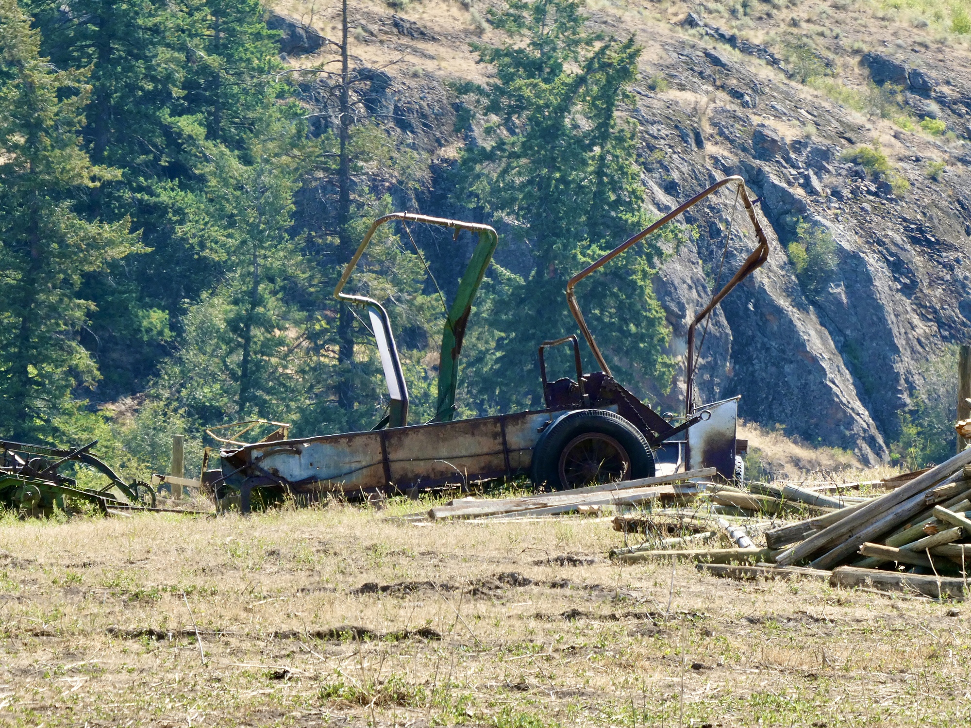
There’s nowhere to park at Green Lake though so I continue on another mile to Mahoney Lake, find find a spot there, and start unloading the bike.
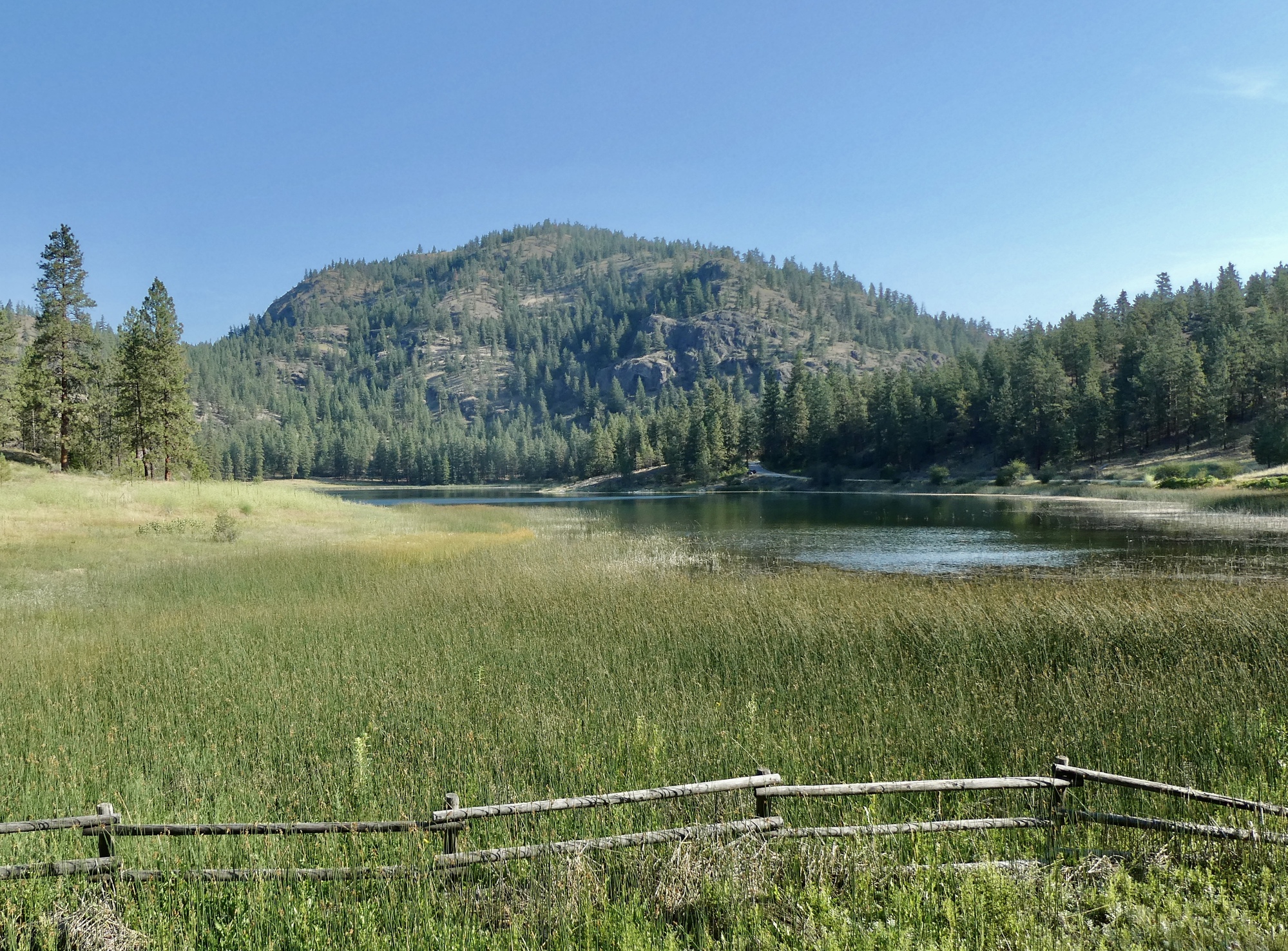
I’ve mapped out a sort of Y-shaped route for myself. It starts by biking a few miles to Willowbrook and then taking the right branch northwest past White Lake to the high point before the road starts dropping off the other side toward Highway 3A. It would be a reasonable ride to make a loop by continuing on this way and following 3A east to 97 and then south up Green Lake Road. That’s not the plan for today though. It’s more highway riding than I want, and probably more vertical work than my cardiologist would recommend.
Instead, I’m happy to stare west over the edge and then turn around and sail back to Willowdale through the same gorgeous country I just climbed up through. On the way down I spend a long time staring up at a western kingbird, impatiently scolding me and urging me to get off his lawn.

| Heart | 1 | Comment | 0 | Link |

| Heart | 3 | Comment | 1 | Link |
9 months ago

| Heart | 2 | Comment | 0 | Link |

| Heart | 1 | Comment | 1 | Link |
9 months ago

| Heart | 2 | Comment | 0 | Link |

| Heart | 4 | Comment | 1 | Link |

| Heart | 6 | Comment | 4 | Link |
9 months ago
9 months ago
It’s not DDT (which mostly affected birds at the top of the pyramid like bald eagles and osprey because it concentrated there and affected their calcium metabolism, resulting in brittle eggshells)
The problem with bluebirds is habitat loss and species competition. They nest in cavities, such as holes drilled out of snags by woodpeckers. There are fewer nesting sites, and they tend to lose out to more assertive species. They’re definitely making a comeback though, because of campaigns to erect birdhouses with the right size holes that larger birds can’t fit into. The bird here was nesting in one. Once you start watching for them in the right type of country, they’re getting fairly common.
You could see them yourself if you took a jaunt up to Bickleton this summer before they fly south. The village bills itself as the Bluebird Capitol of the World: https://www.cycleblaze.com/journals/pdxbriefbreaks/the-bickleton-loop/#2772_326c0193a47b3f98f2ea58c9fbf79ac6
9 months ago

| Heart | 1 | Comment | 0 | Link |
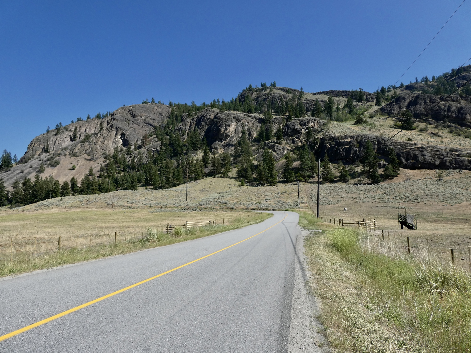
Back at Willowbrook, I head south toward Fairview on Willowbrook Road on the other leg of my Y-shaped route. The idea is exactly the same here - I gradually climb until I reach the high point on the road, look down the other side, and then turn around and coast back. It’s not that I’m lazy and want to avoid some extra work. I could keep going and drop down to Fairview or even so far as Oliver and then climb back up again, but I like the symmetry of following the same model as I did along the White Lake leg.

| Heart | 5 | Comment | 0 | Link |

| Heart | 10 | Comment | 2 | Link |
9 months ago

| Heart | 3 | Comment | 0 | Link |

| Heart | 3 | Comment | 0 | Link |
It’s after one when I make it back to the car, and heating up enough that I’m glad to be getting off the road. I’m not particularly happy about getting into the car though, which is an oven after sitting in the full sun for the last three hours. I roll down all the windows and sit carefully on the seat, pulling my shorts down a bit so my bare legs won’t get seared by it.
Rachael’s been back about a half hour when I return, excited about her hike and the terrific views she enjoyed and anxious to share her photos. I’m sure she’ll share them with you too when she gets around to it.

| Heart | 3 | Comment | 0 | Link |
____________________
2023 Bird List
169. Mountain bluebird
Today's ride: 36 miles (58 km)
Total: 708 miles (1,139 km)
| Rate this entry's writing | Heart | 9 |
| Comment on this entry | Comment | 3 |
9 months ago
9 months ago
9 months ago