July 16, 2023
In Nelson: Pass Creek Road
Now that we’re here, I’m surprised at how hard it is to find attractive road biking options starting from Nelson. I remember liking the town the one night we stayed here last time and wishing we’d stayed longer, but we didn’t actually take any rides from here. We just arrived in time for dinner with friends, and drove out the next morning. Something of a research failure on my part.
I do find a pair of candidate rides though, and let Rachael choose which one she wants to join me for. She chooses the ride east to Proctor, but wants to ride it tomorrow when the weather is supposed to be much cooler. Today she’s off on a hike across the river, and I’m on my own for a ride west along the river through Blewett. It’s sort of a screwy route I’ve cooked up for myself though. It’s only about ten miles to the end of Blewett Road after it crosses the river and comes to the highway, too short for what I have in mind. I could ride out the highway a ways just to get more miles in, but instead I’ve added a pair of spurs to check out to a couple of the dams and hydro facilities.
It’s due to be another scorcher today, so we both get early starts. Rachael leaves first, so she’s not around when I unload my bike from the car a few minutes later and discover that she has a cracked bicycle helmet. I wonder how long it’s been like that, but it definitely needs replacement. So I won’t forget later, I try to send her an email about it - but for some reason the send fails. There really is a problem with my phone, which hasn’t functioned correctly since coming to Canada.
There’s nothing else to be done about that now though, so I proceed with my ride. The first miles, out Granite Street and then Blewett, are on the hillly side but very quiet and quite pleasant.

| Heart | 1 | Comment | 0 | Link |
| Heart | 4 | Comment | 1 | Link |
9 months ago
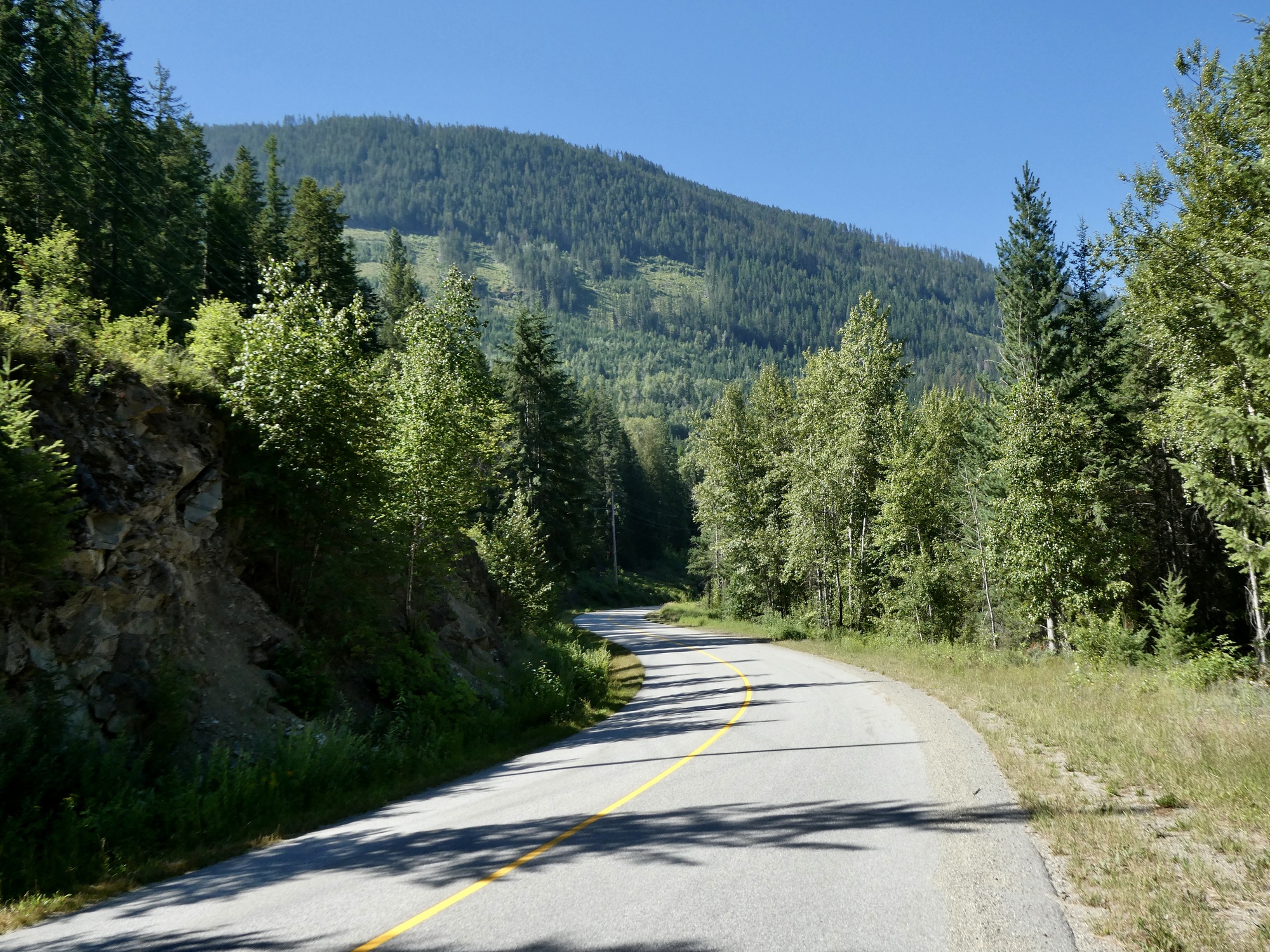
It’s generally uphill for the first seven miles - nothing serious, but a few spots break 10%. I seem to be fine on climbs like this as long as I take my time and don’t push too hard. I’m pretty sure keeping hydrated and adding electrolytes to the bottle are helping too. Unless I’ve forgotten something, I don’t think I’ve had an episode since that strenuous ride to Rocky Point over three weeks ago.
It’s steeper and a more sustained descent on the other side though, and maybe more than I should be doing on a hot day. I’ll think it over, but I might decide to return to town along Highway 3A instead.
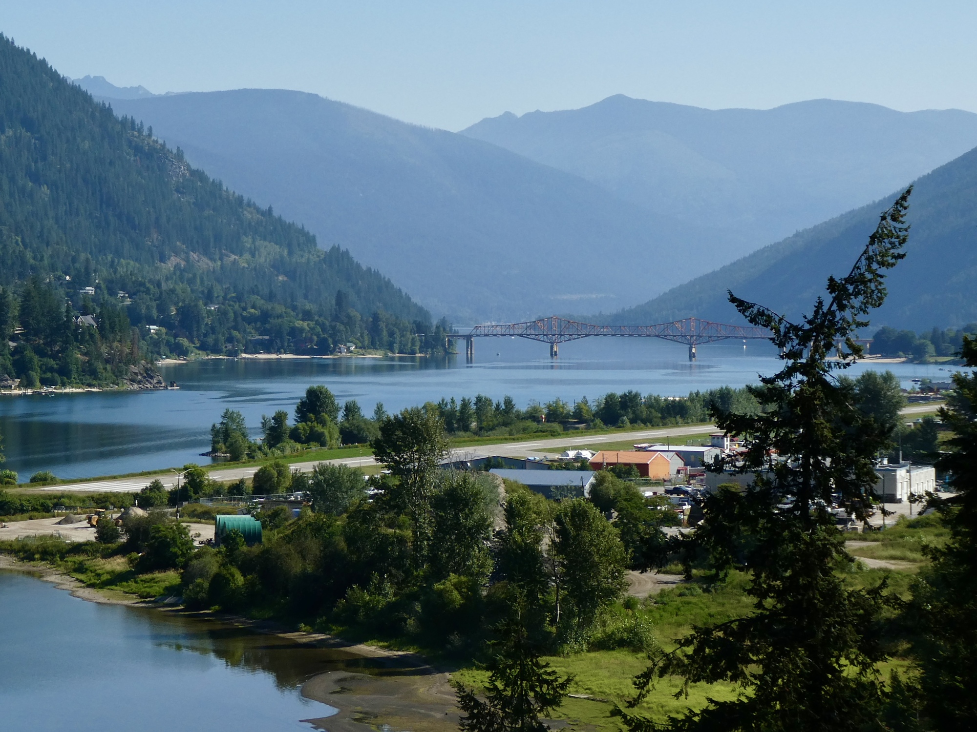
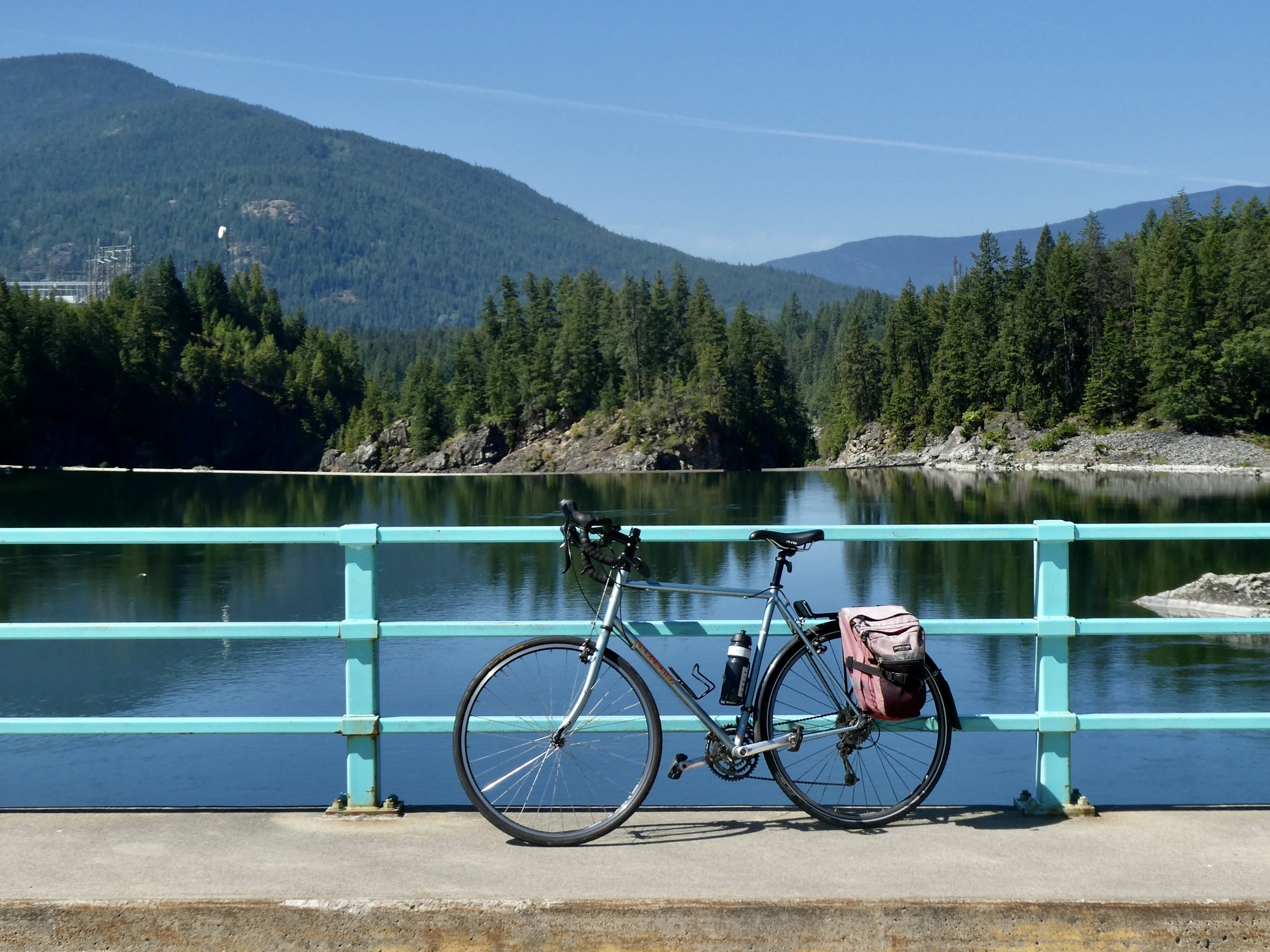
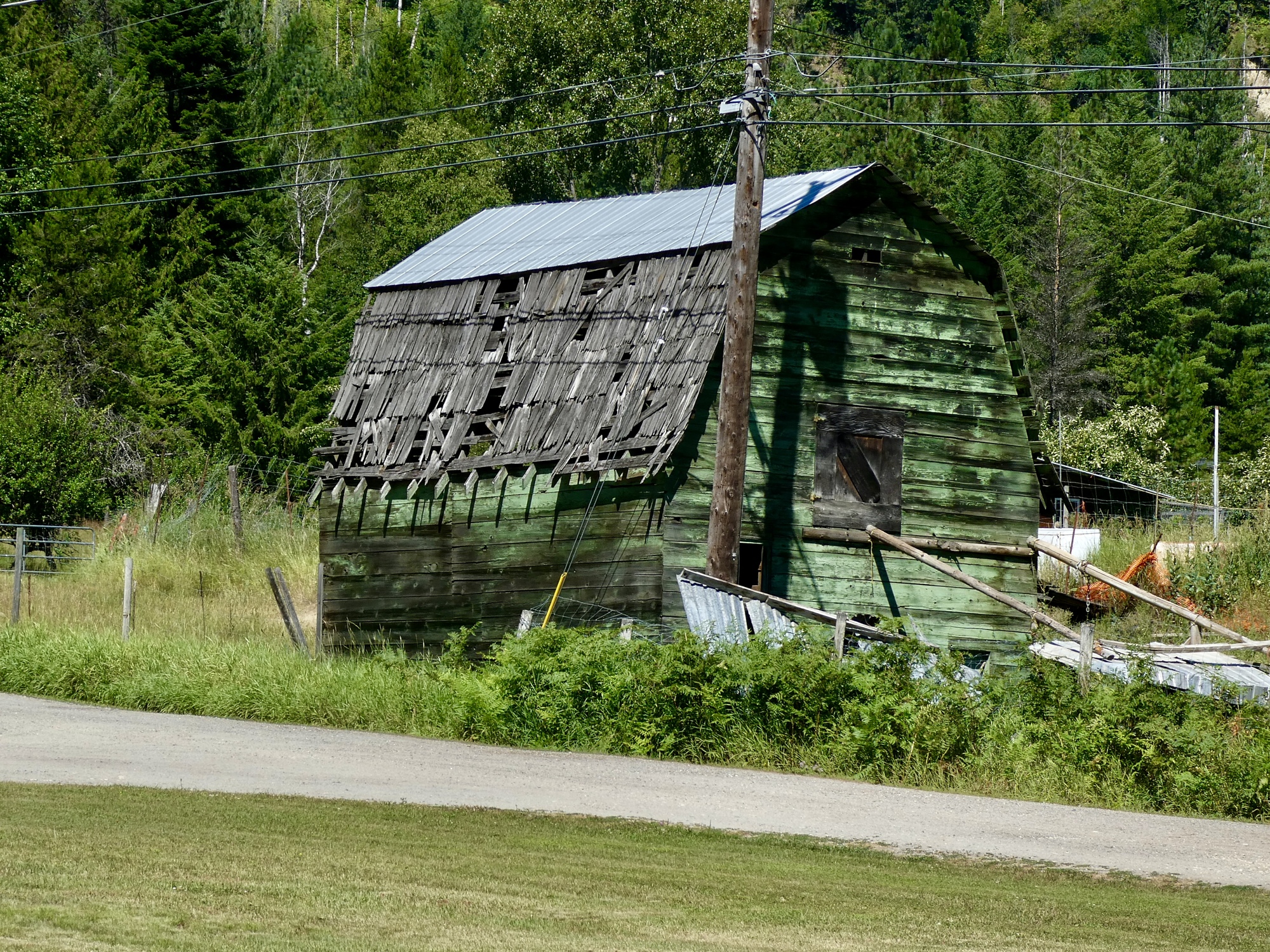
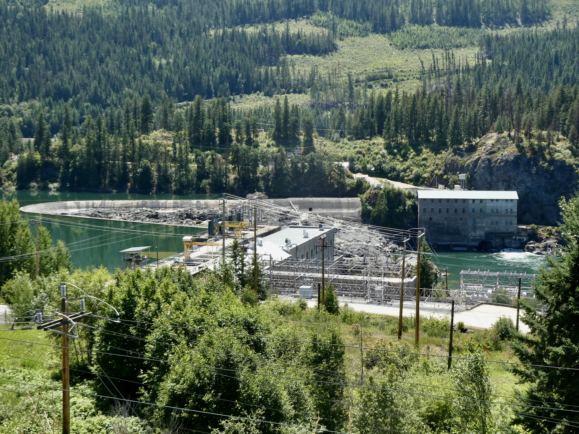
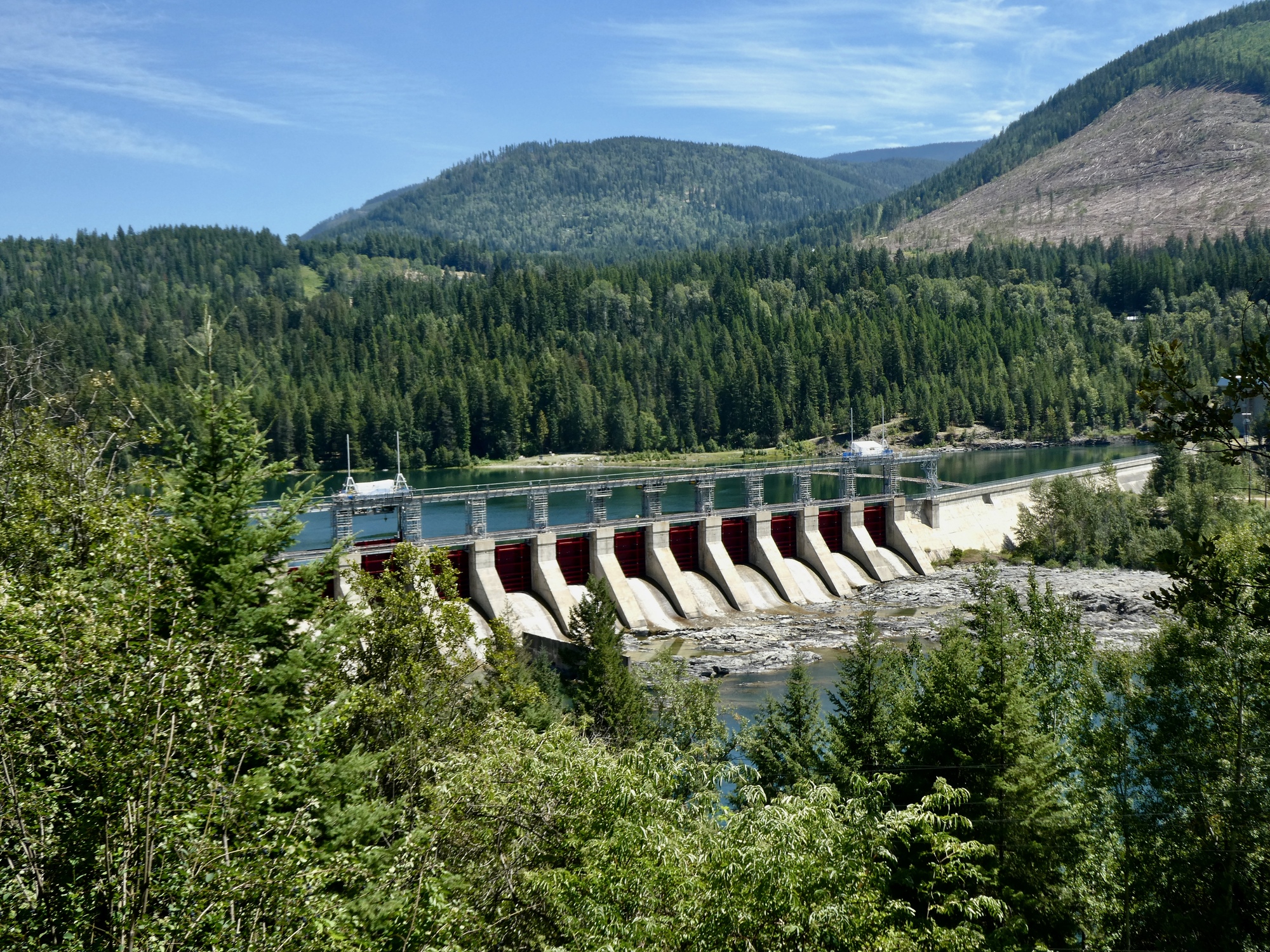
At the bottom, Blewett Road crosses the river on a small, nothing bridge. I’m surprised it’s here, actually. I wonder what the history is here, because there certainly doesn’t seem to be enough traffic to merit it now. It must relate somehow to the development of the hydro facilities.

| Heart | 2 | Comment | 0 | Link |

| Heart | 1 | Comment | 0 | Link |

| Heart | 1 | Comment | 0 | Link |
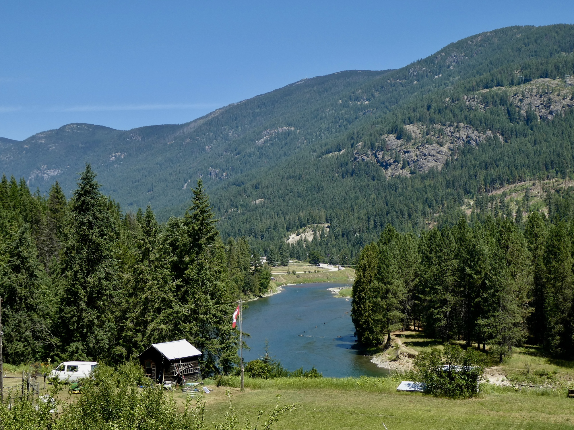
Now that I’m at the end of Blewett, I see that I blew it when planning this ride. The spurs I was intending to explore to add on some miles turn out to all be private access roads to the dams and hydro plants. So that’s out. I could just turn back if I wanted to climb up that hill I just dropped down, but instead I decide to head to the start of the Slocan Valley Rail Trail, follow that until it crosses the Slocan River, and then ride out Pass Creek Road until I’ve had enough. Rachael and I rode out Pass Creek Road together five years ago, so this part is another repeat for me. That’s fine though - it was a good ride then, and once every five years doesn’t feel excessive.

| Heart | 3 | Comment | 0 | Link |

| Heart | 2 | Comment | 0 | Link |
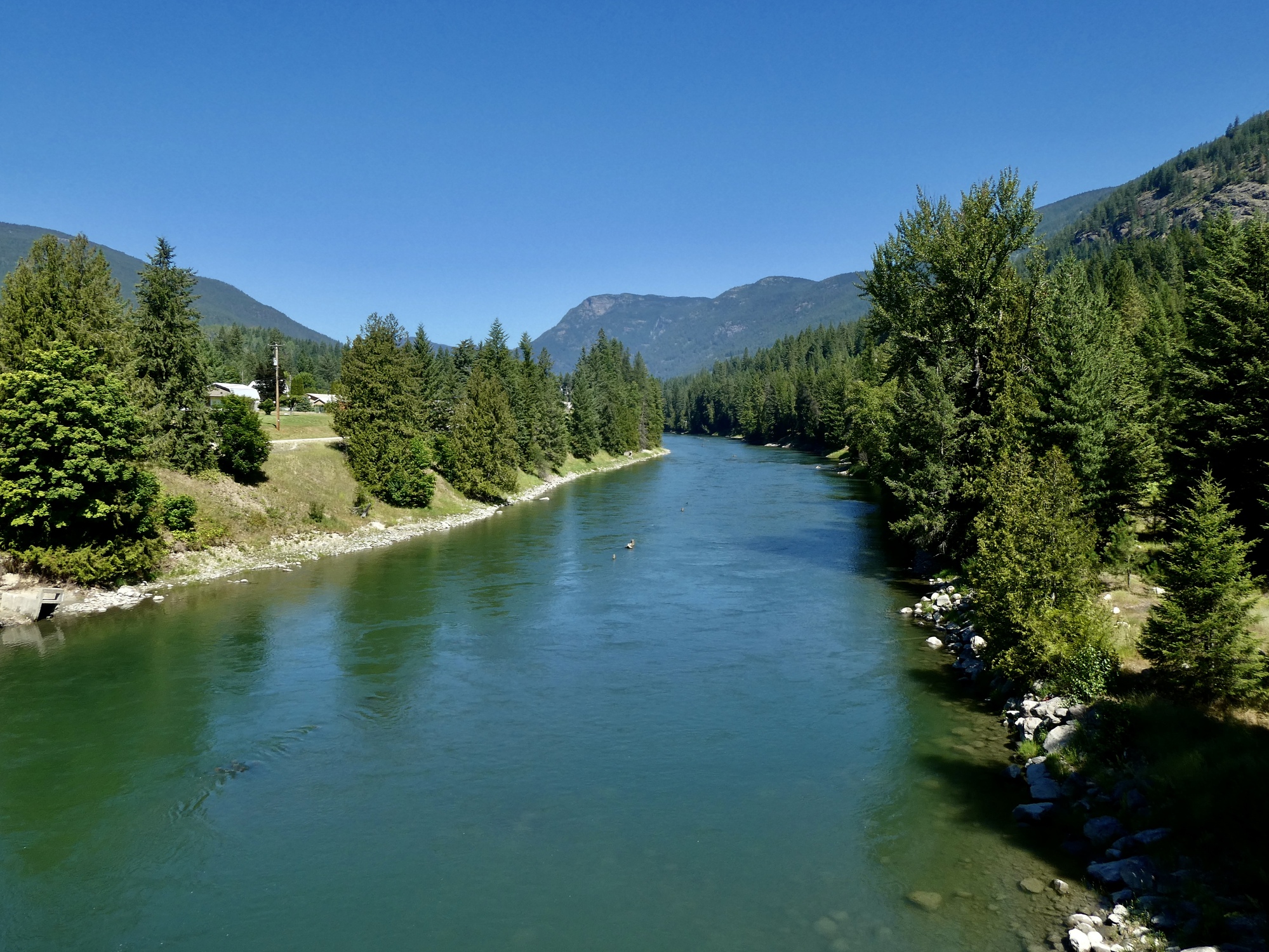
Once I cross the river I enjoy a lazy climb for the next five miles, as Pass Creek Road follows Goose Creek up to its source. I decide I’ll keep climbing until I get to either the divide or complete twenty miles, whichever comes first. In a coincidence, the two arrive within about fifty yards of each other; so it’s the obvious turning point.
And no, I don’t know why it’s called Pass Creek Road. It follows Goose Creek on this side of the saddle and drops along Norn’s Creek on the other. I don’t see a Pass Creek on the map anywhere around here.
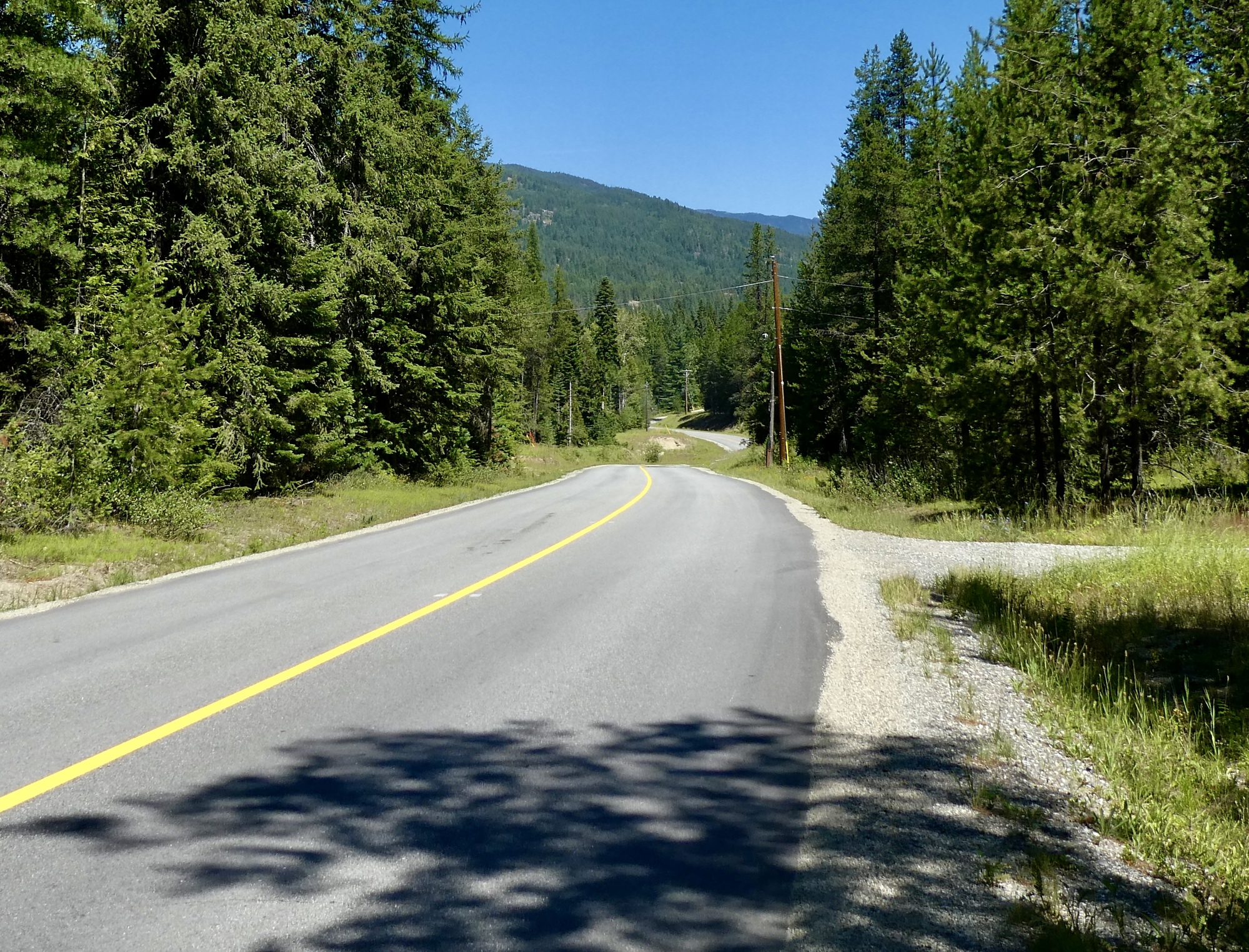
The next eight miles are a fast, pleasant backtrack - coasting down along Goose Creek and then back onto the paved segment of the rail trail. After that though I’m on Highway 3A the whole way back to town. It’s much easier riding than a climb back up to Blewett, but it’s just a ride - a good enough shoulder, but busy with traffic. Overall though it’s a good outing, and probably the best option available here without putting in too much distance or climbing.
Today's ride: 40 miles (64 km)
Total: 791 miles (1,273 km)
| Rate this entry's writing | Heart | 7 |
| Comment on this entry | Comment | 1 |
9 months ago