September 18, 2022
Panguitch to Beaver, Utah
The Sunburned Kid and Butch Cassidy
In the morning, it was darn cold. Someone said it was 39 degrees Fahrenheit but it seemed colder than that. I saw frost in a few spots. My little cabin had heat and I turned it on. It was still dark too. With Autumn right around the corner, the sunny early mornings of Summer had definitely come to an end.
By this point of the trip, we were in an early start mode. As the sun came up, we were packed up and ready to hit the road again. It was approximately 8 miles to downtown Panguitch where we would look for some hot coffee before continuing further. The initial part of the ride was down hill, which is always a treat when it is cold. True to form, the vistas of Utah and its mountains off in the distance are scenes of which I'll never grow tired.

Panguitch, which rhymes with Sangwitch, was a neat town that seemed to be larger than most of the others we had encountered in the Beehive State. On a Sunday morning, not much was open. We settled for the convenience store associated with a Phillips 66 gasoline station. It had hot coffee, food, supplies, and most anything anyone might need, except horse saddles (which we did not really need). We took a break with some warm stuff as the sun rose further in the sky and warmed up the land, as well.

And then, we were off again, riding US-89 toward Utah-20 and another mountain pass. This was a pleasant and relatively level road with some light morning traffic. There was plenty of berm, so I didn't feel particularly vulnerable. We passed more ranches, with greenery and more mountains off in the distances. This part of Utah is very pretty.

| Heart | 0 | Comment | 0 | Link |
As we approached Route 20, Fred seemed nowhere to be found. After pausing, with Jack and the truck, for 10 minutes or so, he and I went back to look for him. About a mile back, there was Fred coming toward us in the right direction. We went back to where we had been waiting, turned left onto Route 20, and waited for him at the gas station, restaurant, convenience store, and tourist trap complex located there. It ended up being another good rest stop before tackling the climb ahead.
| Heart | 0 | Comment | 0 | Link |
Utah-20 turned out to be a more heavily used thoroughfare for getting from US-89 to I-15. If I had it to do over again, I would consider going further North, to Centerville, to take another road over to the interstate.
Luckily, Route 20 initially had a berm, but I could have done without all of the traffic. There weren't very many people living along the road. The landscape had more rocky cliffs and mountains. We left Beaver and entered Iron County, only the 5th such jurisdiction we had seen since having entered Utah a week ago. The counties we had passed through so far are, San Juan, Garfield, Wayne, Beaver, and now Iron.


There was a young fellow standing near a broken down truck, apparently waiting for help. When I got to him and attempted to communicate, it seemed he didn't understand me very well. He was able to convey that help was on the way. I gave him a Cliff Bar, which he seemed to appreciate. Then I moved on.
A big climb loomed ahead. I could see the road curving as it ascended the big hill ahead. A sign said 5 miles to the top. The climb was long and gradual, eventually topping out at roughly 7900 feet of elevation. We paused at the top for another break before heading downhill to an eventual rendezvous with Interstate Highway 15 (I-15).

| Heart | 0 | Comment | 0 | Link |

| Heart | 0 | Comment | 0 | Link |
The descent on Route 20 was a bit sketchy. It was fast, the road winding, the vehicular traffic steady, and the berm very unfriendly. The rumble strips were placed well into the berm, which also dropped off sharply, leaving very little room for error. Staying in the traffic lane with the bicycle annoyed some drivers who were gearing-up for I-15. Nobody treated me poorly. John and Chuck, who were ahead, reported later that they received some unfriendly horns from motorists who wanted to get around them. We made it to I-15 in one piece but, as was stated earlier, I would investigate going further North and crossing over the mountains there, if I had to do this again.
By way of a more recent update, I learned that going further North would have put us on a gravel road, instead of the paved UT-20 that we rode. From what we experienced after reaching I-15 (see passage below), it would be a different kind of stress. Tolerance would depend upon one's feelings about traffic versus rough gravel.

| Heart | 0 | Comment | 0 | Link |
When we reached it, I-15 was accompanied by an unpaved frontage road. We had to cross over the highway to reach its accompanying rough gravel frontage road. At times, it seemed this was an older and forgotten road that may have been there before the interstate was built. It was very rough, with big stones and potholes, so the going was slow. Strava's Heatmap indicated that some cyclists use I-15. But with a narrow berm, a speed limit of 80 miles per hour, and the noise of the traffic, I wasn't too keen on that prospect. From the junction with Route 20, it was approximately 15 miles to Beaver.

| Heart | 0 | Comment | 0 | Link |
At approximately the halfway point, the frontage road crossed back over I-15 and continued on the other side. There, it became smoother, for a while, having been surfaced better for off road vehicle users. The rest of the ride into Beaver was mostly a lot easier for the bikes and "their" operators.

| Heart | 0 | Comment | 0 | Link |
The frontage road eventually crossed back over to the Southbound side of I-15. This time it went under the road to do so. A couple of miles before reaching Beaver, the frontage road became very rough again. I forged ahead, but in retrospect should have gone easier. Of course, I didn't know that until the next morning, when I work up to find I had two flat tires.

| Heart | 0 | Comment | 0 | Link |
Coming into Beaver, we were greeted by a plethora of commercial signs advertising restaurants, shops, gas stations, and many other services. It was the first time in over a week that we had seen anything like this in Utah. While being colorful and interesting to see, I grew tired of it quickly, preferring the long natural vistas, of which Utah has plenty. Apparently, I was too busy picking my way though the big stones to have taken a photo.
Enjoy the brief video below that shows a bit of what it was like riding on this frontage road.
https://www.youtube.com/watch?v=jjKtOJsw4Ao&list=UULF4RKnsTKODfX4DoSeGRb5mQ&index=44
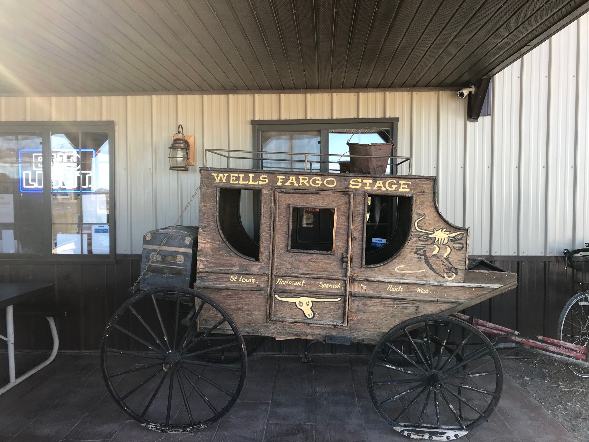
We arrived in bustling Beaver, Utah. The newer part of town, with its many services lying close to the interstate, is reached first. Our hotel for the evening was called the Best Western Butch Cassidy Inn and was located in the older part of town. It was a bit quieter there and most everything was closed because it was Sunday, in the Church of Latter Day Saints Country, after all. John suggested fast food for dinner, mainly because we hadn't seen much of it since the trip had begun. So, we backtracked to a Burger King near the highway. It was very busy, understaffed, and anticlimactic... at least for me. I've enjoyed the local restaurants and the self-prepared meals on this trip but sometimes, you simply go with the flow.

| Heart | 0 | Comment | 0 | Link |
Despite the cold start, the relentless sun burned my nose and lips on this day. I was glad to be in a real town where I was able to purchase some stronger sunblock. The expiration date on the stuff I was carrying had passed, which I could have predicted without looking because it had been in my panniers for a long time. It simply wasn't working very well anymore on this trip. The new stuff worked well and got me through the remainder of the trip.
Some laundry needed to be done that evening because it was the one task I didn't get done in Red Canyon Village on our day off. Walking to the laundromat, I saw a group of women in homespun long dresses meeting in the front room of a building that was across the street. A group of Latter Day Saints Auxiliaries? Since there was nobody around to ask, I suppose I'll never know.
A friendly young fellow in the laundromat was living in a nearby hotel. His occupation was climbing on top of the tall windmills and performing maintenance on them. A couple of his photos showed his legs dangling from a dizzying height while he was tethered to the structure. He probably doesn't need coffee in the morning while doing that job! When I ran out of coins, he gave me a couple of quarters to use in the dryer and wouldn't take any paper money back to repay him. Very nice young man. I enjoyed conversing with him.
Today's ride: 56 miles (90 km)
Total: 476 miles (766 km)
| Rate this entry's writing | Heart | 0 |
| Comment on this entry | Comment | 0 |