December 20, 2022
Adelaida
It’s significantly warmer, a toasty 36F/2C when I get up and first check the weather this morning. A sunny day is on tap, one warming up enough so that we can start riding by about 11:30. Fifteen minutes later Rachael is up, checks the weather herself, and moans that it’s foggy again. Somewhere over the past few minutes a dense fog rolled in and looks now like it’s going to hang around for the next three or four hours.
For the next few hours we sit around waiting for the fog to lift and discussing what to do with our day. Options include a ride out to Hog Canyon, driving east to the San Andreas fault line and biking north along it to Parkfield or south on Bitterwater Road, or a ride into the hills west of town up to Adelaida. All three are good options as far as I’m concerned, but Rachael’s not enthusiastic about the Adelaida ride.
In the end, she decides this is a good day for her to take a walk. She’s been complaining about a sore left arm for the last several days and thinks it might help to have a day off from holding her weight up on the bike. I help her with finding a walking route, which surprisingly isn’t the easiest thing to do in Paso Robles; and by late afternoon she’ll return to the house 13.5 miles later, rushing to make it back before dark. When she complains about being sore from the walk I remind her that she really doesn’t have to push herself that hard - but at least it gives her something different to complain about than her sore arm.
We’d show you some photos from her long walk, but there are none to show because she didn’t have time to stop for any.
I’ve got a few to show though, from my ride to Adelaida. The ride begins with a climb west up Peachy Canyon, regarded as one of the best rides starting from Paso Robles. It’s generally uphill for the first five miles before finally summiting about a thousand feet above town. I’m about two miles into it before I realize that somehow I’ve forgotten my helmet - too late to go back for it now, but it leaves me feeling exposed for the rest of the day.

| Heart | 3 | Comment | 0 | Link |

| Heart | 2 | Comment | 0 | Link |

| Heart | 1 | Comment | 0 | Link |
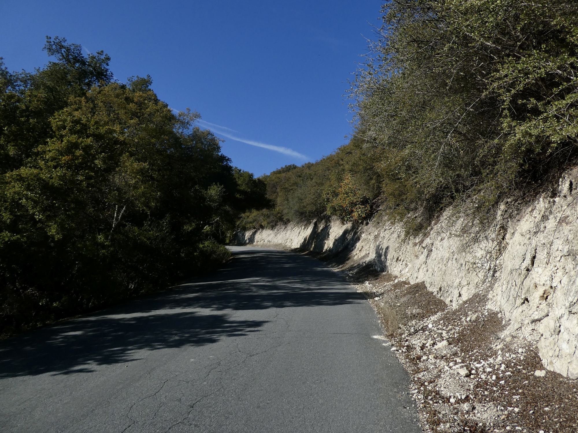
Eventually I top out, the terrain opens up, and I enjoy a rolling ride for the rest of the way to Adelaida, alternately biking past one vineyard after another and through live oak woods. Views are better but nothing like the dramatic vistas I’d been anticipating, thinking back to the stunning drive across Highway 46 from the coast. It’s just not high enough up here, with the crest of the Santa Lucia range still another mile or so to the west and another 500 feet higher. A very pleasant ride, but I’m more drawn to the open range country on the other side of the Salinas Valley. Just too many view blockers, some might complain.


| Heart | 2 | Comment | 0 | Link |

| Heart | 2 | Comment | 0 | Link |

| Heart | 2 | Comment | 0 | Link |

Adelaida is the primary destination for this loop. I have no idea what’s actually out here, but optimistically envision it as a good spot to stop for lunch and look around at interesting vintage houses, barns and artifacts. It’s not like that though, and in fact there’s no there there in Adelaida now. I only spot exactly one house that looks like it has been around since the town’s heyday.

| Heart | 3 | Comment | 0 | Link |

| Heart | 1 | Comment | 0 | Link |

| Heart | 0 | Comment | 1 | Link |
1 year ago


| Heart | 2 | Comment | 0 | Link |
From Adelaida it’s mostly downhill for the fifteen mile ride back to the Salinas River. The first half of this distance, dropping down Chimney Rock Road, is outstanding - the best part of the loop in my opinion, but it helps that it’s all downhill. After that though Chimney Rock ends at Naciemento Drive, a road that surprises me by how busy it is. Other than Lake Naciemento I can’t see what’s up there in those hills that results in all this racing traffic, but it makes for an unpleasant and stressful ride back to town - particularly since I’m not wearing a helmet and feel more exposed because of it. Fortunately there’s a generous shoulder most of the way, and fortunately also I’m getting out before it’s any later in the day. The sun is just dropping behind the hills when I reach Vine Street in downtown Paso Robles and turn off toward home.


| Heart | 6 | Comment | 0 | Link |


| Heart | 3 | Comment | 0 | Link |

| Heart | 3 | Comment | 0 | Link |
Ride stats today: 33 miles, 3,100’; for the tour: 176 Miles, 10,000’
Today's ride: 33 miles (53 km)
Total: 176 miles (283 km)
| Rate this entry's writing | Heart | 6 |
| Comment on this entry | Comment | 5 |
1 year ago
1 year ago
1 year ago
1 year ago
I’m going to try to work in more walking. It is woeful that an hour hike is my limit! Go, Rachael!
1 year ago