August 31, 2017
Usti nad Labem
What a great day! It shows what a couple of days off will do. Especially for the saddle areas! It felt like I hadn't ridden in days, which made today's ride that much more fun!
But it was also a bizarre day, but I didn't realize how bizarre until I checked into my hotel. Happy and Jerry started close to 9:00, but I was delayed till 10:00. Still, on my arrival at the hotel at 4:30 (after a leisurely pace down the Labe River), I expected them to have arrived already. Nope. I was the first check-in! Where the hell were they?
| Heart | 0 | Comment | 0 | Link |
To backtrack a bit, there was no reason for them to be an hour ahead of me per se. But Jerry was keen to leave early, as it was a long day (53 miles) with a lot of climbing (3000 feet projected) and thunderstorms predicted! I planned to follow within 30 minutes or so. Which I was on track to do. Except when I went to load my route, my Garmin would not calculate it through and kept giving me error messages! I even tried to load the entire leg for the Czech Republic, not just the day's ride, and still got an error message!
So I had to figure out what to do. Fortunately, I have the RWGPS app so I can track my progress there using the "Show My Location" feature. But I didn't want to use my phone for navigation since I have no handlebar mount and the battery would certainly not last 53 miles. The phone is better used as a phone after all!
So I finally settled on loading the day's course on the Garmin but not "riding" it, bypassing the calculation step. So after the course loaded, rather than hit the "Ride" button, I instead pulled up the map and zoomed in on my location, and voila, there was the course and a marker indicating my location. And this worked great with the only caveat being that as you ride off the screen, you need to reposition the map so that the marker showing your location is near the bottom and to the right or left, depending on your course (I ride using course-ahead orientation). That was easy enough, and I learned pretty quickly to just position the map at the next turn and watch for my marker to appear. It worked. There is always a solution!

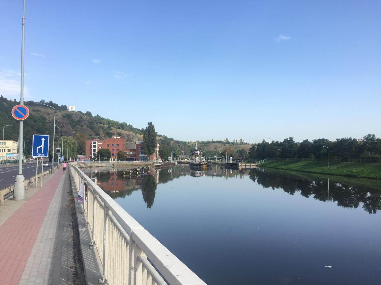
So I pedaled out of town close to 10:00 AM. I figured I am way (I mean waaaay) behind the boys; they have an hour on me already! But I am in no rush. Enjoy the day! It was coolish, and I wanted to enjoy my exit from the city. And I did, without incident. Until I crossed the river and became more focused on the course.
First off, there was major construction on the tram line on the far side of the bridge. Second, navigating the course across the main arterial on the far side of the river wasn't easy. My location per RWGPS was not exact enough to help me correlate it with the course in an urban environment where there are many choices, so I will admit to a certain amount of confusion. After getting through the construction zone and crossing the highway, the course showed me going up a rather dramatic staircase! That was not going to work, and I finally settled on a steep bike trail that more or less took me where I wanted to be.

| Heart | 0 | Comment | 0 | Link |

| Heart | 0 | Comment | 0 | Link |
But in retrospect, I think that was the better route, as after that, it was easy cycling. At the top of the climb, it was mostly a residential neighborhood with little traffic (a tunnel below me carried all the traffic into the city). And the further from the city one got, the route choices diminished, making the course on my Garmin or RWGPS easier to follow. So now, it was downhill to the river and the adjacent bike trail. I had texted the boys to give them an update on my status but had received no response. Busy riding, I assumed. So I carried on (more on that later)!
And carry on I did. After the confusion at the end of the bridge, I had one more minor construction detour that I walked through, and then I was on the river trail along the Vltava.

| Heart | 0 | Comment | 0 | Link |
| Heart | 0 | Comment | 0 | Link |

| Heart | 0 | Comment | 0 | Link |
Unfortunately, at MP 4.5, the river trail disappeared, and I was forced to ride in the travel lane. But that was fine, and traffic behaved itself as I approached Roztoky, where I knew we turned away from the river and followed a switchback up to the plateau beyond. I approached it with caution. Traffic was not too heavy, but this switchback was carved right out of the hillside and had steep sidewalls on either side and tight corners, which meant limited sight distance. I didn't need a lot of sight distance, but I wanted my fellow road users driving automobiles to have as much opportunity to see me as possible, as there were no shoulders to ride on!

| Heart | 0 | Comment | 0 | Link |
So I started the three-mile climb up away from the Vltava. I quickly made it through the switchback. It was easier than I thought, or maybe I just felt good after two days of rest. After the switchback, it became a long, straight, but steady climb up to the top. At the crest, I turned north and enjoyed about 10 miles of relatively easy riding through delightful countryside and smallish villages. It was pretty easy riding.
That was until I had to merge onto Route 608, a two-lane arterial with no shoulder. Fortunately, traffic was not too bad, but I had to ride this road for 15 miles! Generally cars and trucks would change lanes to pass, and the grades were easy on such a major road, but it wasn't the best experience. But later I went back and reviewed the mapping and saw that there really was no alternative, not on this side of the river at least.
And still no word from the boys. What was going on? Maybe I should have overtaken them by now, but they were nowhere in sight. Maybe I had passed them at lunch, but I checked out the few opportunities as I passed to no avail. Where were they? Up ahead, I assumed.
While I made a few wrong turns along the way, my "navigation system" was working well even without the turn-by-turn directions. And it was pretty flat riding with only slight grades on 608. So after 15 miles, I (thankfully) turned off that route and started on local roads to Litoměřice, a cute town on the Labe. It was a pleasure to be off the main highway, and in retrospect, I would have gladly added miles to avoid it.


| Heart | 0 | Comment | 0 | Link |
In Litoměřice, I stopped for water and ate a banana, my first food since leaving Prague. I was at MP 42; eleven miles to go with one big climb. And it started right there in Litoměřice. Gradual at first but then steeper. It looked worse in the profile than in person. Three miles and it was done, with some nice views of the valley behind. Maximum grade was 10%, but the average was closer to 5%-6%.

| Heart | 0 | Comment | 0 | Link |

| Heart | 0 | Comment | 0 | Link |
Then the great descent to the other side! Sweet. During the climb, the rain came, so I stopped and donned my rain jacket. But it turned out to be only a sprinkle. Still, I left it on for the descent and the ride to the hotel, both for visibility and in case it (the rain) came back at me harder. Plus, the overcast skies had made it a tad cooler, so a little more warmth was welcome.
The descent took me back to the Labe and a very pleasant 5.5-mile ride along the river to Ústí nad Labem. While my course was along the river road, a somewhat busy highway, I discovered a trail along the shoreline and opted to follow it. Good choice, as it took me directly to my river crossing . . . and my hotel.


| Heart | 0 | Comment | 0 | Link |


| Heart | 0 | Comment | 0 | Link |


I arrived only to find I was the first to arrive. I couldn't fathom how this could be, and all sorts of scenarios ran through my head, including the worst ones. I arrived at 4:30, and finally, Happy and Jerry arrived at 6:00!
As it turned out, they had responded to my text messages, but I had never received them. Further, while looking for lunch on that bleak highway (608), they had gotten lost, adding about 7 miles to their course! And they were caught in a downpour . . . which I never saw . . . and had waited that out in a bus shelter.
Well, it all ended well with beer and a great meal. Our hotel had both!


| Heart | 0 | Comment | 0 | Link |
In short, I had the most awesome dinner, but not meant for the weak of heart. Fortunately, my heart is strong! Pork ribs with the best bread I've had since entering the Czech Republic, soaking up the juices like a sponge. Clearly we are close to Germany! That and an out-of-this-world bean soup and four helpings of an award-winning amber beer, all for $23 plus a generous 5% tip (by Czech standards). I am, literally, in pig heaven.
Today's ride: 54 miles (87 km)
Total: 1,644 miles (2,646 km)
| Rate this entry's writing | Heart | 0 |
| Comment on this entry | Comment | 0 |