June 5, 2025
Peninsula State Park, WI to Potawatomi State Park, WI
Day 8 - Thursday
I woke up early again at 4:30 a.m. as it is already starting to get light and the birds think it's morning. At 5 a.m. I walked over to the toilets, as by then it's to light to just pee behind my tent.
I managed to get back to sleep and woke again at 7 a.m. By 7:30 a.m. it was time to get up. As I wandered back down to the toilet block I found an electric site that was empty so left my phone plugged in there.
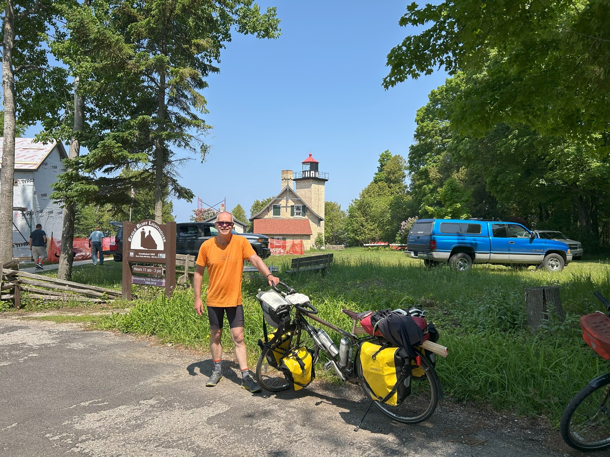
Breakfast was oatmeal and I had time to make coffee again this morning. We were in no hurry as the Eagle Bluff Lighthouse wouldn't open until 11 a.m. and it was in the same state park.
Meanwhile I worked on the journal. I admire those that keep their journals up to date on the road. I never seem to have enough time to do that.
Cameron finally emerged and we packed up and left the campsite at 10 a.m. riding directly across the park to Eagle Tower.

You probably wonder why I take so many photos of the toilet blocks at campgrounds. I usually take a photo just as we are about to leave so I have a record of the time we left from the photo time stamp.
Eagle Tower was impressive with great views of Lake Michigan. We climbed the stairs then found if you walk the whole think it slowly ramps back down to ground level.


From Eagle Tower we followed the coastal road around to Nicolet Beach where there is also a campground.
As it was a nice day I suggested to Cameron we stop here for the day and grab a campsite for tonight and relax on the beach for the day. He said he wanted to spend our spare day at the end of the trip so we moved on.
We camped at Tennison Bay campground last night as the check in lady suggested it was the closet to the main gate, but if I had known I would have camped at Nicolet Beach and we could have at least spent a few hours here this morning.


From Nicolet Beach we continued around the peninsula with one more stop before the lighthouse at Eagle Bluff where there was yet another campground nestled back in the woods, Welcker's Point campground.

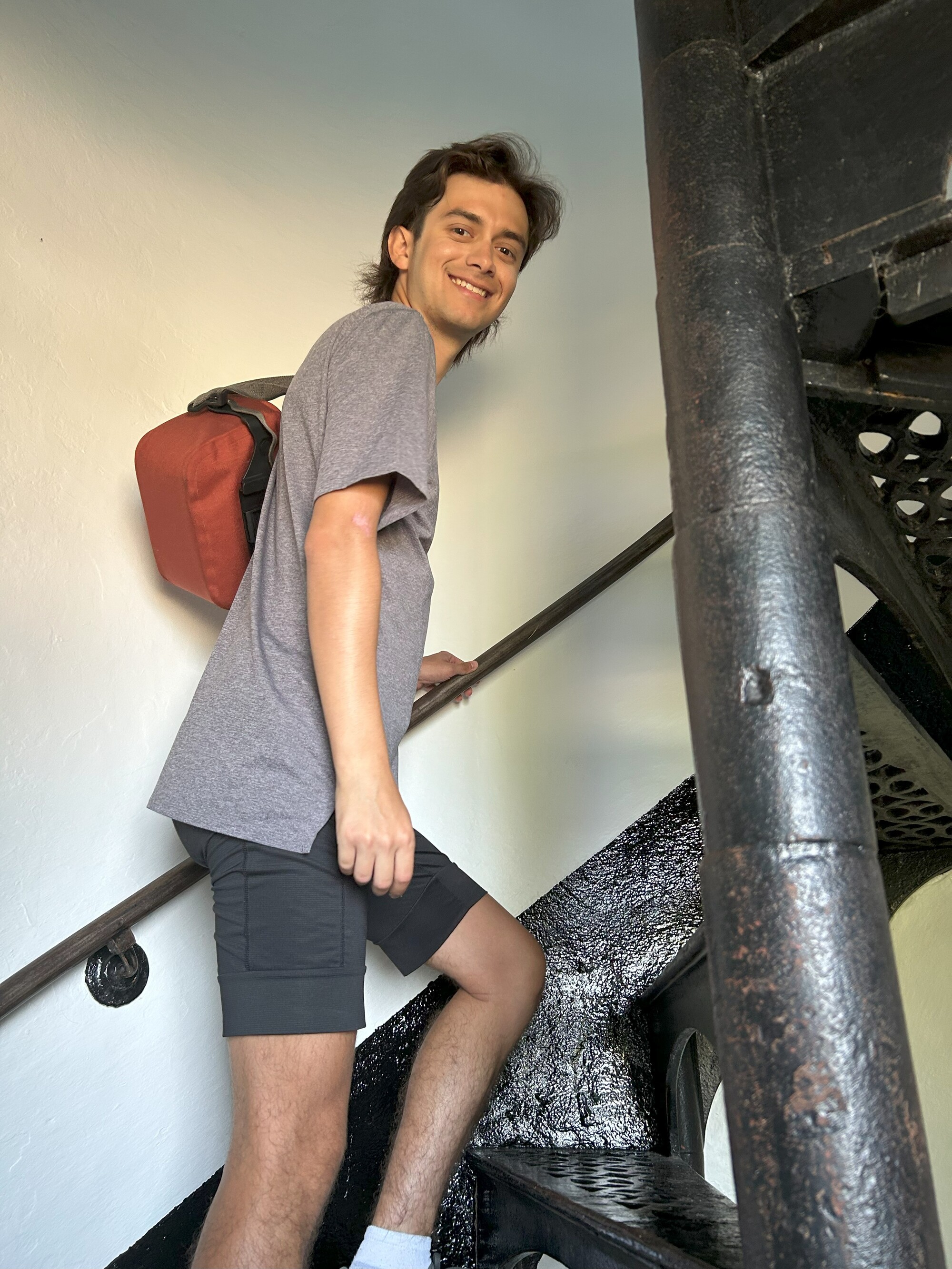
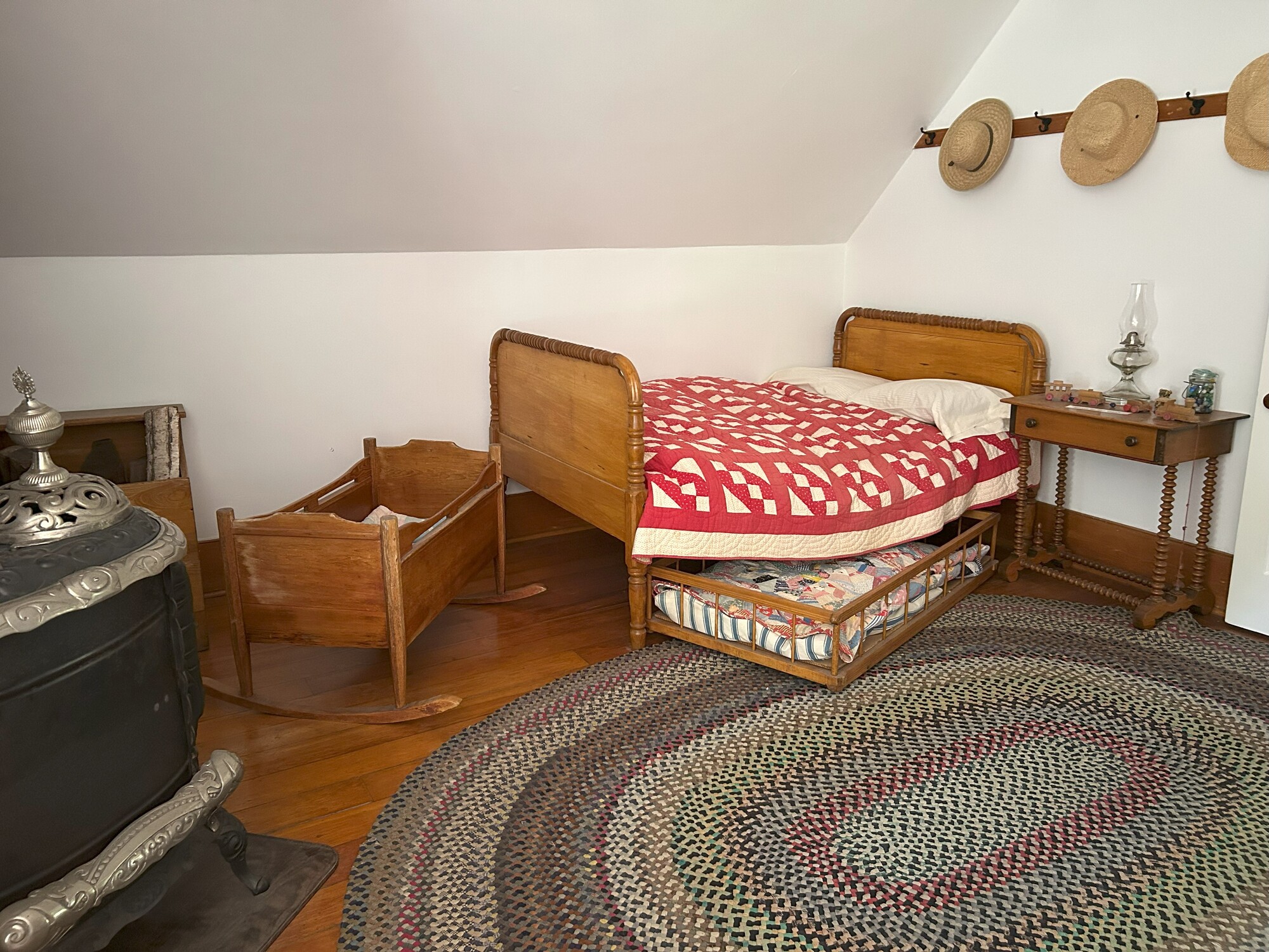
Eagle Bluff Lighthouse was already open when we arrived. We walked around and took some outside shots, then paid our $6 admission for an inside tour of the house and tower.
| Heart | 0 | Comment | 0 | Link |


| Heart | 0 | Comment | 0 | Link |
| Heart | 0 | Comment | 0 | Link |


Leaving the lighthouse and park we took the Sunset trail.

Just outside the state park was the town of Fish Creek.

We parked our bikes out the back of the Fish Creek Market, but looking around inside we didn't see anything that would work for us for lunch.
Moving on there was a steep hill to climb as we left town on Hwy 42. I routed us off Hwy 42 to a parallel route on Gibraltar Bluff Road but this ended and we were back on the highway. This route in hindsight probably didn't achieve much but some more hill climbing.
Further along at the small town of Juddville we once again left the Hwy 42 to hug the coast, which in turn lead us to Egg Harbor.
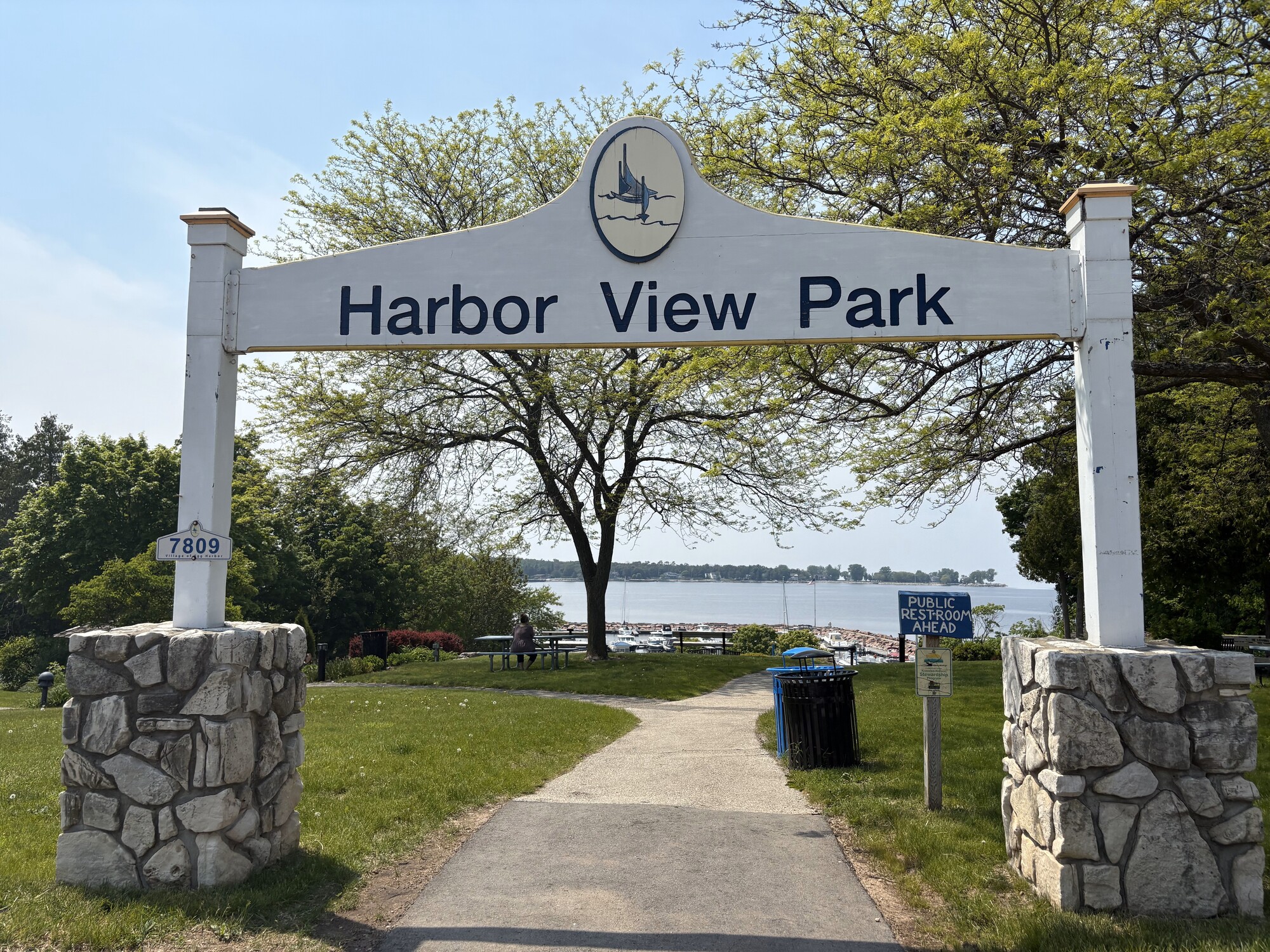
We stopped here for lunch at Harbor View Park and as luck would have it found some power plugs that were available to juice our phones.
Egg Harbor seemed a nice little town that sported two coffee shops, a distillery and two brew pubs. You would never want of a drink there.
| Heart | 0 | Comment | 0 | Link |

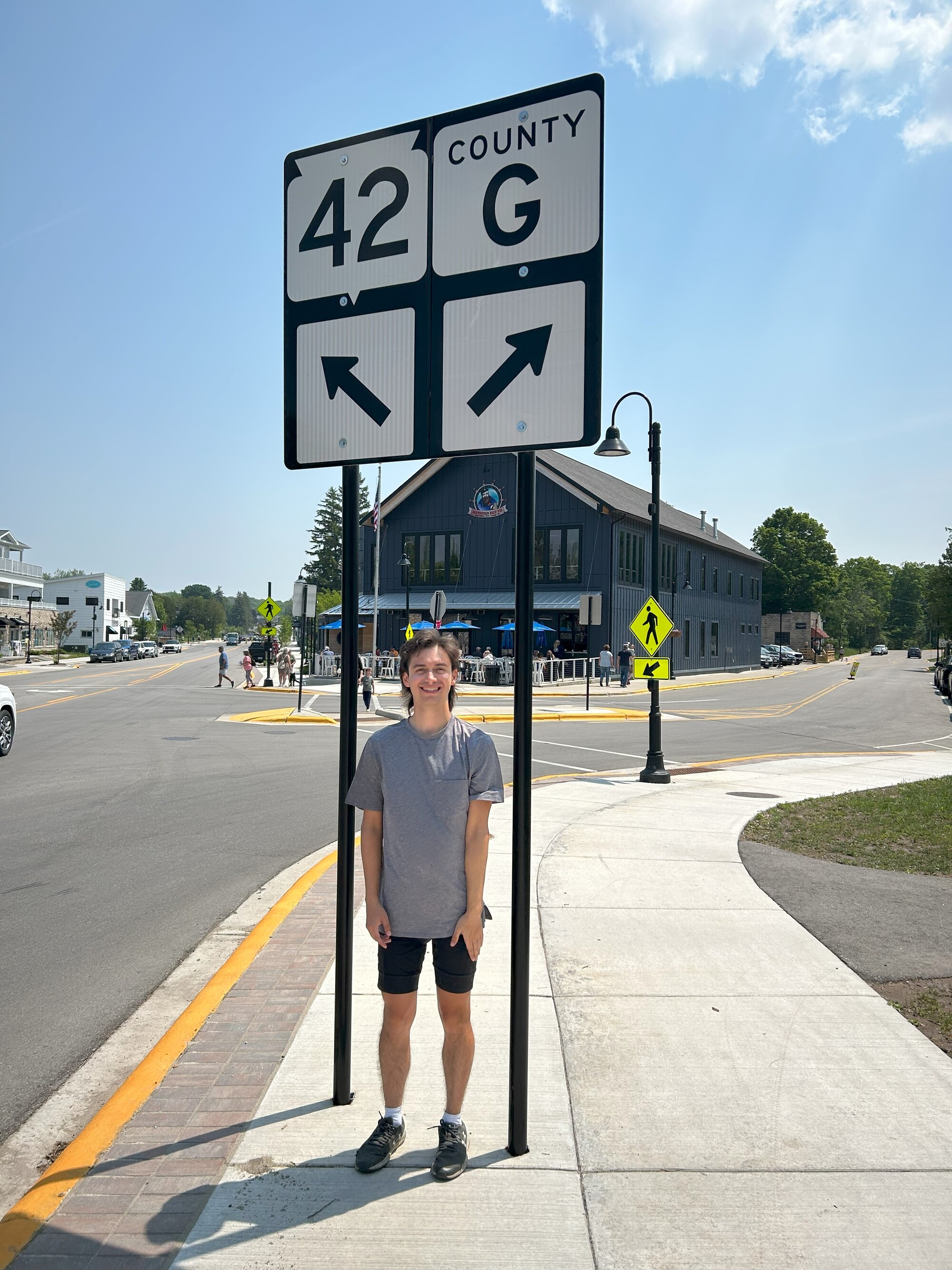
As we were leaving, there was a heated discussion regarding where we could get Gatorades. It ended with me telling Cameron he needed to take charge and decide where we go and then me getting mad and riding off down County Road G (Horseshoe Bar Road) our intended route, when we should have diverted onto the 42 and looked for some shops.
Consequently we rode in silence for the next hour.
| Heart | 0 | Comment | 0 | Link |
Further down on Bay Shore Road we were back on speaking terms, enjoying the ride beside the shore and stopped for a quick break at the George K. Pinney County Park Marina.

Arriving in Sturgeon Bay we ran into a road closure on Nth 3rd Avenue but at the same time they looked to be building a bike path so we diverted to the path. It was gravel and soft in places then it to stopped abruptly as they hadn't finished. By then we were in Sunset park so we rode on the grass until we could get back on to where 3rd Avenue was open again.
In downtown Sturgeon Bay, the local ship building factory was just getting off work so traffic was heavy until we cleared Michigan Street, then we turned and crossed the Sturgeon Canal on the Oregon Street bridge.
Incidentally, Sturgeon Bay also has the following northeast / southwest streets, Kentucky, Louisiana, Nebraska and Pennsylvania. The street grid goes from the canal up to 5th Avenue then turns 30 degrees to run east and west.
There were other states represented further out from the downtown, AL, DE, FL, GA, RI, IA, TX and UT. There was also a Jefferson Street but no other presidents and then there was Quincy Street. John Quincy Adams perhaps, who knows.
Once safely across the canal on the nice and wide bike lane we dropped down to the Door County Maritime Museum. This was the lighthouse stamp mecca where I picked up a total of 10 stamps.
Unfortunately as it was close to 4 p.m., they advised that a visit through the museum would normally run 2 to 3 hours and I would be wasting my money going in. We put this on the list for another day.

Outside again walking along the waterfront we watched a freighter run through the canal where both the Michigan and Oregon bridges were open.
The freighter's length almost run the distance between the two bridges.


I almost forgot while leaving the museum area that on the grounds was the old Dunlop Reef Light Tower, so we back tracked and found it near the road.
The original wooden lighthouse (minus the tower) we had visited earlier in the week on 4th Avenue, Sturgeon Bay.
Somewhere on the grounds was a small wooden replica of that lighthouse but I never saw it.


The closest grocery store was a Target so we headed over there to restock, but they didn't have produce or meat so decided to just have McDonalds.
We entered Potawatomi State Park via a back way so we had to cycle back out to the main gate but this did save us some miles. The office was closed on arrival so we called the 1-800 number to book our site.
It was after 6 p.m. when we arrived at our campsite and immediately we needed mosquito repellant.


After setting up we walked across the road down to the bay. Here I picked up a rock, adding to my rock collection from each of my tours. This rock was shaped similar to Wisconsin.


Later as we we were walking back from our showers (minus the mosquito repellant), I was attacked a number of times before getting into my tent. Mainly on my uncovered head.
Today's ride: 44 miles (71 km)
Total: 339 miles (546 km)
| Rate this entry's writing | Heart | 1 |
| Comment on this entry | Comment | 0 |