August 18, 2016
Grimselpass to Brig
Hmmmm, mixed day today. Weather predictions were iffy (when are they not, particularly in the mountains?), and I had not slept well. That would not normally be a problem. It was all downhill to Brig . . . mostly.
| Heart | 0 | Comment | 0 | Link |
But we still had to do the final switchback before the great descent. And with no warmup! OK, we had an easy 0.7 miles before the grade started up. But after that, in 2.2 miles (or so), we climbed about 800 feet. That's about a 7% grade. Not bad, but it was continuous, and I really need my warmup when I start . . . and my sleep! So I suffered up the hill. Mark was way ahead of me as I stopped to catch my breath at every switchback turn.

| Heart | 1 | Comment | 0 | Link |

| Heart | 0 | Comment | 0 | Link |

| Heart | 0 | Comment | 0 | Link |


| Heart | 0 | Comment | 0 | Link |
That out of the way, we stopped for hot chocolate. It was cold and windy at the tip-top. We put on our rain jackets for additional warmth (and this was on top of a long-sleeve base layer and short-sleeve summer jersey I was already wearing) and started down.

| Heart | 1 | Comment | 0 | Link |

| Heart | 0 | Comment | 0 | Link |


| Heart | 0 | Comment | 0 | Link |
Lots of fun! Well, I'm not a daredevil on descents, so I kept my speed to around 20 mph. And at the switchback turns, I took it much slower. We stopped occasionally to take pics and let traffic pass. No rain yet, but the clouds were building.
It was probably in the low 50s when we started to climb, and, of course, we really did not notice it given the work we were doing. But on the descent, between the temperature, cloud cover, and wind (natural and man-made), we could feel the temperature with some alacrity. But it warmed as we descended. Two degrees per Mark. I thought a bit more.
We bottomed out in Oberwald and left the mainline road to join a bike trail wide enough to be a road. Maybe it was. We followed it for quite a ways, four or five miles, before rejoining the main highway down the valley, Swiss Route 9. Sometime during this section it started to rain. Rain that would stay with us, on and off, the rest of the ride. Never heavy, so it wasn't a big deal, but rain nonetheless. But better today than tomorrow.


We were on Swiss Route 9 for only a short while before going off it again. Traffic improved the further down the valley we went; they had been a bit aggressive on the descent. Impatient or overconfident Swiss.
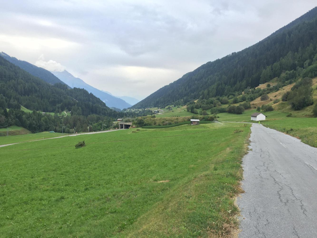
And it continued mostly downhill with only the occasional climb before heading down again. And, surprisingly, there were four tunnels to navigate. The first and second were at the top of the valley, and we bypassed them by default by being on the bike trail by the river. The second was extremely long, but we only spied it from a distance. The third we took without any issues. We were routed to bypass it but didn't see the need once we were there. We could see through its length, and only one car passed us going the other way. The fourth tunnel at MP 22 that we bypassed as well, which allowed us to bike through the village of Niederwald.
| Heart | 0 | Comment | 0 | Link |
These tunnels were more like avalanche shelters. They had almost no cover; there was no mountain above them per se. But I could see where snow could accumulate further up the slope and block the road if an avalanche did occur.


| Heart | 0 | Comment | 0 | Link |
After Niederwald, we returned to the mainline. That was about the last of the rolling terrain, such as it was. From there it was all downhill, but the pace of descent picked up. And we dropped a lot. Reversing this and climbing the valley as far as Grimselpass or Furkapass looks to be a several-day adventure and a real workout. But all told, we only dropped 5400 feet or so for the day. It could be that some ascents are easy but actually look harder and steeper when going down them. Biking is 50% psychological, I say.

| Heart | 0 | Comment | 0 | Link |
After about MP 30, traffic began picking up again. We were closing in on Brig. Also, it seemed to become very industrial. But then, this part of the valley is tight and narrow; not much farming here. In fact, one section we passed through was almost a gorge with very steep sides. We arrived in Brig close to 3:00 PM. Nice town with a historic center that we dined in later that night. Tomorrow, Simplonpass, our last day in Switzerland.

Today's ride: 37 miles (60 km)
Total: 724 miles (1,165 km)
| Rate this entry's writing | Heart | 1 |
| Comment on this entry | Comment | 0 |