February 24, 2019
Planning
Sometime before each tour it occurs to us that we should get brave and head out with just a couple of maps in our pocket (maybe) and only a general idea of where we might go. This sentiment usually lasts about 60 seconds, before we are overcome by images of folding and unfolding those maps in the wind and rain, while finding that we have pedaled into the middle of nowhere with night coming and no place to stay. So that's when we settle in for what is usually ten days of intensive planning.
The process for us is quite well established by now. First we just imagine the general outline of a trip. Even there, we can not claim to be very adventurous. We will always have just come off reading a blog from some other adventurer, usually Trish Graham, Kathleen Classen, Scott Anderson, or other intrepid Cycleblaze blogger, and just more or less trail them around. Well, it's not quite that bad. For any given continent, let's say the "community" pretty well knows the interesting routes.
But the devil is in the details, and we are soon deep into them. For us, even more than for the others, we want to follow named routes. And whether named or not, we want to set off with GPS tracks in hand for the whole thing. Just how we actually approach getting that is revealed in the coming page "Tricks With Tracks".
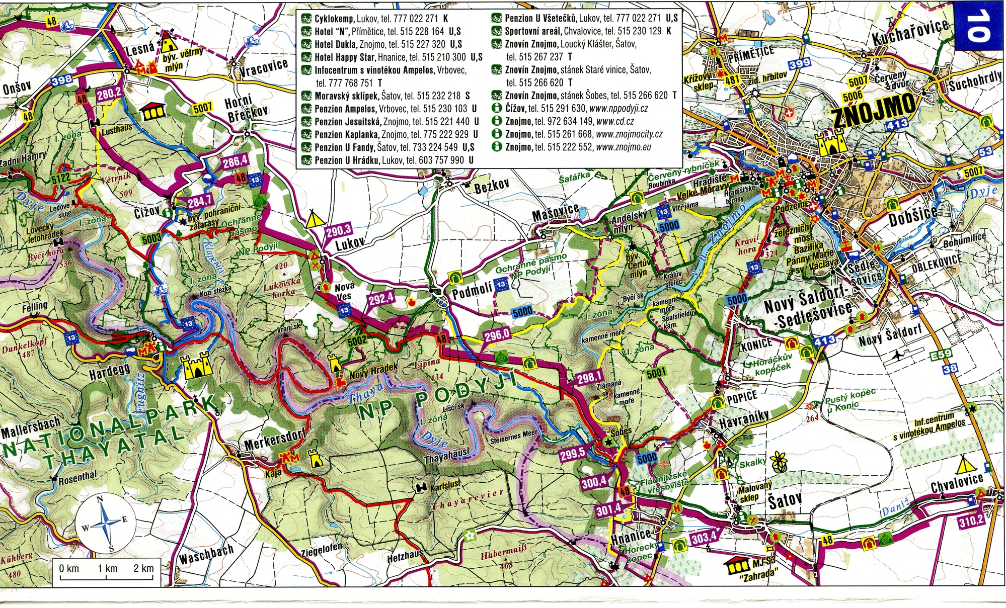
As far as paper maps go, we like to get our hands on dedicated cycle maps. The best are the Bikeline series from publisher Esterbauer. These mainly address Germany, but many other European countries (plus New Zealand) are handled as well. There are probably a couple of hundred of these books, costing about $20 each. We currently own about 40. Similar books are put out by other companies too. These are mainly French. Then there are dedicated cycling maps, such as the series from the German national cycle club, ADFC, and finally road maps, assuming the scale is big enough.
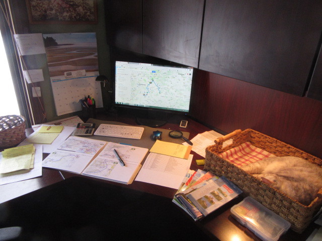
Once we have the paper maps for the route, we scan them. Then we resize and print them, four panels to the two sides of 8.5 x 11 paper. Folded, these fit nicely in our handlebar map case. If there was no paper map for a part of the route, then we will reluctantly resort to printing screen captures. These always turn out barely legible and we hate them.
Our quest for maps can get quite intense. When we learned that the Nicholsons in Kamloops (big cyclists but not bloggers) had a map of the Vienna to Prague Greenway, we asked them to mail it to us. It's about all there is for this section of route, but half the time we are looking at it and need to check if it might be upside down. See what we mean?
| Heart | 2 | Comment | 0 | Link |
The photo shows some of the almost 200 map pages we ultimately print. On the screen is Google's MyMaps, which we have found to be a great boon. More on that in a later post.
| Rate this entry's writing | Heart | 9 |
| Comment on this entry | Comment | 6 |
Tricia
5 years ago
We never went the route of mounting them on the handlebars (which is more or less what we do now though with our GPS’s). Instead, I kept a map handy in my jersey pocket or on the rear rack. I would haul it out for consultation when we came to a critical juncture, and then try to remember the next three or four instructions. We stopped a lot, unfolding and recording maps dozens of times per day, and got lost more often than we would have preferred.
5 years ago
5 years ago
Yes, we have the Bikeline Elbe, which will take us beyond Dresden, where we will hit the Berlin-Leipzig, and turn south. Watch for our "The Route" post, coming soon.
5 years ago
Tricia
5 years ago
I have a GPS too, with OSM cycle maps for the area loaded, but generally only use it for navigation within towns. When I let it direct me between towns, it might me through farm tracks or up unrideable hills, when there are better alternate routes. Not only that, when Al and I are standing side by side, each with the same device and the same base map, doing a search for the same destination, we can get different results!
5 years ago