May 26, 2023
Day 23 - May 26 - St Charles, MO to Hermann, MO
Two Breweries in One Day
Ed’s Story
We woke up early at Lois’s and finished packing our bags. We had breakfast - Lois bought oatmeal. I took the remainder of the oatmeal with me; now I have plenty of oatmeal for at least three weeks.
Her friend Dave came by to say goodbye to us before we left. Both Dave and Lois took videos and pictures as we departed her house. It was a great visit.
It was cool when we left but warmed up pretty quickly. We were soon taking off our cooler weather gear.
We passed the Family Arena, on our way out of Saint Charles. The Family Arena is a multi-purpose arena in St. Charles, Missouri, built in 1999. The arena seats 9,643 for hockey, 9,755 for football, 10,467 for basketball, 6,339 for half-house concerts and up to 11,522 for end-stage concerts. Nothing was going on there as we rode by at 7:30 in the morning.


What can I say about the Katy Trail; parts are relatively smooth and other parts are very rough. We rode 72 miles in total and about 66 were on the trail.
We saw bridges and historical markers along the way. Some of them were at trailheads.


We met up with several other travelers, most of whom just crossing Missouri on the Katy Trail.
We saw quite a few bridges on the ride.


We stopped at several trailheads for a break, and had lunch at the Good News brewery in Augusta, Missouri.

| Heart | 2 | Comment | 0 | Link |

After a long day, we reached Hermann, Missouri. The city campsite is great. We are allowed to camp anywhere on the grass. We camped right next to a covered pavilion that has both electricity and water. The bathhouse is a short walk away.
There is no one using the pavilion we are camped at; only us. We have our bikes under cover. We are also using the electrical outlets to recharge our phones.


After setting up our tents and unloading our bags we headed to the Turbulence Brewery. I had a Vienna lager called Wingling…. Sounds an awful lot like Yuengling.
Beers over we headed back to the campsite to clean the dust off our bikes, especially the drivetrain and relube the chain. It was then time for a shower and dinner.
We are back on the Katy Trail tomorrow for 50 miles to Jefferson City Missouri.
Until we meet again, happy biking!
John’s Story
Thank you to Carol’s cousin Lois for hosting us at her home in Saint Charles last night. We’ve had two rest days already, one in Wheeling, West Virginia and the other in Franklin Indiana, but spending the day with Lois yesterday was way more restful than either of those days.

There’s a lot of history in Saint Charles, Missouri. It goes back at least 250 years. I wish we had time to explore a little more of it.

| Heart | 1 | Comment | 0 | Link |
There are many trail heads on the Katy Trail. Most of them look like this one in Saint Charles. Information, shade, benches toilets, water, occasionally bike tools and a bike pump.

| Heart | 5 | Comment | 0 | Link |
| Heart | 5 | Comment | 0 | Link |

| Heart | 4 | Comment | 0 | Link |


| Heart | 5 | Comment | 0 | Link |
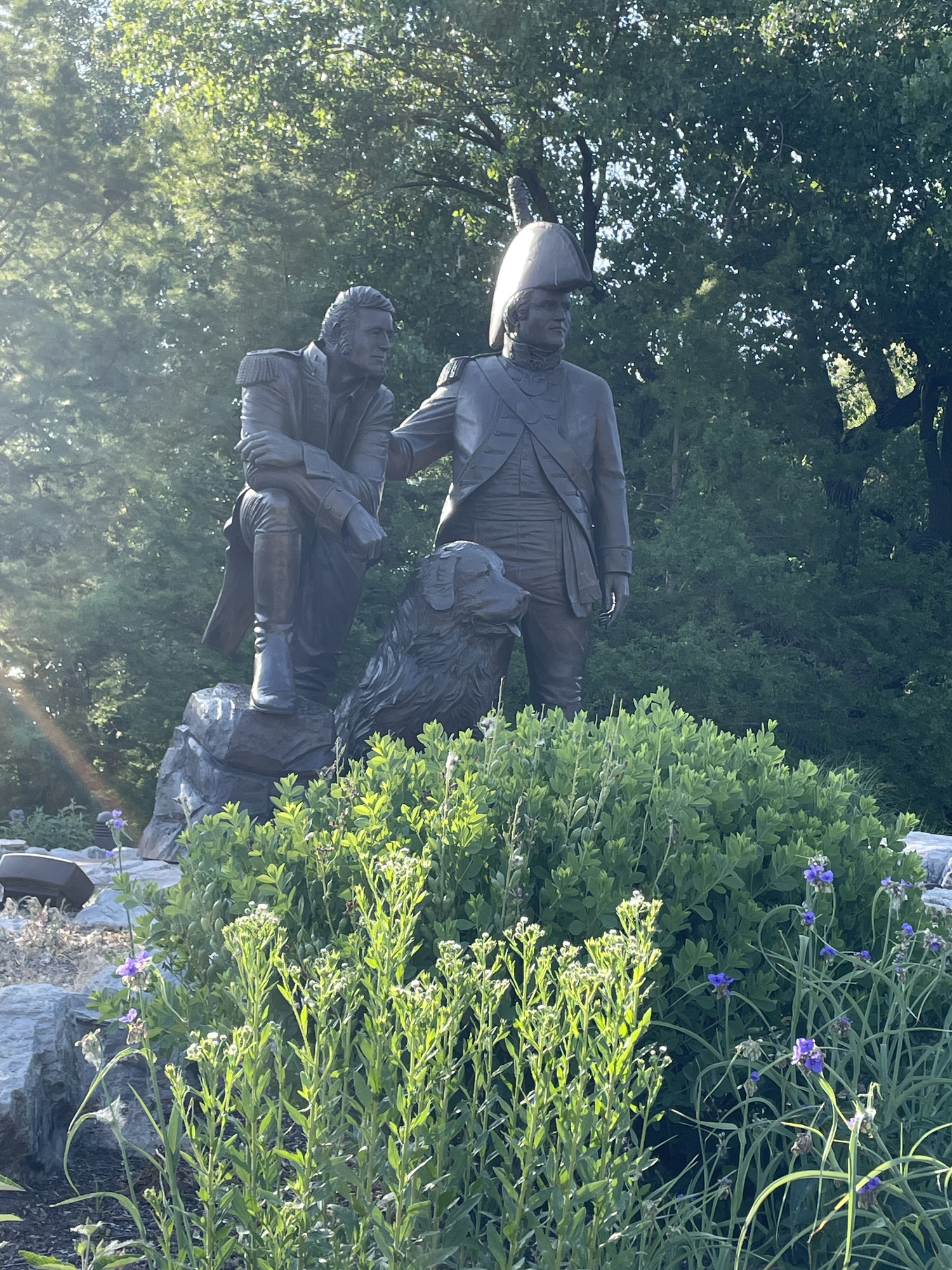
Most people associate Daniel Boone with settlement of Kentucky. But there’s a twist in his story. Because of disputes with the American government he decided to leave the country. He obtained Land grants in Spanish Louisiana (modern day Missouri in particular) and moved there with his family. In 1803 when Louis and Clark showed up preparing to make their epic journey to the Pacific Ocean and back, they informed Boone that the United States had purchased Louisiana from the French and he was now back in the country. Daniel Boone was not happy about that.

| Heart | 3 | Comment | 0 | Link |


| Heart | 3 | Comment | 0 | Link |

| Heart | 4 | Comment | 0 | Link |

| Heart | 4 | Comment | 0 | Link |

| Heart | 2 | Comment | 0 | Link |

| Heart | 4 | Comment | 2 | Link |
At Peers Store in Marthasville, Missouri, I saw jars labeled Redbud Jelly. I asked one of the women there what it was made with. Duh, redbud tree flowers. I have some redbud trees in the backyard at home; I may have to give it a shot.
I must confess that at one point today I believe I ran over a squirrel on the trail. There was a thump and a blur of fur, but when I turned around there was nothing on the trail. I’m hoping I just knocked him out of the way and did not mortally wound him. Ed pointed out that it’s illegal to harm any critters in the state park and he threatened to turn me in, but without a body I don’t think we can establish the crime. I guess this makes me a fugitive.🥸
Although it’s now dark and starting to get cold I think I’ll take a few minutes to address the Jeffersonian land grid just to point out something we see all the time and probably don’t think about.

| Heart | 5 | Comment | 0 | Link |
These are called correction lines in the Jeffersonian land grid. The Jeffersonian land grid divides most of the western 2/3 of the United States into a grid of one square mile sections arranged in 36 mi.² townships. These sections and townships are supposed to be square, with all lines intersecting at right angles. The problem is that the Earth is not flat, so when you try to draw the squares on its curved surface the lines start getting distorted. At some point the distortion is so great that corrections have to be made along certain lines so that the process can be restarted across the line. That means that a section line south (or east) of a correction line doesn’t meet with its corresponding section line north (or west) of the correction line. Many of the main roads in areas using the Jeffersonian land grid were built along section lines, so when a section line road meets a correction line, it has to jog over to meet the nearest section line road on the other side of the line. I hope this makes sense. End of geography lesson.
Today's ride: 72 miles (116 km)
Total: 2,873 miles (4,624 km)
| Rate this entry's writing | Heart | 6 |
| Comment on this entry | Comment | 3 |
2 years ago
2 years ago
2 years ago