January 11, 2018
Day 8: Coba - Ruins and Cenotes
Coba really is a small village, comprising only two streets on either side of the one that leads to the ruins. Along the main street are half a dozen or so restaurants, and a few fruit stores and little groceries. The street ends at the small Coba Lake, which nevertheless is the first actual lake we have seen. A short stretch along the lake brings you to the ruins.
I came down to the ruins yesterday to ask about the bicycles, and they were emphatic that we could not bring them onto the site. The guides yesterday morning at Tulum sanctimoniously asked us to "show some respect" for the archeological site, when kicking us out, and since Coba is run by the same national administration we rather assumed the reasons here were the same.
So when we arrived at the entrance today we were ready. We had brought just the bikes, with no lights or accessories on them, and no panniers. But we had our two heavy chains and were prepared to lock and leave them. As predicted, we were firmly shown where, outside, our bikes must be left.
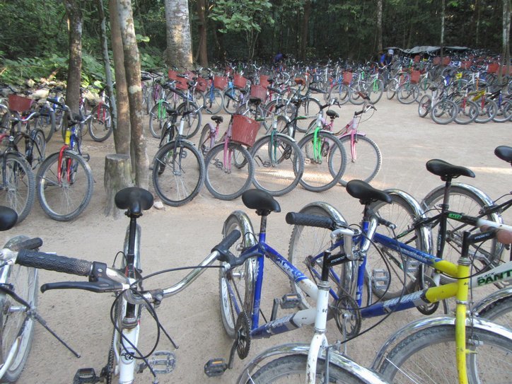
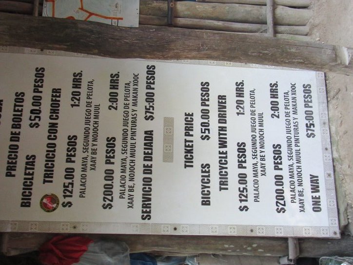
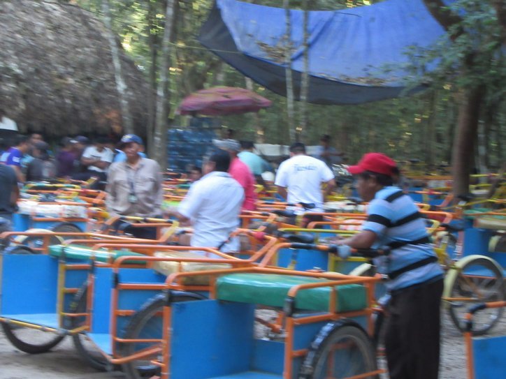
How surprised we were, then, to find inside first dozens of bicycle taxis prepared to chauffeur us to the building groups, and beyond that - hundreds of bicycles being offered for rent. So the archeological respect turned out to be no more than a money making ploy. This is a policy like what you may find on snacks in a movie theatre. These policies can be changed too - I remember outside food banned from Disneyland, but now it is permitted.
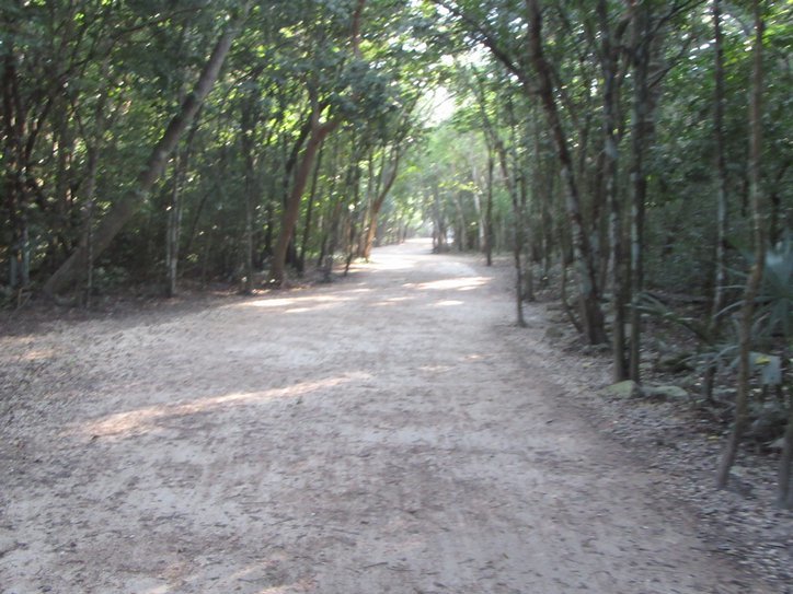
We had taken time to eat breakfast at the tiny hotel restaurant, waiting for it to open at 7. But we still arrived at the ruin site before there were too many people around. From the gate it is a 2 km stroll to the tallest pyramid, and we found ourselves walking that with almost no one else around. That made it much more atmospheric, as we passed through not dense but still interesting jungle on a broad (bicycle!) road.

| Heart | 3 | Comment | 0 | Link |
Coba is one of the largest Mayan sites, said to be 100 square kms and to have 20,000 separate structures. However most of these have not been excavated. From the point of view of two touring cyclists, now hobbling along the road on canes, and of the others in cycle taxis, seeing only a few buildings would be quite enough.
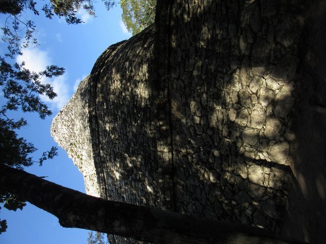
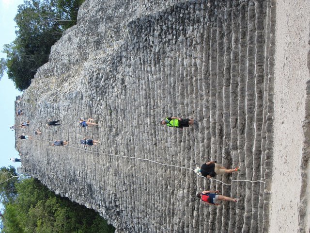
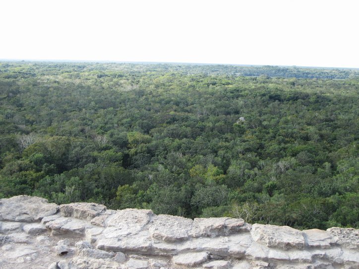
At the extreme end of the road is the tallest one, Nohoch Mul, which is the tallest Mayan pyramid ever discovered. There is a rope extended from the top to help people climb the stepped structure. Of course the steps are rough and of unequal height, so you have to be a little cautious. Looking down from top it is a trifle dizzying, but the climb is fun. Dodie left me to do it alone, since wrecked knees have no chance with this kind of thing.
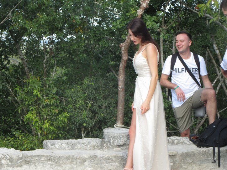
At the top a couple from Eastern Europe had just finished getting married. The lady still had on her white dress that would eventually have to go in a backpack in order for her to climb down without tripping.
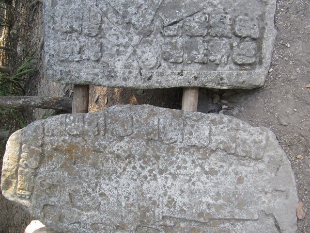
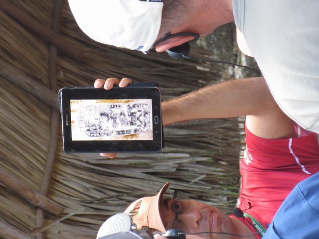
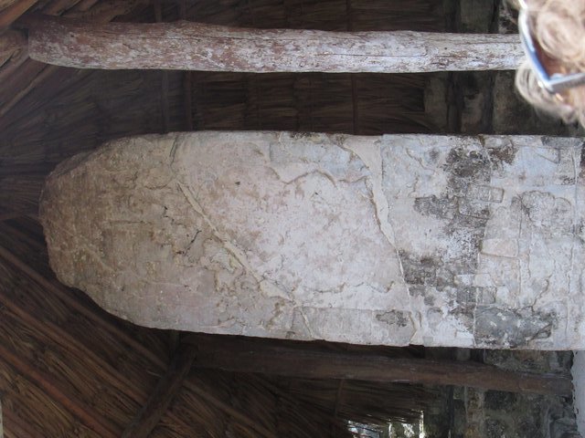
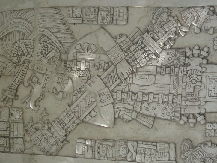
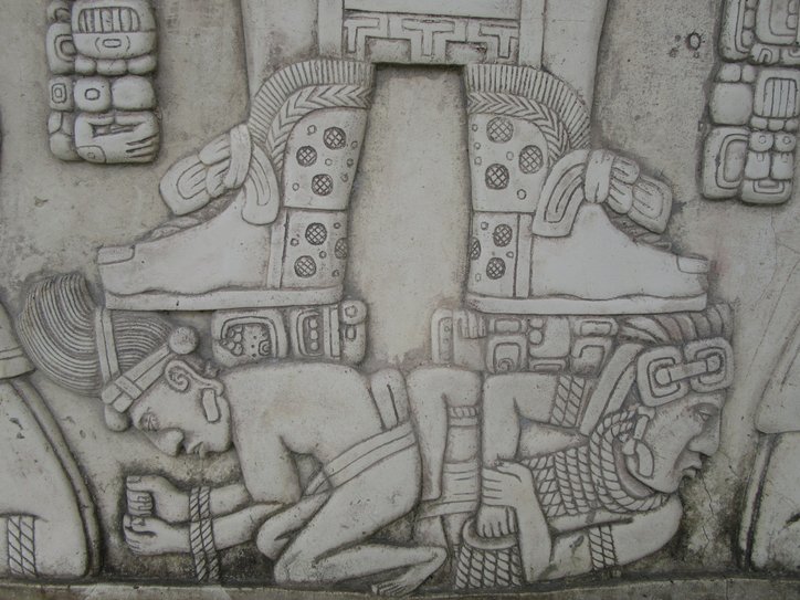
The photos below show some of the other structures we walked to. In spots there were also stellae, carved stone tablets, housed under shelters. The experts see all the carved detail of these, but just to look at them you are most likely to identify nothing. One tour guide was holding up a cell phone image of what truly was on one of the stella. Good guessing, but I couldn't see any of it on the real thing.

| Heart | 0 | Comment | 0 | Link |
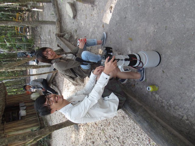
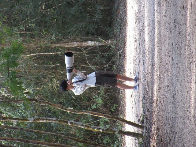
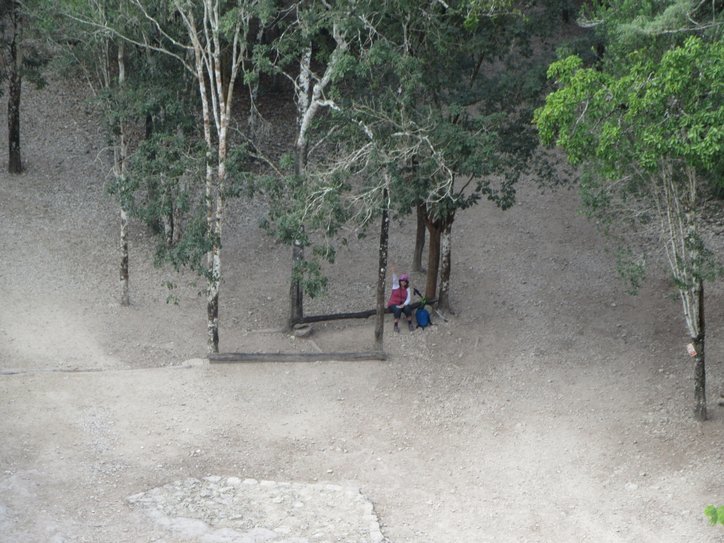
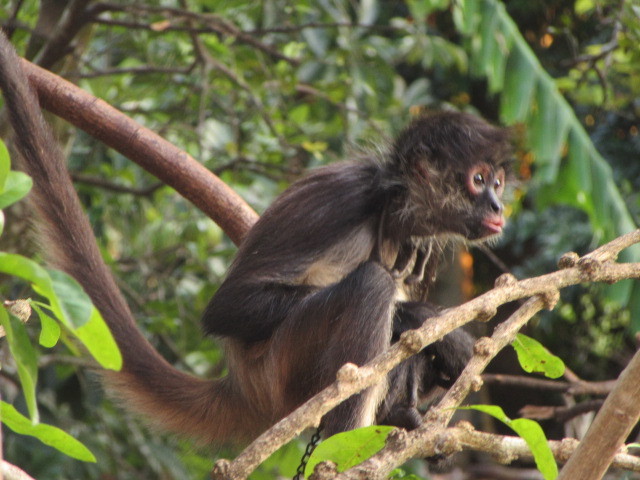
If you can't make out the actual sights, you may as well find interest among the other tourists. Two we liked a lot were a Japanese couple who had brought along a Canon camera with a truly telephoto lens. They were intent on getting photos of birds. We just thought it was cute to be interested enough in a thing to lug a 10 pound piece of equipment half way around the world.

| Heart | 2 | Comment | 2 | Link |
6 years ago
6 years ago
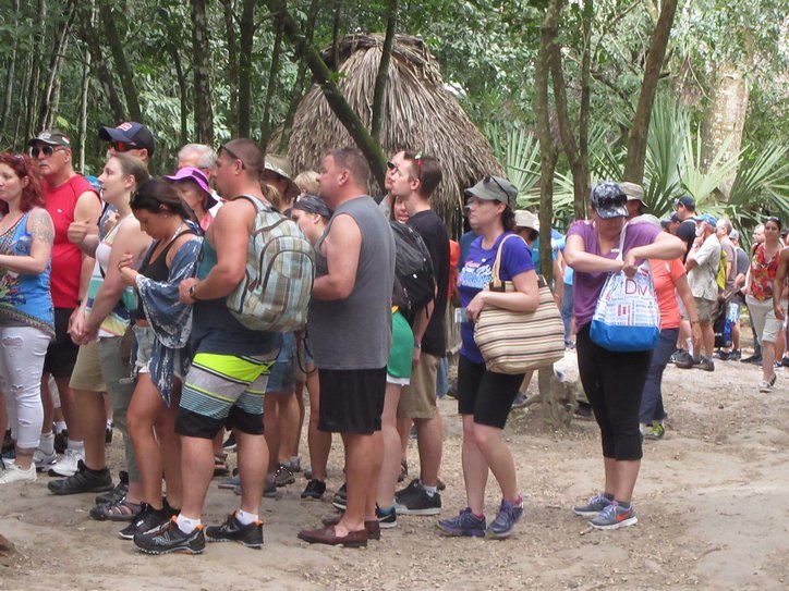
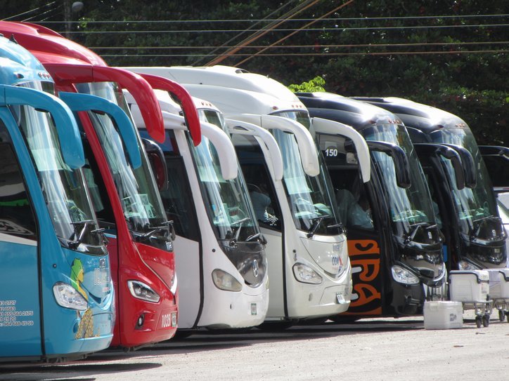
By the time we were making our way toward the exit, the main bulk of tourists had woken up and arrived, in a fleet of mini vans and maxi busses. We had read about this in guidebook advice to come early to avoid crowds. We actually do not mind other people so much, but of course too many can physically get in your way and make you queue for services.
Now at mid-day we are cycling out to find between one and three nearby cenotes. Each cenote, we are finding, has its own special character. The one we saw at Xel-Ha was open to the sky and featured a jade green colour, no doubt because of that. But today's cenotes were all deep underground. They relied on other features for their character.
To reach the cenotes we followed the road past Coba Lake and the ruins for about 6 kilometers. Then the cenotes were within about a km or two of each other. All three are run by one administration, but each cenote is truly unique.
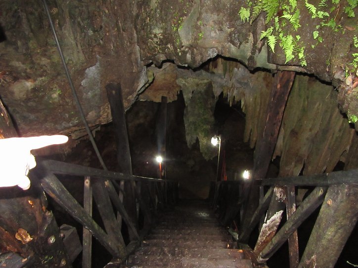
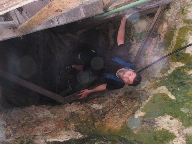
Our first one involved descending impressively into a hole in the ground, and past giant stalagtites to reach a chamber filled with an irregular shaped pool of crystal clear water. The water was of varying depth, and had all sorts of limestone formations and boulders in it. Still, there was plenty of room and depth to swim. The water temperature was cool, but not frigid or even bracing. It was the type of water you could stay in indefinitely.
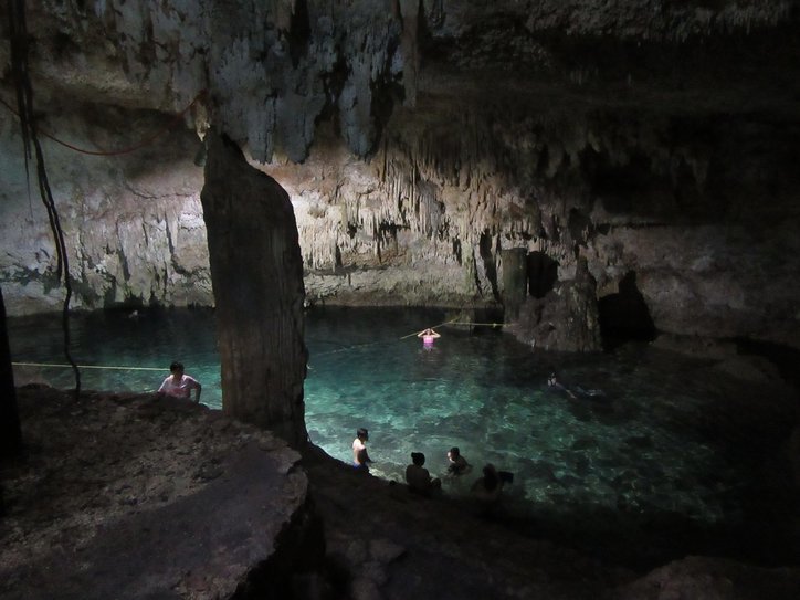
The people using the cenote had mostly arrived by tour van, but I would not say a very high proportion were Americans. Rather they were hispanic, but not Maya. It's hard to say where their busses had originated. The people were of all ages, but perhaps naturally, children and old folks were not particularly in evidence. The absence of children allowed the place to be reasonably quiet - free of the squealing that you always have in a swimming pool with children. Finally, I would be dishonest to not report that the young women seemed to favour almost non existent swim wear. Had they been Americans, that could have been part of a liberated holiday abroad thing. But since they were Hispanic, it signifies ... no idea!
(Hey there is a party going on in the street. Going to check it out, back soon.
Ok, we're back. It was not a party but a religious service of some sort. It seemed closest to a revival tent style meeting, with loud and active singing, and a keyboard connected to large speakers. Everyone was clapping and each song seemed to go on for ten minutes. We had to confirm in the grocery across the street that this was actually a church and the service was "catholic". At least we confirmed that within the limits of speaking no Spanish.)
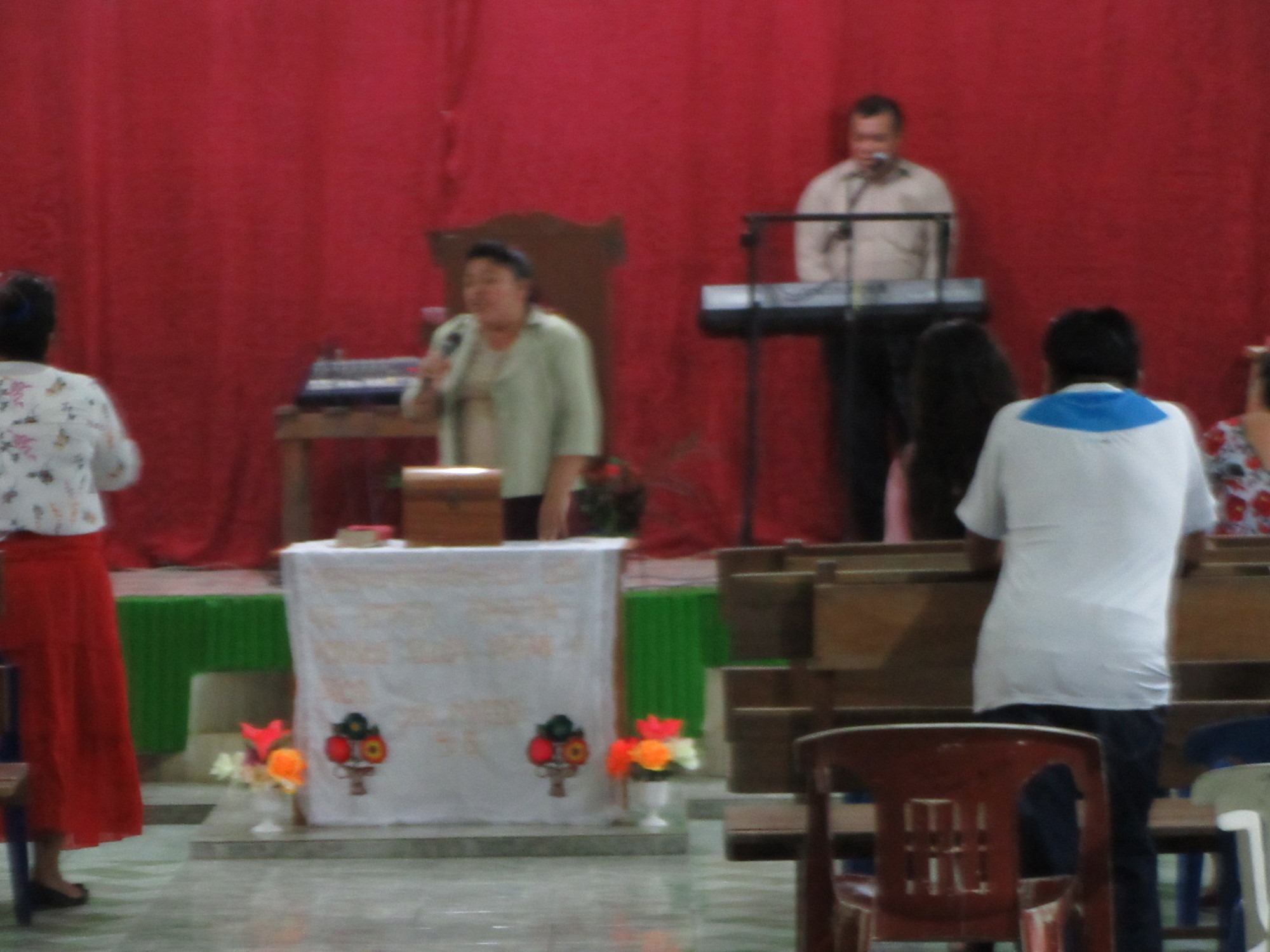
Click here to see the Coba church service
....back to recalling the cenotes:
The next cenote was quite different. Yes we descended into the earth, but the hole was deeper and the cavern bigger. Signifcantly, the water was deep - in fact 27 meters deep. Two diving platforms were built into the stairway tower leading down, and the main entertainment was in floating below and encouraging people above to try the jump.

| Heart | 0 | Comment | 0 | Link |
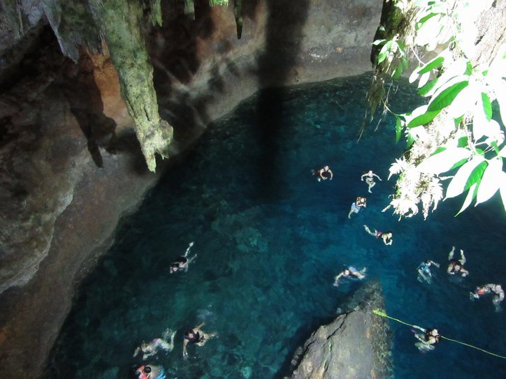
The final cenote was more like the second than the first, except that you descended furthest of all. It's 18 meters down to the water, and the water is then 5 meters to the first irregular rock outcroppings, and 30 meters at the deepest point! The water temperature is 26 degrees. That's 79 degrees F!

| Heart | 0 | Comment | 0 | Link |
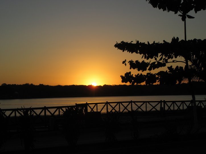
Cycling back to town we enjoyed just pleasantly warm evening temperatures, not blasting sun or oppressive heat. So nice. We hopped into a restaurant by the lake for Poc Chuc and Chicken Pibil, and watched the sun set.
Tomorrow we take to the likely hot and empty road. Wouldn't want this to start looking like a vacation!
Today's ride: 21 km (13 miles)
Total: 323 km (201 miles)
| Rate this entry's writing | Heart | 9 |
| Comment on this entry | Comment | 0 |
6 years ago