July 10, 2016
Sherman and Wauconda--the first of Washington's high passes
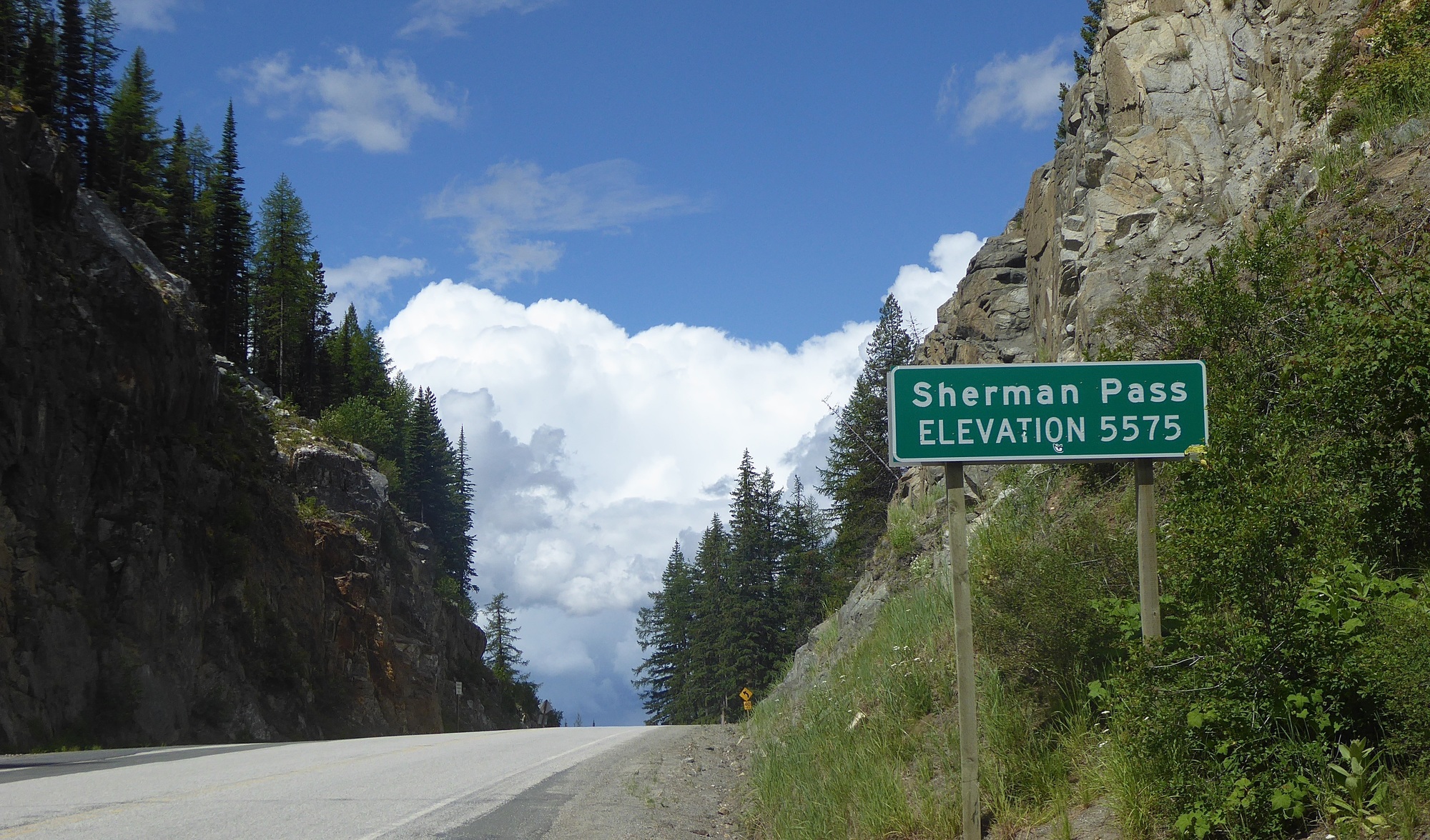
The ACA “Northern Tier” route map shows four major passes in the first 230-plus miles (370 kms) west of Kettle Falls: Sherman (5,575 ft), Wauconda (4,310), Loup Loup (4,020), and Washington (5,477). At 4,855 ft., Rainy Pass is a hiccup on the descent from Washington Pass. They are all manageable, with grades of 5-6% for the most part. The ACA map provides a suitably exaggerated image of the grades of the different passes:

| Heart | 0 | Comment | 0 | Link |
Anticipating a long day, I was up 5:30 AM and on the road by 6:45. The ride up Sherman was a bit of a slog, and the 25 kms took me four hours-plus, rather longer than the climb up Logan Pass. The weather was cool and cloudy, and I felt sweaty and clammy at the top, even after a stop for a snack. The view at the top was limited--I'd seen nothing yet to compare with Highwood Pass:
On the 30-km downhill into the small town of Republic, though, I had my first and only real moment of anxiety on my journey. Still wet with perspiration from the long climb, I put on my rain jacket as protection against the rush of wind I knew I would face, and set off to enjoy the descent. Within a kilometre, I started to feel chilled; a couple further, and I was yawning. I realized what was happening—the first signs of hypothermia—and immediately wheeled into a convenient parking lot, an educational site for a huge fire that had raced through the watershed a decade ago. I changed into a dry undershirt and cycling jersey, and put on every thread of clothing—my rain pants and booties to go with my jacket, my overgloves, my sweater and both my muffs, one as a scarf ‘round my neck and one as a skullcap under my helmet. Then I put my rain cover on my helmet.
It worked. To my relief, the chills left me, and I reached the bottom less than an hour later, warmed by the timely appearance of the sun and shielded from the wind by my rain gear. On the outskirts of town, there was a family restaurant. It was busy--there were a lot of folks in the parking lot dressed in church or go-to-meeting clothes. As I was sorting my bike and taking off my rain gear, a tall, curious, well-groomed and -tailored gent, sixty-ish I guessed, and perhaps the local pastor, wandered up to say hello. He was interested in my ride, and surprised by my being cold in the upper reaches of my descent--he thought it counter-intuitive. We spoke of the grandeur of the landscape. "All this beauty," he said, "it can't be an accident." Oh dear, sez I to myself, are we getting into "intelligent design"? "God is truly great," he said. "Thank you, sir," I said, "but I just have to get some food." I didn't say, "I'm with you, mate -- Allahu Akbar!" Instead, I ducked into the restaurant and refuelled with an enormous chili burger.
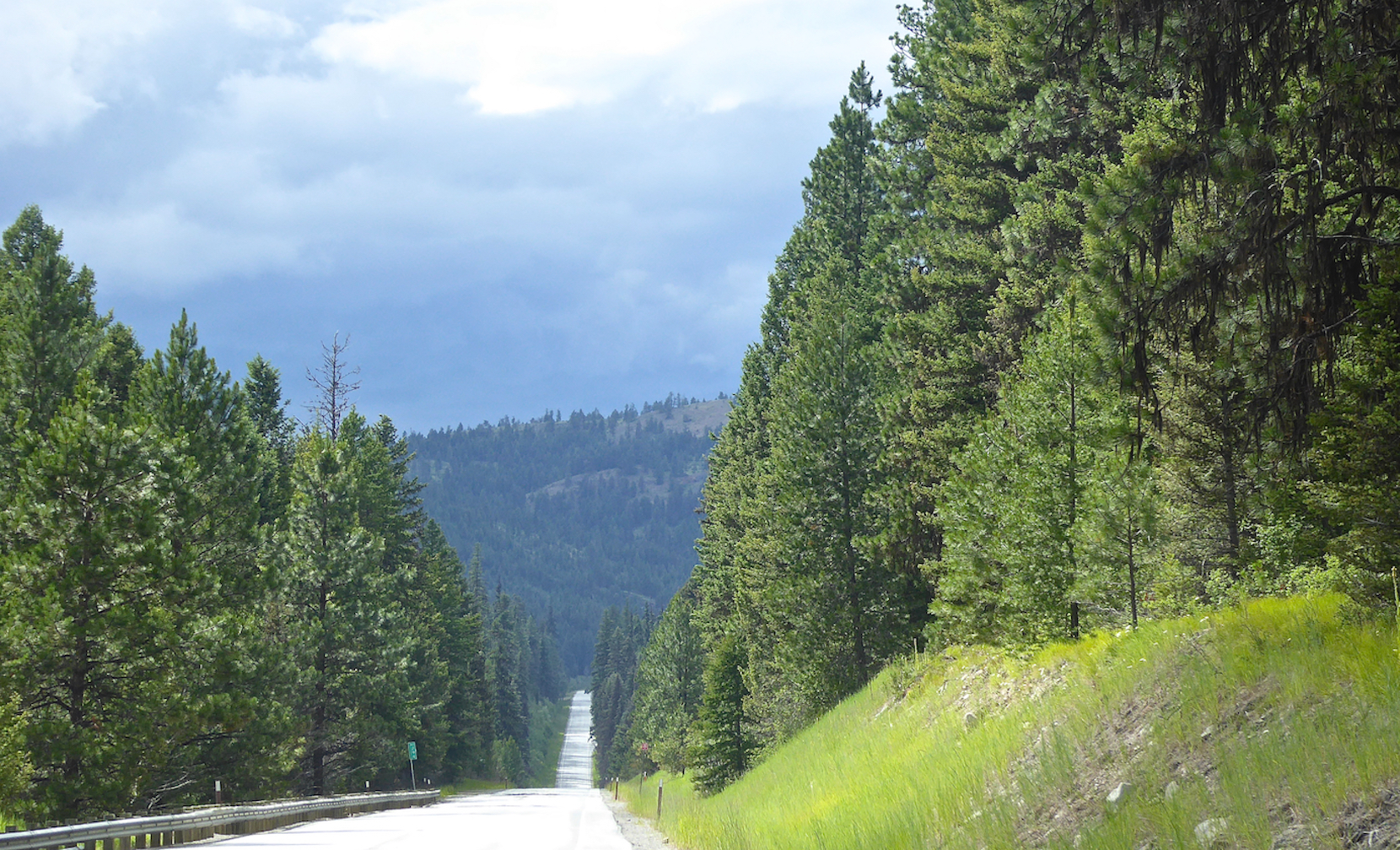
Rain threatened as I left Republic, so I put on my rain gear again, and that stopped it. Much of the 30-odd kms to Wauconda Pass was a series of rollers through cultivated forest. It helps if you like trees, as I usually do, but truth be told, this was pretty boring:
Wauconda itself is now a junction on SR 20 with a post office and a closed-up gas station. A roadside sign just before the junction tells of a campground up the road. There was a pickup parked beside the 20, so I hailed the driver and asked about the campground. No, he said, that closed a while ago. He suggested Bonaparte Lake campground, a right-hand turn just three miles ahead. It was past 5 PM, and I had been on the road for more than ten hours, but I figured I could manage a few more k's...And sure enough, in 15 minutes or so, there was the turn and the sign to the Wapiti Resort on Bonaparte Lake--just 6 miles in. Ah jeez, another 10 kms, I thought--it better not be uphill. In fact, it was an easy ride, with a slight upgrade which I scaled quickly when a small dog raced under a fence to snap at my heels, and then a slight downgrade to the lake.
I wheeled in feeling knackered, but the kind lady at the desk assured me that yes, their café was serving 'til 7, and they'd hold it for me if I wanted a shower first; and that I could choose my site anywhere, and all this was just $15.
Finding a splendid spot beside the water, I quickly pitched my tent; chatted with my neighbour, who had just finished his BBQ; had a shower, and made it to the café just after 7. There, I had a very good fresh fish-and-chips, with an excellent local draft lager. The Wapiti Resort was rustic, relaxed and comfortable, and I reckoned it was the best all-around spot I'd stayed in on my trip so far; and to spare you the suspense, dear reader, nothing happened in the week to come to change that.
A couple of guys at a nearby table were talking of hunting elk, and I overheard a snippet of their conversation. One, the older of the two, spoke of shooting many deer and bear, but his elk, he said, was "a massive creature". Now, he had a thousand pounds of meat in his freezer. I thought, "Some freezer!"
Returning to my campsite a couple of hundred metres away, I rigged a tarp for the night, just to make sure that the clear evening skies stayed that way. As always, I made an early night of it. The next day, July 11, I expected a ride of 110 kms, climbing the lower slopes of Loup Loup Pass to a campground above the Okanogan River valley.
Today's ride: 95 km (59 miles)
Total: 1,716 km (1,066 miles)
| Rate this entry's writing | Heart | 3 |
| Comment on this entry | Comment | 0 |