October 9, 2017
to Whitebird: Over Whitebird Hill
The tent is wet from the dew because we are near the river. The valley is filled with dense fog and the temperature is only just above freezing. We pack and head for a cafe in town for breakfast and wait for the fog to lift. This is so different from our regular routine. By the time we start cycling ordinarily we would already be down the road 15 or 20km and looking for a second breakfast.
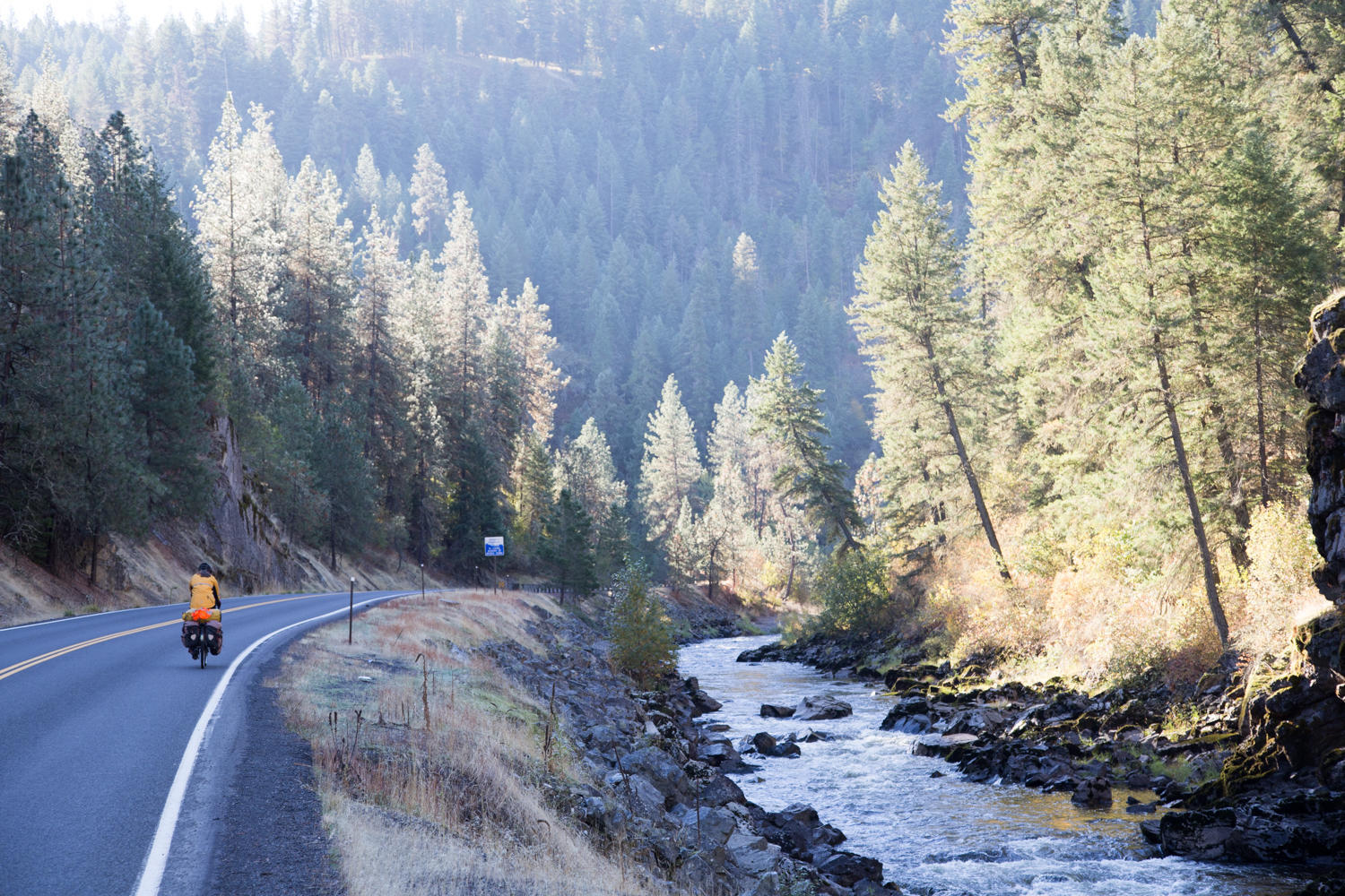
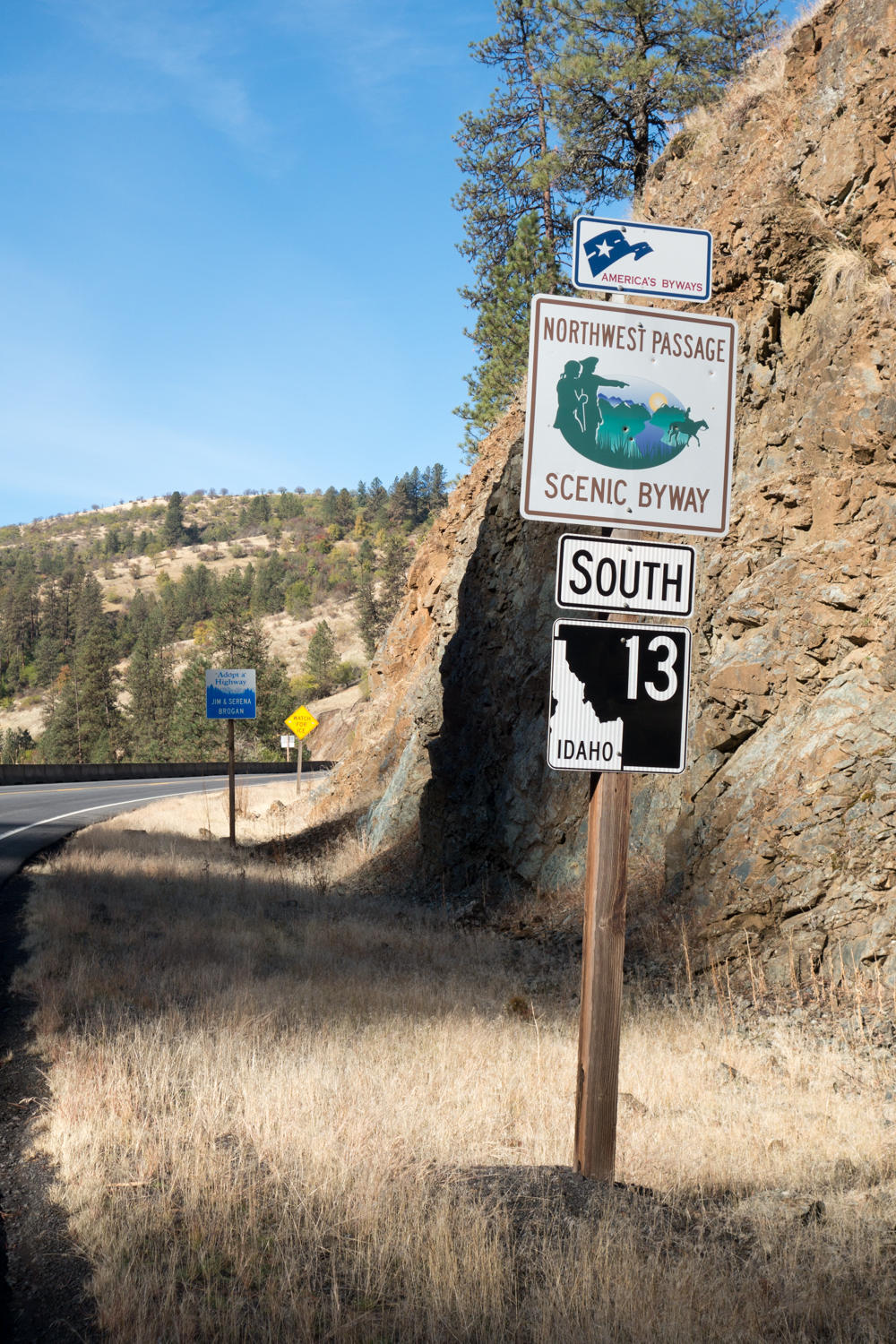
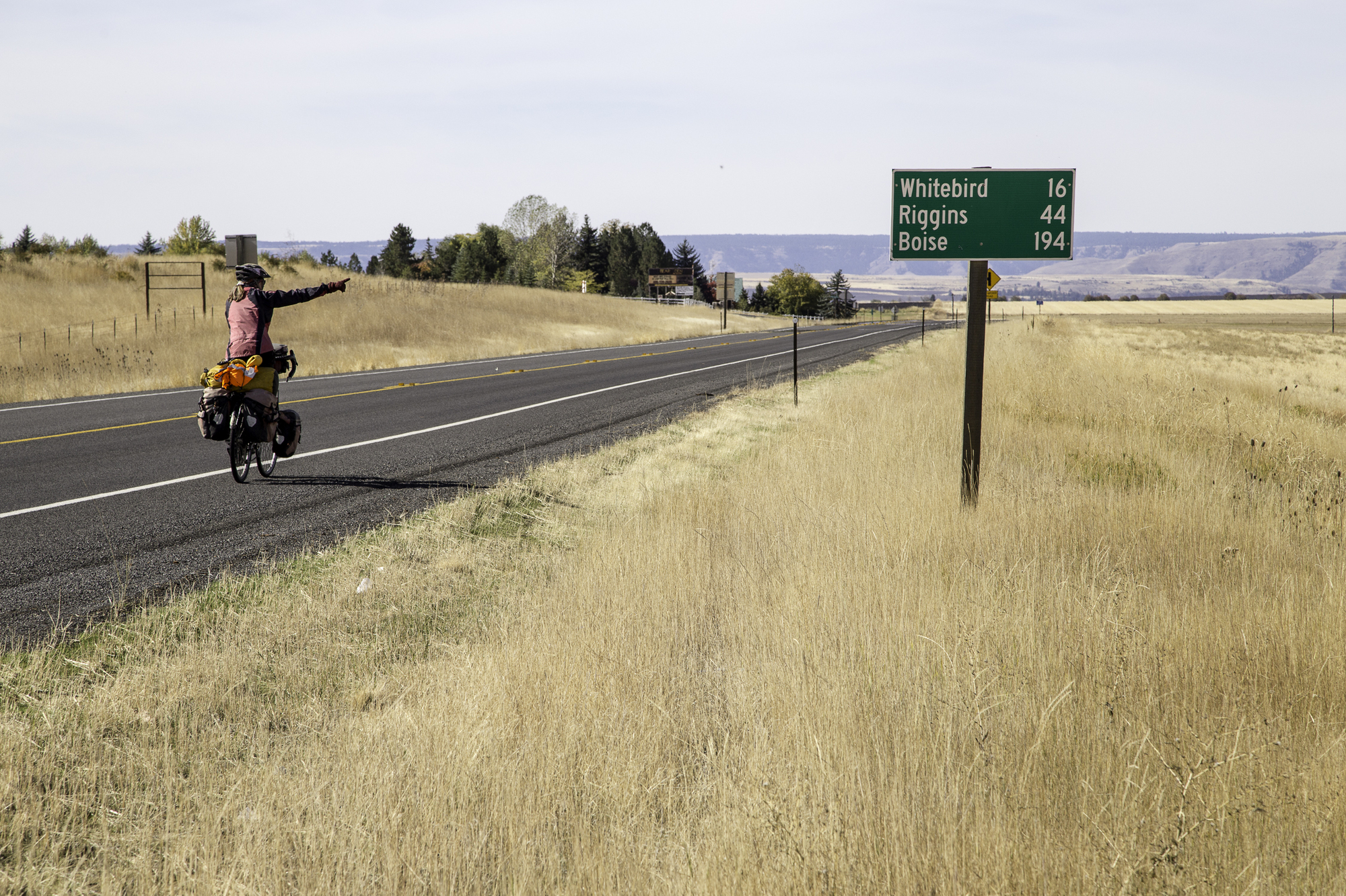
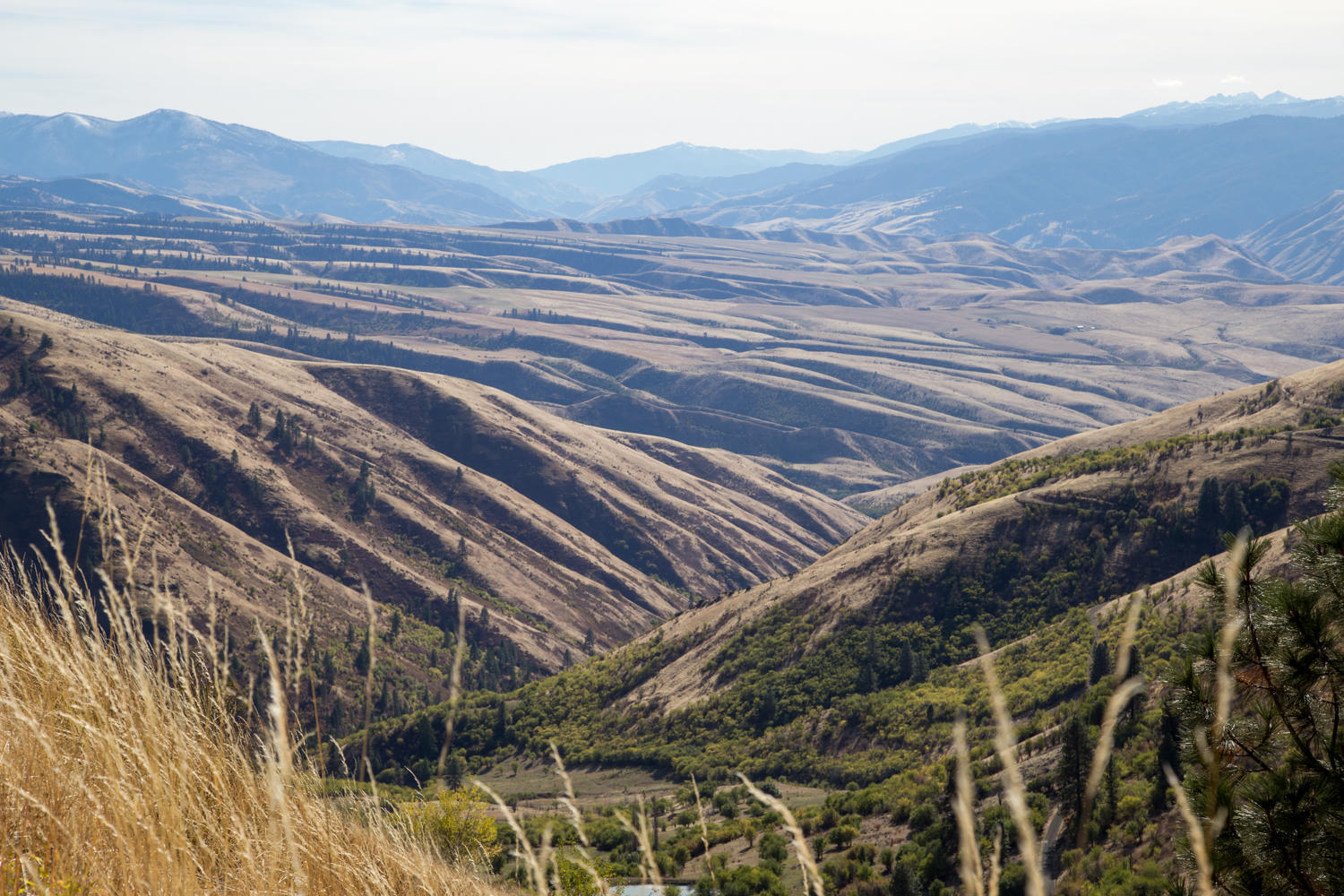
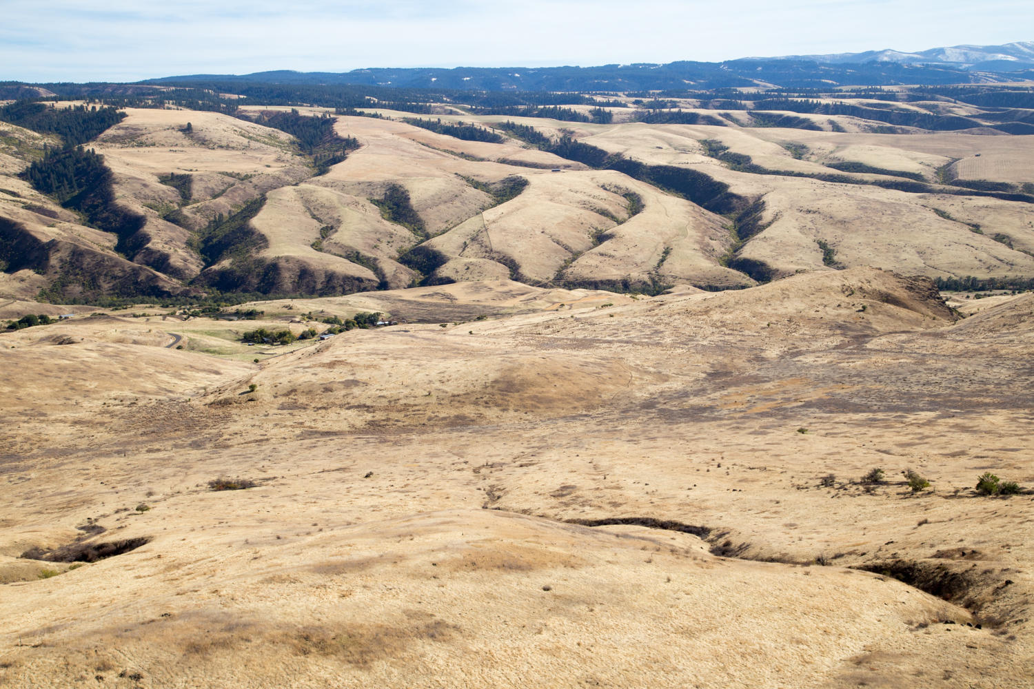
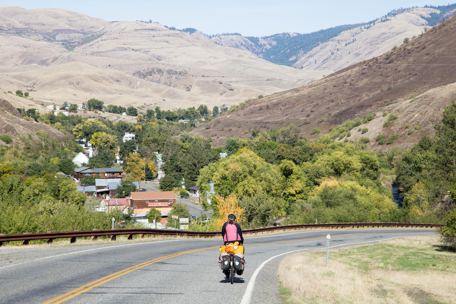
Those first 15 or 20 km we follow the South Fork of the Clearwater River gradually upstream before starting the climb up to Grangeville. When cycling new roads, sometimes sections, or scenery, or smells remind us of past places we've cycled. So many times in the last two years we would cycle past hills or on road and we would say: “this could be Idaho”. And now here we are: cycling Idaho. This is a beautiful but tough ride today following the Nez Perce Trail and the Scenic Northwest Passage trail. After reaching Grangeville, we stop at a supermarket to buy supplies before setting off for the second part of the climb. It is slow going but finally we reach the summit of Whitebird Hill at 4245 feet. We were planning to take the Old Whitebird road down, but find that it first goes up some more. We turn around and decide to stay on the new road. We zoom down on the 7% grade, all the way to the Salmon River.
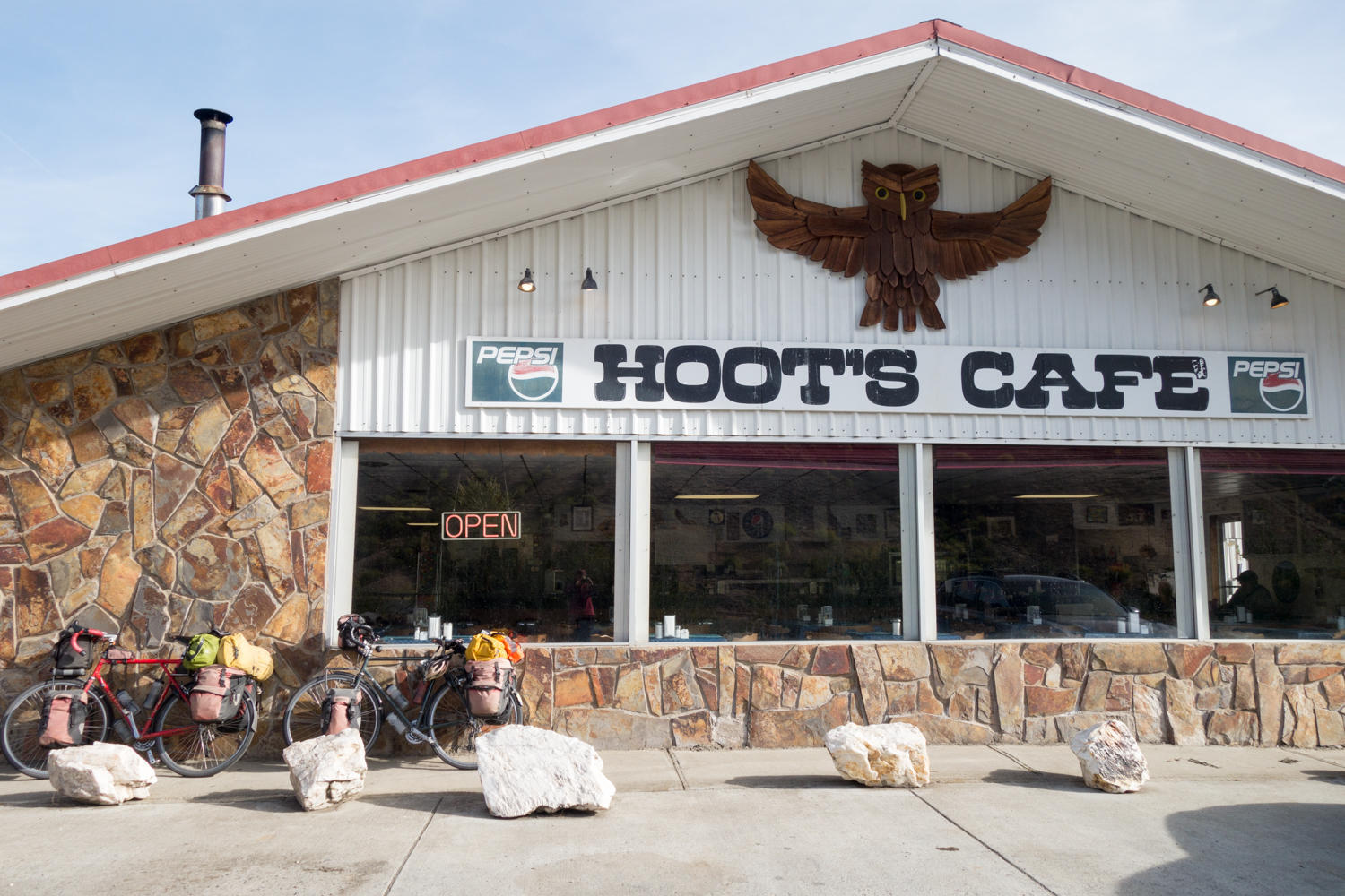
Reaching Whitebird, we are disappointed to find everything closed except the bar. Our plan was to have dinner in town at a Mexican Restaurant before going to the campground, it's closed. The bar only offers meat pockets and pizza for food. They recommend going to Hoots Cafe further up the road. Rather than climbing back up to the new road and over another hill, we take the Old 95 and pass the Swiftwater Campground where we plan to camp. We need to go over a couple more hills and back to the new road to find Hoots. And it is a hoot. Owls are everywhere. Neither of us fancies back tracking so Patrick asks about a room at the associated motel. The rate is reasonable at $43, a nice restaurant and best of all no backtracking to the campground. We take a room!

| Heart | 0 | Comment | 0 | Link |
| Heart | 0 | Comment | 0 | Link |

| Heart | 0 | Comment | 0 | Link |
Today's ride: 77 km (48 miles)
Total: 40,840 km (25,362 miles)
| Rate this entry's writing | Heart | 0 |
| Comment on this entry | Comment | 0 |