August 10, 2017
to Metropolis: across the Tennessee and Ohio Rivers and into the
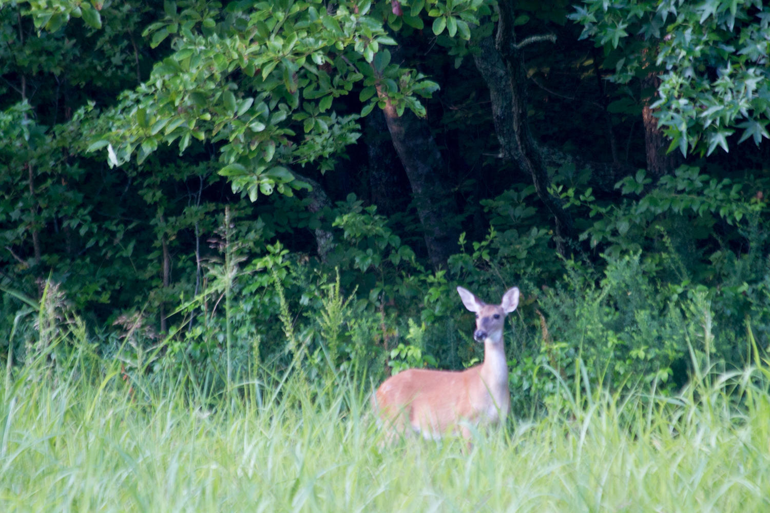
We get up just as the sun is rising. Again there is lots of dew on our tent and the grass. One of the rules in this campground is that you cannot ride bikes; the host explained yesterday that bikes spook the horses for some reason. So we pack-up and push our bikes to outside the park entrance. It is about 8 kilometers back to the main road; just like the approach yesterday the road is narrow and hilly. We see three deer and a turkey though (Thanksgiving pops into our heads again). The Woodlands Trace continues north, past the Visitor Center and towards the northern exit. Long rollers make us climb, and then freewheel to the next climb.
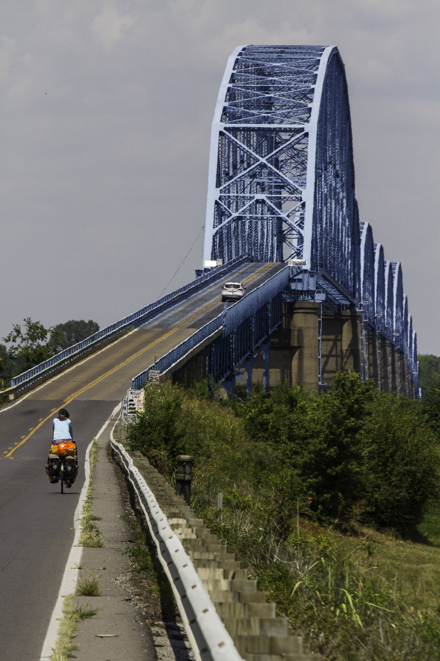
At the Northern Welcome station we have an early sandwich, and then cross the bridge over a canal that connects the Cumberland with the Tennessee River. A little further we turn West on US Highway 62. After crossing a long bridge at the Kentucky Dam, one of the TVA (Tennessee Valley Administration) power generators that brought cheap power to this region and spurred its development.
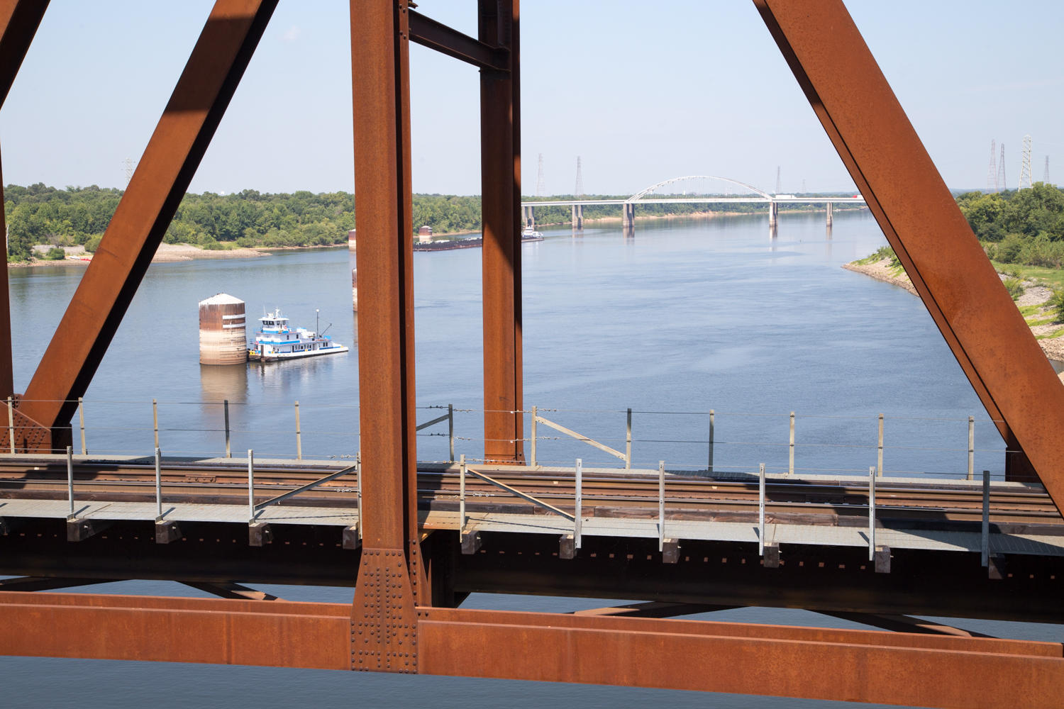
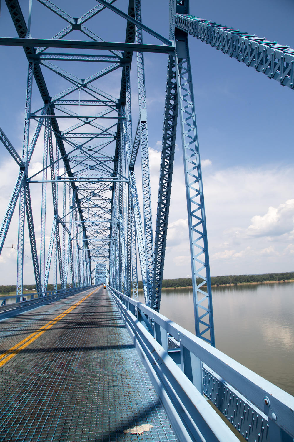
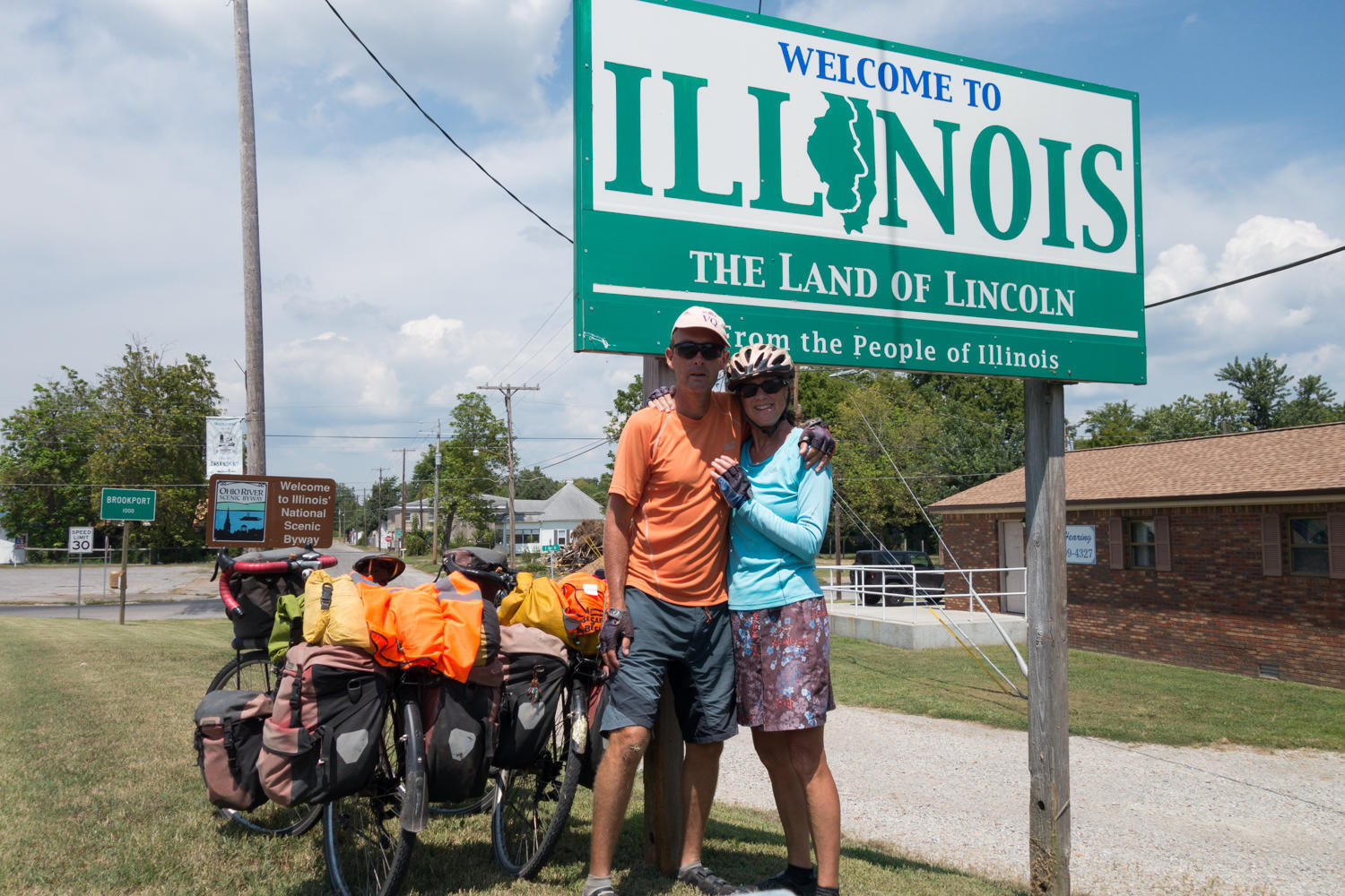
We follow US62 all the way to Paducah and it’s not much fun. The road has only a narrow shoulder which was ruined for cyclist by the rumble strip. So we ride on the busy road. Traffic is good though, most wait and give us space. Just past Paducah we cross the Ohio River on a huge steel bridge that is painted blue. The bridge deck is steel grate, which is difficult to cycle. The front wheel keeps tracking left or right and it is hard to keep a straight line. Traffic is still fairly heavy and the bridge is narrow. Between your feet you can see the green waters of the river. We decide to stay on the main road and get to Metropolis by a round-about way, it adds some miles and in retrospect we probably should have tried the more direct bike trail that googlemaps shows. Our day was supposed to be about 80km, but we end up at over a hundred. What we found is that bicycle routing on the CGOAB maps inside the US picks all the smaller roads for you. It is indeed shorter, but typically also hillier. When we decide to stay on the larger roads it adds extra miles quickly.
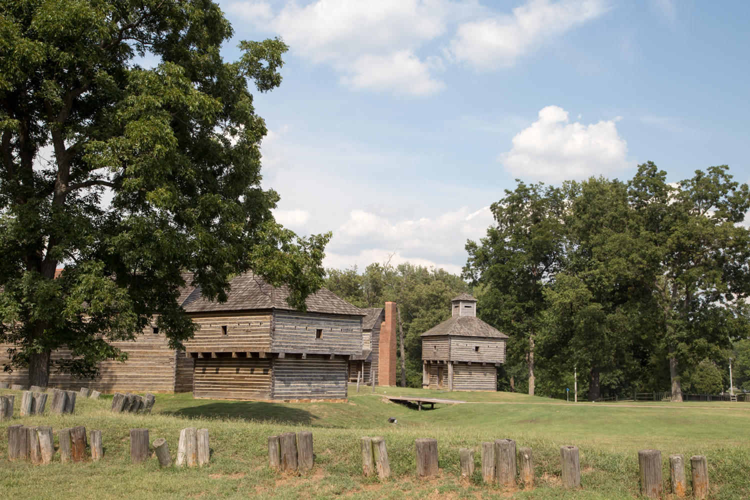
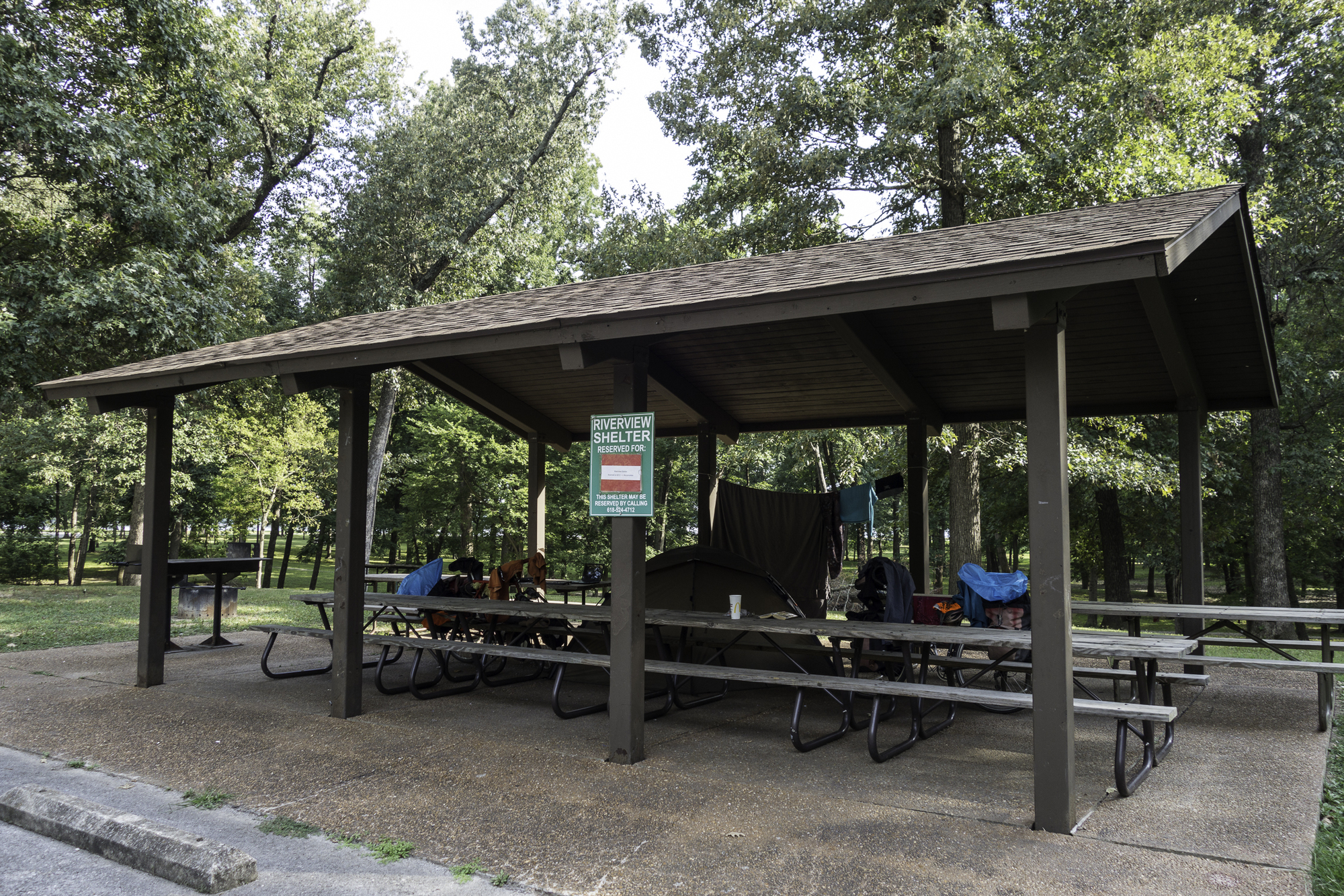
Upon entering Metropolis we stop at the McDonalds for an early dinner. On the weather TV we see a line of thunderstorms headed this way, so after quickly checking our emails on the free Wi-Fi we head to Massac State Park. The visitor Center is closed due to “lack of staff”. Great. We take a walk around the old fort and then head for the campground. Because of the approaching storm, we decide to commandeer one of the picnic shelters and pitch our tent in there instead of taking a regular site. There are no rangers to kick us out or accept the fee. The campground has nice hot showers and restrooms.
One more day riding to Carterville and two days of rest and visiting with Anita.

| Heart | 0 | Comment | 0 | Link |
Today's ride: 104 km (65 miles)
Total: 37,052 km (23,009 miles)
| Rate this entry's writing | Heart | 0 |
| Comment on this entry | Comment | 0 |