August 24, 2015
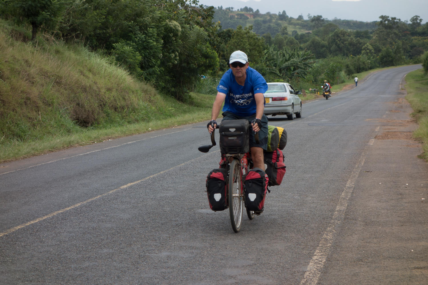
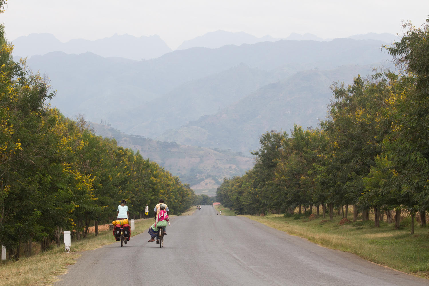
To Kasese: not as easy as the elevation graph made us believe
"Losing elevation is not the same as downhill" Rachel says. We lose 100 meters then have to regain 75 meters....20 to 25 meters at a time we lose the elevation.
Rest days are nice and necessary, but can make getting back on the road difficult, especially if the rest day was in a nice place. Last night we took dinner at the guesthouse....two kinds of soup (mushroom and zucchini), a veggie casserole, mashed potatoes with gravy, carrots and a salad of avocado, tomato and lettuce with dressing. And interesting conversation with fellow guests, an Ugandan woman (Angela) - American man (Jake) a couple, and a German doing research on micro business.
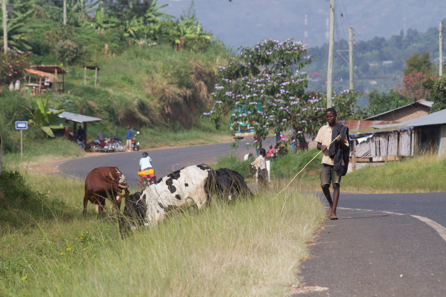
Then, the respite from hearing "Bye Bye Muzungu" is quickly gone once back on the road. We try to remember that the kid shouting and waving isn't the same kid we just waved back too. The adults however are a bit annoying with their shouts and whistles.
Again, expectations of what the road will be dampens the reality. The Ruwenzori Mountains are to our right as we slowly descend back into the Rift Valley. Once settled into our hotel, Patrick goes to the supermarket and sees the Israeli couple from Sipi Falls! The world is getting smaller.

| Heart | 0 | Comment | 0 | Link |
Today's ride: 78 km (48 miles)
Total: 6,160 km (3,825 miles)
| Rate this entry's writing | Heart | 2 |
| Comment on this entry | Comment | 0 |