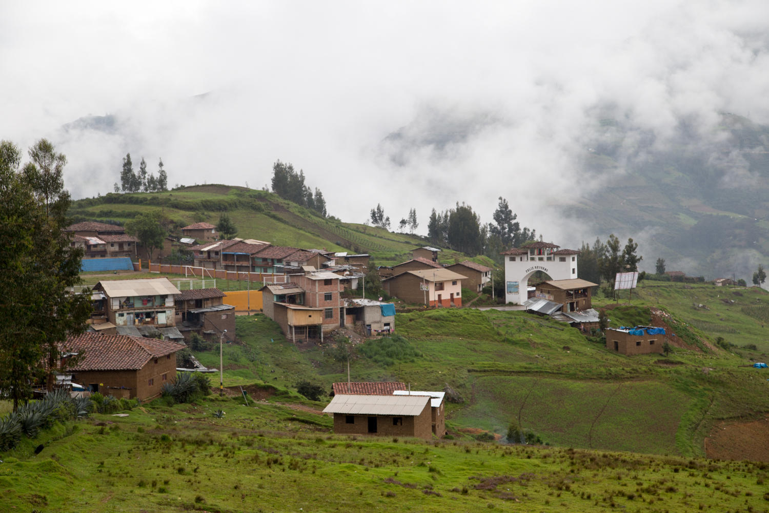
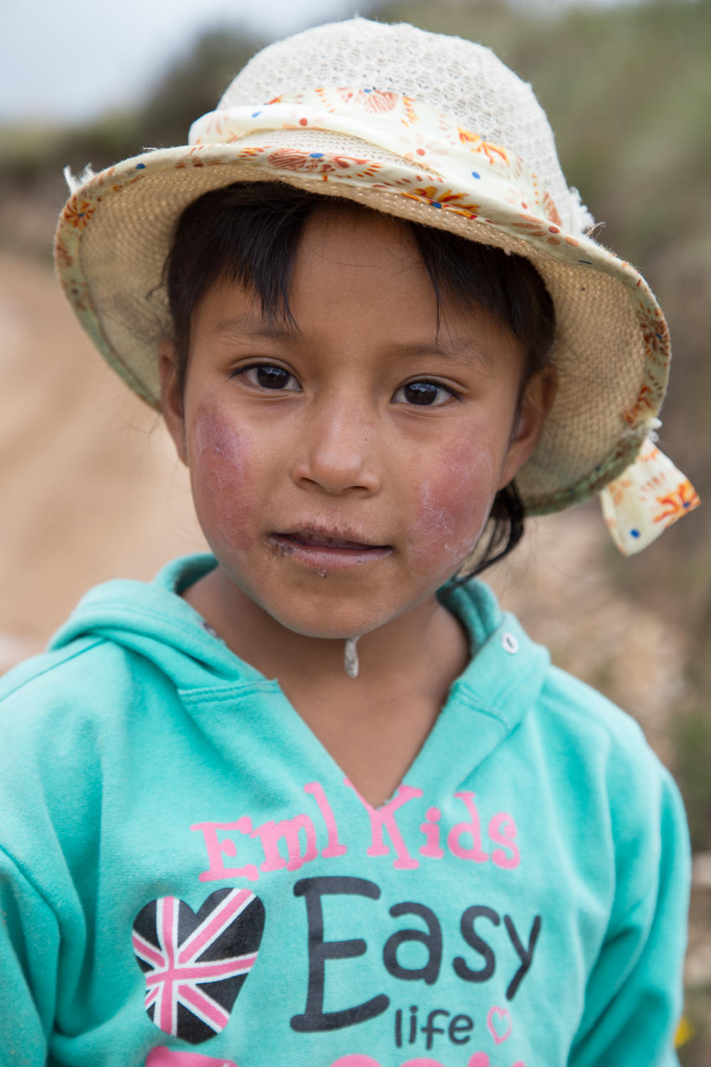
to Huamachuco - 3160m: muddy roads to the 'big' town.
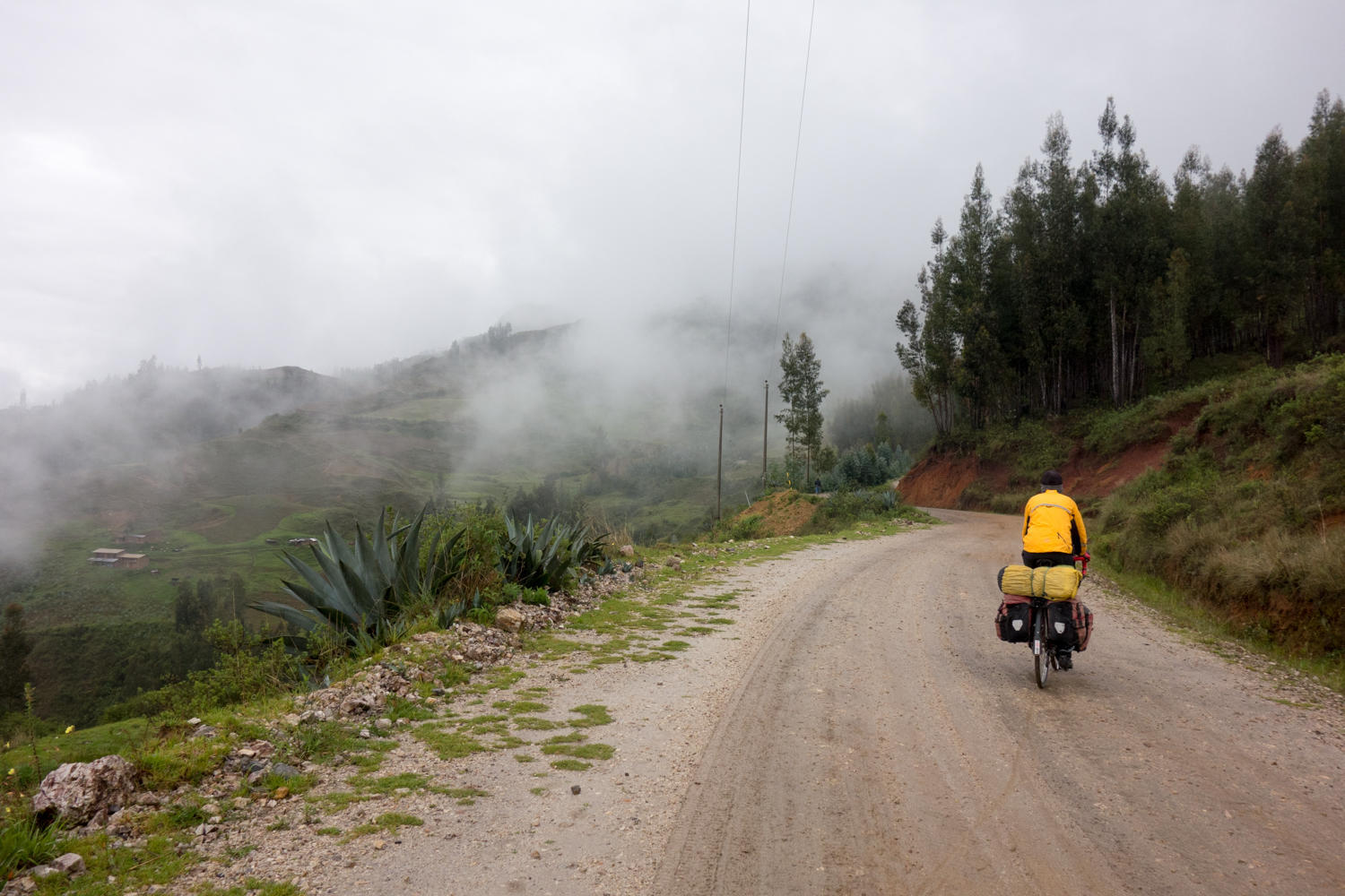
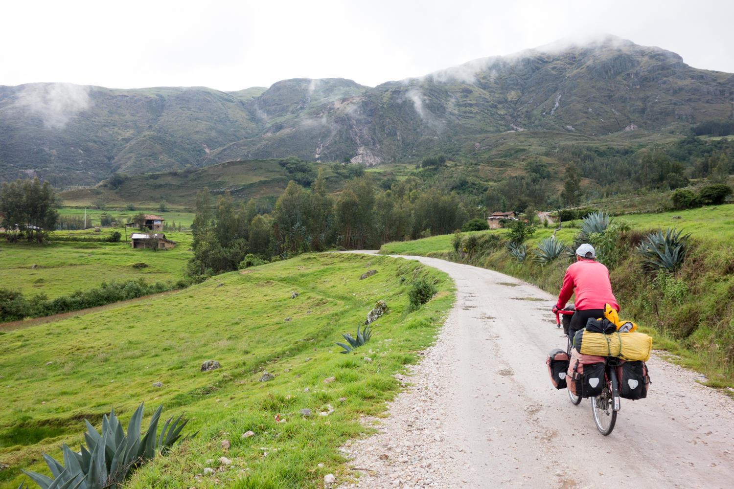
"I'm glad you remembered the waterproof socks" Rachel says. These are items carried and rarely used, but boy, are we happy to have when we need them. We wake to rain and fog, and not wanting to repeat the day riding here in the rain and becoming almost hypothermic, we are dressing prepared for nasty weather. It is tough though to get going on a morning like this. We much rather would just take another day here and sit in the hot tub, but Idaho is calling us.
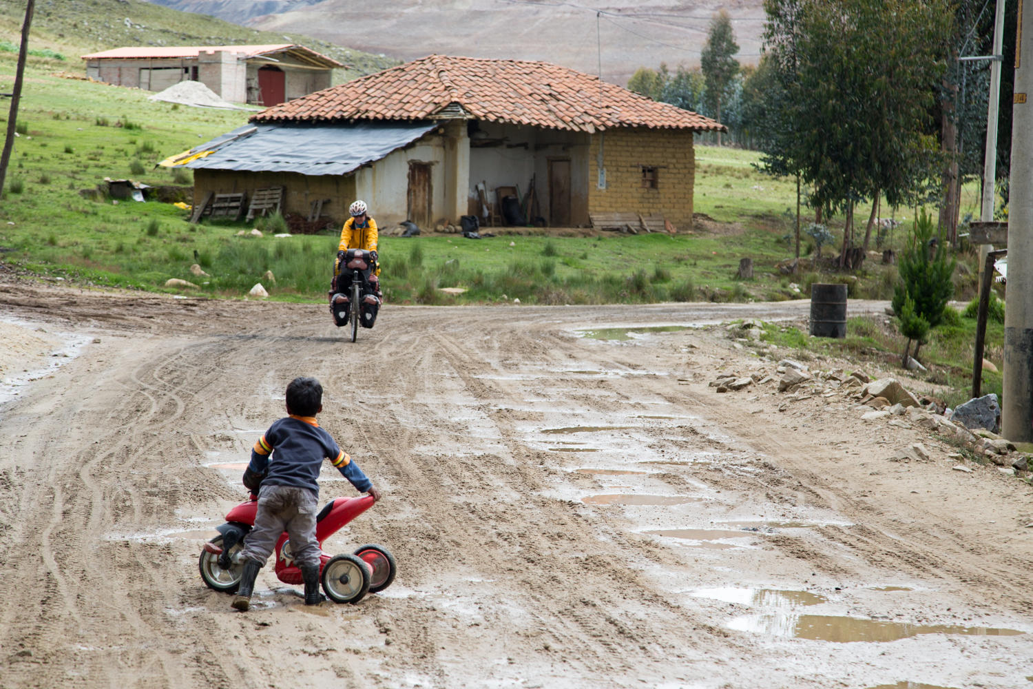
There are several junctions today. When we get to the western end of Cachicadan the 3N road continues west. We reach the turnoff north on route 117. We were expecting a few more kilometers of downhill to the river, but we start climbing instead. The road surface is fine gravel and sand and pretty muddy after all the rain. We almost inmediately decide to try and get a ride, but again there is no traffic except for a mototaxi selling fresh bread to the farmhouses along the way. We leap frog with the mototaxi, and when we had stopped at the roadside for a food break, he catches up and stops. He asks if we need pan.
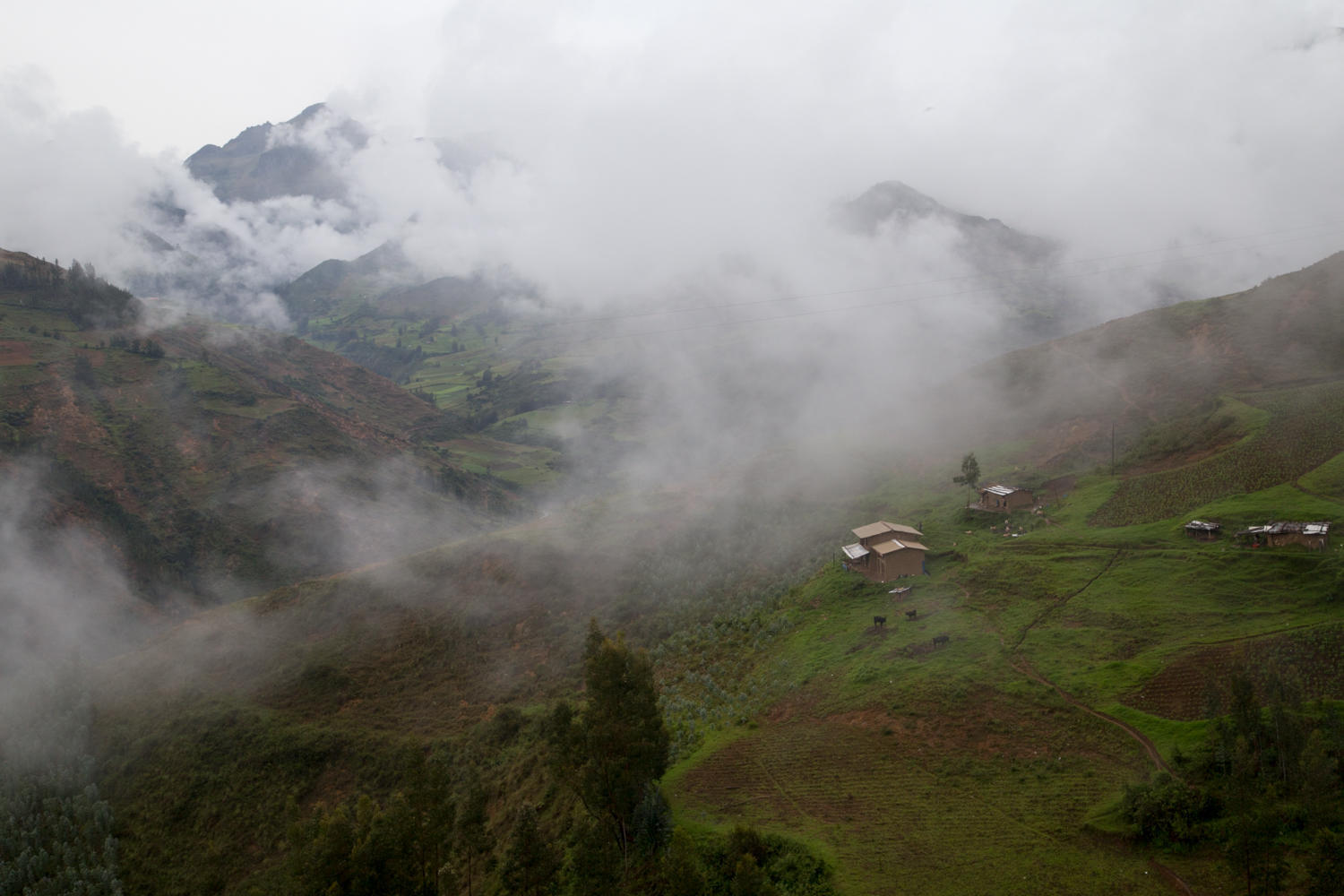
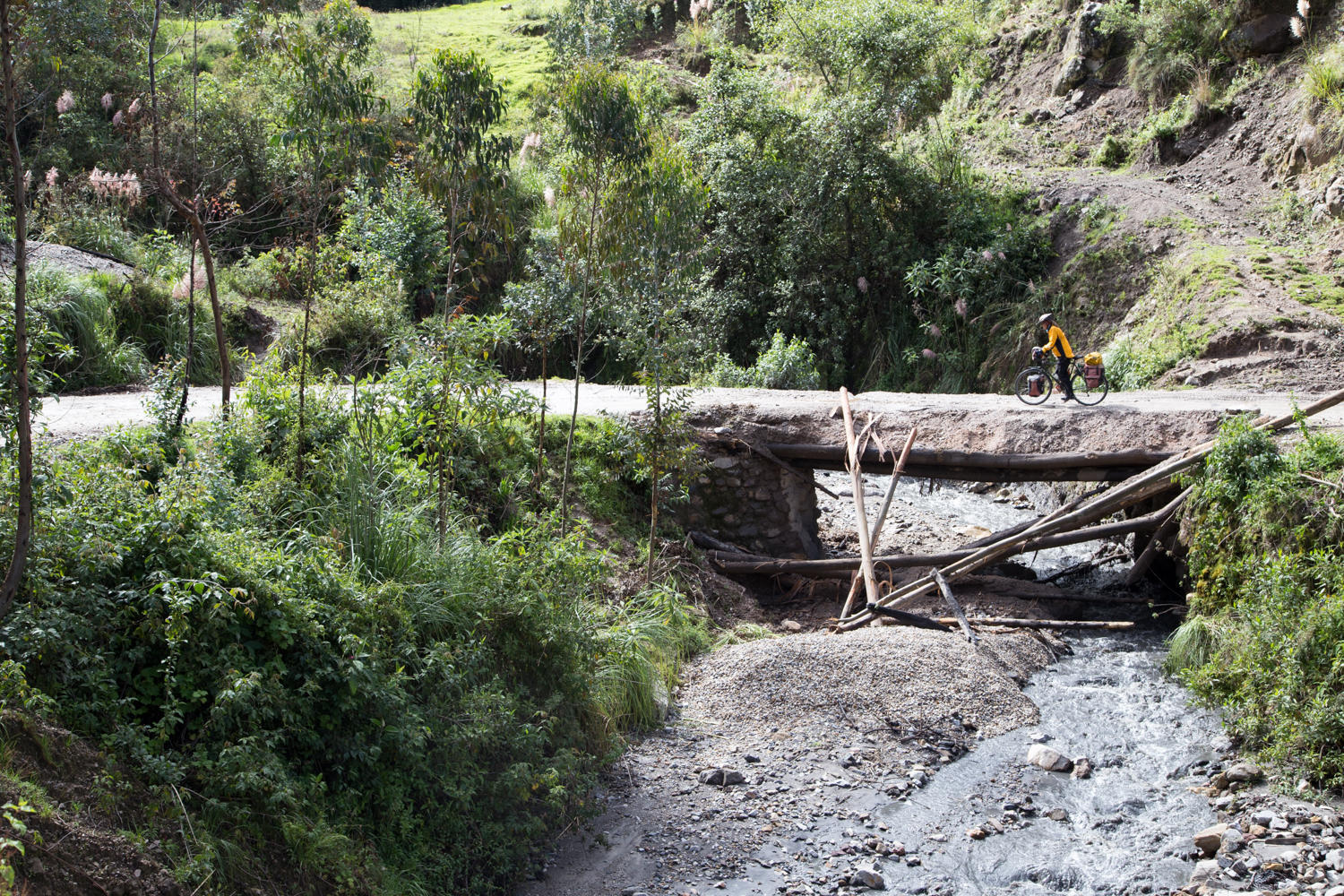
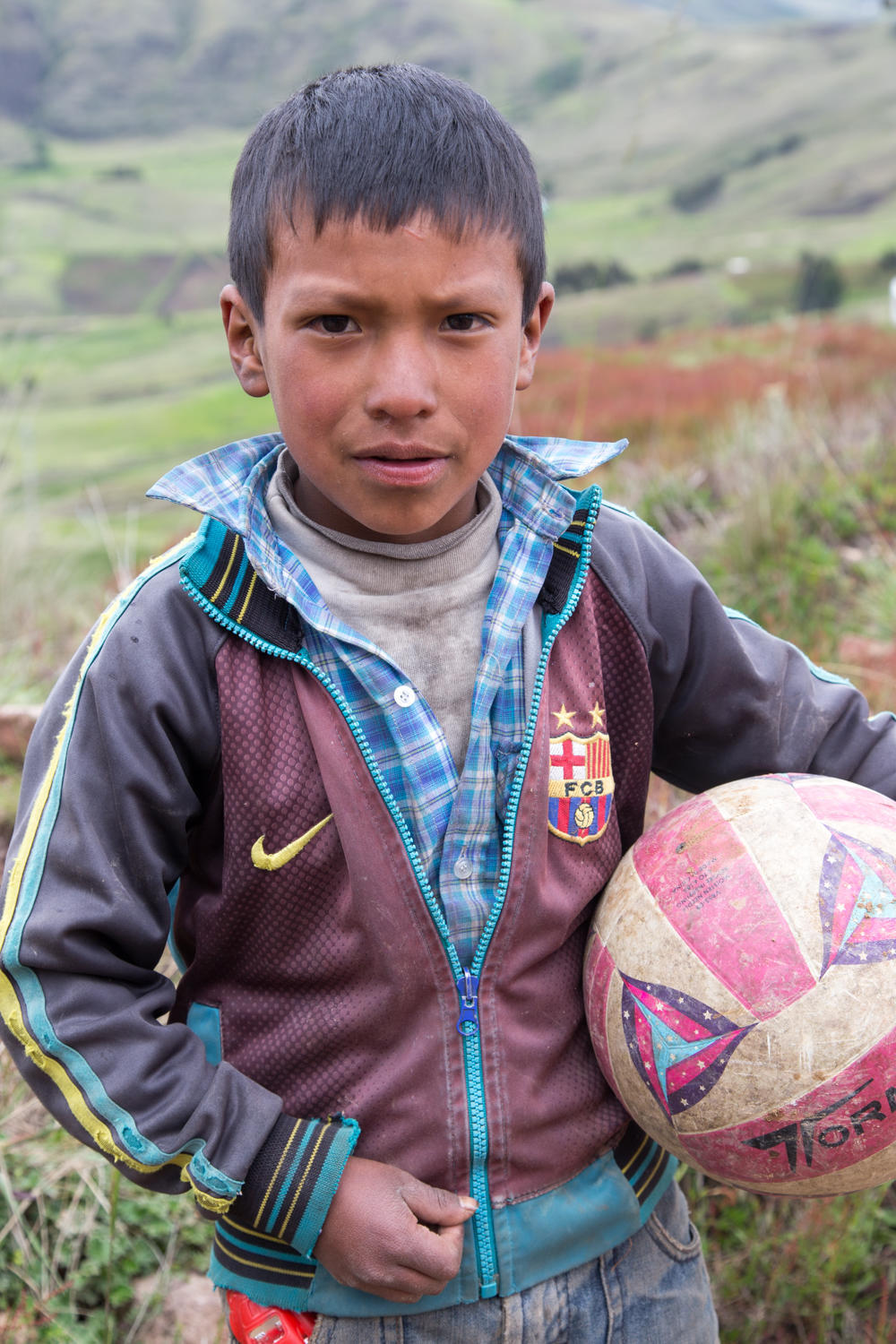
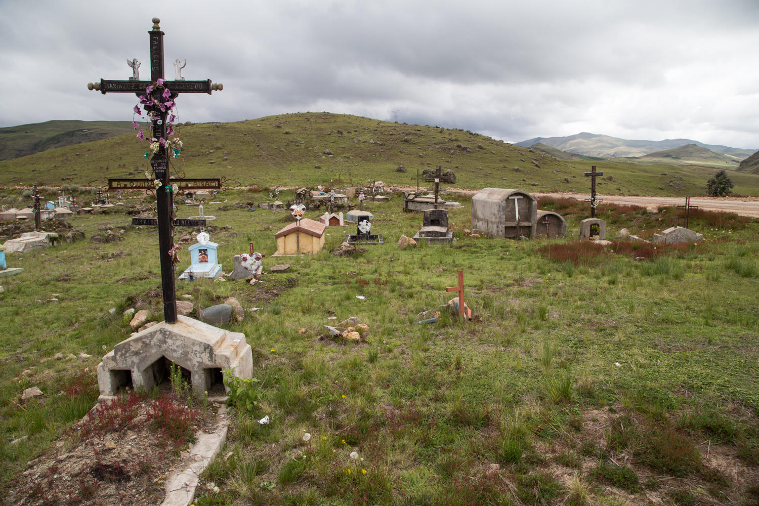
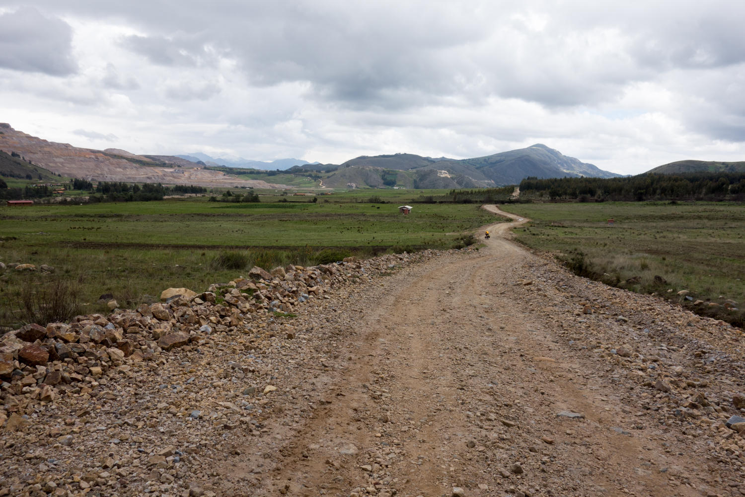
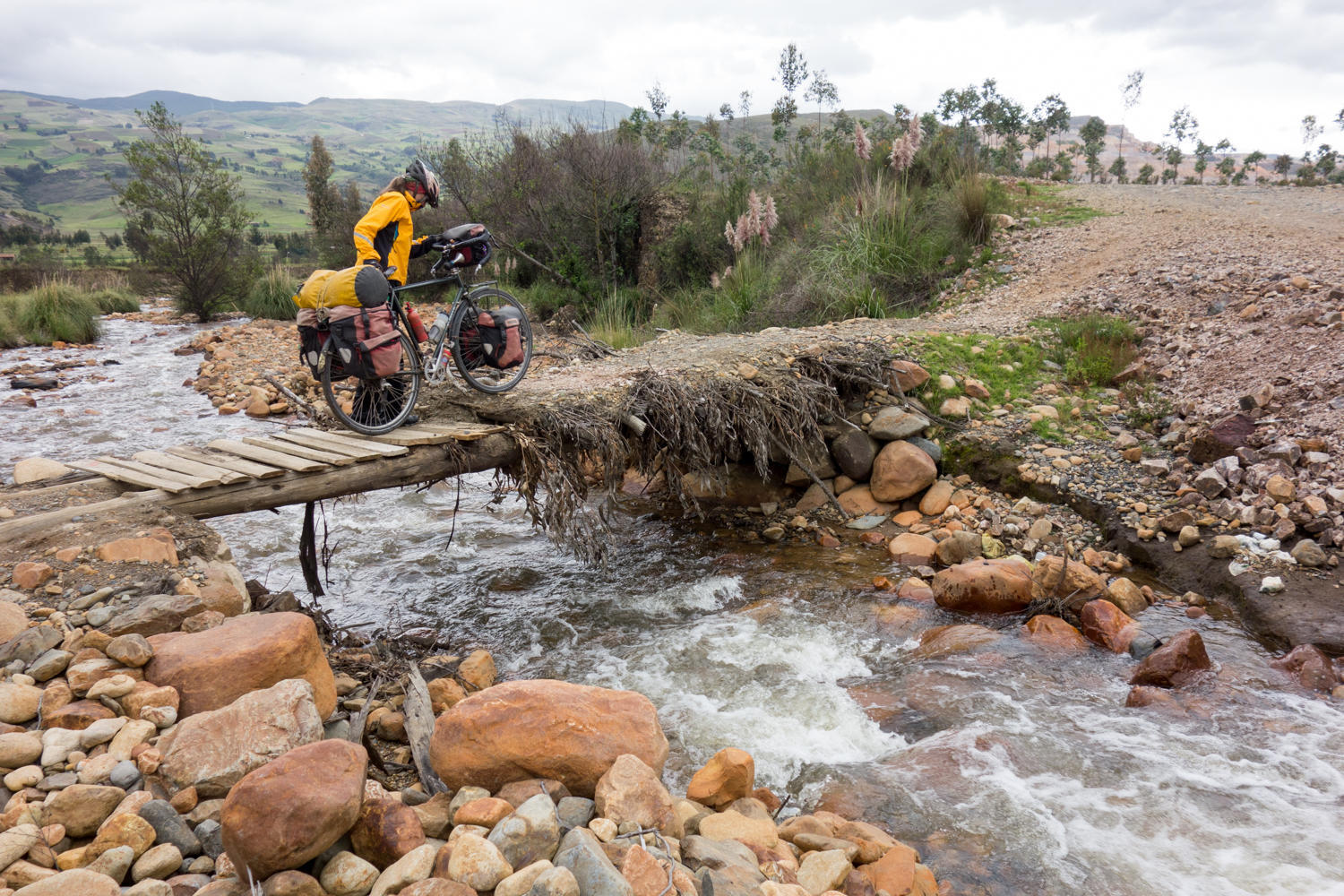
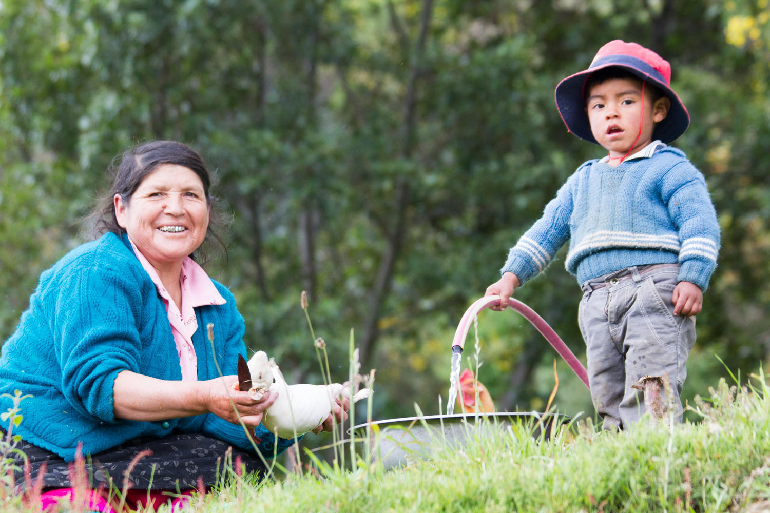
After 22 km of climbing to about 3600 meters altitude (from 2900 meters) the road levels off and the cycling becomes easier. Dark storm clouds are threatening. We reach a major junction and turn east on route 115. Even though the rain has let up the road is very muddy, full of potholes and barking dogs. Rachel stopped to take a picture of turkeys when 4 geese came squawking done the hillsides at her. Beautiful scenery the whole day with the exception of going through a mining camp and starting to see a couple of huge open pit mines. We turn north again on route 116. Googlemaps and maps.me disagree on which one is the right 116. We follow google and probably guess wrong because it does not appear many vehicles have driven here. Still it is beautiful cycling, be it a little rough, the rocks in the road become bigger.
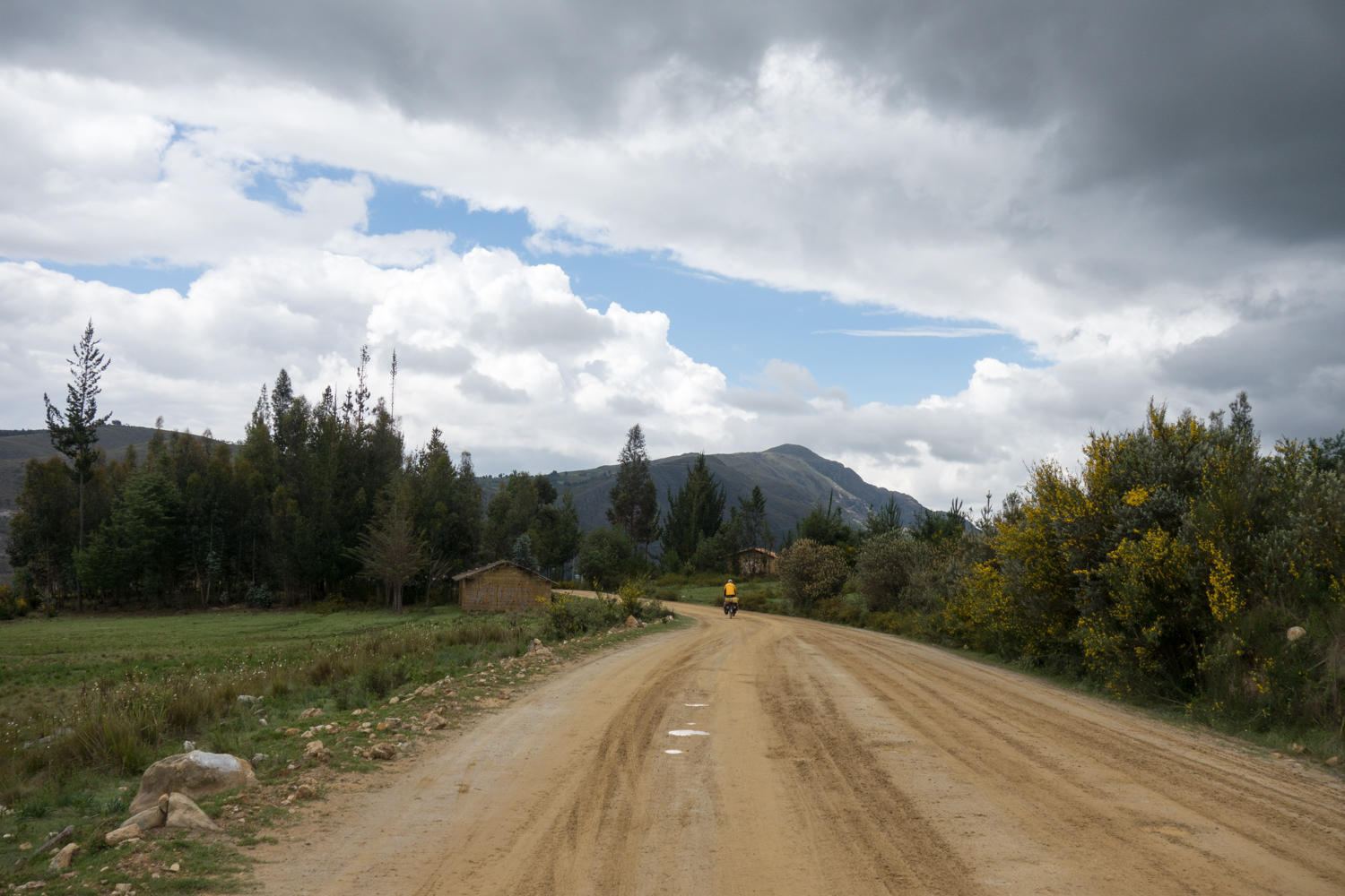
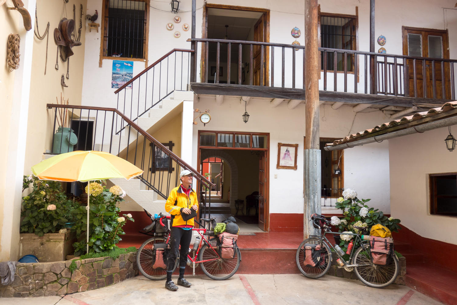
Finally our road meets up with the 3N again and pavement! With about 14km to go to town, we keep going to get there, though we haven't stopped for a break for awhile. We have to crest on more ridge and the entrance to town, then all downhill to the Plaza De Armas. Right on it we find one of the LP recommended hotels. It is actually (still) very nice with a courtyard, nice room and a huge flatscreen television in our room. There are no english language channels though....and the Wi-Fi is a bit slow. Next door is a nice restaurant (Bull Grill) so we don't have to far with the afternoon rain pouring down.
Low clouds and rain as we leave Cachicadan. The temptation for another restday here is great.