June 29, 2025
Day 18: Bellevue to Shoshone, Black Butte shield volcano
I enjoyed another rare breakfast at the Silver Creek Hotel in Bellevue. On the road at 9:15 AM with sunny skies and 65F temperature. No more 40F mornings.
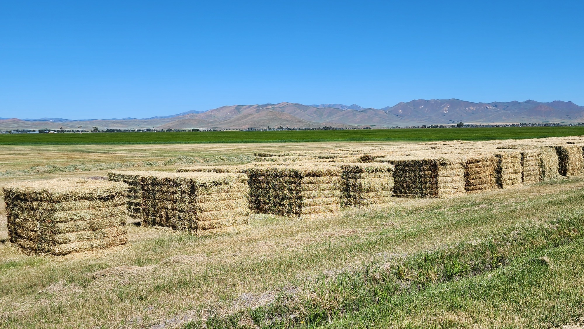
Most of the morning miles were on farm roads east of busy ID 75. I enjoyed the irrigated farm scenes.

Pretty much everything that grows needs to be irrigated. The area is criss-crossed with irrigation canals.
This morning's route includes several miles of unpaved county roads that Google Maps says are paved. The unpaved roads were flat, smooth, and hard. Almost as fast as pavement.

| Heart | 1 | Comment | 0 | Link |

The no-traffic farm roads connected to US 20, a major east-west highway. I went east half a mile to look at a gravel road that goes farther south. That road is much hillier and rockier than the smooth gravel in the farm valley. I have plenty of time to spare but decided not to commit to 10 miles of hilly rocky gravel.
Instead I pedaled a mile west on US 20 to connect to ID 75, the busy highway I want to avoid. I got on ID 75 and began pedaling south up a big steep hill with no shoulder at all. The edge of the traffic lane was sometimes crumbled away, and traffic was heavy. It was not pleasant and I would not recommend it. A usable shoulder appears after the gravel road connects to ID 75. I wish I took the 10 mile rocky gravel route. There were no trucks on the road because today is Sunday, but recreational traffic was heavy.
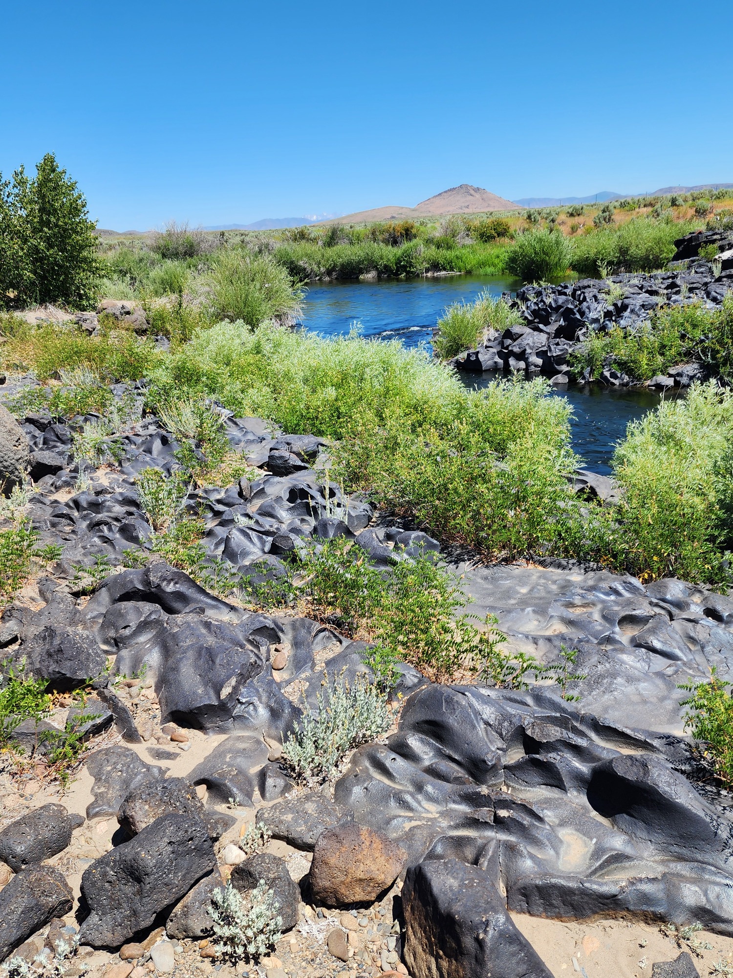
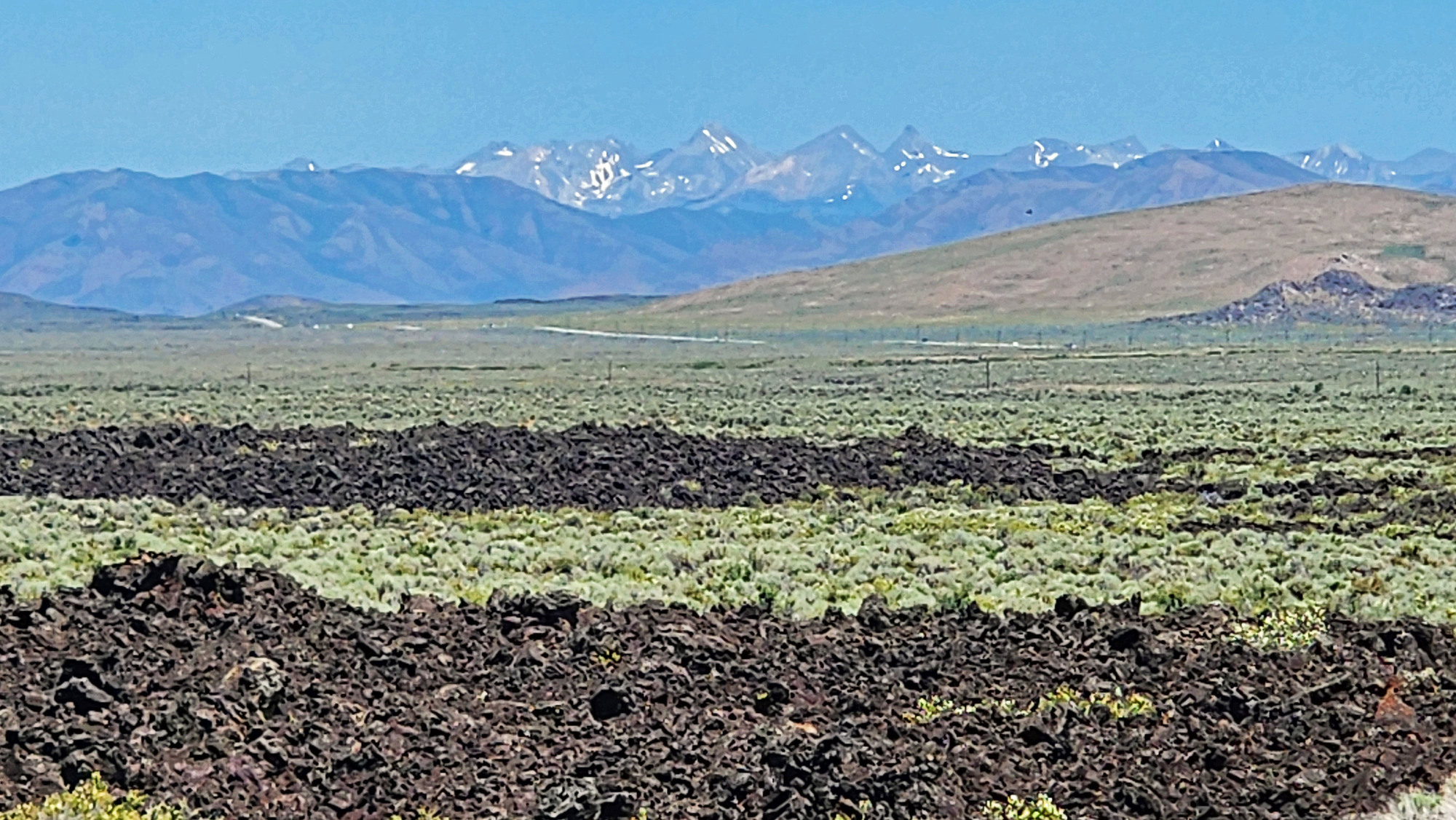
I took a long stop where ID 75 crosses the Big Wood river on the edge of a big lava flow. I pedaled a short distance down a side road to a little park with interpretive signs that explain how the river cuts through a 10,000 year old lava flow from nearby Black Butte shield volcano.

The main reason the park exists is to access rare highly eroded lava formations. Ice age floods scoured the extremely hard lava into otherworldly shapes. Scoured lava is a routine sight at waterfalls in the Pacific Northwest. Here it's scoured in the desert and the wear is more random looking.

I walked various informal trails in the area to see the lava formations. I had to bushwhack on sharp dangerous lava to get close to the river. The river looks attractive for swimming, but getting in and out on hot sharp lava would not be pleasant.
| Heart | 3 | Comment | 0 | Link |
This lava came from Black Butte crater, a shield volcano that I'm about to see up close. It last erupted about 10,000 years ago. Geologically recent.

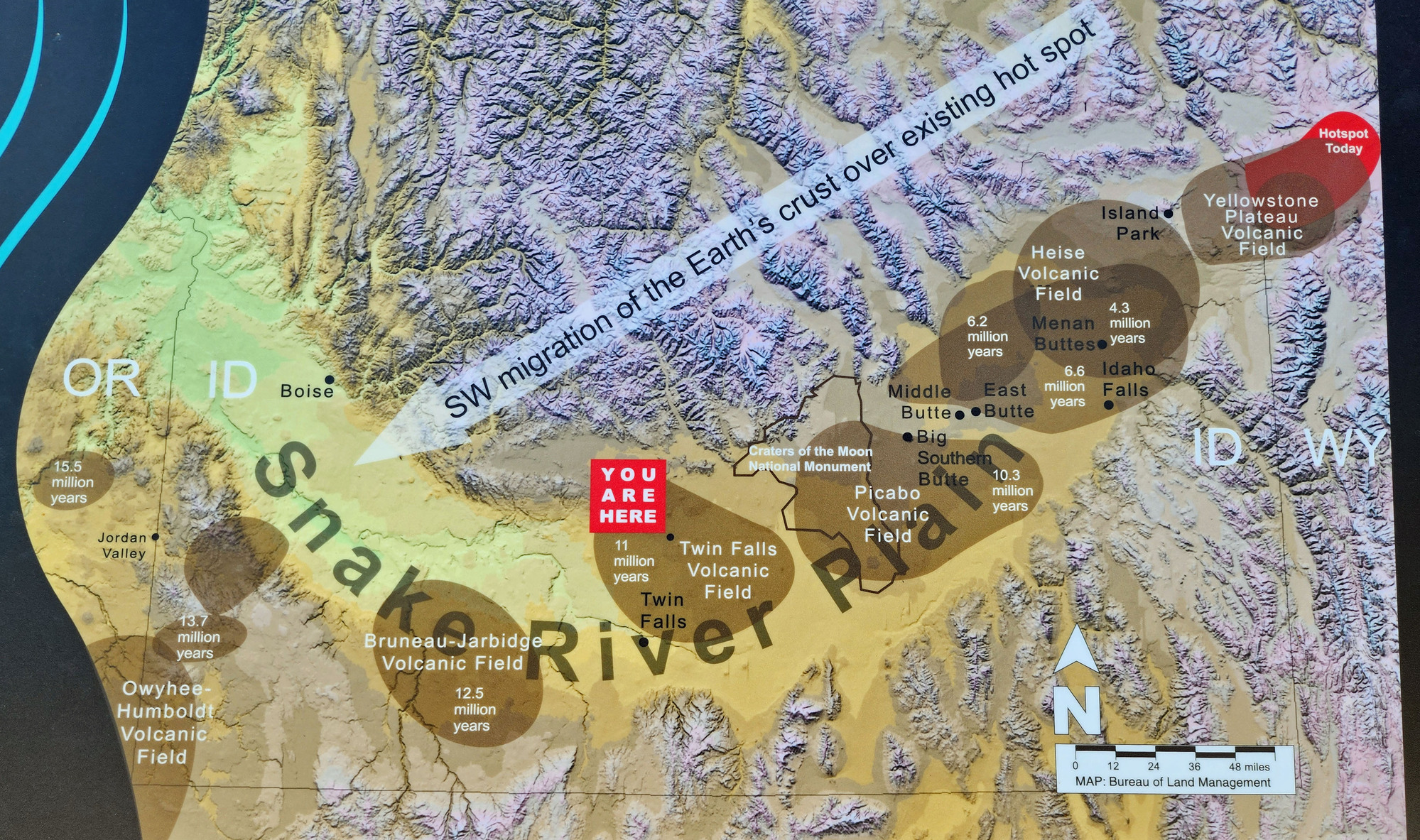
The parking area has the most educational sign I saw during this tour. The sign clearly explains that the earth's crust is drifting over a volcanic hot spot in the earth's core. The crust is moving southwest, making the stationary hot spot appear to move northeast. Over the last 16 million years the volcanic hot spot has moved from southeast Oregon to Yellowstone.
The path of the moving volcanic hot spot is mostly in the Snake river plain in southern Idaho. The sign shows the major volcanic fields that can be seen today, and when they were most active.
| Heart | 0 | Comment | 0 | Link |
The sign shows that this area was the volcanic hot spot 11 million years ago. But I'm standing on Black Butte shield volcano which erupted only 10,000 years ago. That's like yesterday compared to 11 million years ago.

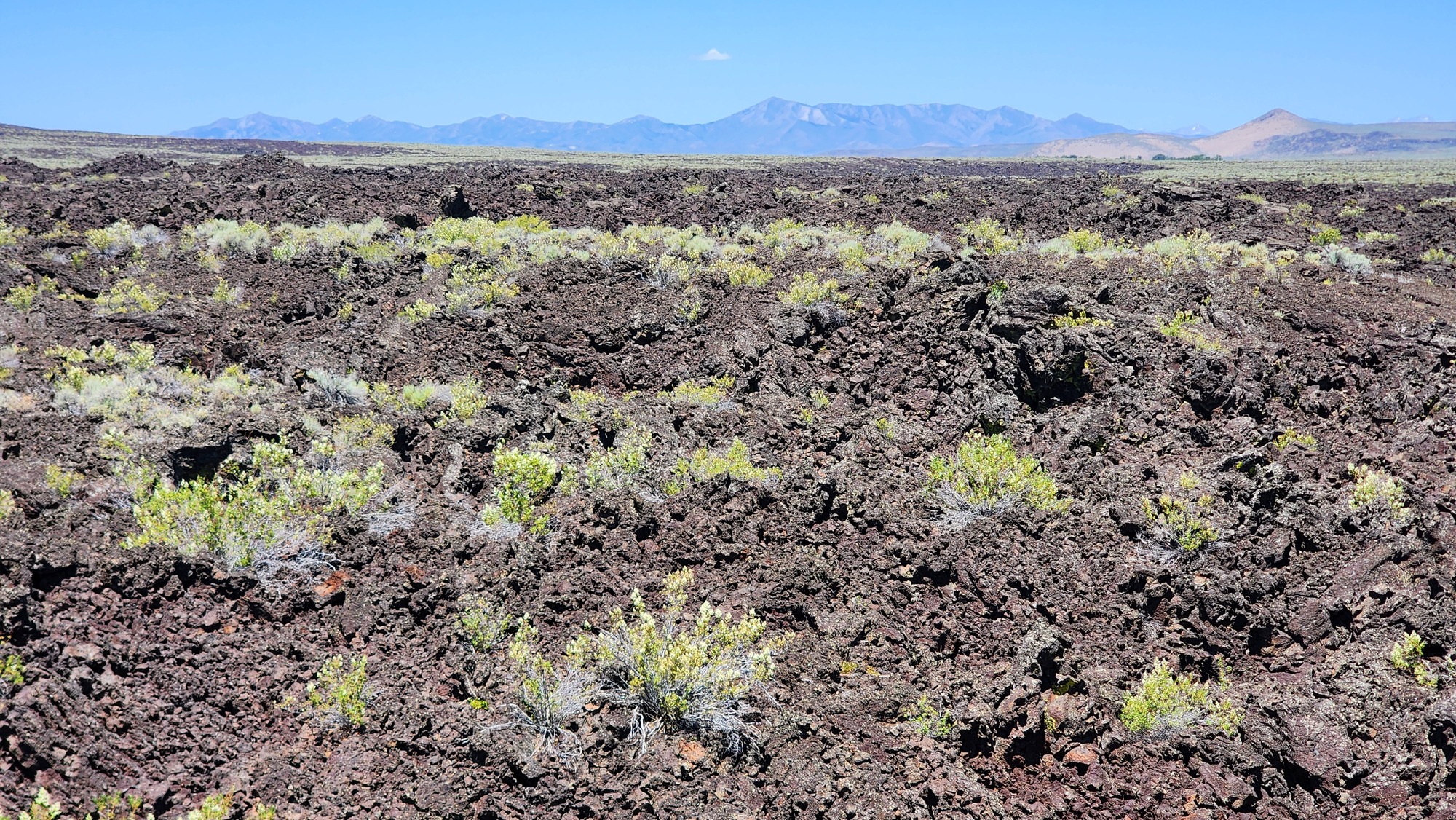
I didn't know about Black Butte shield volcano in advance. It was a great discovery. In 2008 I pedaled through a much larger lava flow in Craters of the Moon National Monument. This is a miniature version of Craters of the Moon.

The Sawtooth mountains are now very far away to the north, barely visible.
| Heart | 1 | Comment | 0 | Link |
Black Butte shield volcano is miles wide but rises only a few hundred feet. The road summit is 150 feet above the valley. That's typical of a shield volcano. They cover a large area but aren't tall or pointy. In 2009 I pedaled into the caldera of North America's largest shield volcano-Medicine Lake volcano in northernmost California.
| Heart | 1 | Comment | 0 | Link |
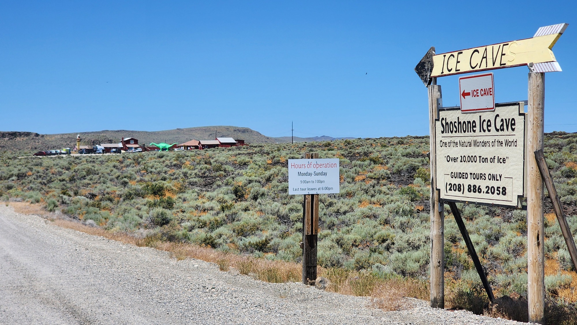
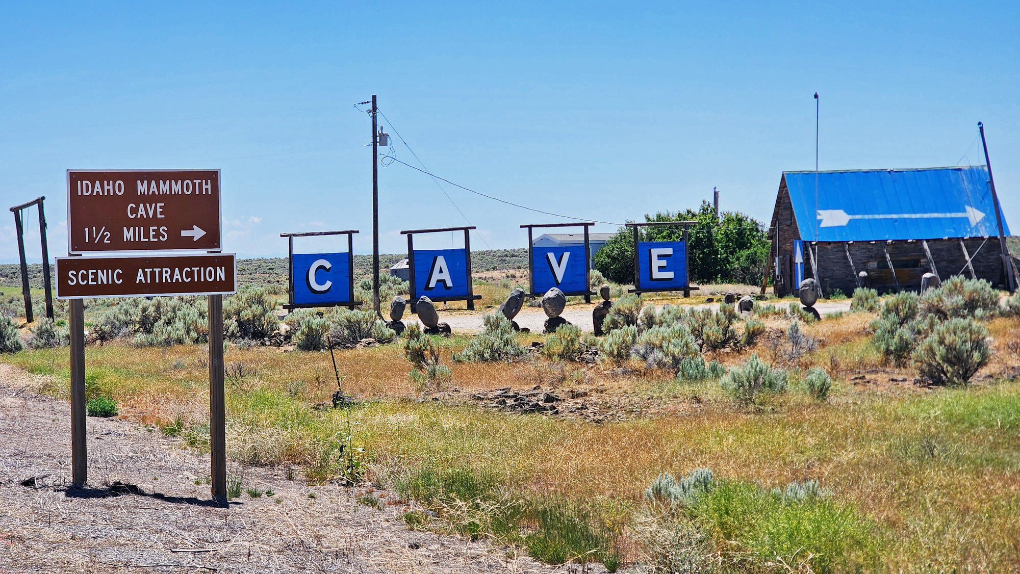
The shield volcano was a scenic change from the dreary high desert sagebrush. I passed the turnoff roads for two privately owned caves. The Ice Cave seems to be popular, with a guided tour every hour.
| Heart | 1 | Comment | 0 | Link |
The landscape is kind of dull and dreary after the shield volcano. The headwind slows me down but keeps me cool.

I saw several roadside memorials alongside ID 75. It's relatively busy, frequently icy during winter. Most fatalities probably happen during winter.

| Heart | 1 | Comment | 0 | Link |
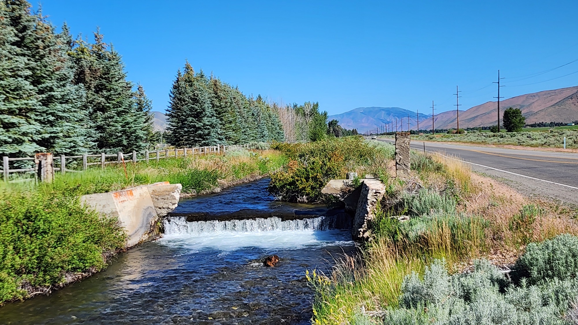
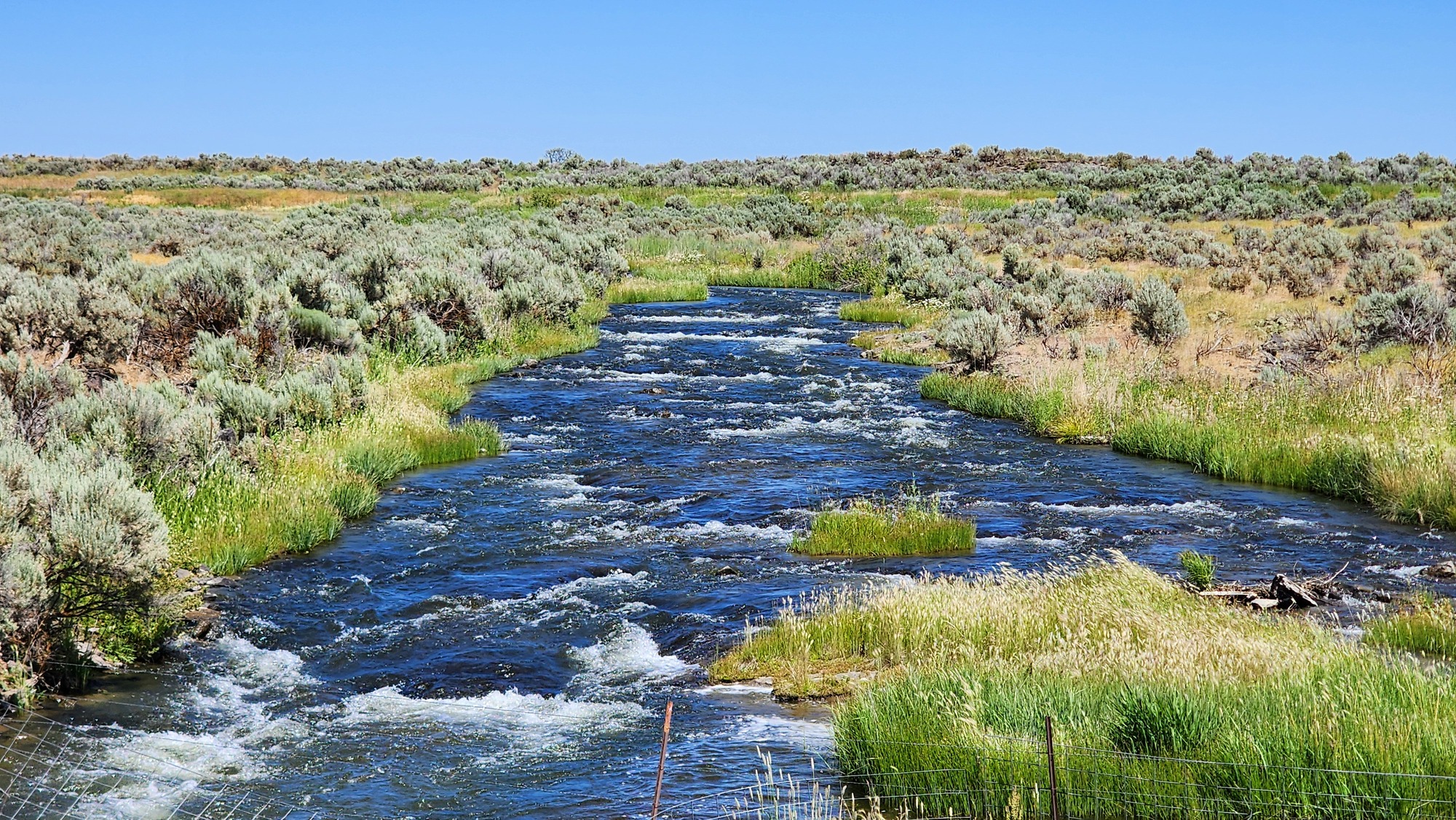
A few miles north of Shoshone I crossed the Big Wood river for the last time. The river looks respectably big even though much of the flow is diverted into irrigation canals.

From here the Big Wood river flows southwest 50 miles to connect with the Snake river. I will go 40 miles south to the Snake river in Twin Falls.
| Heart | 0 | Comment | 0 | Link |
The irrigated farms mostly grow forage to feed livestock. I passed several small feedlots today.

I saw an above ground concrete irrigation canal a few times. Good for them for spending the big money to reduce water loss.

Today is warmer than yesterday but still very pleasant. 83F when I arrived in Shoshone at 3:15 PM. High of 86F later after I was in my motel room. Blue sky all day. No afternoon clouds because I'm in High Desert now, no longer in the unstable Rocky Mountain climate.
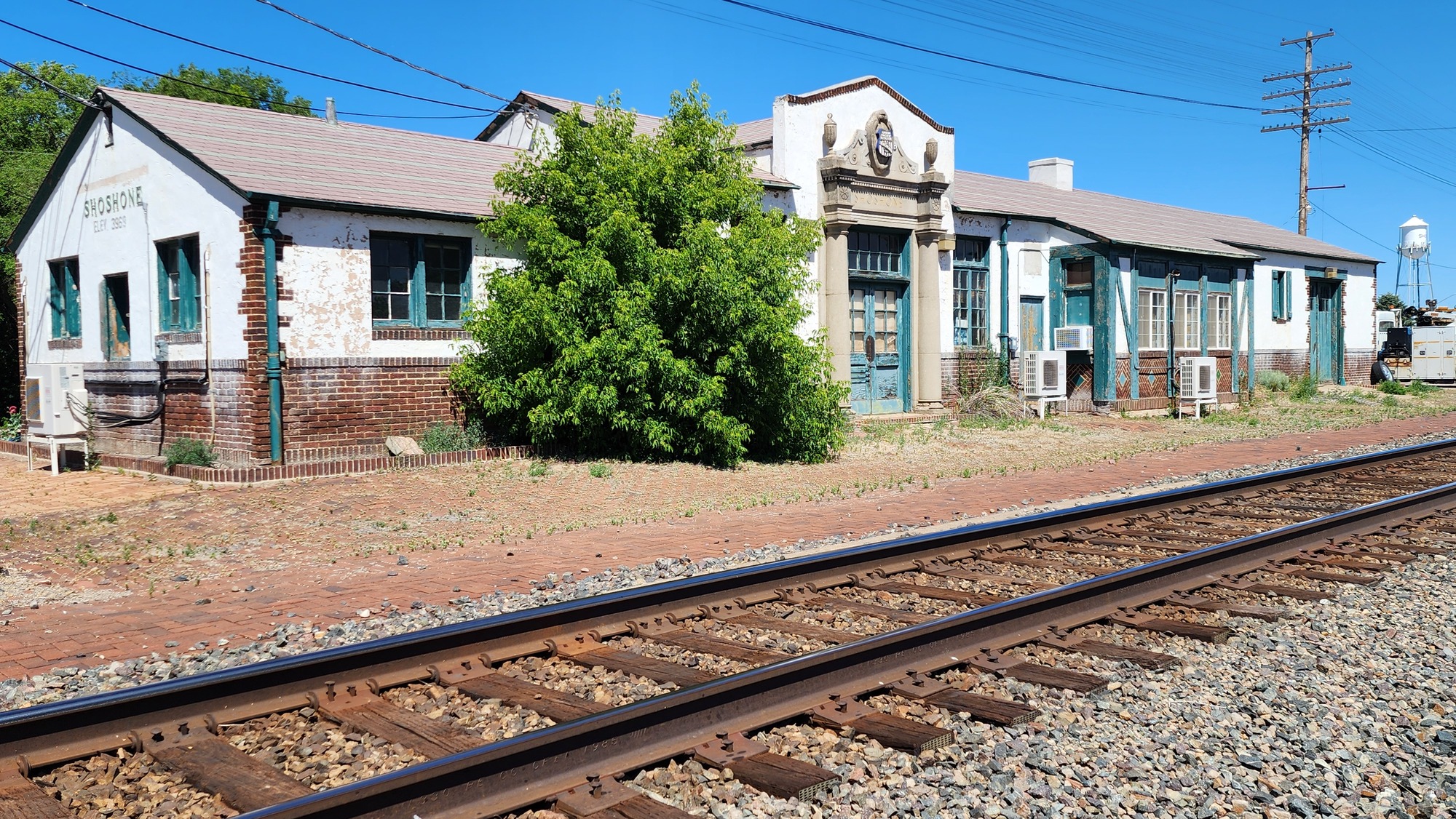
Shoshone was founded when Union Pacific railroad was king. It probably thrived until about 1960 when I-84 was built. Now it's sort of frozen in time because it's so far from I-84.
| Heart | 2 | Comment | 0 | Link |
Shoshone was the original gateway to Sun Valley. Wealthy passengers would travel to Shoshone by train, then drive a car 60 miles north to Sun Valley. Shoshone isn't dead. It's still the county seat and it's the supply center for a large area of irrigated farms.

Union Pacific railroad still runs freight trains, but no passenger trains use this route. It's not a busy track.
| Heart | 2 | Comment | 0 | Link |
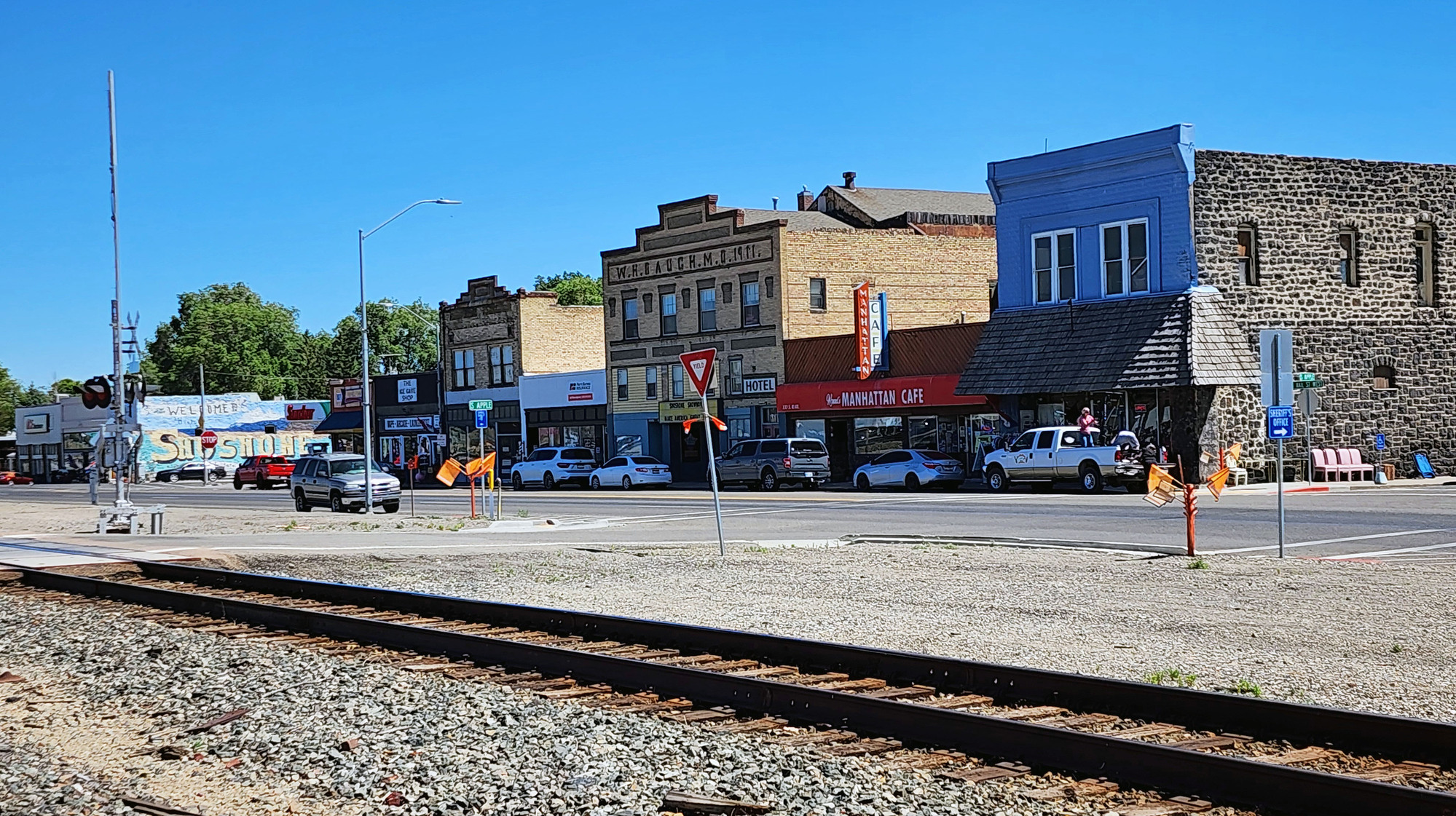
Shoshone has many interesting historic buildings. I like exploring towns that haven't built anything new in the last 75 years. Shoshone is more historic and charming than I expected. Population is 1757 now. The peak population was probably higher.

Shoshone is the name of a large Indian tribe. Many places use this name. In January I spent 5 nights in Shoshone, California (near Death Valley). Last year in Wyoming I pedaled through the town of Shoshoni and along the Shoshone river. The tribe inhabited a large swath of the Great Basin desert.


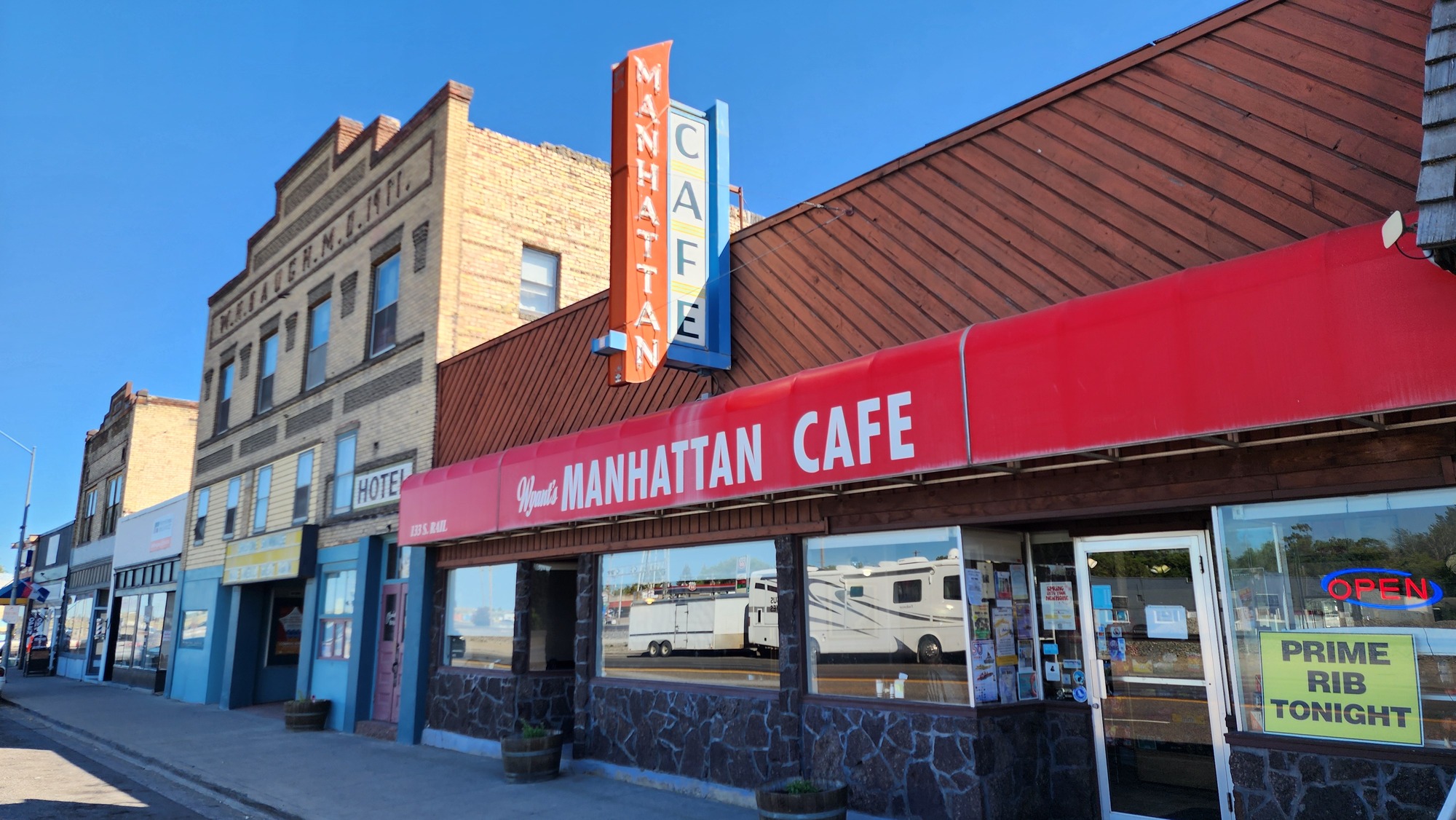
Today's route had no services for a lunch stop. At 4 PM I went to The Manhattan Cafe for an early dinner. It was already busy, kind of warm with no A/C. The only open restaurant in town.
| Heart | 3 | Comment | 0 | Link |
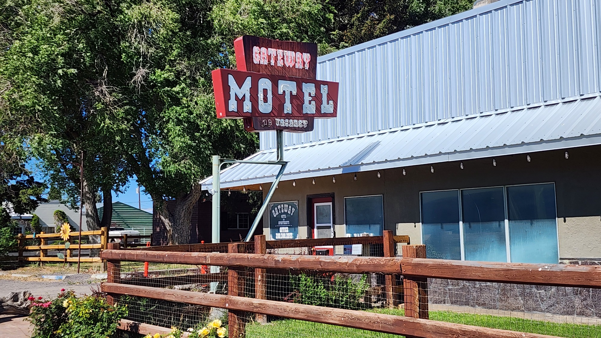
Tonight I occupy half of the two-room Gateway Motel, the only lodging in Shoshone. The room is old and rustic but it has A/C and a kitchenette. It's one of the cheapest rooms of the trip.
| Heart | 2 | Comment | 0 | Link |

Today was an easy downstream day despite the headwind and warmer temperature. I'm feeling good after two easy days. One more easy day to go...
Distance: 44.6 miles
Average Speed: 10.4 mph
Ascent/Descent: +460/-1557 feet
Today's ride: 45 miles (72 km)
Total: 633 miles (1,019 km)
| Rate this entry's writing | Heart | 5 |
| Comment on this entry | Comment | 0 |