June 12, 2021
Riding along a river

| Heart | 0 | Comment | 0 | Link |

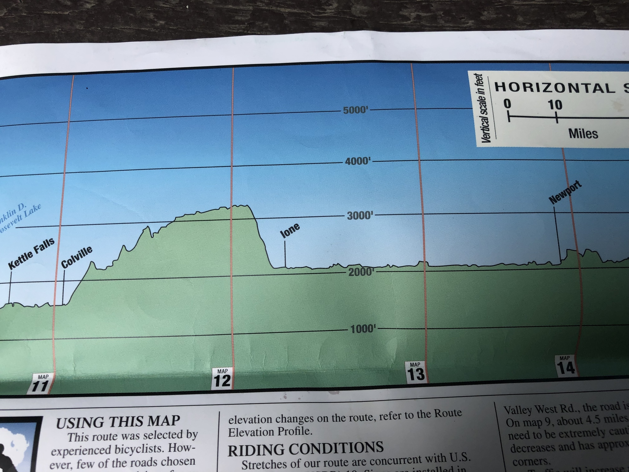
We were looking forward to an easier day today. The elevation profile showed a fairly flat ride today. The ride followed the Pend Oreille River the entire day. We rode LeClerc Road all day. On the other side of the river was the state highway, so our side had little traffic. The day started cloudy and a bit chilly. Throughout the morning we would run into short spans of showers. There were no services on the road. After 33 miles, we were getting hungry, maybe even a little hangry. Fortunately, we crossed the river to the small town of Usk, which had a convenience store and a bar and grill. We got a burger and a brat from the bar and grill and ate them on a picnic table next to a gas station.
After lunch we crossed back over the river to LeClerc road to ride to our final destination, Pioneer National Park campground. The weather turned very nice after lunch with mostly sunny skies and temps in the low 70’s. After another 18 miles we arrived at the campground. We took a spin around the campground looking for a camp site but they were all full. I went to the campground manager to ask if they had any suggestions. She said that she never turns away bicyclists and that we could camp behind her trailer on her site. We gratefully accepted and are now camping on her site and have use of a large picnic table.
I wanted to give a shout out to Janet and Ross. The riding for the first 2 weeks has been very tough and relentless. Janet and Ross have been great touring mates. We have tried to keep each other’s spirits up and give encouragement when we are having issues or tough times. Janet has had an especially tough time. She is not as strong as Ross and I, she has been very resilient on the climbs, making it the top of each pass. I am very proud of Janet and very lucky to have her on the trip.
Tomorrow our target is Sandpoint, which is in the state of Idaho. We are happy to see Washington in the rear view mirror.


Today's ride: 51 miles (82 km)
Total: 499 miles (803 km)
| Rate this entry's writing | Heart | 5 |
| Comment on this entry | Comment | 3 |
Bud
2 years ago
We will be in eastern Montana in about 10 days. The ACA route goes south at Wolfpoint and follows hwy 94 pretty much to Fargo. We will let you know the road conditions when we get there
Terry
2 years ago