October 9, 2022
Day 33: Stonehenge!
| Heart | 0 | Comment | 0 | Link |
I watched a YouTube documentary about Stonehenge, when I should have been asleep. The first most amazing thing about the production was that the presenter appeared to be alone. Not a tourist in sight. But next, the content was full of facts and suppositions about so many aspects of the site. Who made it? When? How? What are the different stones? What does their alignment mean? These are the very basic questions. But there were many more. Was the circle ever complete? How did they level it without a spirit level? Where did the workers come from? Was all of Britain involved? If yes, what was the political organization for that?
And on and on. How could I concentrate on it, since nominally I was asleep?
But the kicker came when they brought an archeologist into the discussion. Not only did she talk about laser scanning of each stone, various marks that had found on them and what it meant, but she went on to explain that even more significant than the circle and the stones was a whole bunch of stuff related to the surrounding plain and all that was being found out there. Boggle!
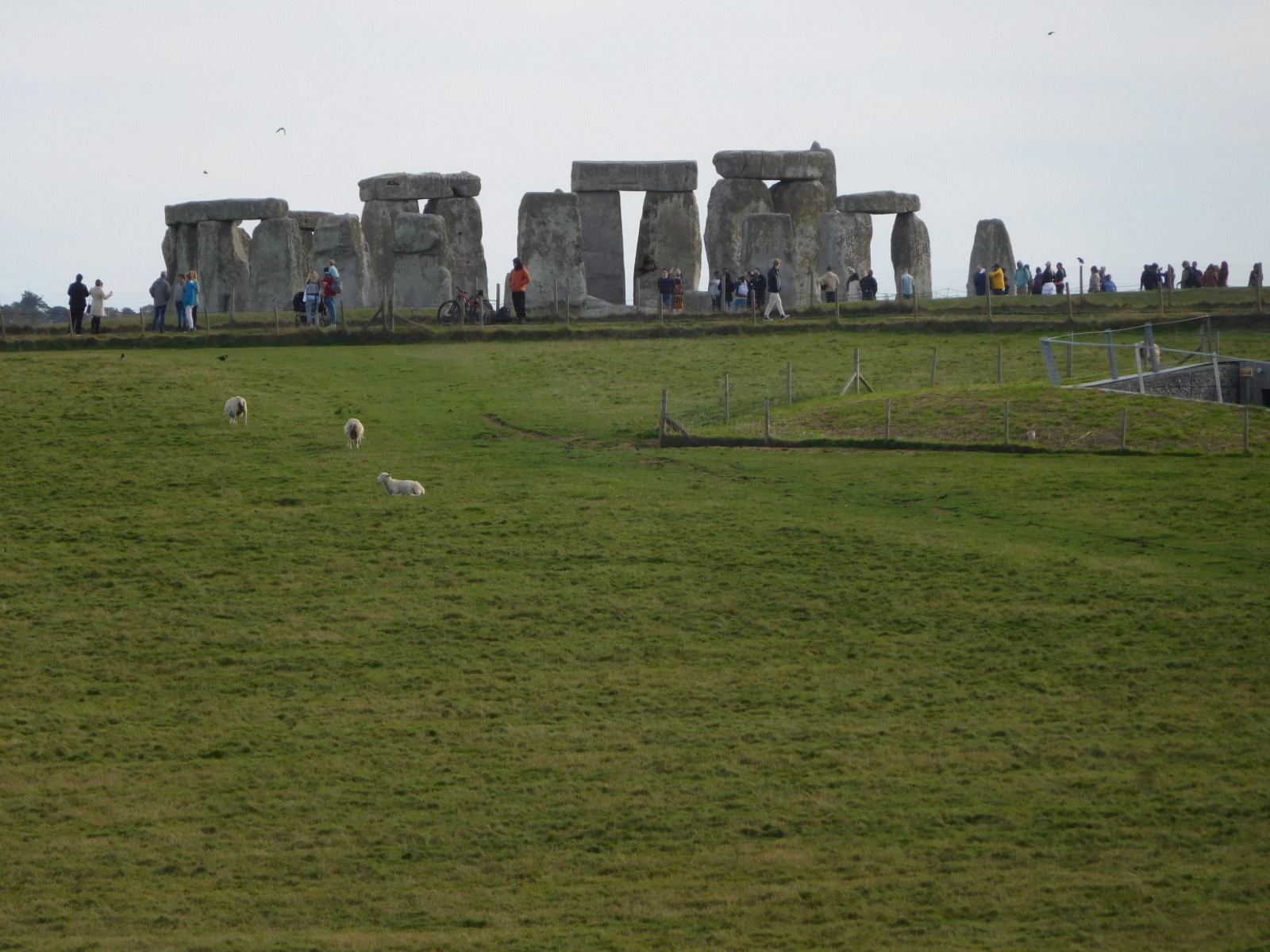
I am telling all this as a warmup to the fact that today not only did we cycle to the Stonehenge, but we swarmed over the plain and touched on three additional sites, each of them complex in its own right. We could only scratch the surface with any of them, but the news for us today was that these places exist here, beside or as part of Stonehenge.
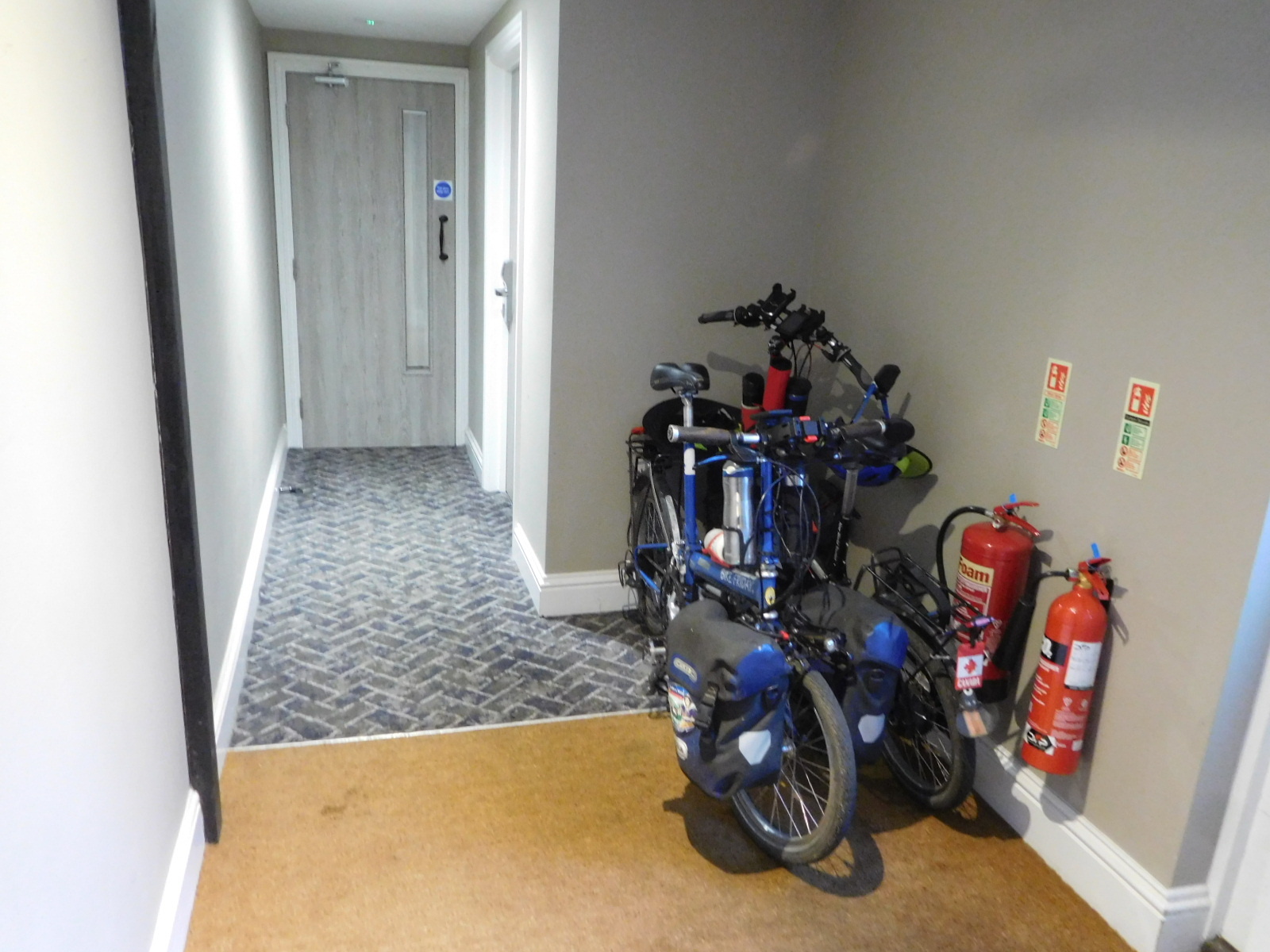
Let's back up to Steve waking up, and pulling that Youtube out of his ear. We were in a really super hotel called the The Merchant's House. What we liked so much was firstly that the bikes had a safe and warm inside hallway to rest in. And we had a super rarity in England, a ground floor room that not only was not up stairs but our door opened directly to the outside. We could go out and check on our bag of food cooling outside, or go through an easy door and visit the bikes, or importantly, pull them out and load them without involving any staff.
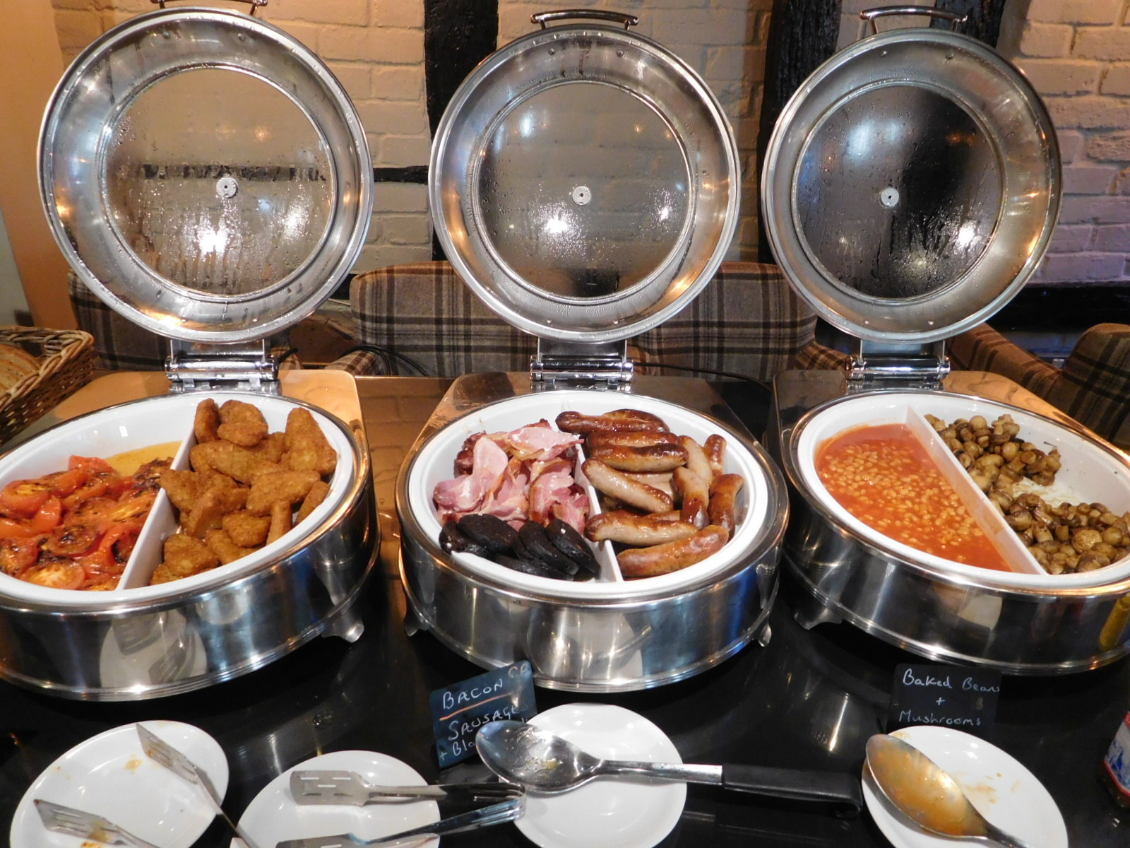
Breakfast here was costly, at 10 pounds each, but we went for it to save time searching up something else. It turned out to be the "ten jammer" of English breakfasts. That's a rating in comparison with others in England. An English ten jammer would rate really low on a German scale.
The high rating comes from the quality of preparation, and the fact that it was buffet style. Also the chef came out (wearing a chef's hat) and asked if there was anything else he could do for us. We told him we thought his breakfast was really good, for England, but went on to mention Germany. He knew about Germany, and said that except that he is not on tomorrow, he would whip up something competitive for us, mentioning home made jam and French toast.

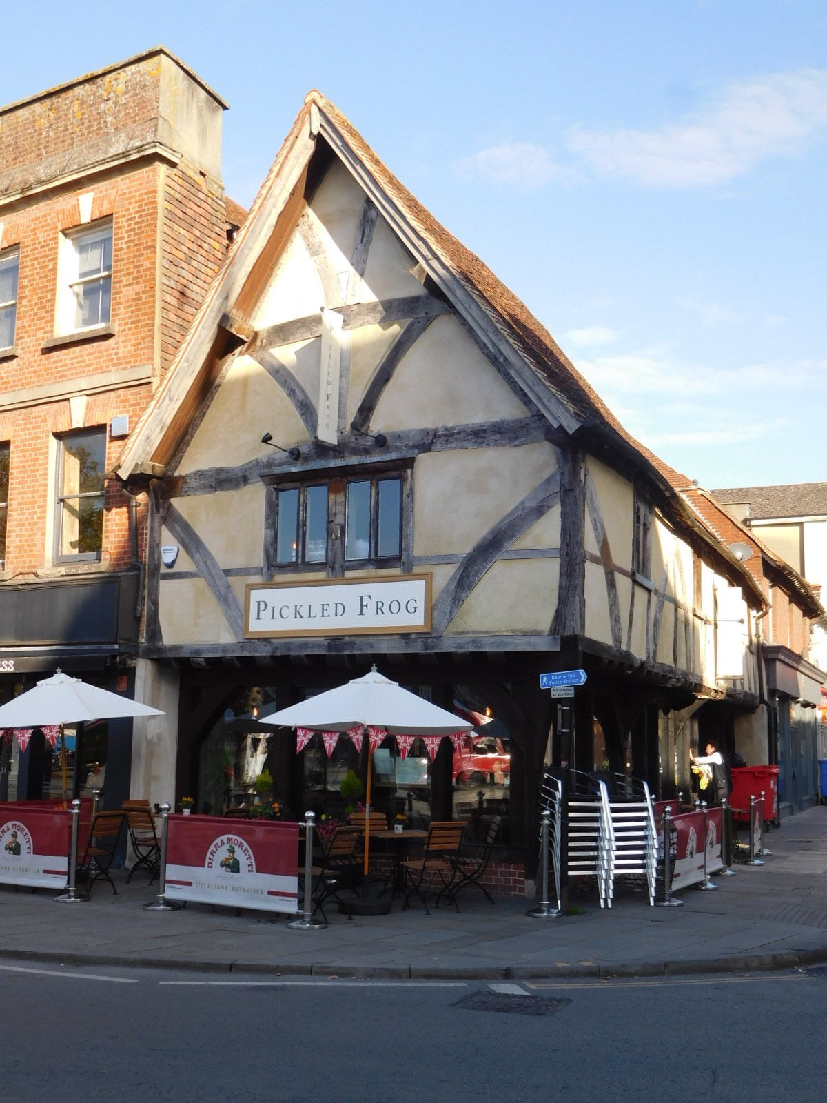
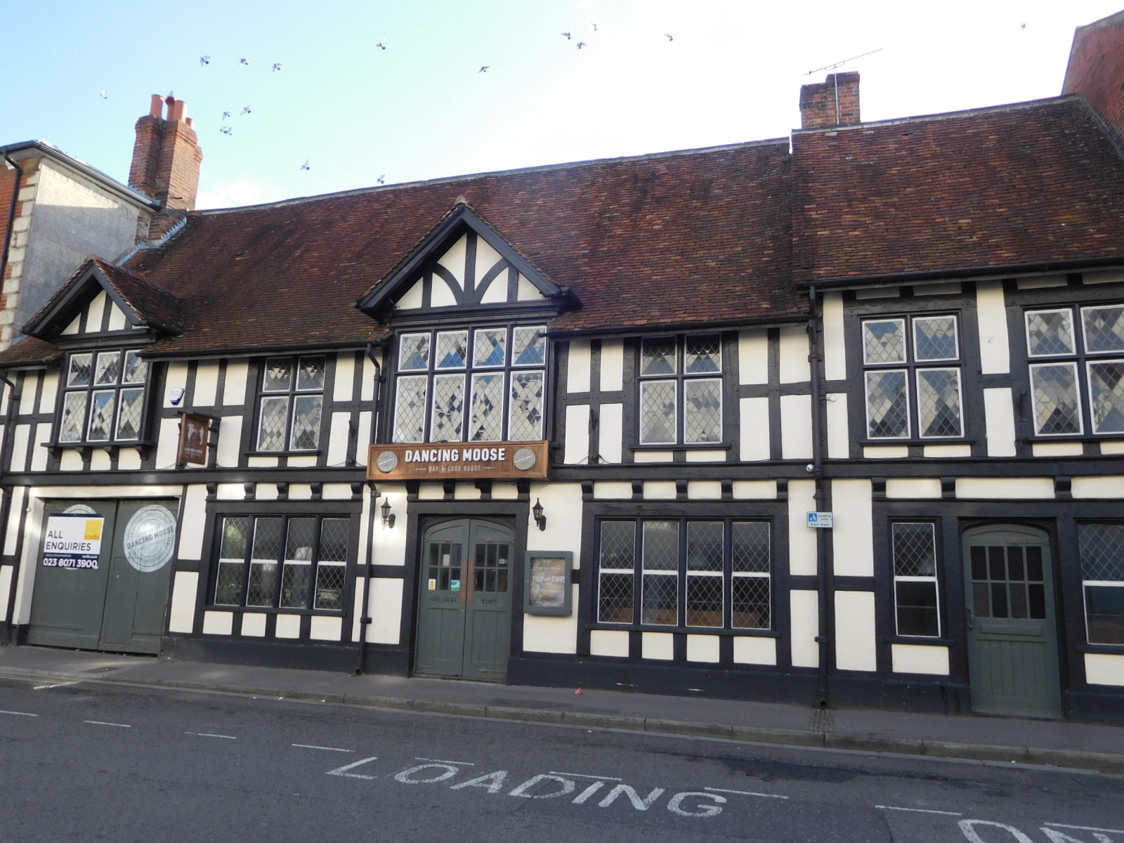
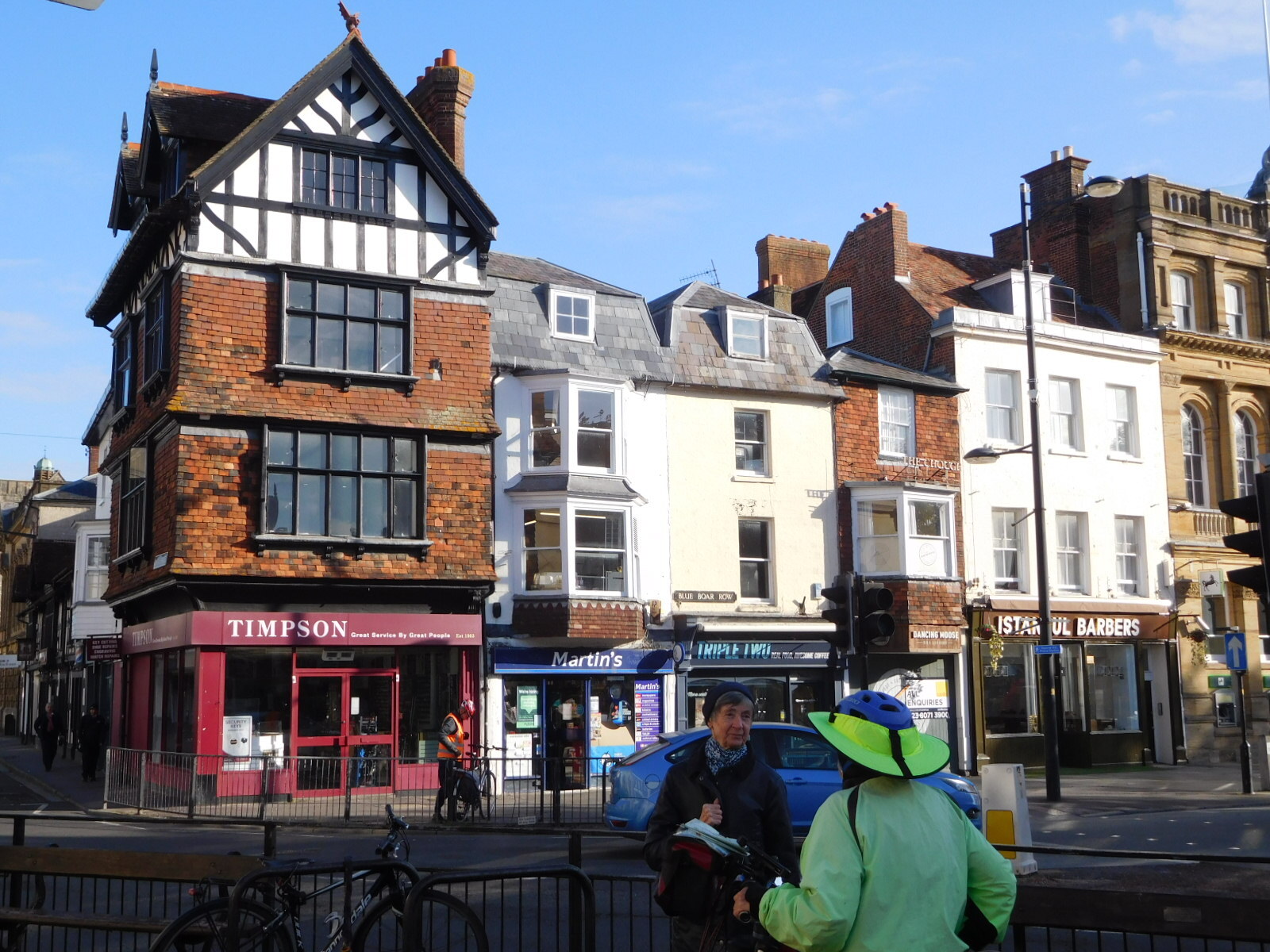
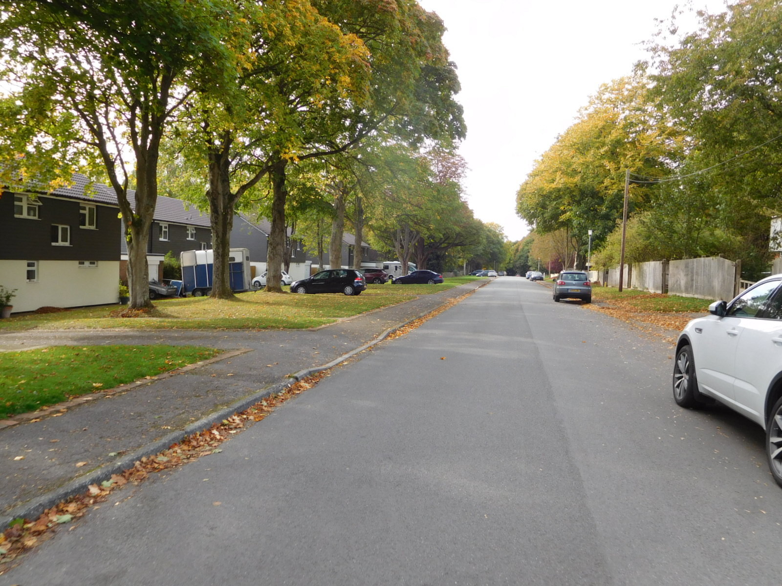
We set off through the town, noting that especially on this Sunday morning it was quiet and pleasant. We spotted again some of the heritage buildings from yesterday, and some new ones too, like these:
| Heart | 2 | Comment | 1 | Link |
1 year ago
| Heart | 4 | Comment | 0 | Link |
| Heart | 5 | Comment | 0 | Link |
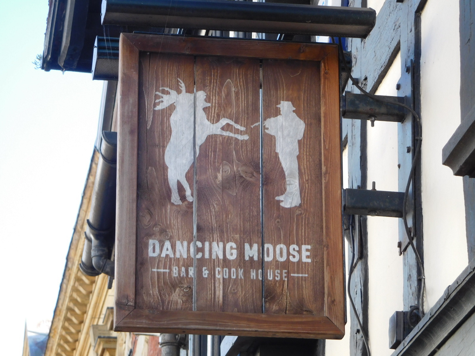
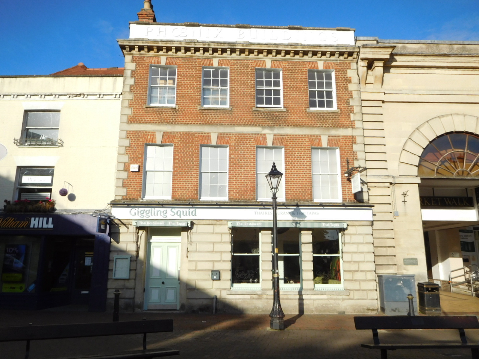
Not a heritage building but significant nonetheless is this one with the "Giggling Squid" Thai restaurant. This is one the Andersons liked when they were here. It's always fun to follow in the tracks of other Cycleblazers.
| Heart | 1 | Comment | 1 | Link |
1 year ago
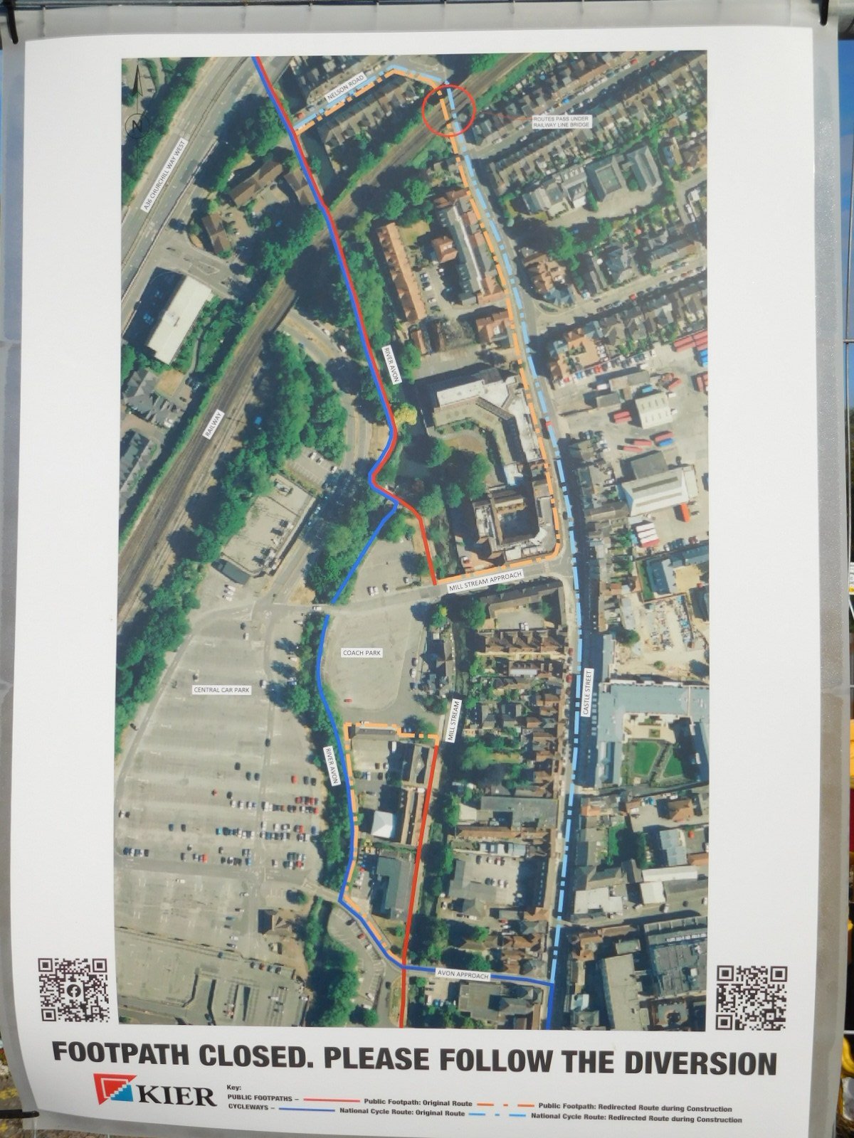
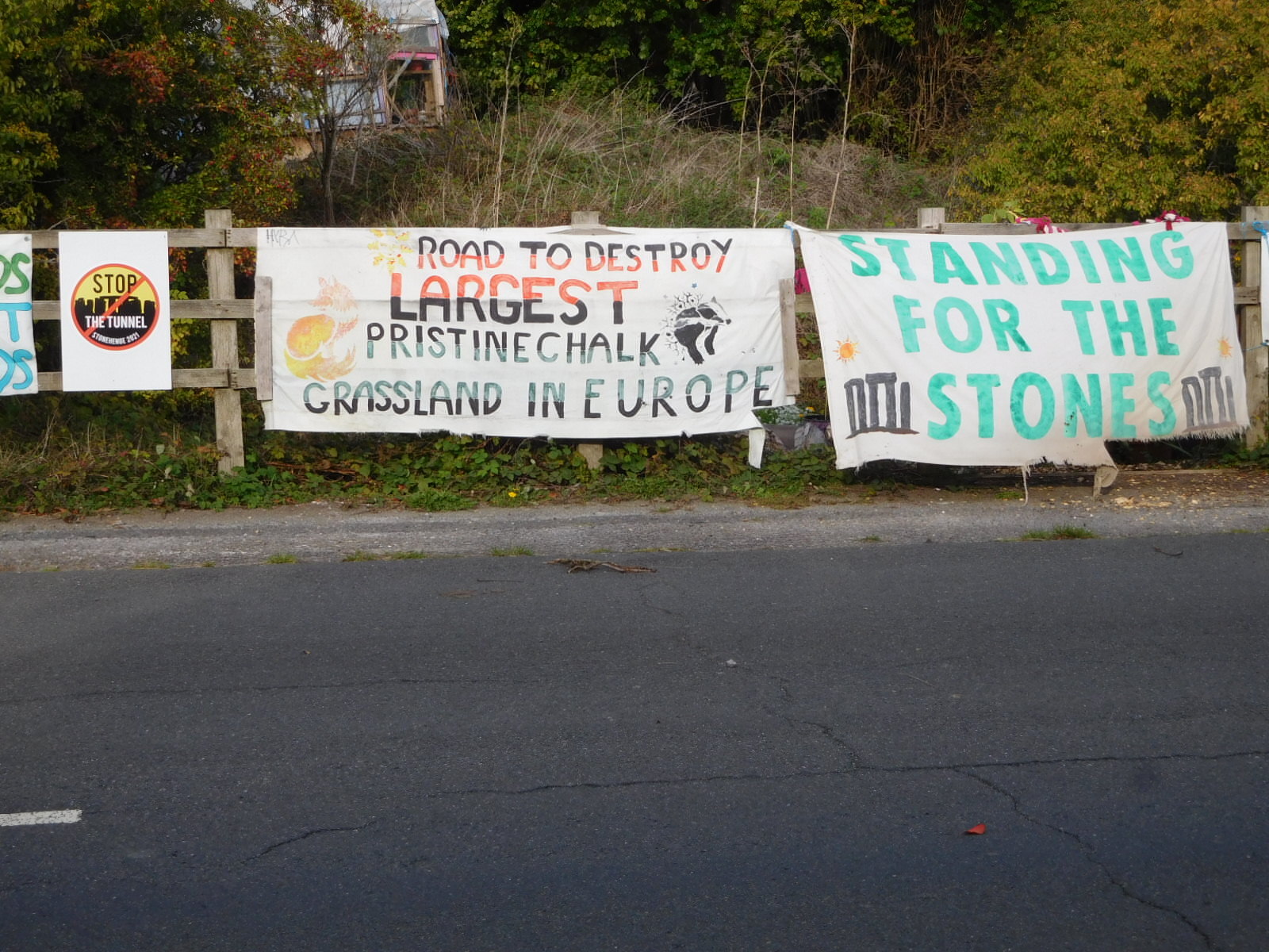
Along these same lines of following the Andersons, we had read their account of going to Stonehenge - and finding a fee free way in - and also cycling between there and Salisbury. We had that, we had a great map called "Salisbury to Stonehenge, Cycling and Bus Walks Map" - from "Connecting Wiltshire", and we had the track of NCN 45. So we were all set, right?
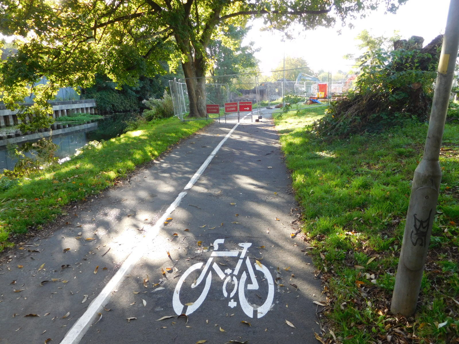
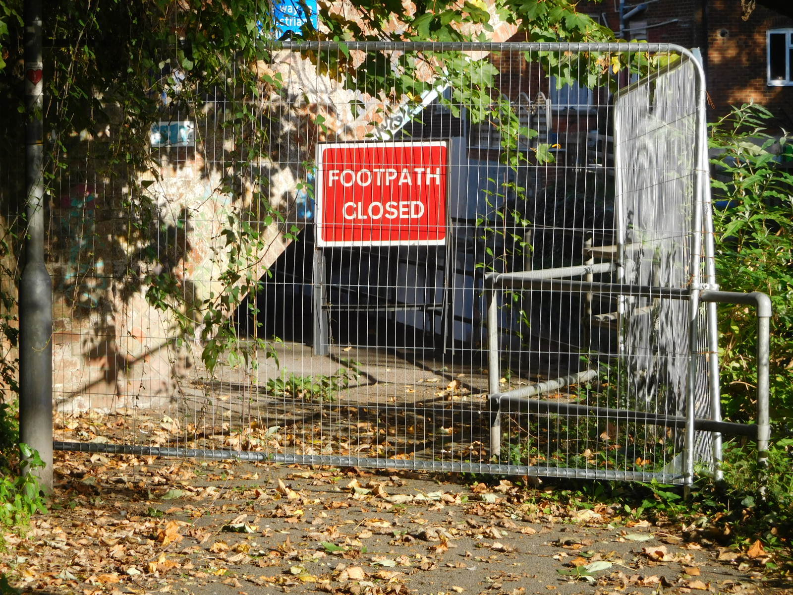
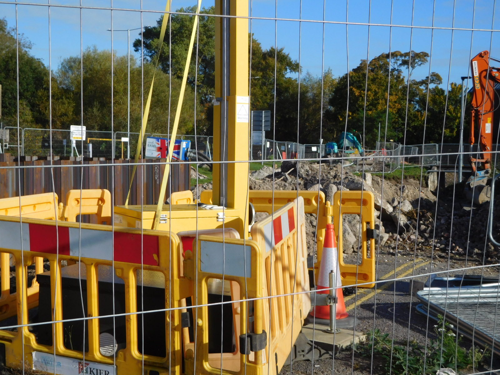
Well not so fast, because of course early on the way had been ripped up by construction.
| Heart | 2 | Comment | 0 | Link |
| Heart | 1 | Comment | 0 | Link |
Not finding the detour map helpful, we just sort of cast around for a while, and found a way through. An important cost of an impediment like this is in time wasted. If the schedule is tight, such as to avoid nightfall, it can be trouble. Fortunately the rest of the route was good, and mostly good wayfinding by Dodie gave us the time we needed to hit all our four hoped for sites.
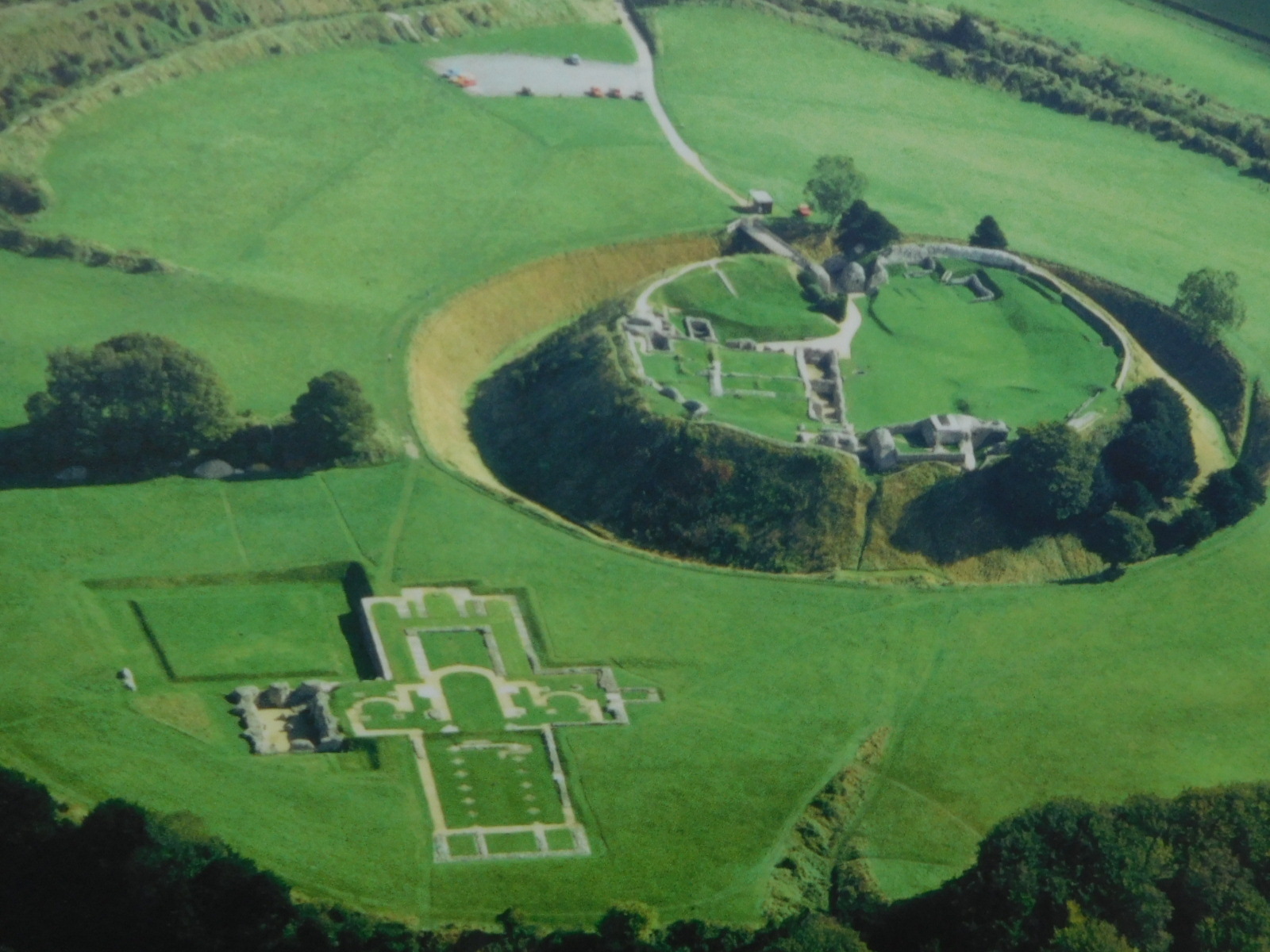
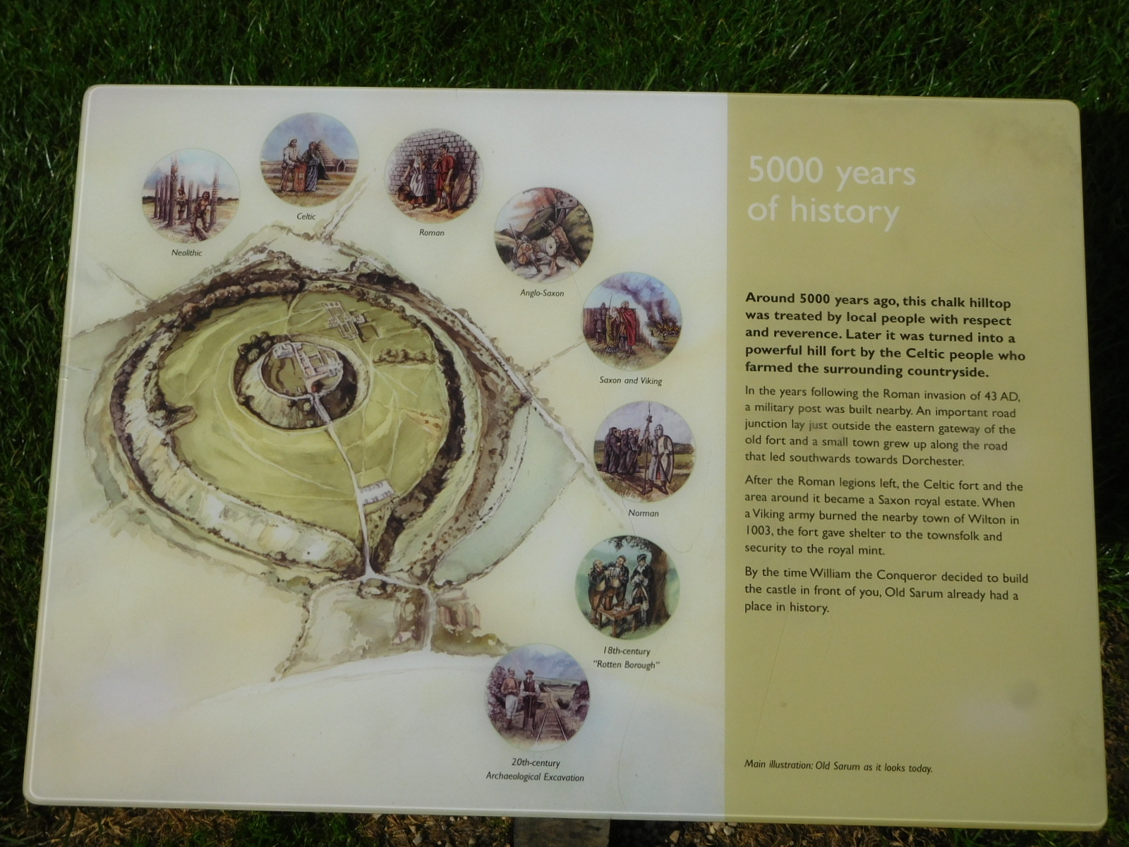
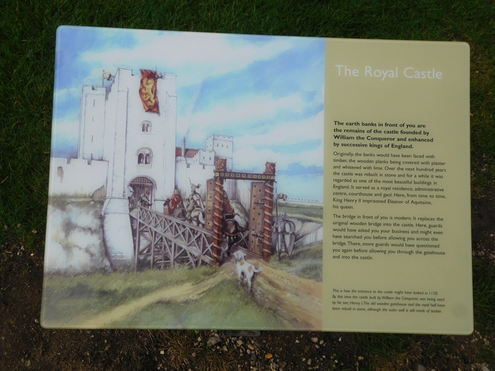
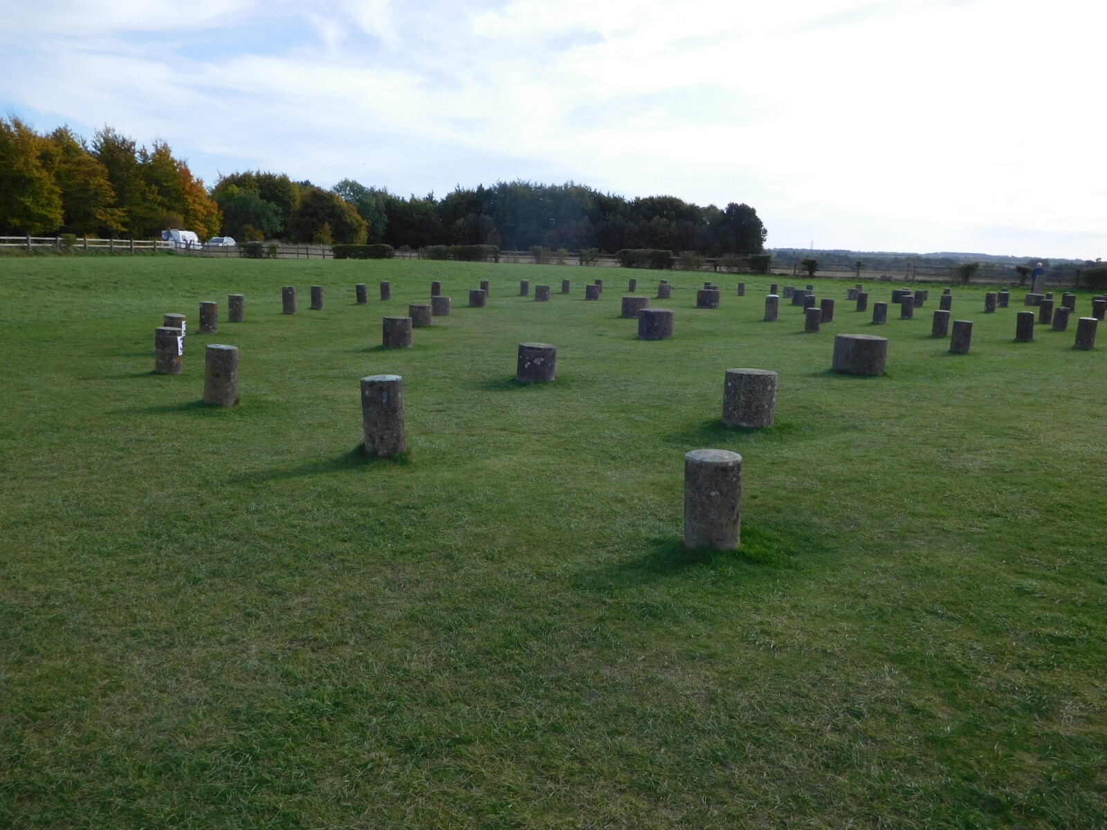
The four sites we had in mind began with Old Sarum. This is a hill that has had many uses in pre-history and history, most notably the original site of the Cathedral, and the site of a fort built by William I. Next up was Woodhenge, a place where there had been six concentric ovals of standing posts, and like Stonehenge aligning with the sun at equinox. Then nearby was the mysterious Cuckoo Stone, and finally Stonehenge itself, which we planned to "sneak" into.
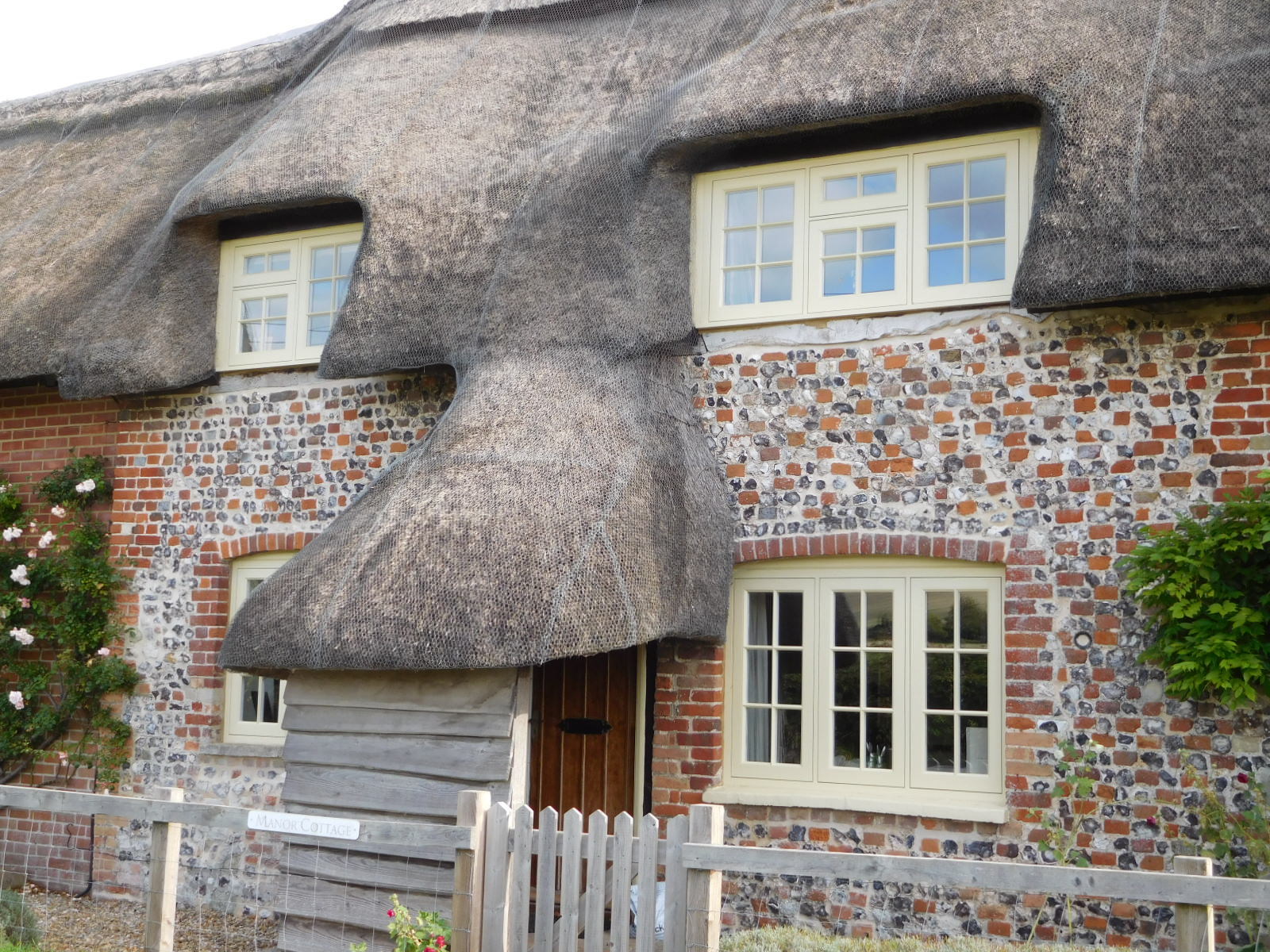
The road that mostly took us to these sites was up and down, but most notably brought us past a wealth of houses that were examples of thatch, or flint, or chequerboard wall, or other typical and interesting construction details. As much as our target sites, these houses provided the interest for the day. Here is a look at a bunch of them.
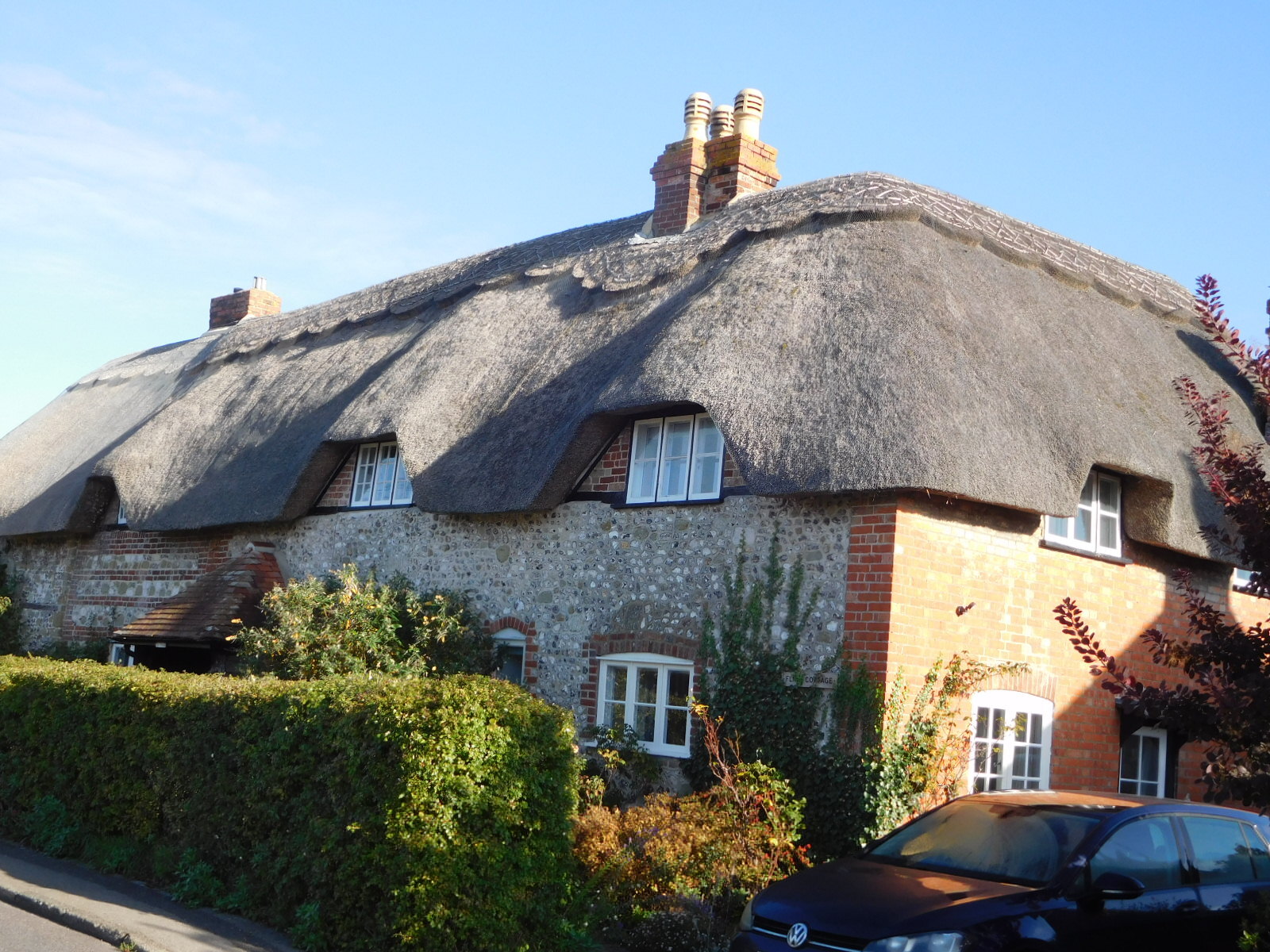
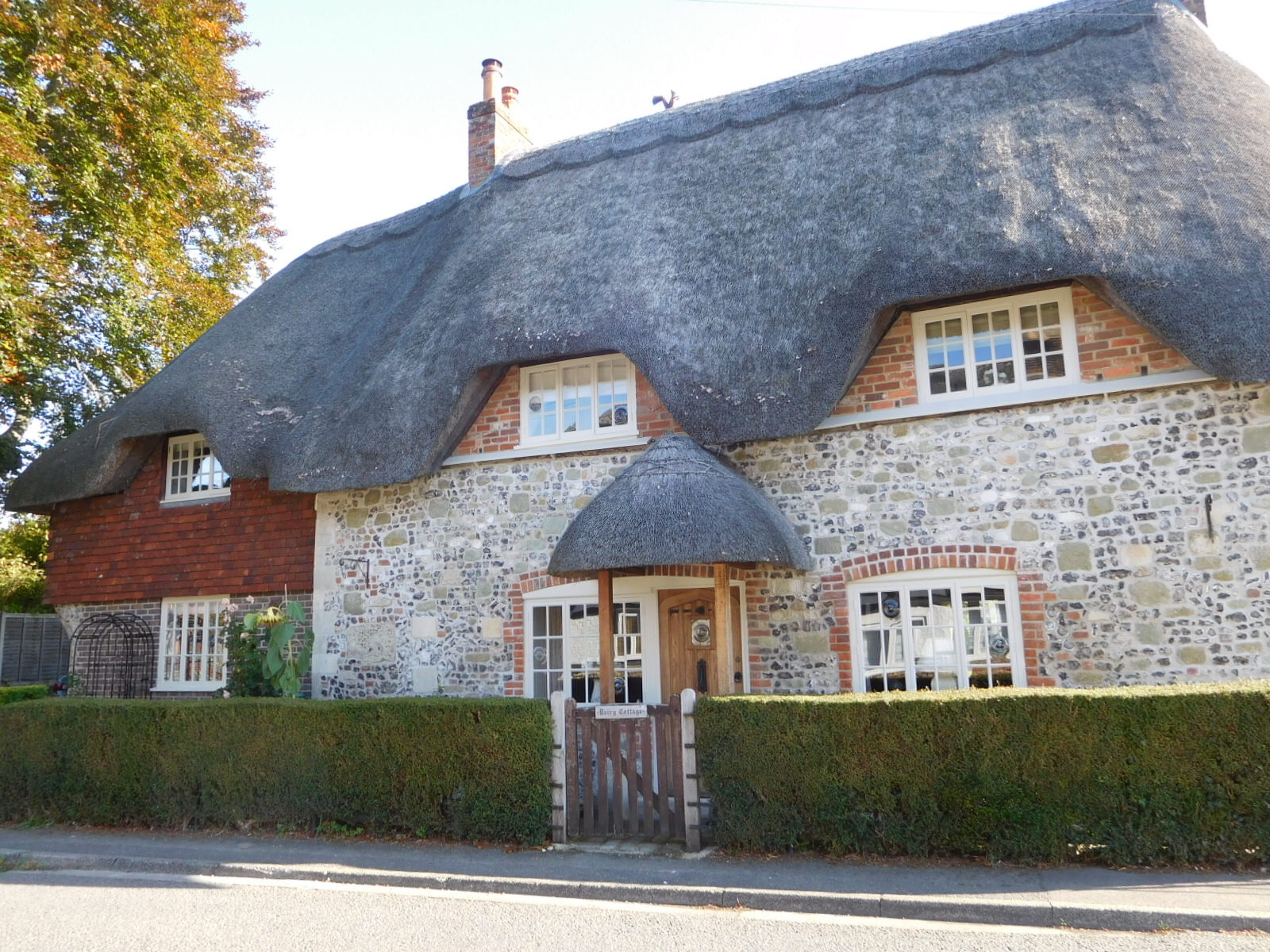
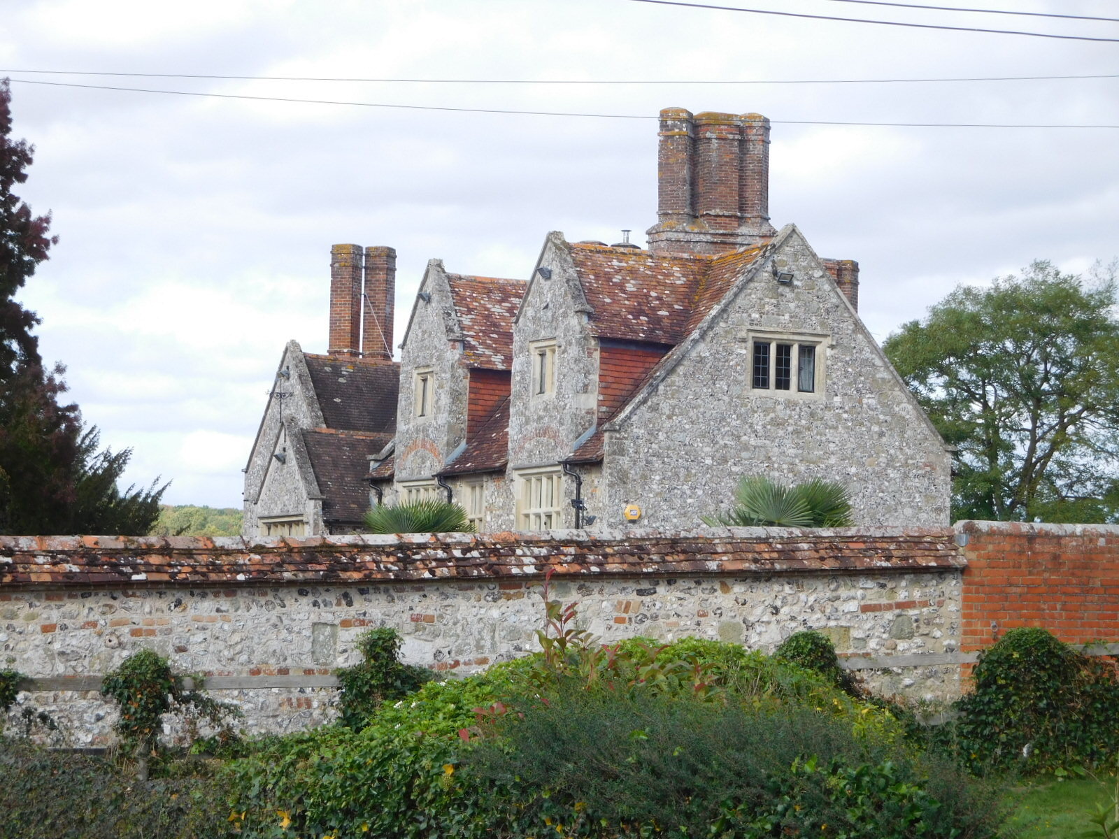
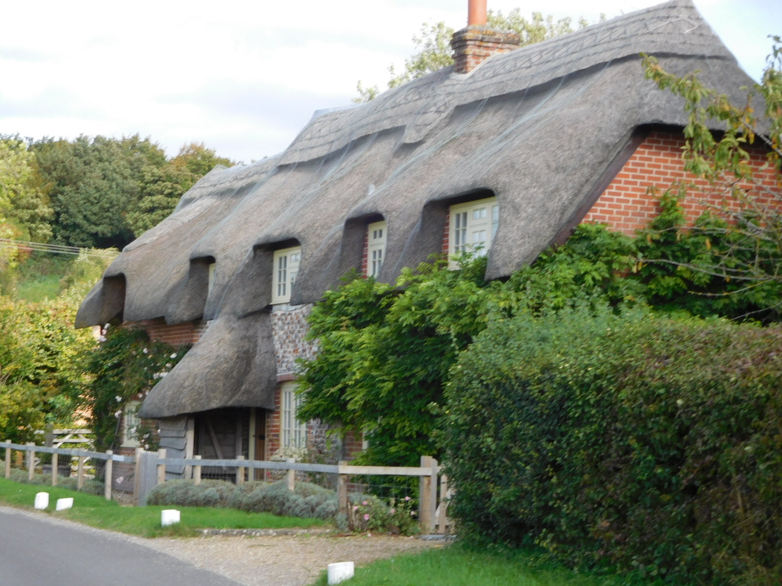
| Heart | 6 | Comment | 0 | Link |
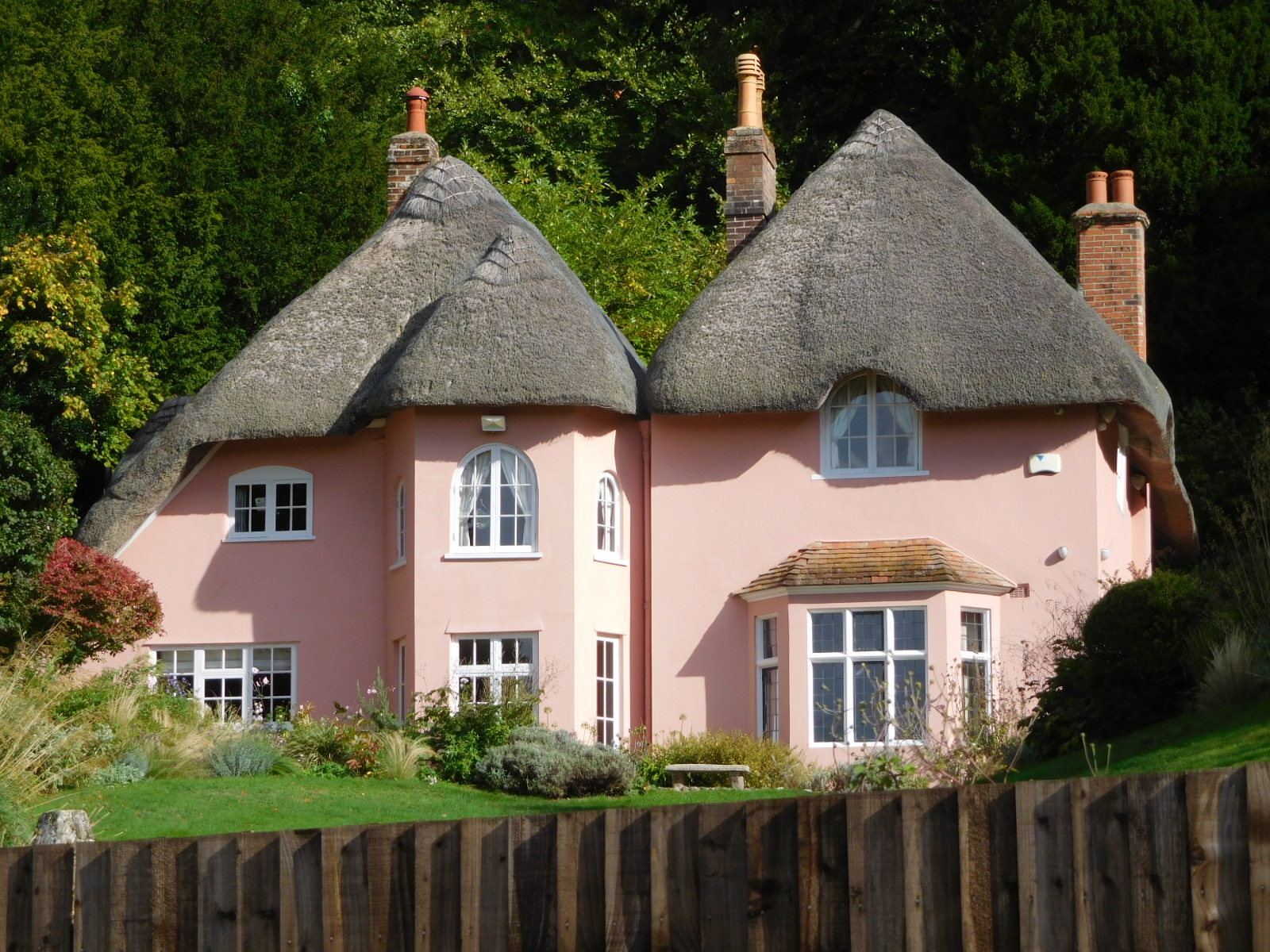
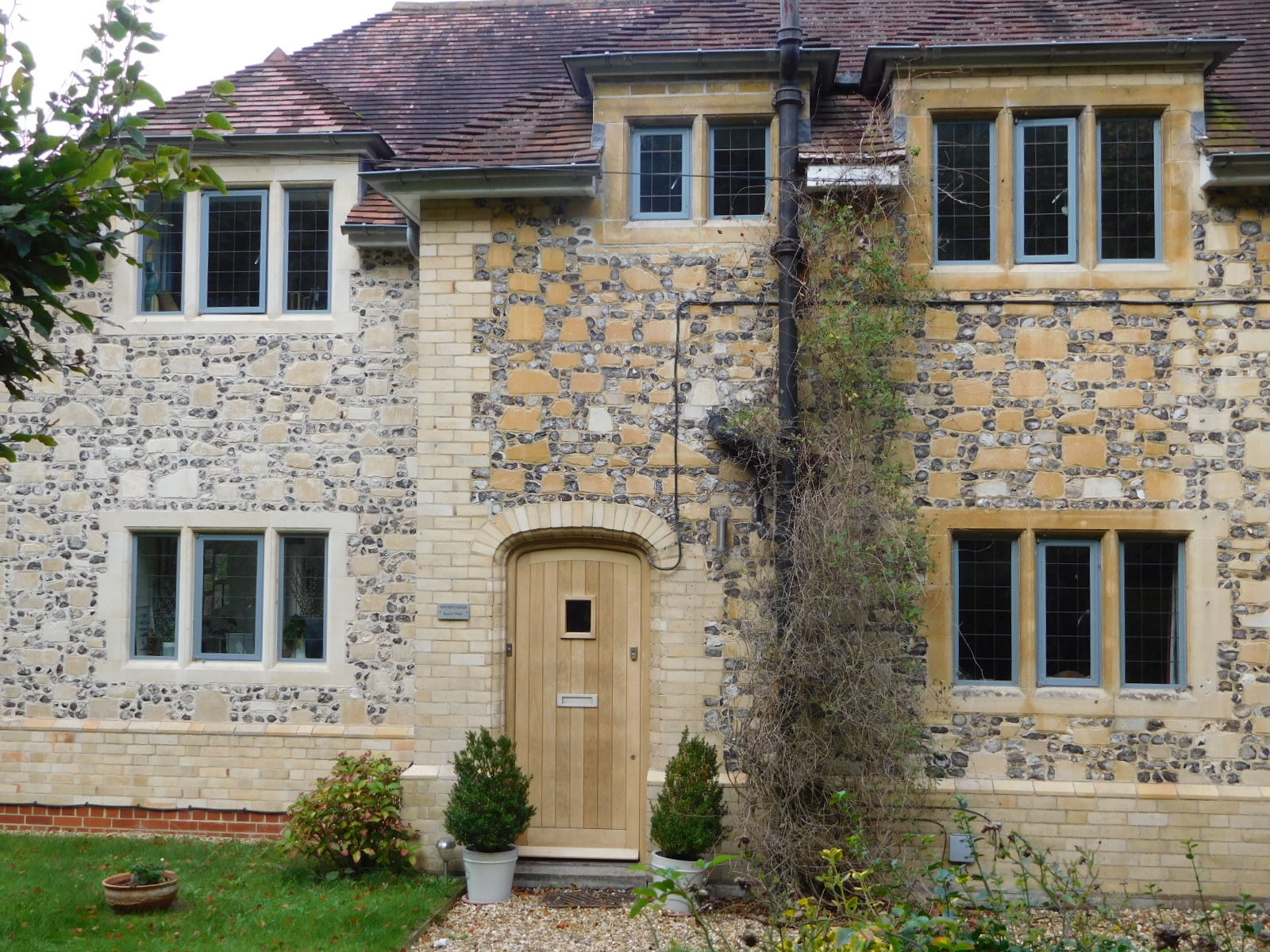
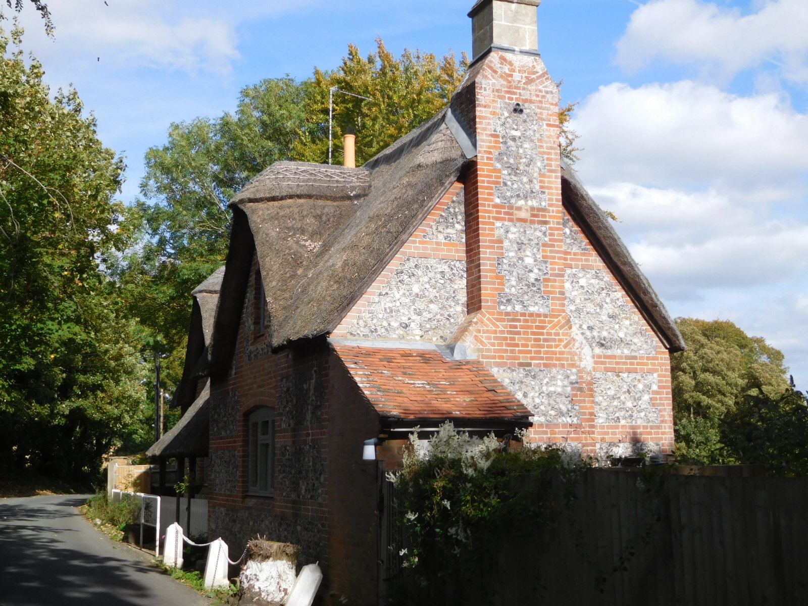
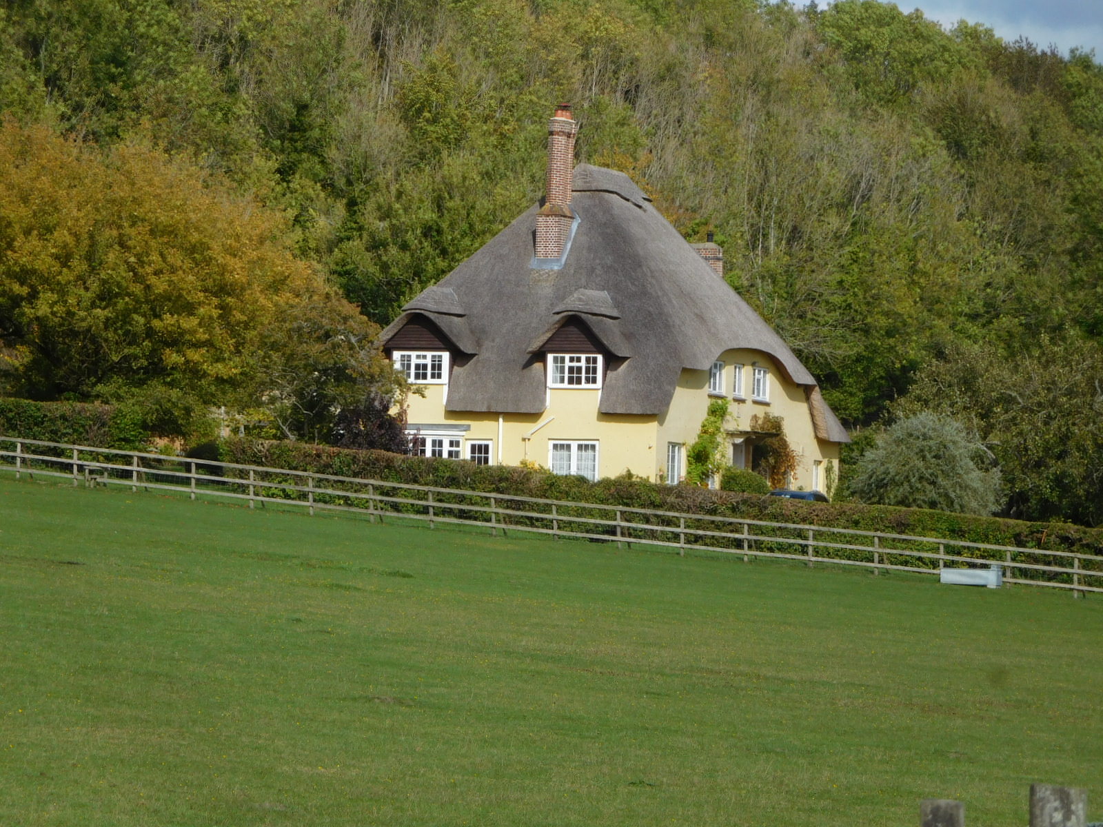
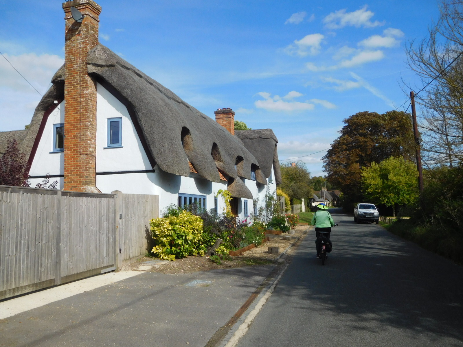
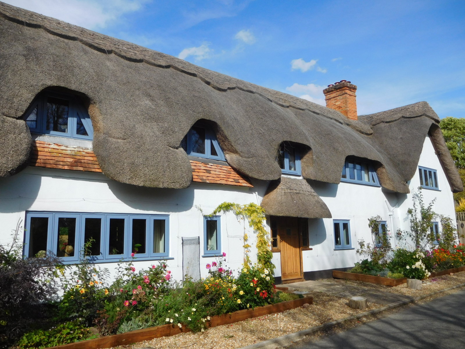
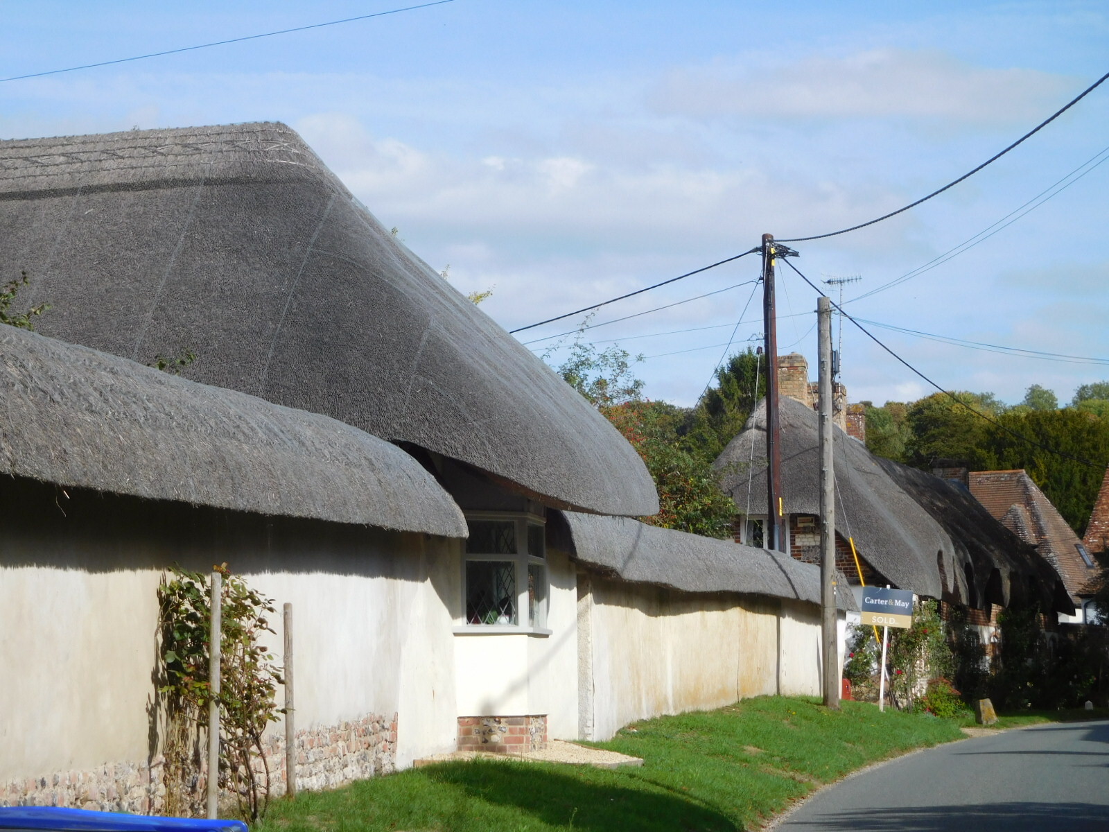
These houses really made the ride enjoyable. This region really is something special.
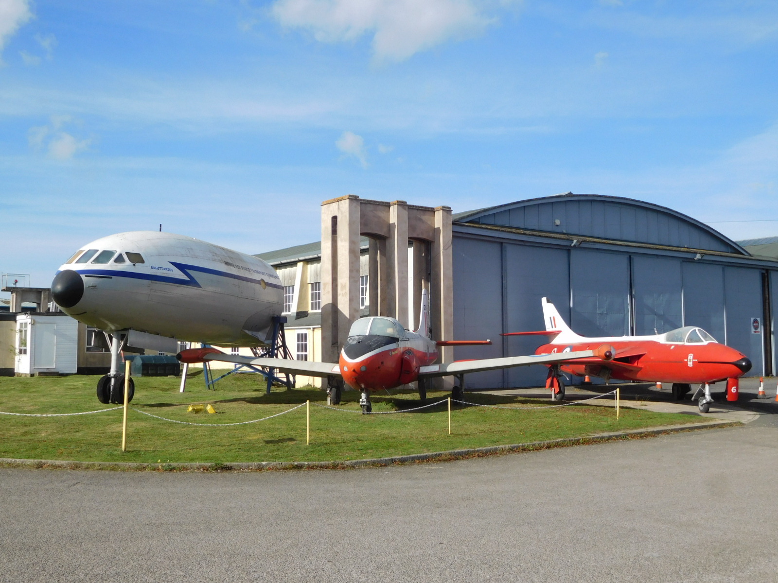
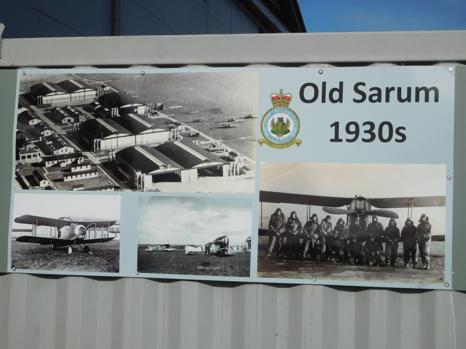
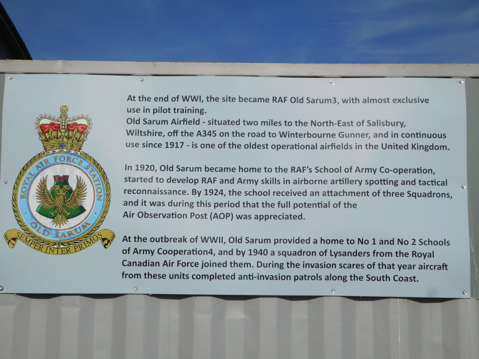
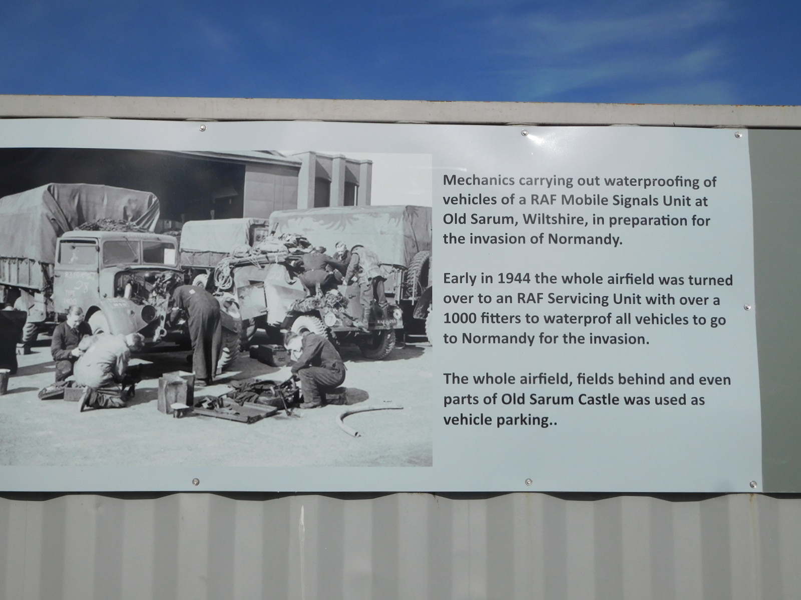
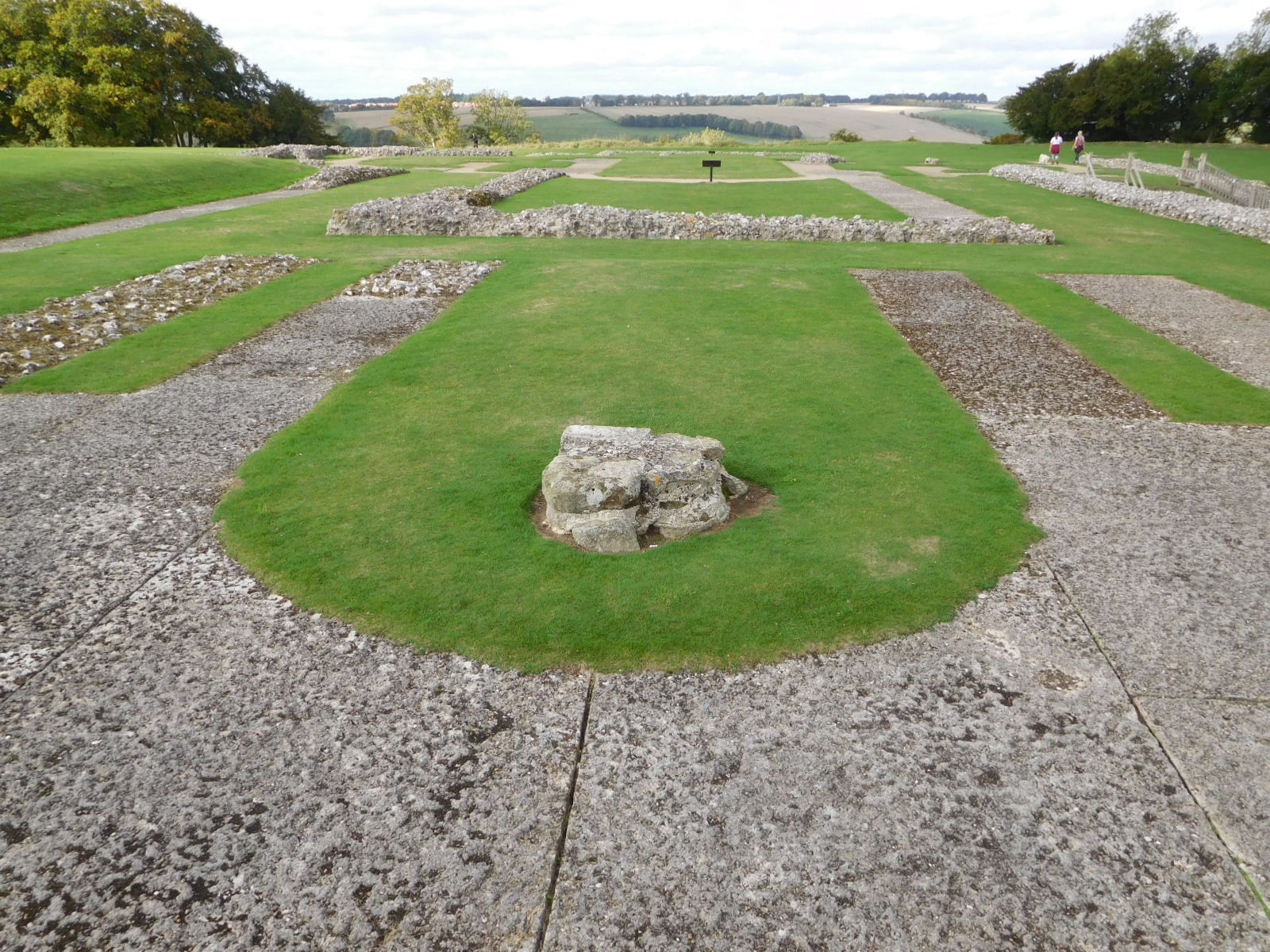
The road to the Stonehenge area, jut west of Amesbury, is sbasically a straight shot north, beside the Avon river, until the needed twiddles when you are almost there. But we deviated to the east to catch Old Sarum. We found, as often in other places, that the various cycling direction signs for Old Sarum tended to be misleading. We still tried to follow them as a supplement to our GPS, which tends to jump around a lot in indicating where we are. This time, we later realized, we rode right past the giant hill. It was disguised by hedges. We landed up, however, in an interesting spot, which was the Old Sarum airfield, with the Boscomb Down aviation collection inside a hangar. The airfield was an important RAF site in WWII, and the hangar has dozens of vintage planes, including many later era jet fighters.
| Heart | 2 | Comment | 0 | Link |
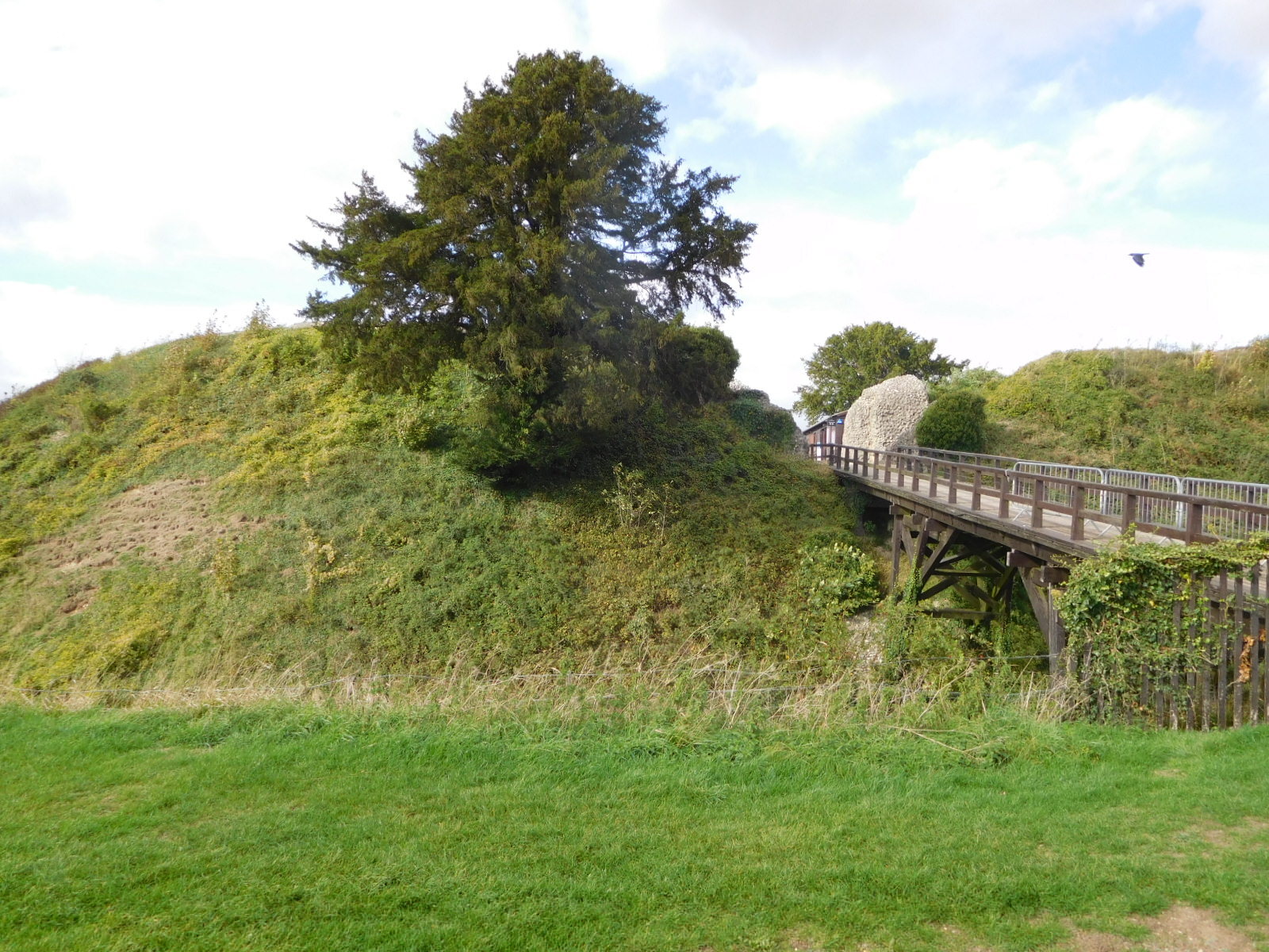
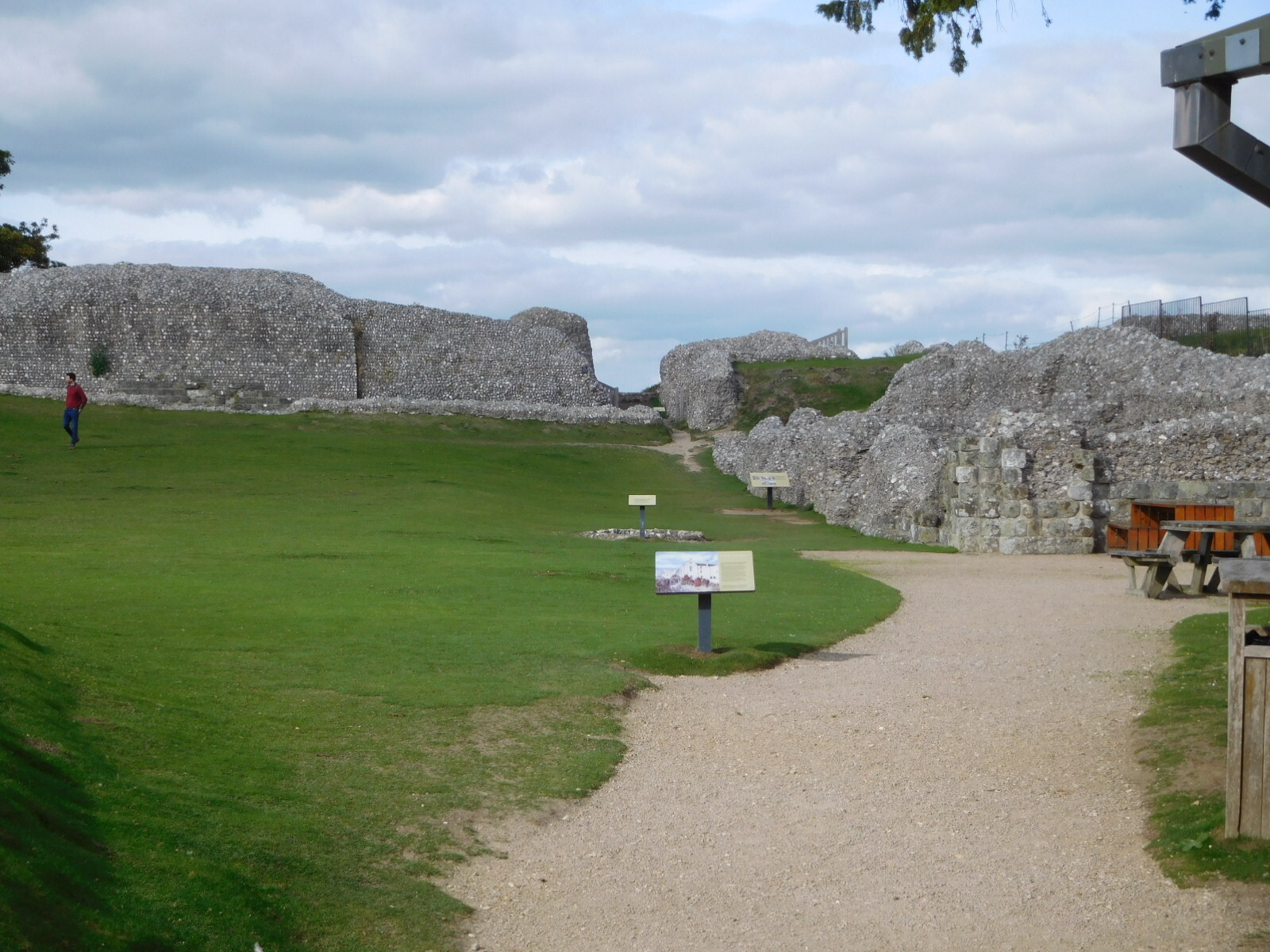
Of course we had not included vintage planes in our plans, so we turned around an d continued to search for the hill and the castle of William I. It was very nearby all along and we just somehow did not see this huge thing. But then, yes, there it was.
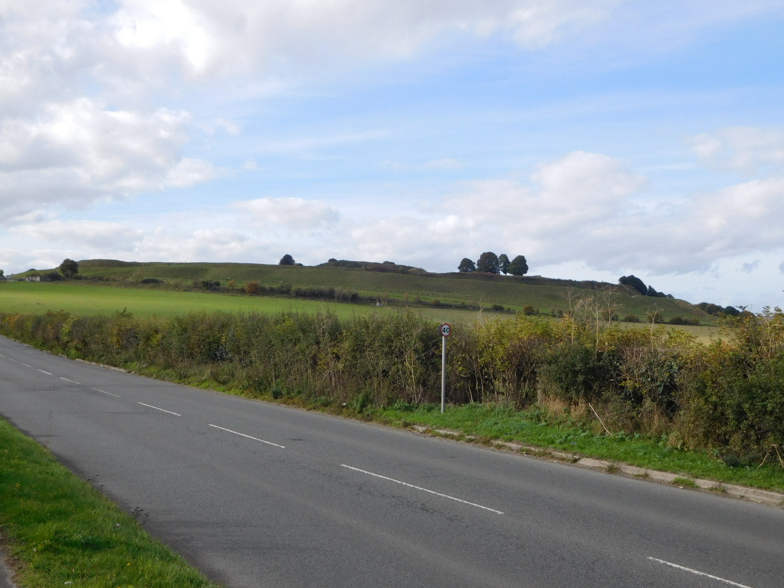
We cycled up, passing what you can see in the photo as the outer trench, and parked the bikes for the walk to the inner mound, which is protected by a very deep ditch (but not moat - water is scarce on this chalk soil).
| Heart | 5 | Comment | 0 | Link |
| Heart | 1 | Comment | 0 | Link |
| Heart | 1 | Comment | 0 | Link |
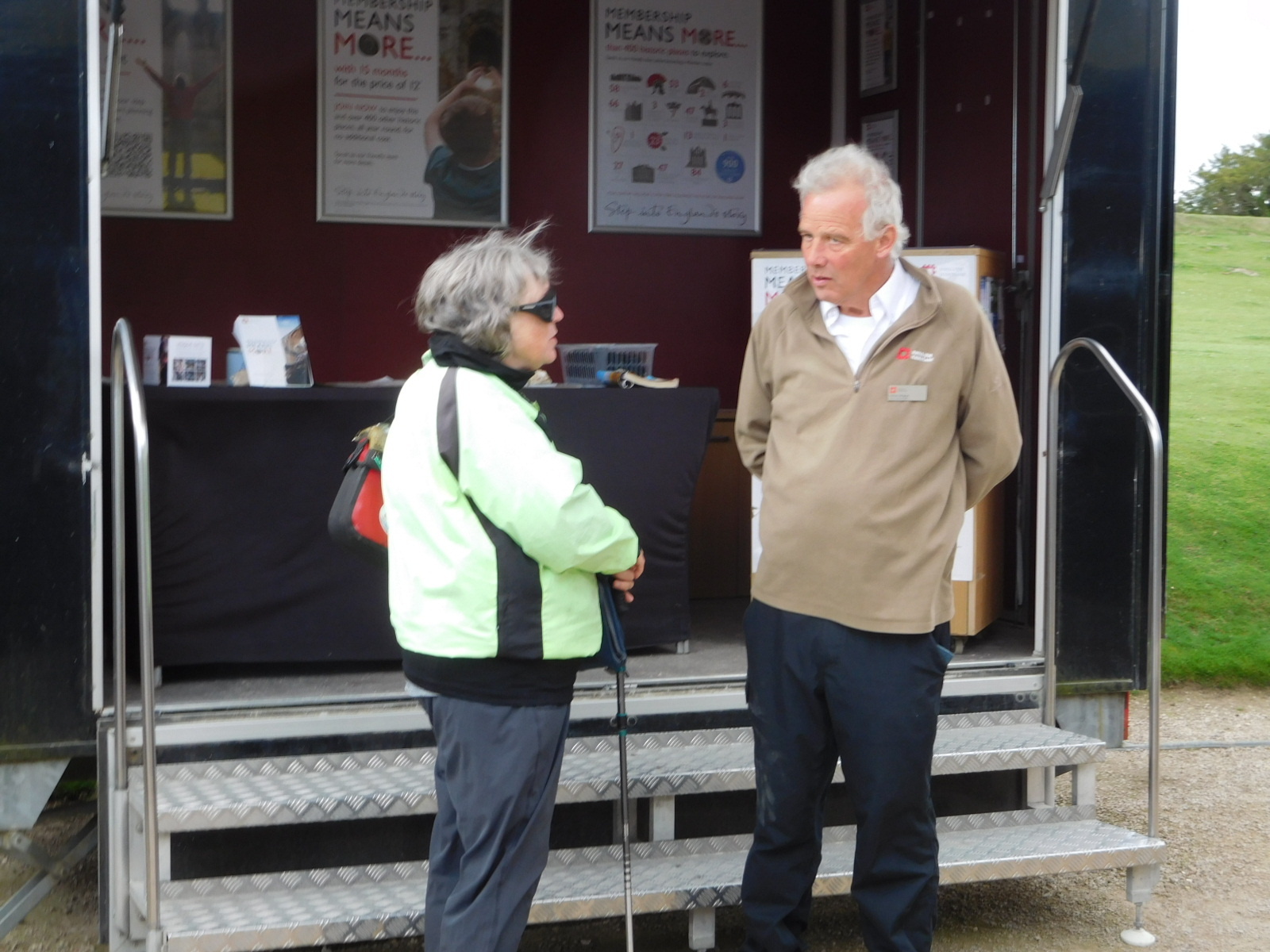
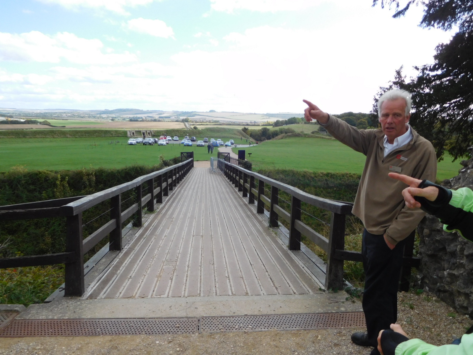
The current version of the soldier at the castle gates is this British Heritage employee, there to collect our admission fee. Like many others we have met, he was only too glad to share his knowledge at length, for free.
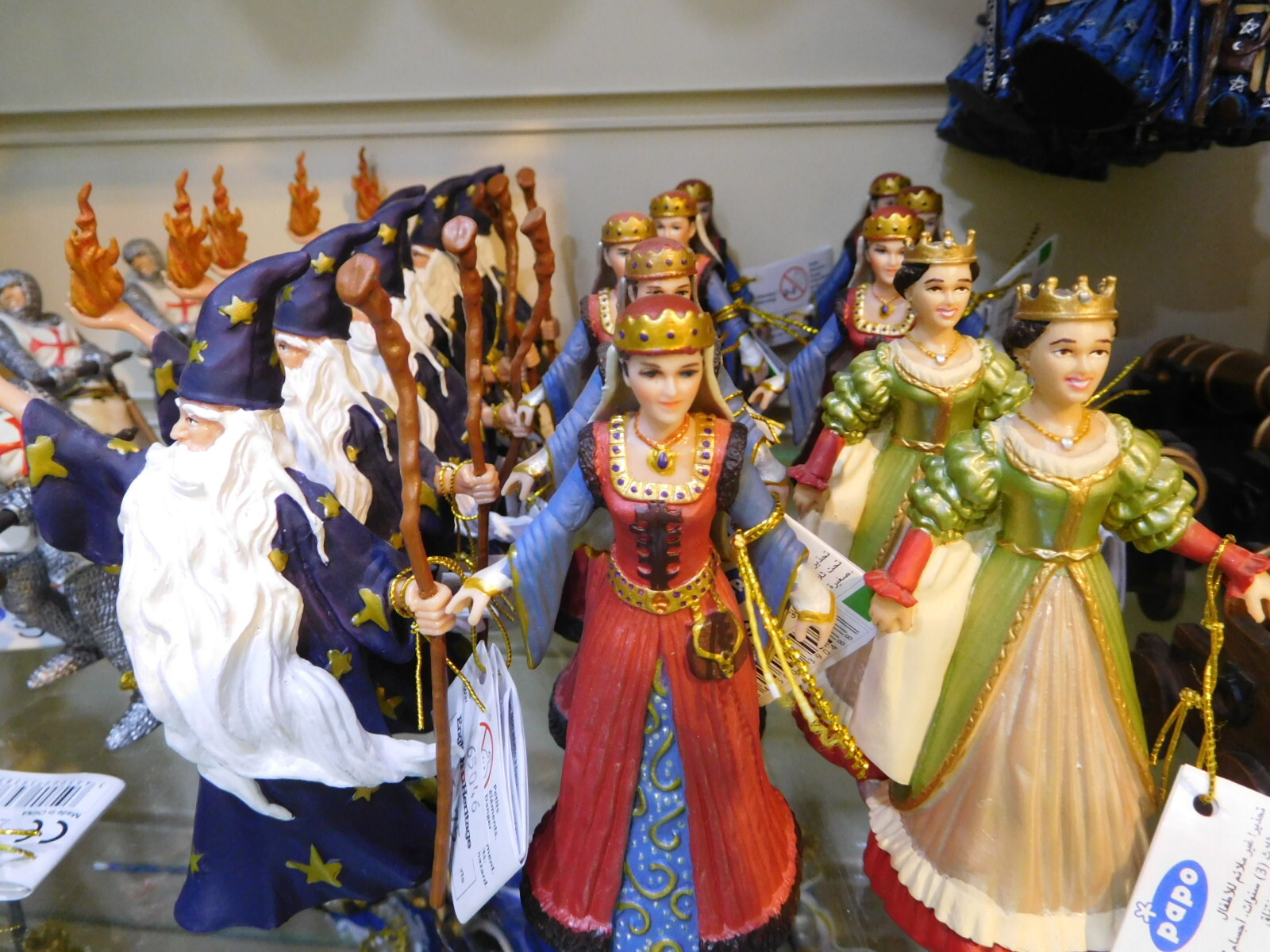
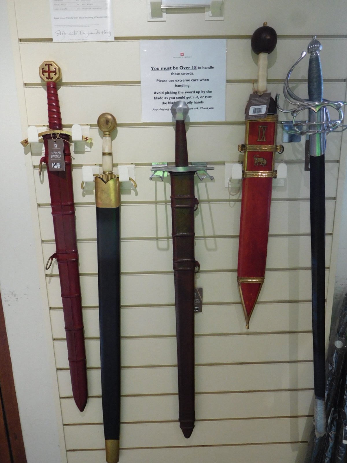
There was a souvenir shop at the gate as well. We love to look in these.
| Heart | 1 | Comment | 0 | Link |
| Heart | 1 | Comment | 0 | Link |
| Heart | 4 | Comment | 0 | Link |
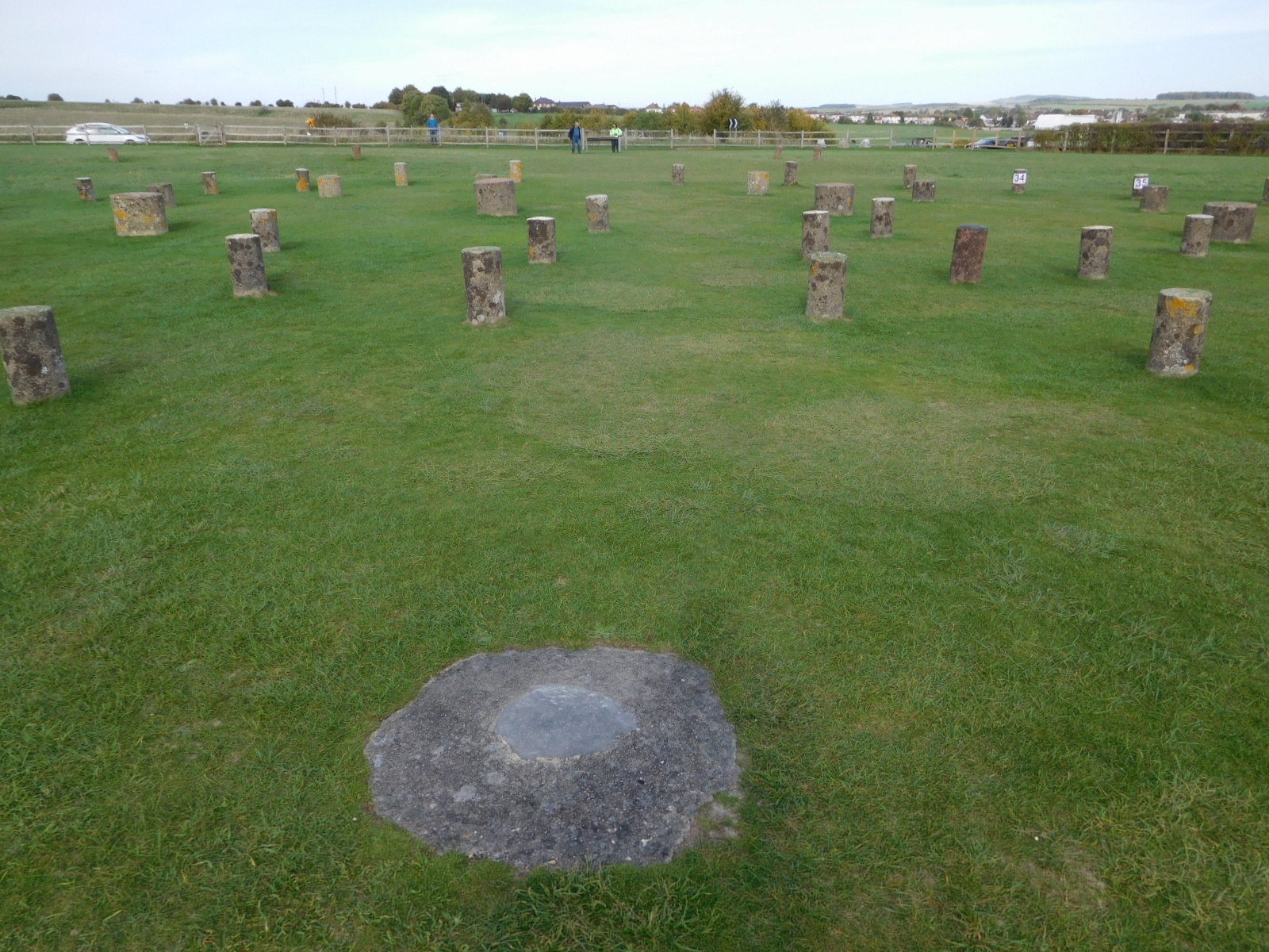
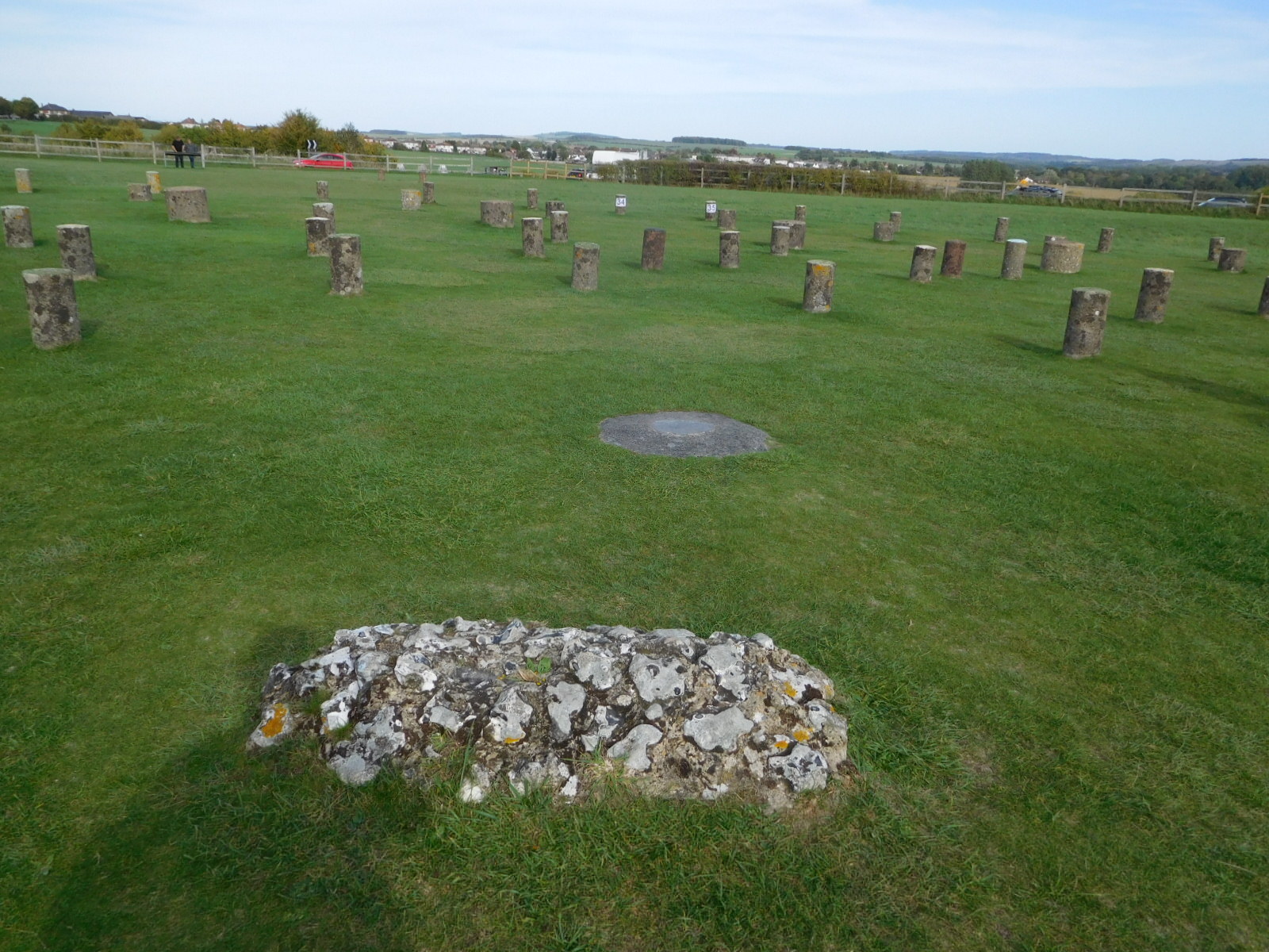
Woodhenge is ten miles north of the Cathedral and five miles east of Stonehenge. It is a powerful site of about the same age as Stonehenge (2500 BC).
"Woodhenge was first ‘discovered’ in 1926, through the use of aerial photography. The area was part of a number of wheat fields, and dark spots were detected in these. Further investigation and excavation suggested these were the remnants of a henge or monument: the dark spots had previously held wooden timbers.
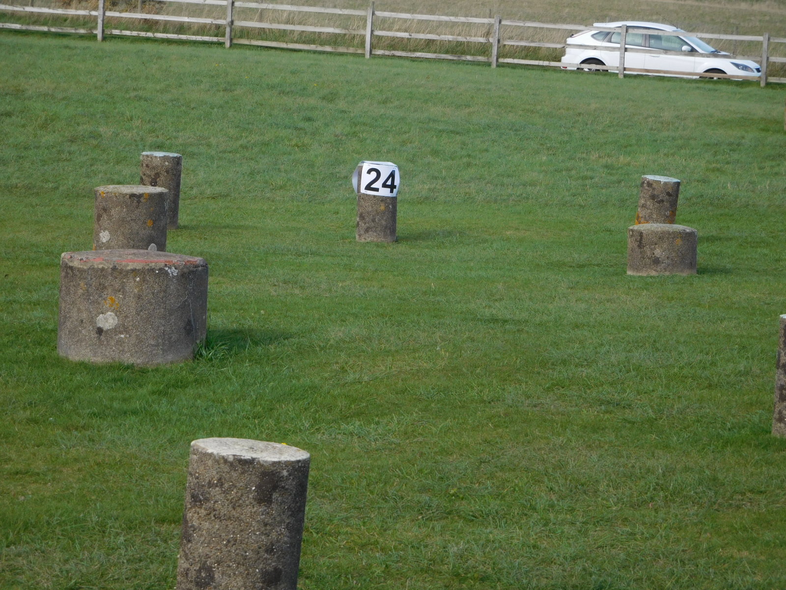
The site consists of 168 postholes arranged in 6 concentric rings – in the middle was a child, which was believed to have been a sacrifice as its skull had been split, although the remains were destroyed in the Blitz so this theory remains unsubstantiated. Most of the postholes still had wooden remains in when they were rediscovered, although today they’re filled with concrete to make it easier to see and understand."
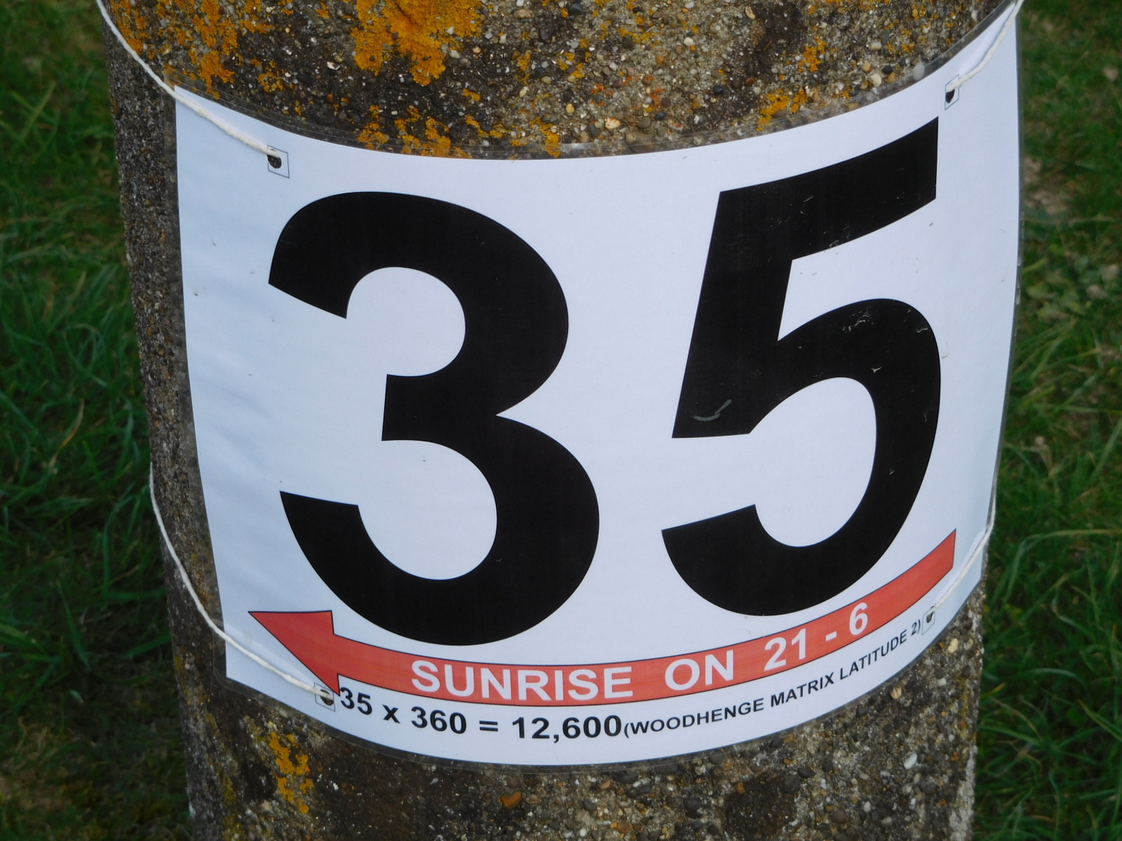
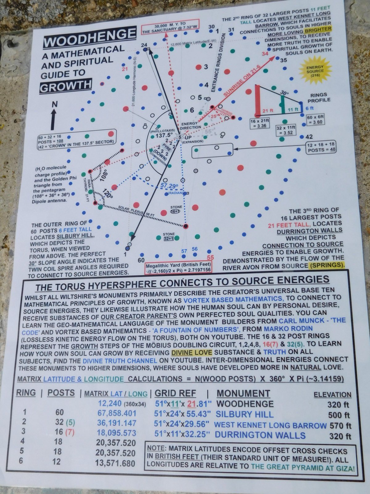
As is the case with Stonehenge, Woodhenge can show the location of the solstice sunrise and sunset. Some of the posts are numbered, and there is a very complex explanation posted by someone of the significance of all the angles. The couple that originally developed Woodhenge bought the land and probably charged admission at some point. It does not seem to be managed by the National Trust, exactly, though signboards around are in their usual professional style. It's just that astrological sheet that I wonder about, though it seemed to have an "official" mounting place.
| Heart | 2 | Comment | 0 | Link |
| Heart | 2 | Comment | 0 | Link |
Here is the "say what?" sheet that was mounted in a prominent place at Woodhenge. I don't see anything that identifies the author, but maybe if someone wants to do some internet searching, it will become clear.
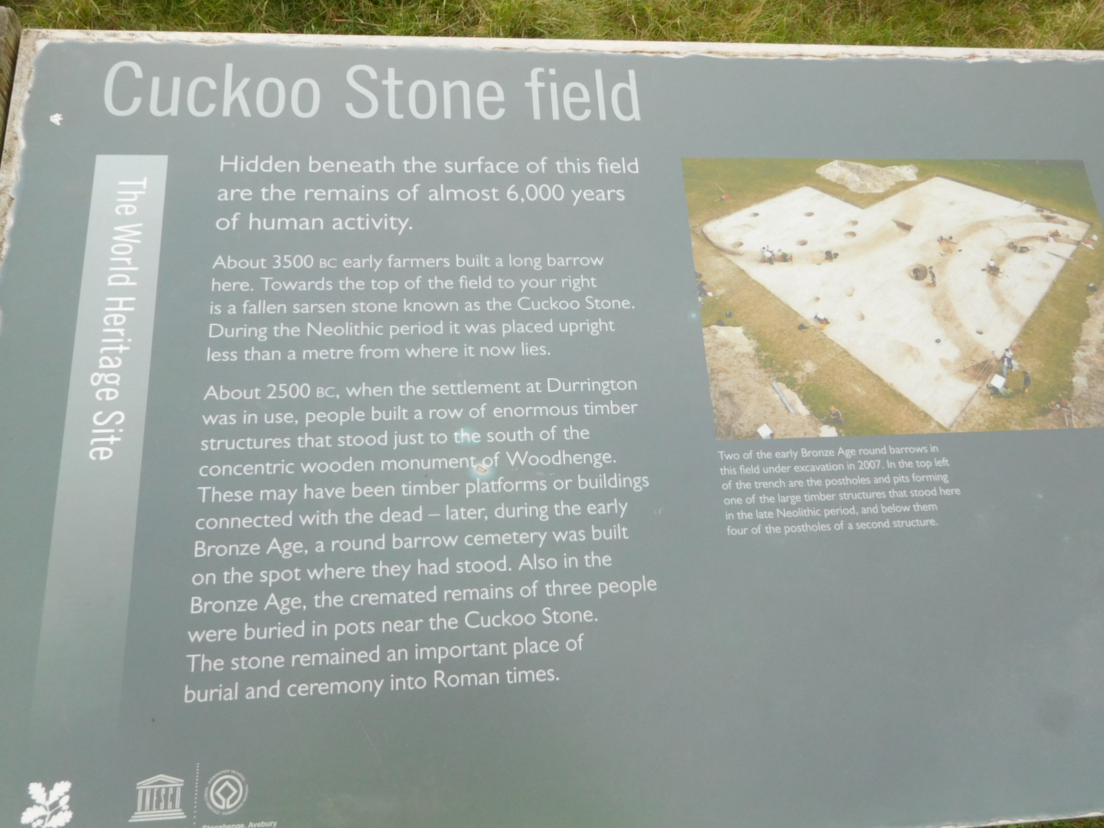
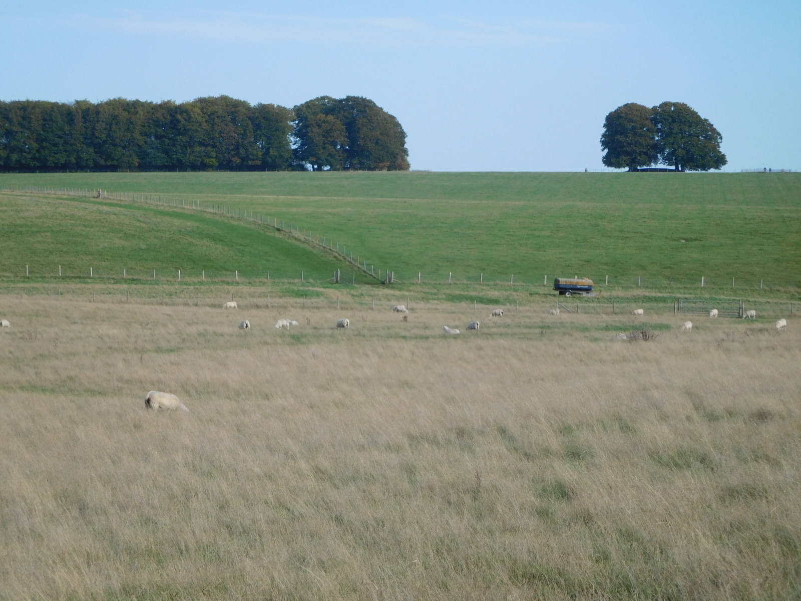
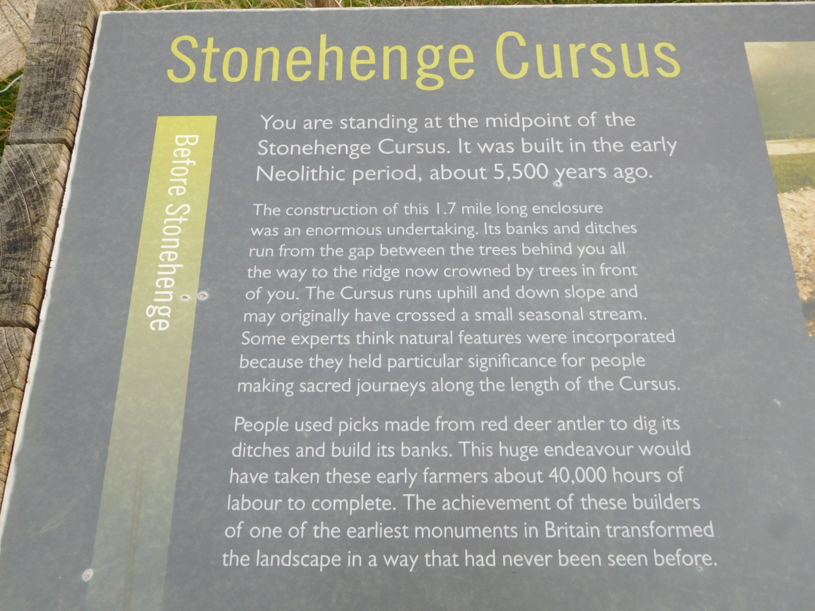
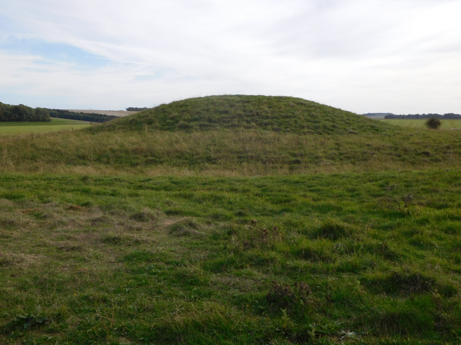
The part that really blew me away was numerous poster boards showing many neolithic features of the landscape all around us as we stood near Woodhenge and were about to go search for the "Cuckoo Stone" and Stonehenge. Here below is one of them. See all the round and long barrows (burial mounds), the Cuckoo Stone, the Durrington Walls, and the Stonehenge Cursus - a dugout field sort of pointing to Stonehenge?
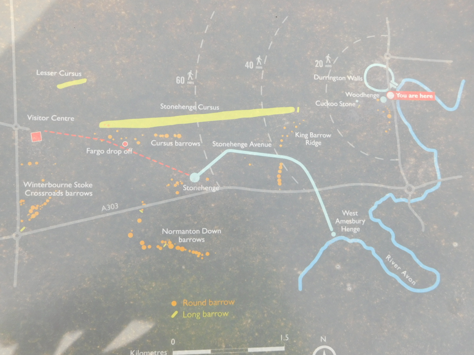
All of the stuff shown above was news to us. It certainly makes a big area for archeologists to work. Our own next step was to try to find the Cuckoo Stone. If you can read it, here is some explanation of the field where it can be found.
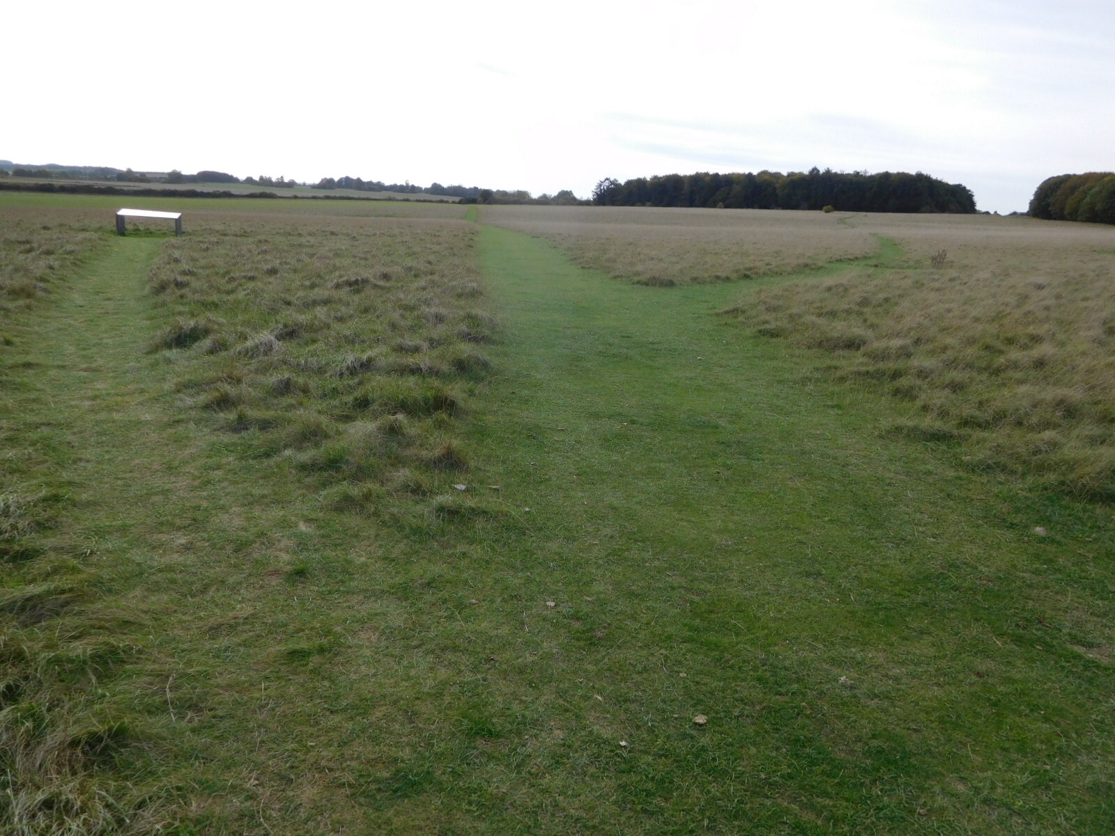
In the field, mowed paths headed off in various directions. We were not about to follow one of these on the bikes, but Dodie had an on road plan.
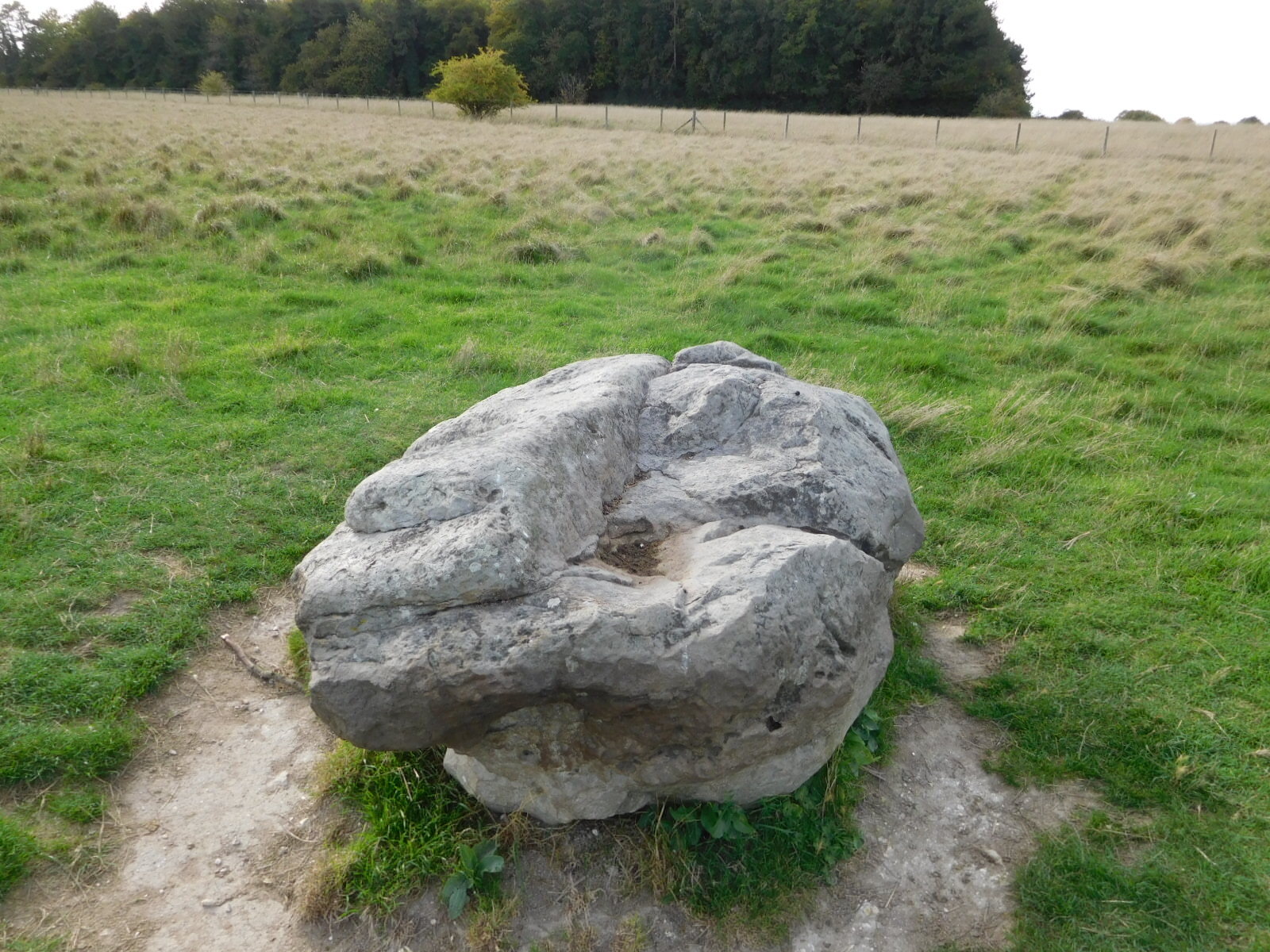
And yes, she actually spotted the darn thing from a road! I got sent to run in and snap a photo.
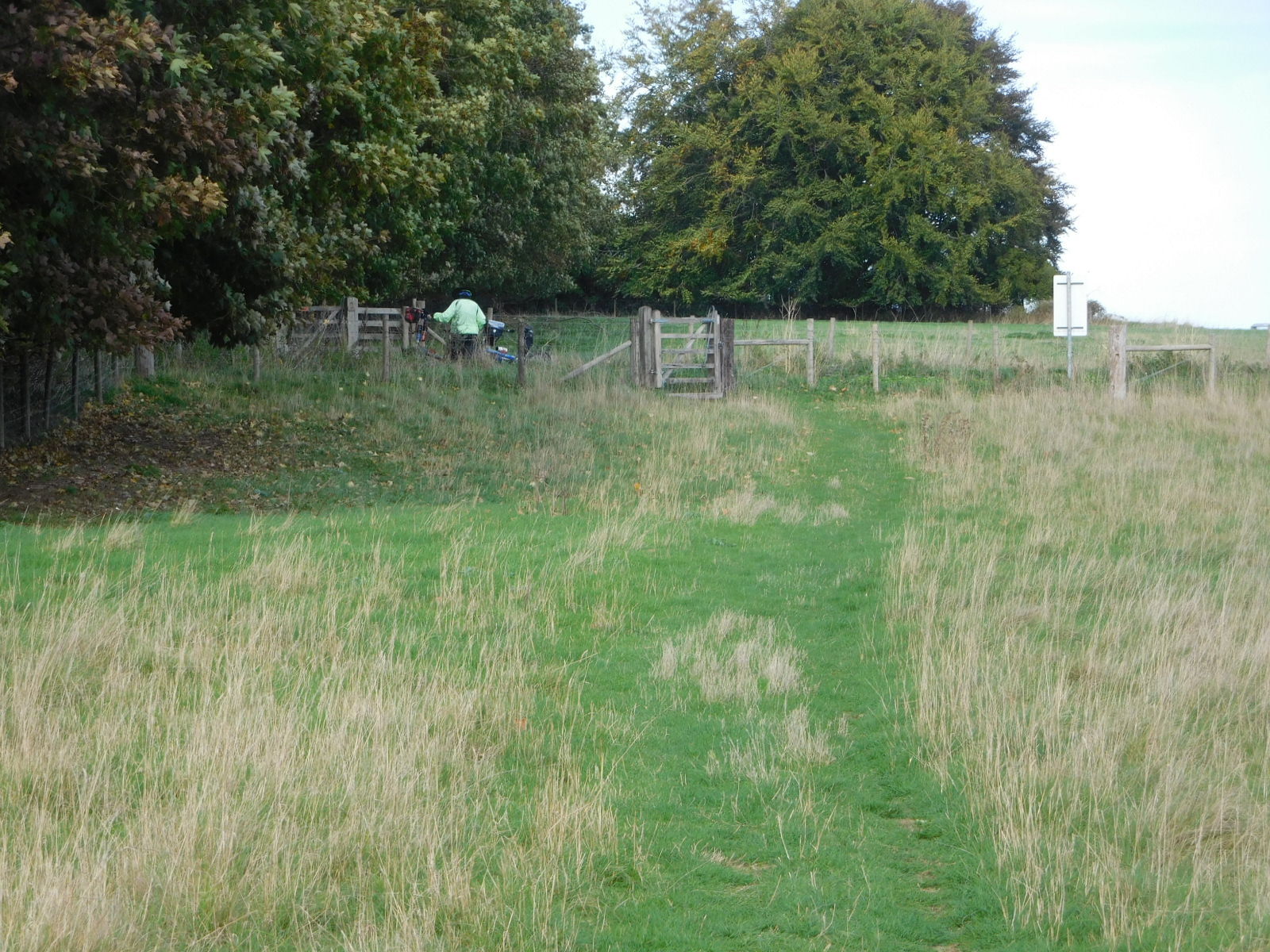
There is Dodie waiting for me, out on the road she found.
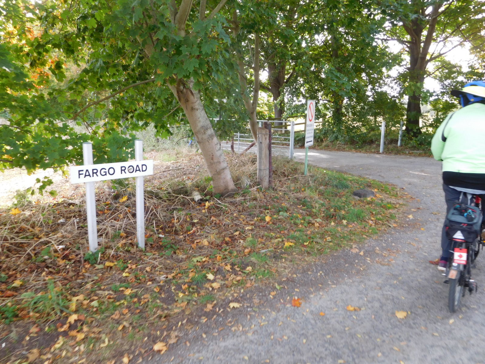
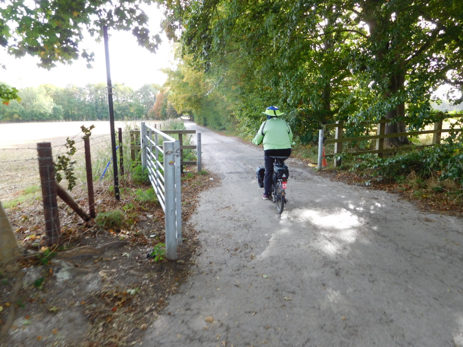
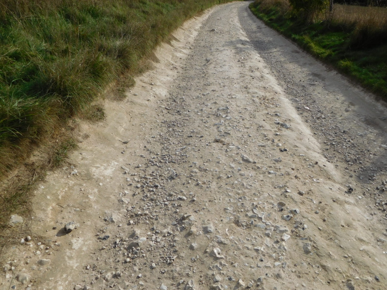
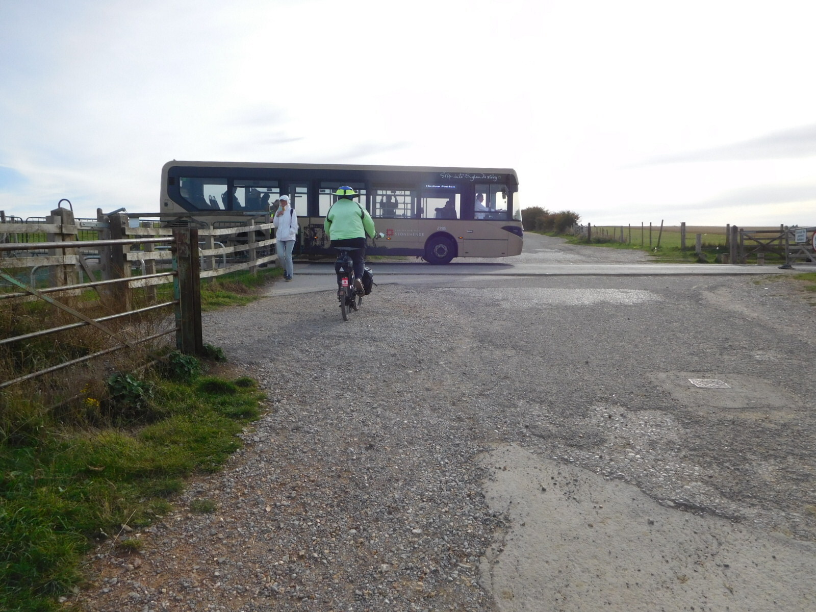
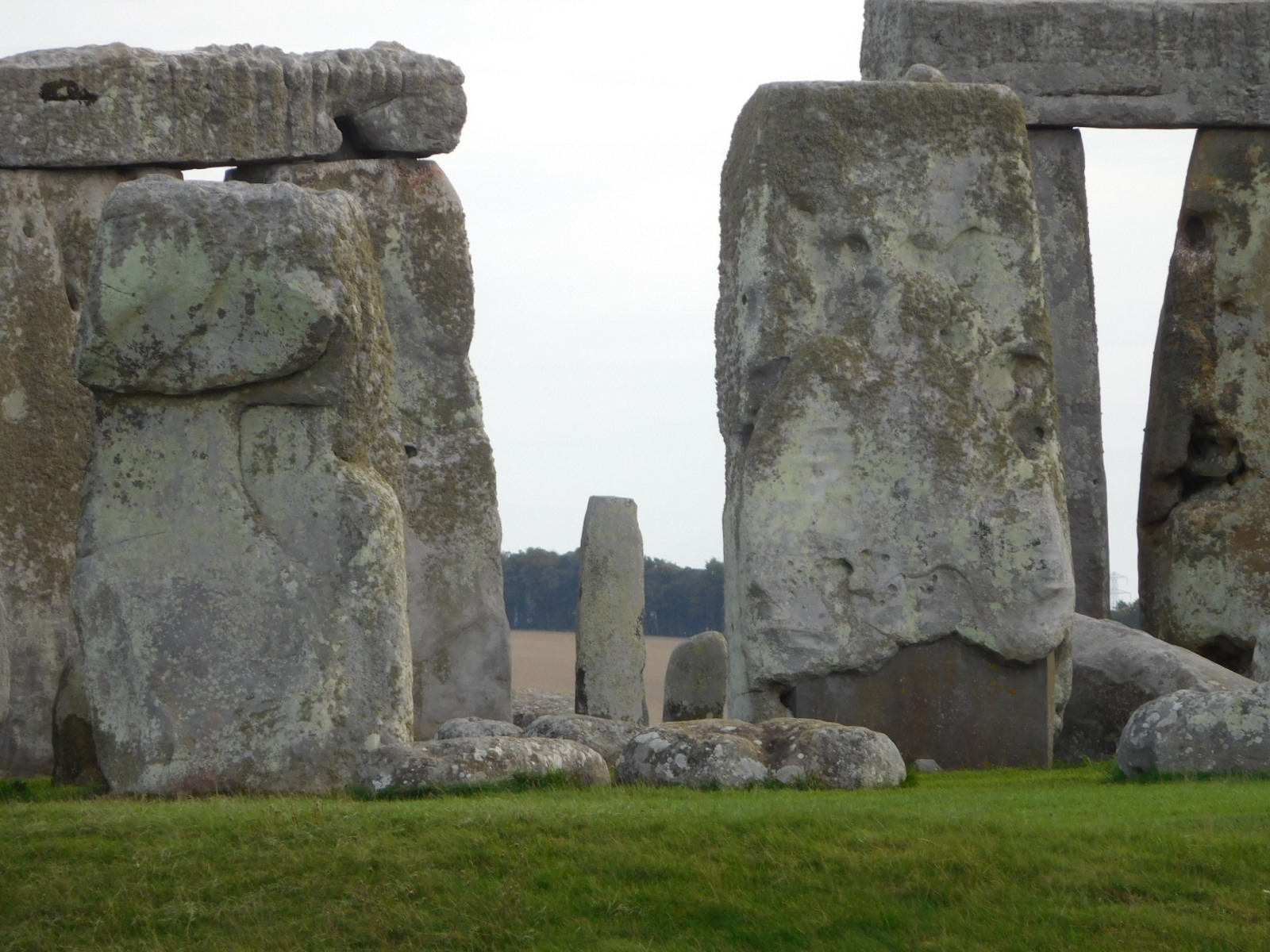
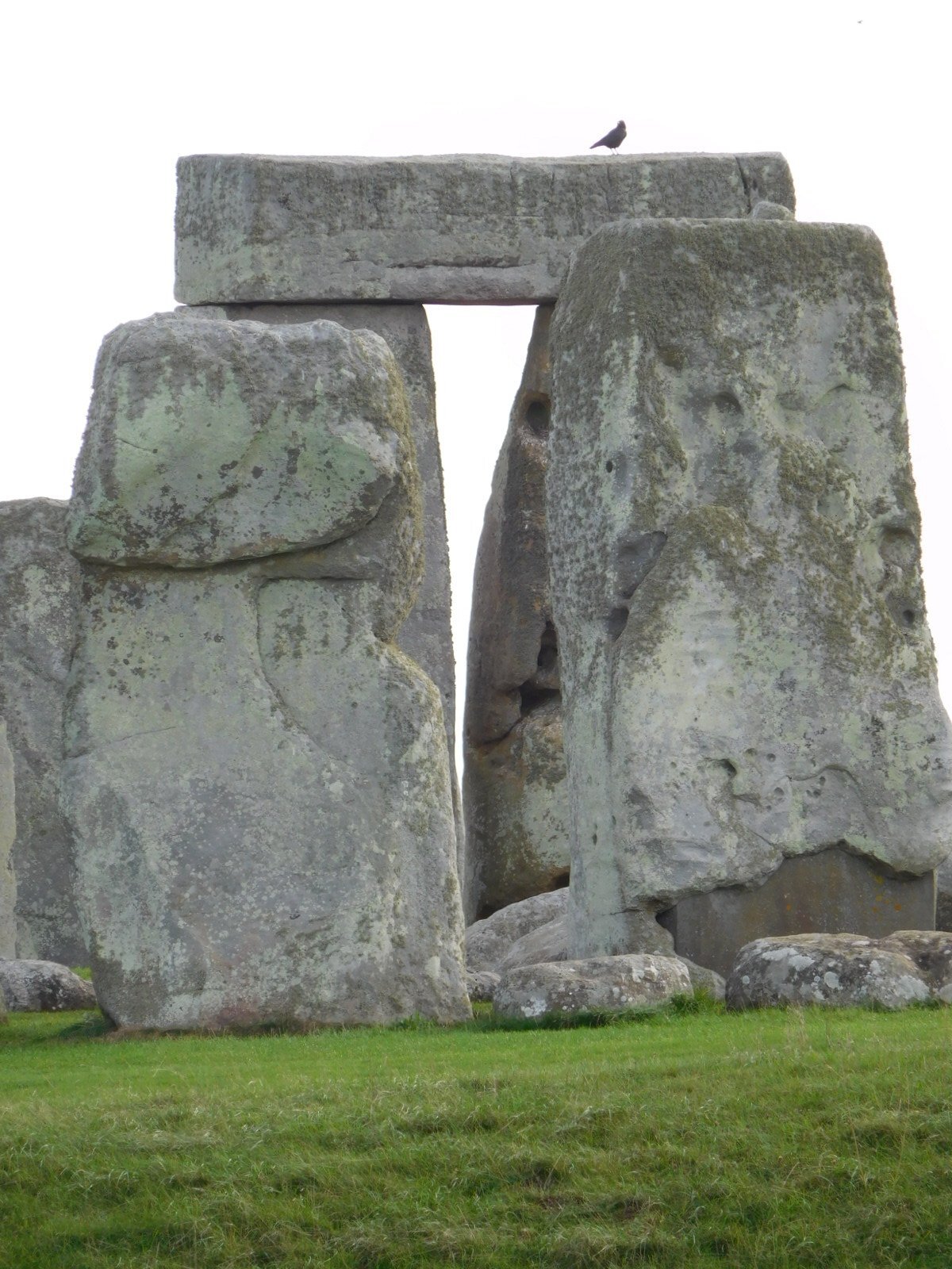
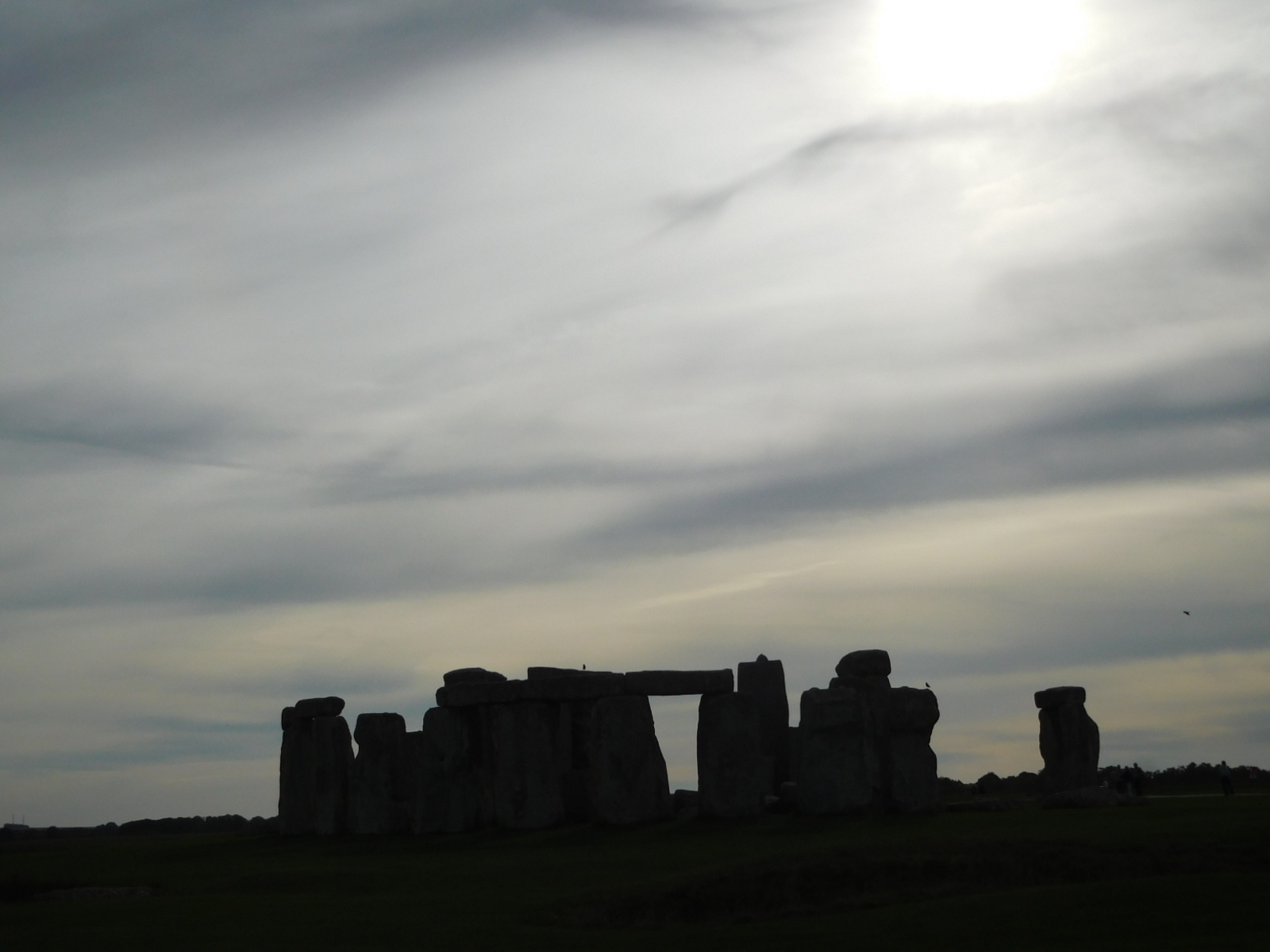
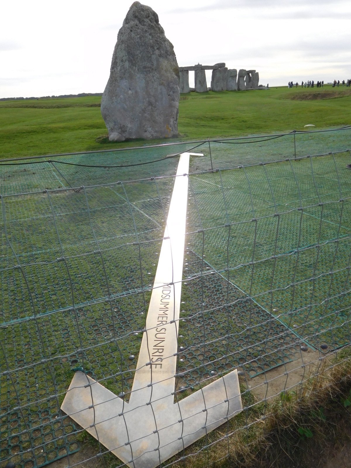
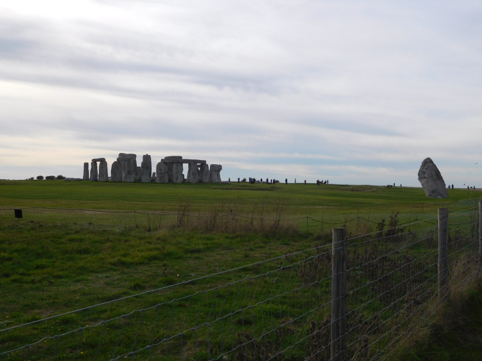
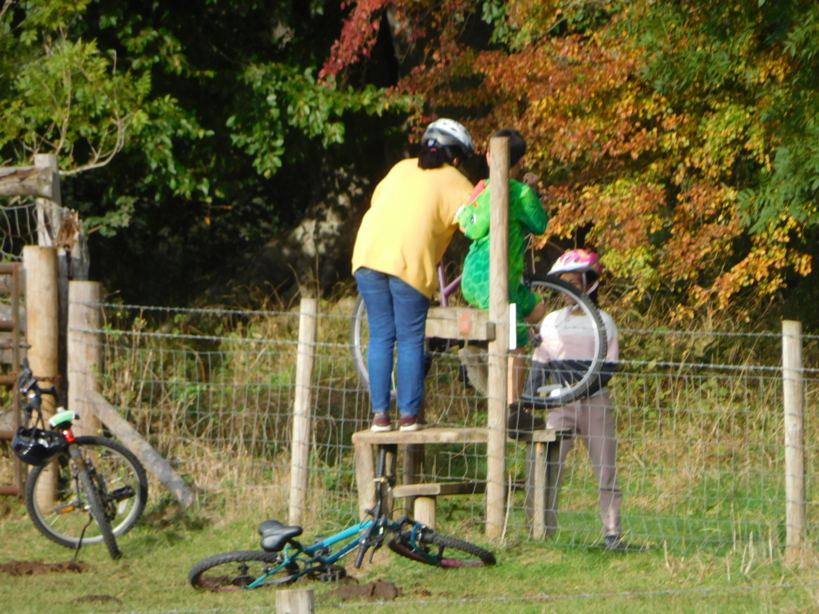
The next step was to find the way from the Cuckoo Stone to Stonehenge, using the back door that had been described by Scott, and which could also be readily seen on our map. Here in captions is the picture story of what happened next:
| Heart | 2 | Comment | 0 | Link |
| Heart | 3 | Comment | 0 | Link |
| Heart | 1 | Comment | 0 | Link |
| Heart | 2 | Comment | 0 | Link |
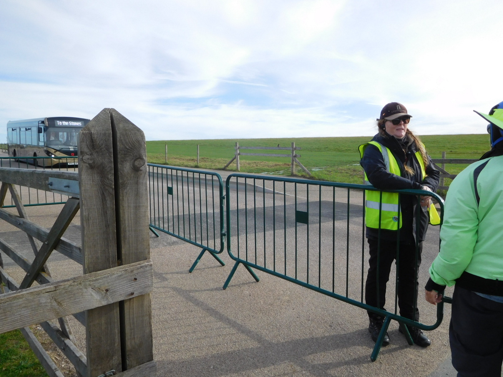
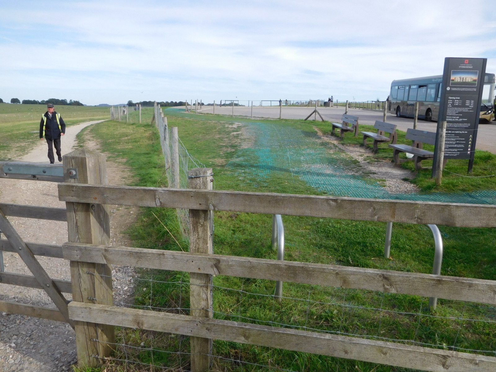
| Heart | 1 | Comment | 0 | Link |
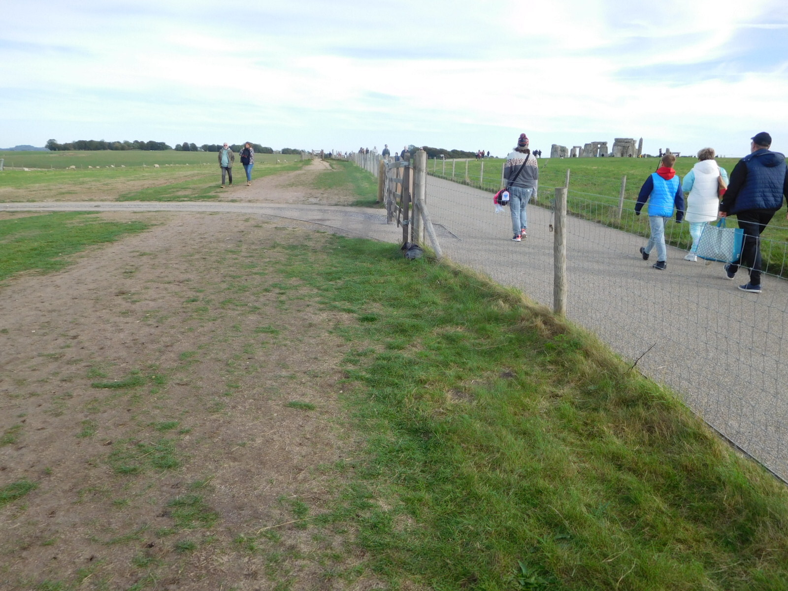
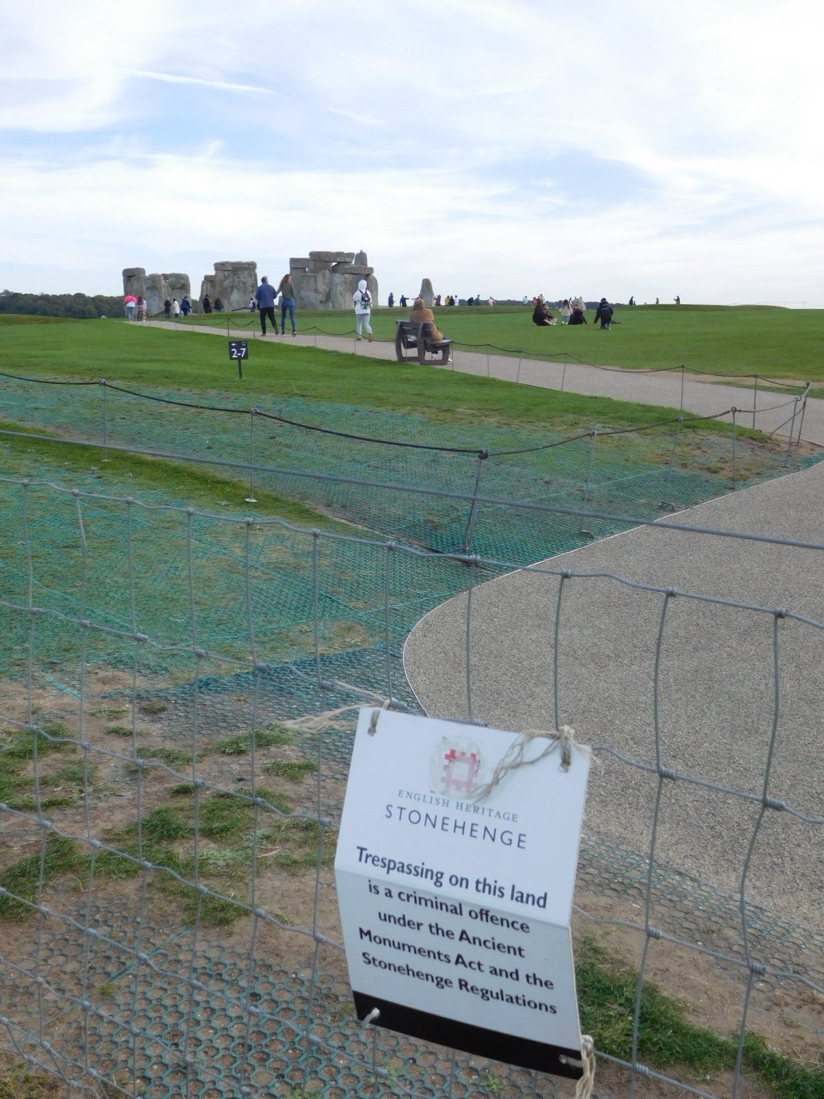
| Heart | 3 | Comment | 0 | Link |
| Heart | 5 | Comment | 4 | Link |
1 year ago
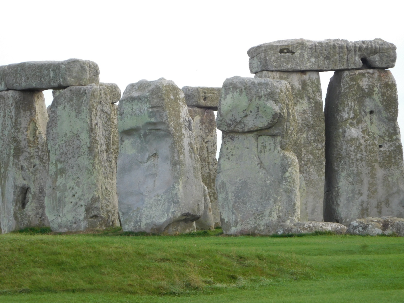
But I haven't yet been able to turn up any credible or authoritative information or discussions about whether it's just coincidence or whether there's evidence (such as tool marks) that it was carved.
That lack of findings leads me to guess it's just a fluke of the light and viewing angle.
1 year ago
| Heart | 2 | Comment | 0 | Link |
| Heart | 2 | Comment | 0 | Link |
| Heart | 1 | Comment | 0 | Link |
| Heart | 3 | Comment | 0 | Link |
| Heart | 4 | Comment | 0 | Link |
| Heart | 1 | Comment | 2 | Link |
https://www.hedgesonline.co.uk/deciduous-shrubs-and-hedges/privet-hedging.html
1 year ago
| Heart | 2 | Comment | 0 | Link |
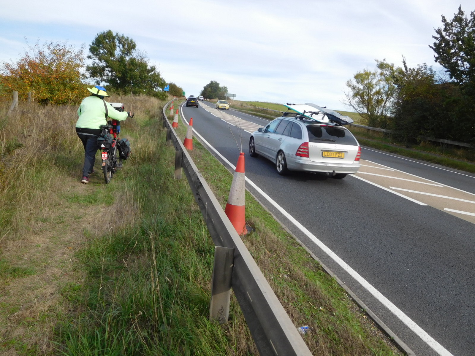
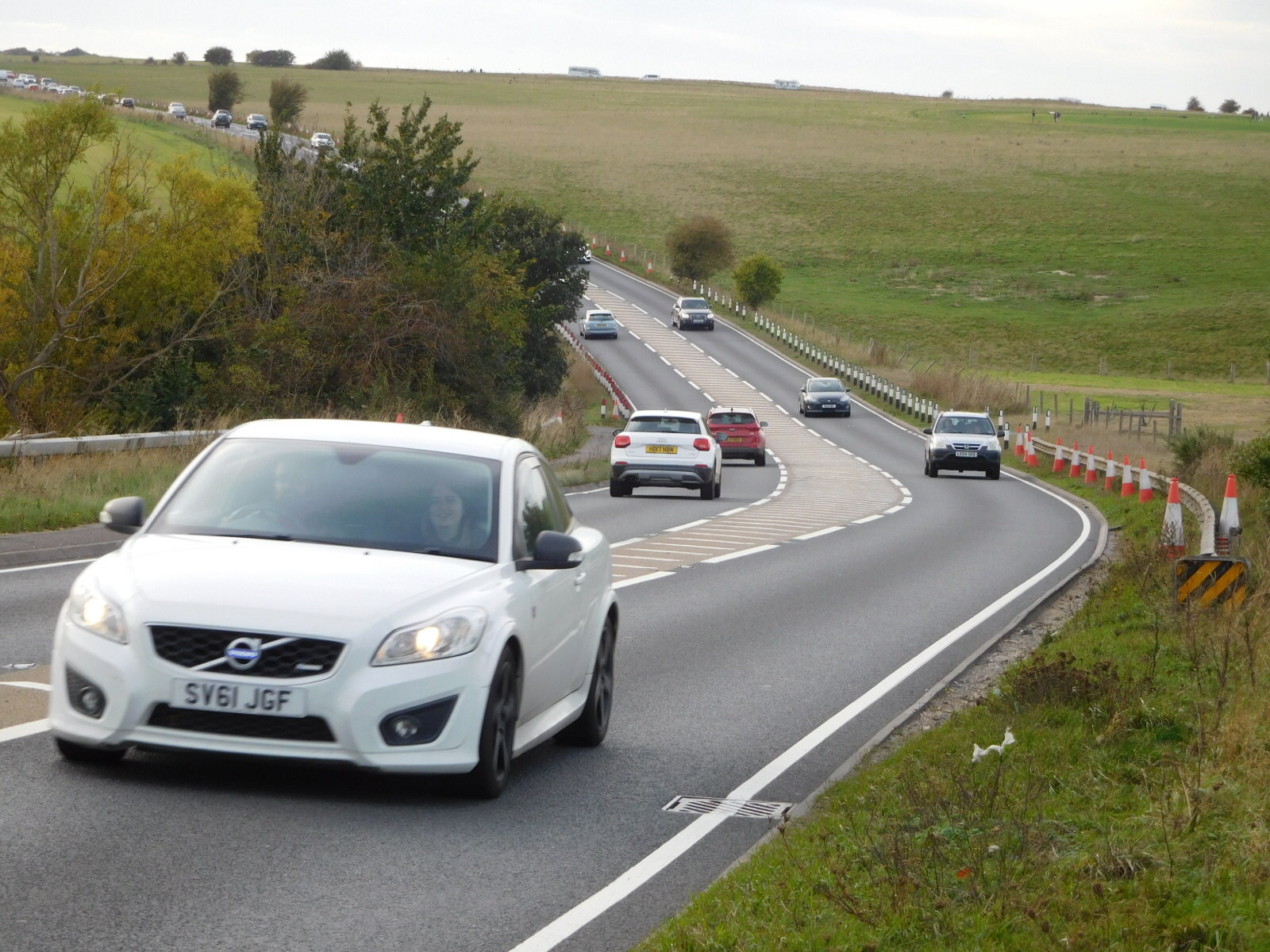
In an amazing feat of agility, Dodie exploited a gap and crossed A303, to a rideable if narrow path on the other side. I pushed along in the grass on my side until an island between the lanes in either direction gave me my chance. From there, we were home free, sailing gaily down the road to Salisbury, past all the great houses we had seen on the way up.
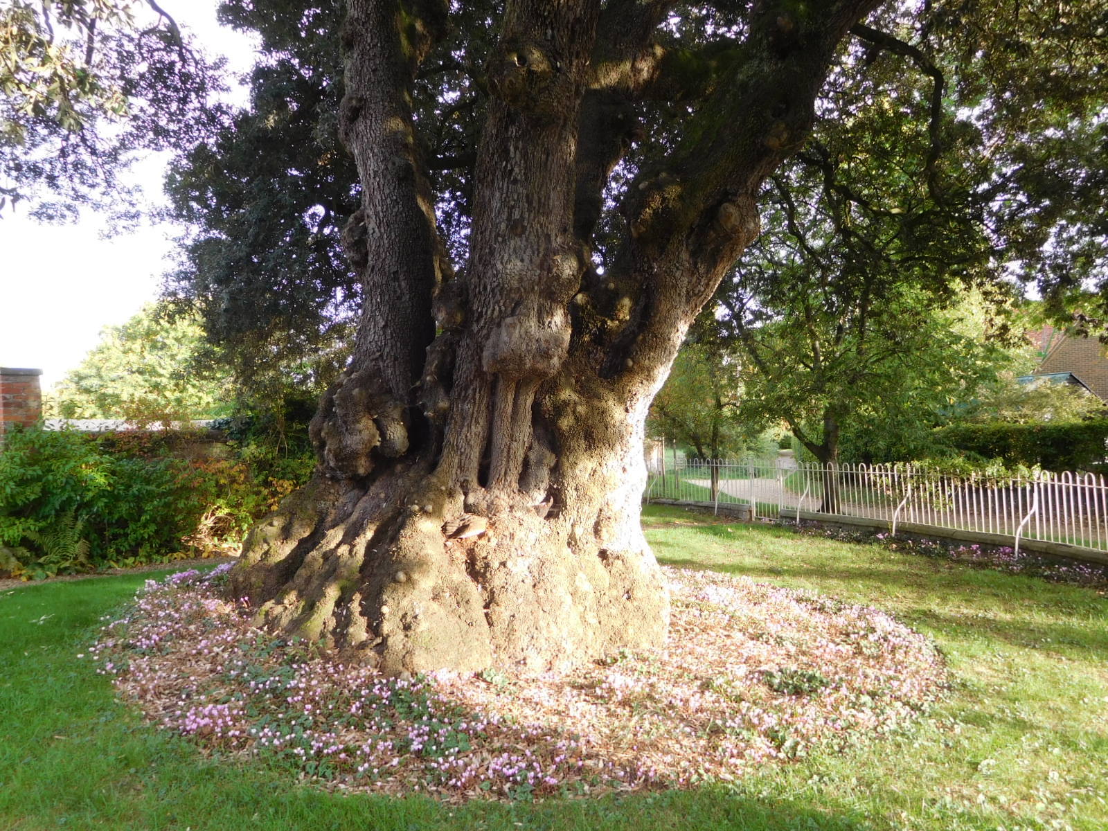
Our last thing for the trip down was this giant tree, circled by anemones, a flower we had not known until identified for us by Cycleblaze readers.
Today's ride: 57 km (35 miles)
Total: 1,287 km (799 miles)
| Rate this entry's writing | Heart | 12 |
| Comment on this entry | Comment | 1 |