April 10, 2022
Of Maps and Tracks
Lots of people are content on a cycle tour to navigate just with their phones, or maybe with a dedicated GPS. Some may plot out the whole trip in advance, and store the .gpx files in those phones, and some are content to ask the phone for a route the night before and just go with that. What you probably will not see any more is someone unfurling a full sized paper map, trying to figure out where they might be on that map, and then deciding which way to go next.
The reasons for the absence of paper maps are many. They are big and heavy, and they mostly cover areas where you are not. In the wind or rain, they are totally useless, and anyway without a GPS you will usually be wrong when you try to guess which squiggle on the map you have already been around, and which are yet to come.
But none of that stops the Grampies from always travelling with paper maps. To avoid the pitfalls we find a way to make it far more complicated than you might imagine. For starters we scan or screen shot, and reprint the map pieces needed for the route (the whole route!) and we colour print them all in 5 1/2 x 8 1/2 pieces, that fit safe from wind and water in our handlebar bag map case.
But the Grampies, while old, are not so old as to scoff at phone GPS navigation. We also have tracks for the whole route. These tracks are gleaned either from known and published sources, like the track for EuroVelo 15 etc., or they are cooked up by algorithm, such as in RideWithGps, bikemap.net, cycle.travel, etc. etc.
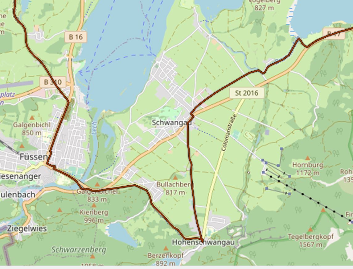
It's an old saw that a man with a watch knows the time, but a man with two watches is never sure. This is the situation that has been giving us headaches for the last three days, and that has me sitting down here to mention it. Lots of the maps we have show the route on them. For example, the Bikeline Rhine map books. And we have the .gpx tracks for the same bits of geography. But do they match? Not always -maybe even not often! The tracks may have been supplied with a different edition of the map, or are from a different published track source, or horrors, may have been cooked up in our back room by some deranged algorithm.
This is where a clash of cultures enters our otherwise serene cycle planning headquarters. Grampie #1 says if map and track diverge, be prepared to follow the track on screen. Grampie #1, it seems, has worked with computers all his life, and just likes them.
Grampie #2 will not put her faith in a little TV screen, with a possibly untrustworthy battery, and when in doubt will squint at the little red line on the piece of paper.
Our solution is to hammer and chisel the maps and tracks until we are sure that they exactly correspond. That means crawling over 4000 km, making sure that everything agrees about every squiggle.
Are we nuts? Well what else have we got to do!

| Heart | 0 | Comment | 0 | Link |
| Rate this entry's writing | Heart | 14 |
| Comment on this entry | Comment | 0 |