August 7, 2011
Teesdale to Wensleydale: Uphill and Down Dale.
The caravan-park campsite in Middleton only had one other small tent besides mine, owned by a youth with a Lancaster accent that was walking the "Pennine Way". He arrived just after me on Saturday afternoon having walked twenty miles in the rain, looking as if he'd just been lifted out of the river the way the water ran off his waterproof jacket, the soaked hood of which was snugly drawn around his wet blushed face. His heavy pack had a waterproof cover pulled over: the water ran off that too and when he eased it down on the reception floor, it created a poodle. Today he said with an air of optimism that the forecast was for showers: though he stressed a much better day was in-store than yesterday.
It came on a heavy shower just as I was setting off at ten to nine which I waited out under the awning at the campsite reception. When it stopped, I got away but soon had foreboding over it turning out yet another wet day as storm cloud closed in on the climb away from Middleton. It certainly was raining very heavily out to the left: a midnight blue band lurched slowly across the valley towards the road ahead.
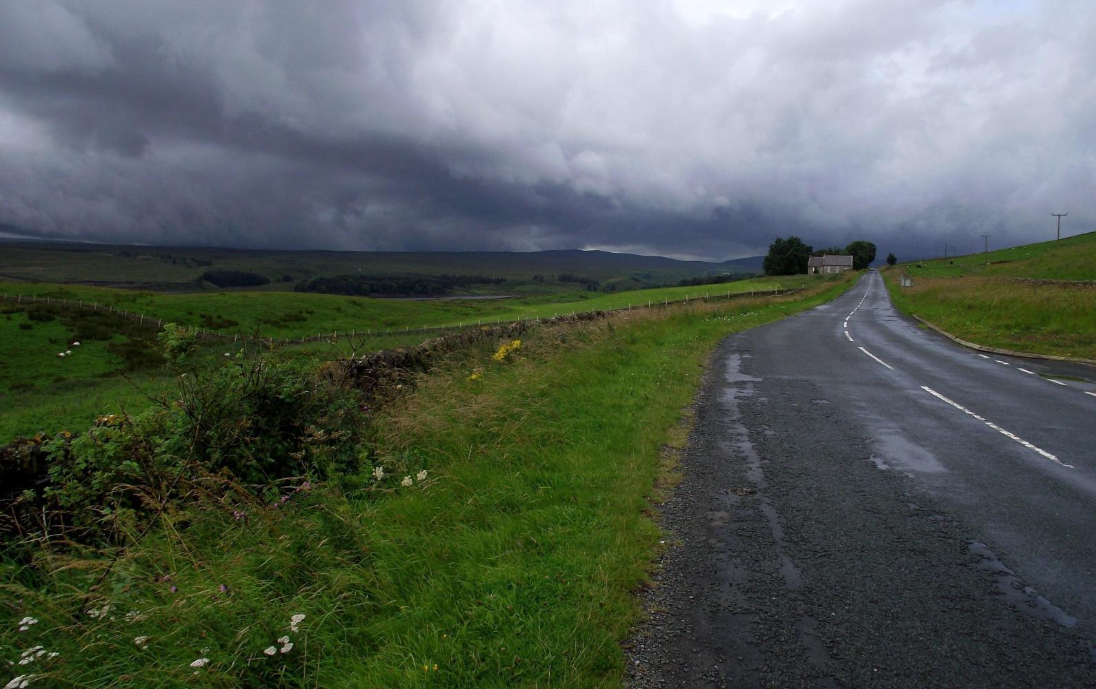
But luckily in the end I got only a few spots of rain as the downpour had past when I'd gotten as far, having moved off to the right, leaving the road well soaked and lots of poodles in its wake.
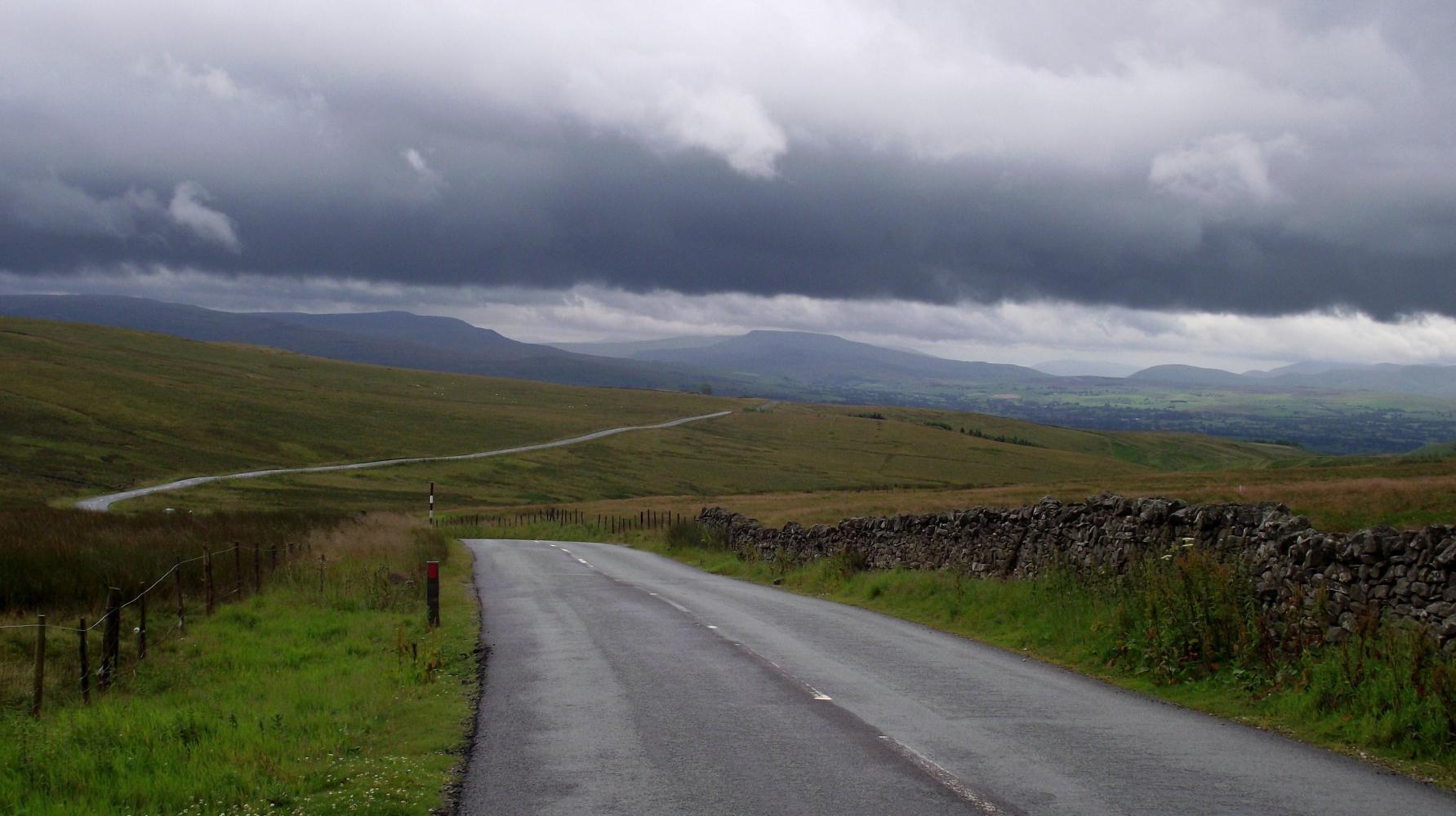
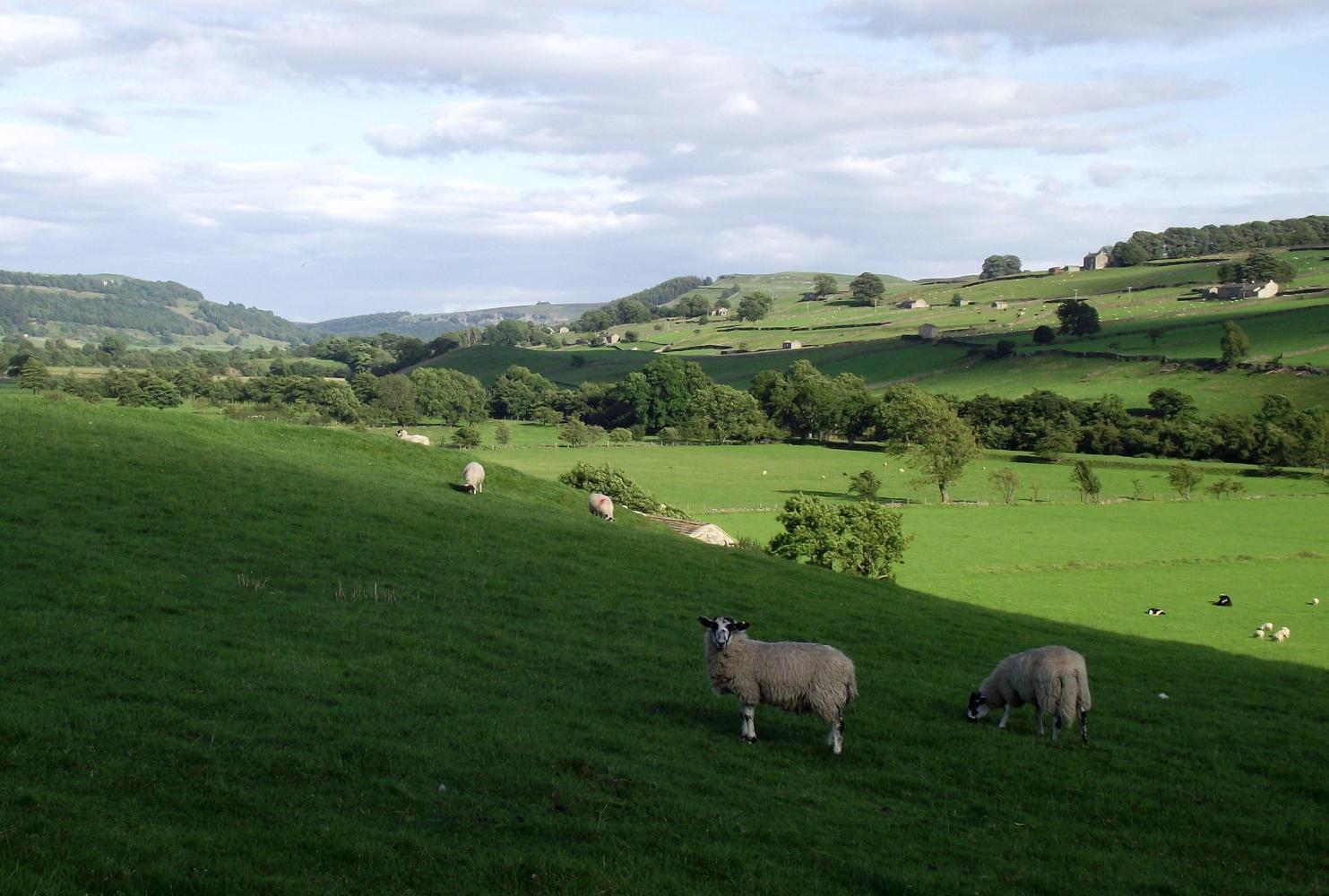
I was cycling up a broad upland valley rimmed by bare hills, past stone wall enclosed sheep pasture, climbing steadily until the grey sheet of a reservoir opened up ahead, which spread out on the left along the valley's middle. Passing cloud caressed the long hill crest on the far side and the changing light had a magic effect on the water; from dull lead to silver and a glint of gold from brief rays of sun. Farther up past the reservoir boggy upper edge, the road climbed a bit more then dropped steeply down to the valley middle, to cross a swollen stream via an old humpback bridge, and then up a chain-breaking steep climb on the valley's opposite side.
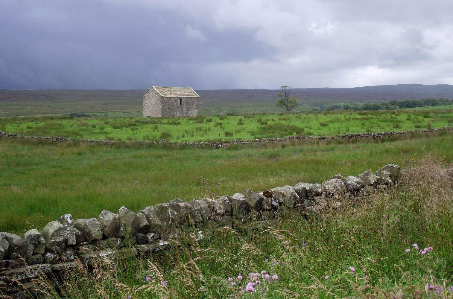
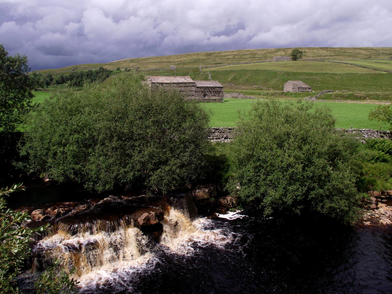
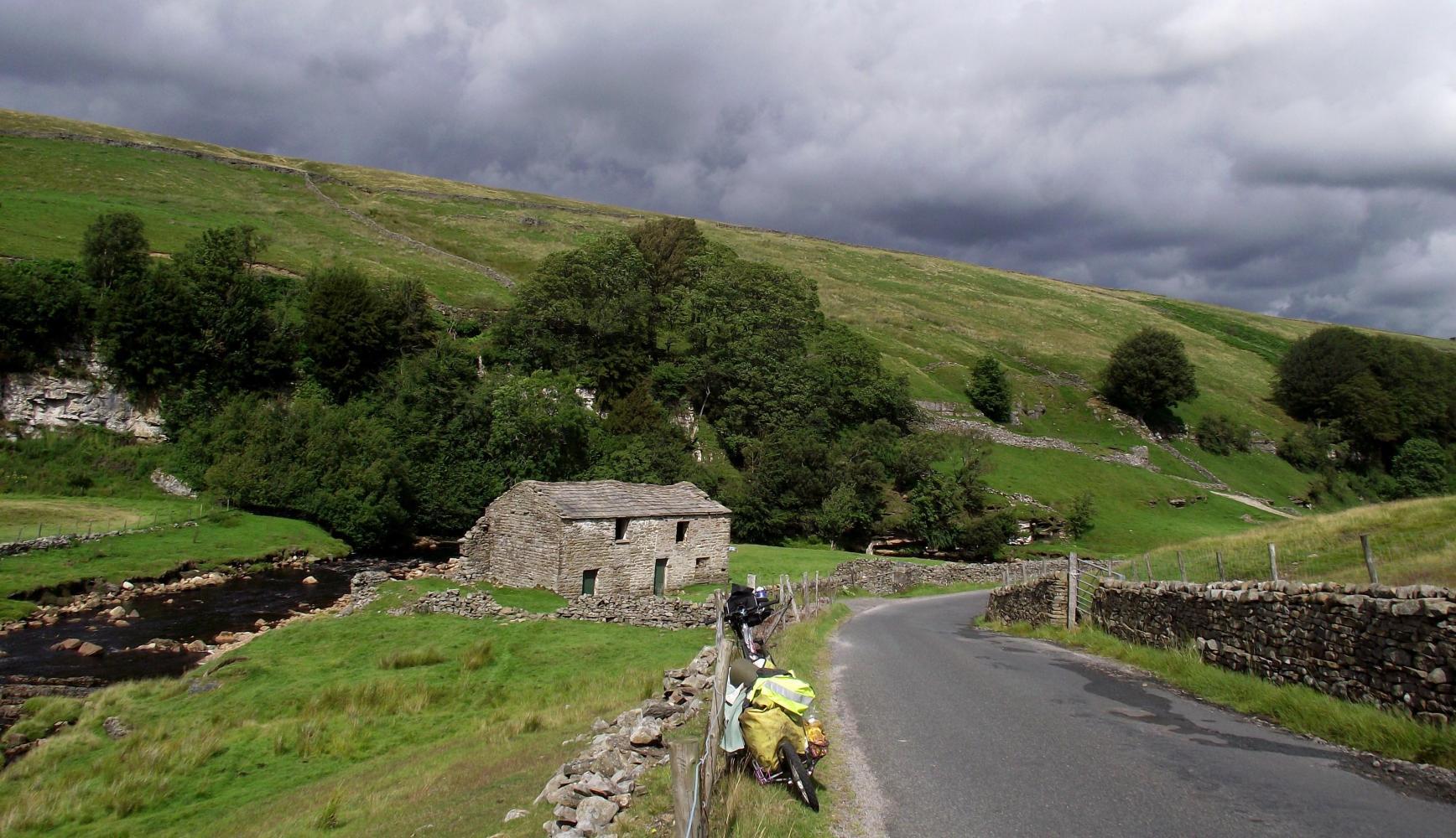
I was now crossing the opposite slope looking down to the right, approaching the high remote upper region of the valley with rough hillside fields formed by long grey stretches of stone walls; a man shaped landscape with isolated houses here and there, all were derelict and appeared to be so for many decades or a lot longer; indeed many were roofless and tumbledown, and the farmsteads they once were were being reclaimed back by nature and all of the land around them now belonged to one farm.
Reaching a high saddle in the Pennine Mountains, passing out of Country Durham, I pass a "Welcome to Cumbria" sign, where a long descend towards cloud cloaked peaks that rose from brown barren upland began. I came down to the small town of Brough where pausing to check the map, a couple in bright florescent yellow tops on a tandem whizzed past. I set off cycling after them as they were going the same way as me, but as they were unencumbered with bags and were keeping a rapid pace, their yellow tops got smaller and smaller, before diminishing up the road.
After twelve miles on a straight A road which rolled gently up and down, I reached the town of Kirby Stephens at noon, where I happen to see a Co Op supermarket which was open on Sunday, so there I shopped; then sat outside afterwards in a bus-shelter eating lunch of a cheese sandwich before going further.
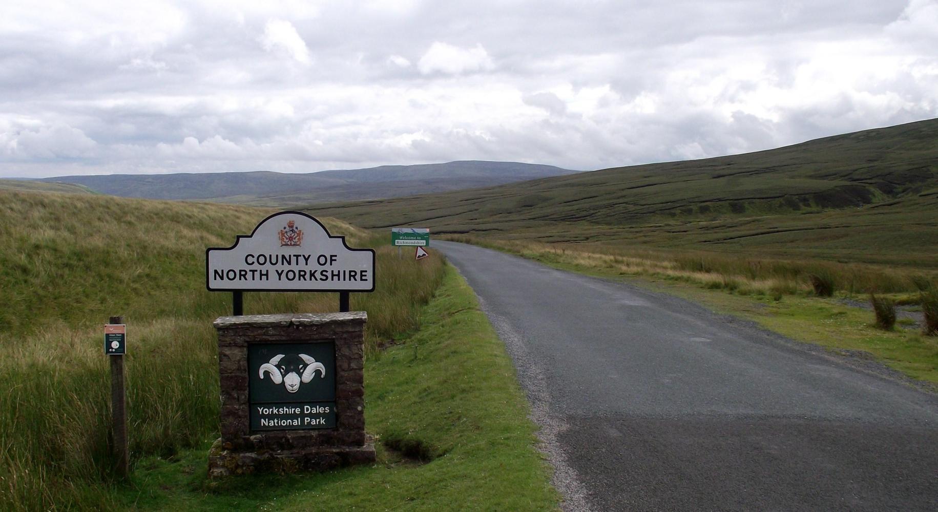
I was feeling lucky so far not getting caught in a shower, as there still was a lot of heavy rain about. But climbing up out of Kirby Stephens about one o'clock as the road scaled the mountainside in one long diagonal, the dark clouds were fast dispersing leaving fluffy white cumulus and sunny spells in their wake. The sun was having a good effect: the yellow light ever changing with brief periods of dark shadow cast by passing cloud and a sharp breeze made it cold to stop and look at a stupendous view far and wide back into Cumbria, before I turned a corner and rode up and through a narrow saddle, pass a sign introducing the County of North Yorkshire.
It was blustery on the road which descended very slowly, preferring to remain on the high plateau. For this reason I had on my rain jacket which rattled in the wind while the road meandering gently along into a high upland valley of open heath with an odd isolated field here and there. Sheep scattered out of my way as I approached. The road eventual after a fair few miles began to drop steeply down into a deep valley, to the river Swale as in the name "Swaledale".
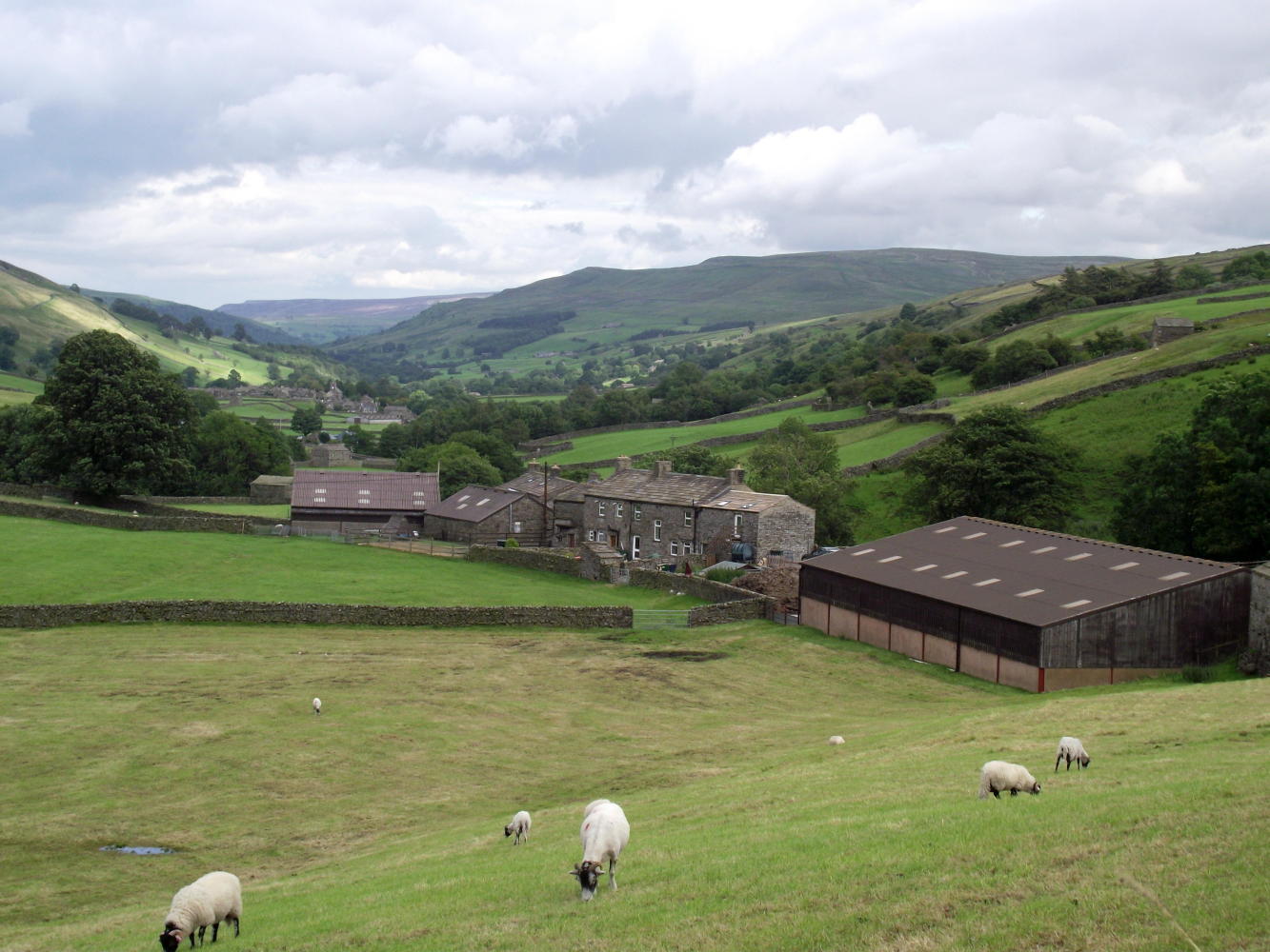
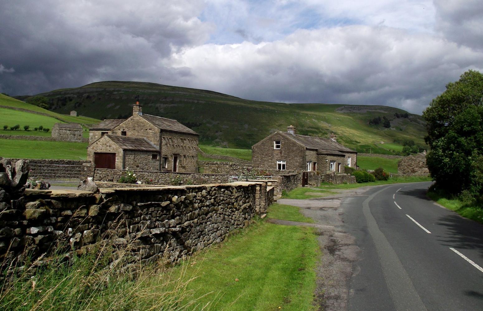
Down below, it was at last a beautiful summer afternoon with slopes up to high escarpments either side, beneath which were pastures rich and full of wildflowers. The narrow road meandered along parallel to the broad leaf tree enclosed river, between age old stone walls, where walkers ambled along in twos, threes and sometimes groups of five-six or more, unmolested by cars which were well behaved, slowing and waiting to pass. I came to and passed through a succession of quaint villages such as Twaith, Muker and Gunnerside. Walkers abounded in them too bringing lots of custom to corner shops.
During an afternoon break in one such village I got talking to a youthful pensioner couple. They'd taken the bus up here to go walking and said they were nearly not making it out at all as it had been such a wet morning in Settle, the North Yorkshire town where they live. He, told me he'd been a racing cyclist in his youth on these roads. "Wha would rahide hun-dred my-iles a day un tese roads" he told me. He called the high crossings between valleys "tups".
I rode on in glorious sunshine, reaching Reeth by six o'clock, where I realised what a fool I'd been yesterday not to have spotted Reeth on my map; instead ending up in a twist and returning to Middleton. The road I should of taken, with a sign for Barnard Castle on the street corner, entered on my left at the village green which was a big sloping quadrangle surrounded by two-story Yorkshire houses with rolling green hills beyond the rooftops; and halfway along the street which past diagonally down the green's middle was an old stock trough, a relic from olden days.
Outside Reeth I turned off the main road, onto a road shown on the map crossing the hilly plateau between Swaledale and Wensleydale; and as expected, it was a wall which zigzagged for a mile up to a crest, to level out upon open heath where already evening mist and cloud had closed in bringing with it steady drizzling rain: a transformation to rain soaked road, cold and misery on the exposed road ahead.
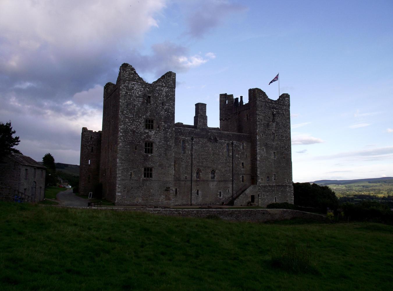
Descending into Wensleydale in the wet the rear brake screamed. But the rain hadn't reached the valley below and soon I was riding in golden evening sunshine again, down along a narrow leafy laneway leading to a great big Norman era Castle called Castle Bolton. It said on the information board when I'd got as far, that the landscape painter Turner, painted the castle which spun an influx of tourists in the nineteen century and ever since, though this evening the castle grounds were deserted. I thought to camp at the bottom of the green in front, but reckoned that someone would be along to object; in anycase there was still time before dark. Meanwhile I got out my Allen keys and tighten up my noisy brakes as the riding in the rain had worn-down pads to the point were levers were touching handlebar-grips and nothing happened when I braked.
With brakes working again, a great day finished with me descending further to a village called Castle Bolton, before which I saw a sign: Swan Farm Camping.
| Rate this entry's writing | Heart | 0 |
| Comment on this entry | Comment | 0 |