March 14, 2014
Day 69: Wild Camp Sierra Blanca to Fort Hancock: 4004 km! and still in West Texas!
Our deputy sheriff from this morning (see the end of yesterday's report)had opened our eyes to the situation in the strip between the border and I-10. It seemed strange to have a government official concede that they could not control a piece of their own territory. Perhaps there is also a similar situation in some inner city neighbourhoods.The deputy also mentioned two other areas they have given up on, or never tried: Enforcement of the minimal no cell phone use in school zones rules, and enforcement around highway littering.
At one point the deputy thought he saw something move in the trees. He pulled out his foot long police flashlight and shone it around. Thinking to impress him with my knowledge of police flashlights, I said "Is that a Streamlight?". "No", he replied "It's a Maglight. All it's really good for is hitting people over the head." This may have been a joke, but I wasn't going to risk laughing. Instead I showed him how my little Cygolite was brighter than his big police special. That did seem to impress him. On the other hand you are not going to knock many people out with the little REI gizmo.
Anyway, our deputy had to say goodbye, he was worried about being too long away from his radio communication.
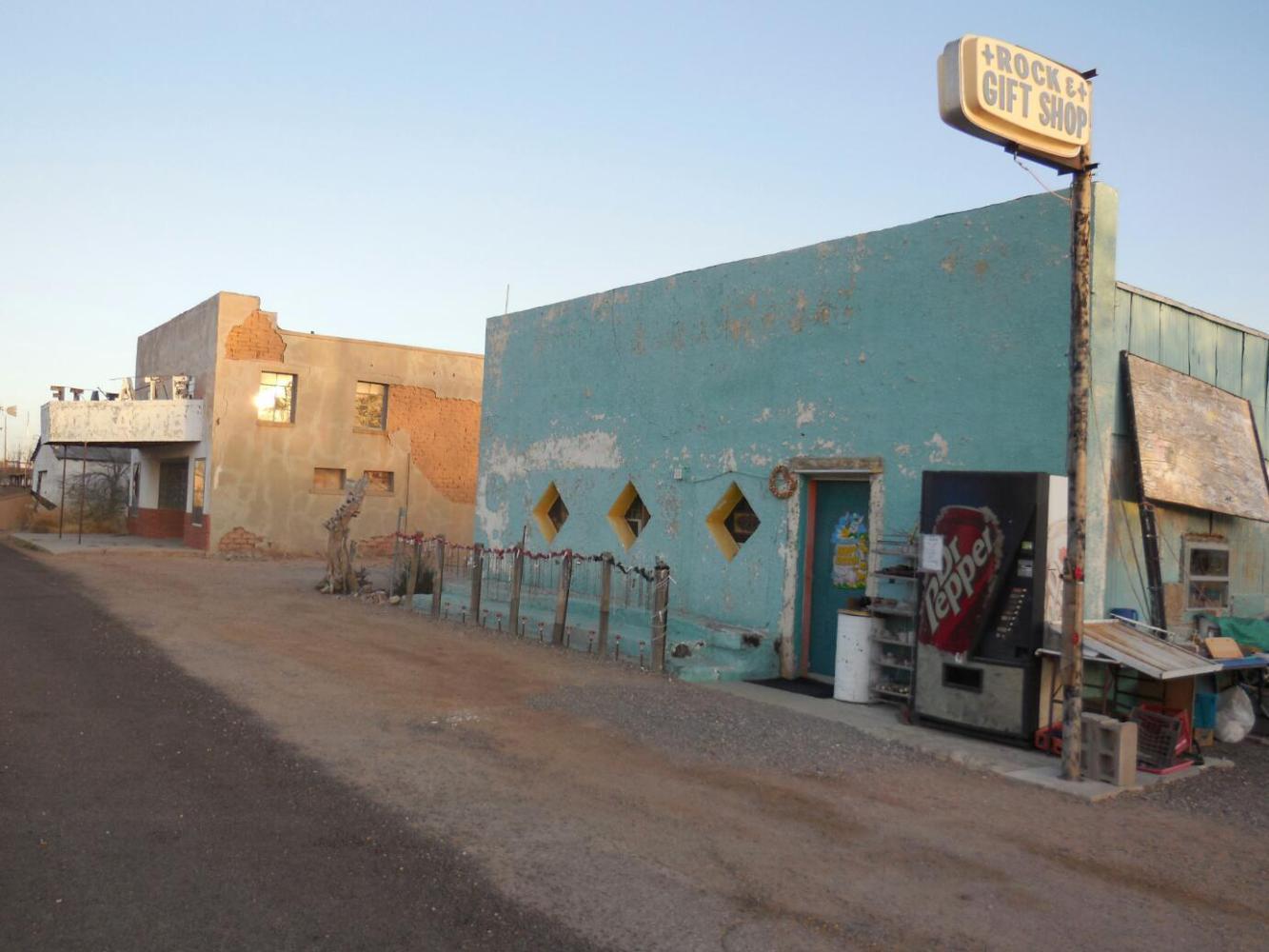
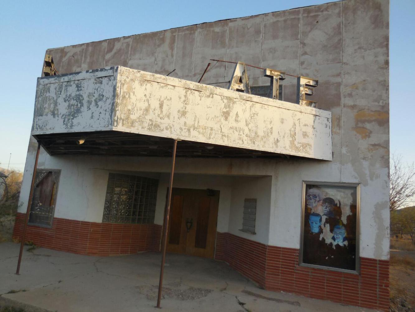
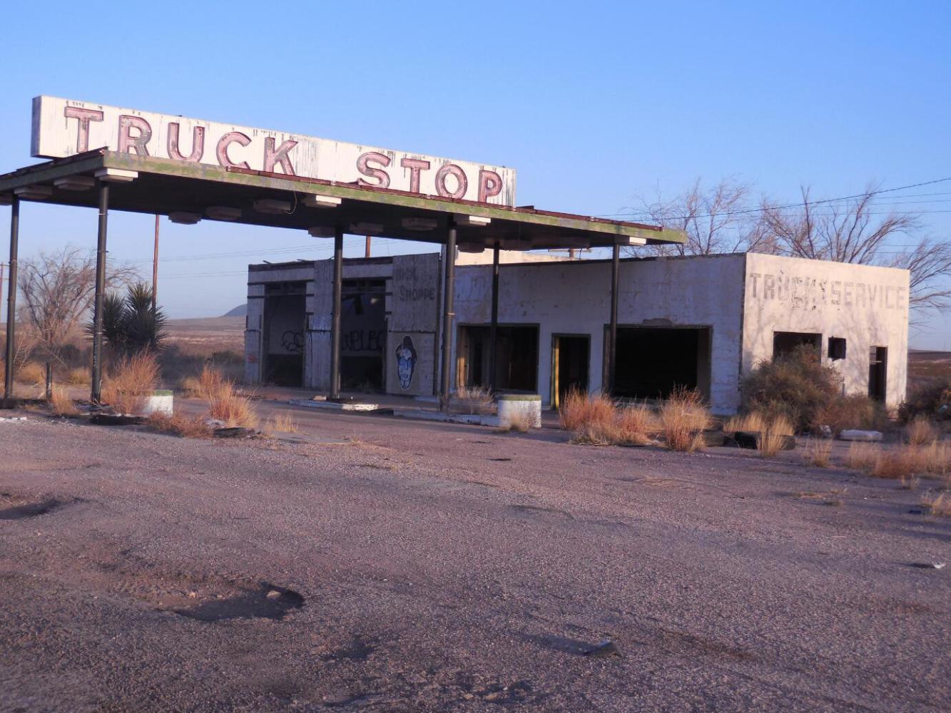
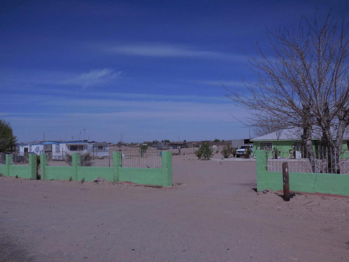
We cycled back through the dead business district, this time getting to see its full length. We can confirm that it is dead from beginning to end. When we passed the not a Motel, our two dogs came out again, and there was another mini confrontation. This time their owner was not involved, too early in the day, presumably.

| Heart | 0 | Comment | 0 | Link |
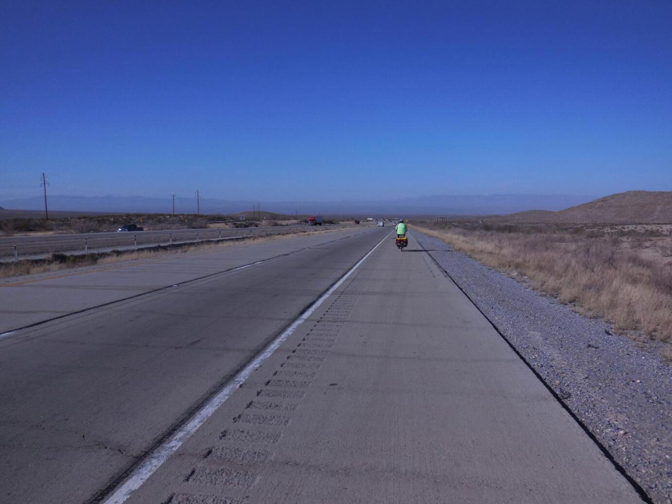
The on ramp for the Interstate gives the choice of entering the big road or continuing on the (ACA recommended) frontage road. As before, the frontage road was rougher than the Interstate and had no shoulder. We chose the Interstate.
The road climbs a tiny bit, and then commences a wonderful (Westbound, that is) 15 km descent. Despite some headwind, we flew down this, receiving a somewhat instant boost from a trip distance of 18 km, up to 33 km. At about 15 km out of Sierra Blanca there is a picnic rest stop on the highway. The Westbound side of this has three teepee like covers on the three tables. The site has no restroom and is on a short loop road, so it receives little traffic. It looked great for a wild camp.
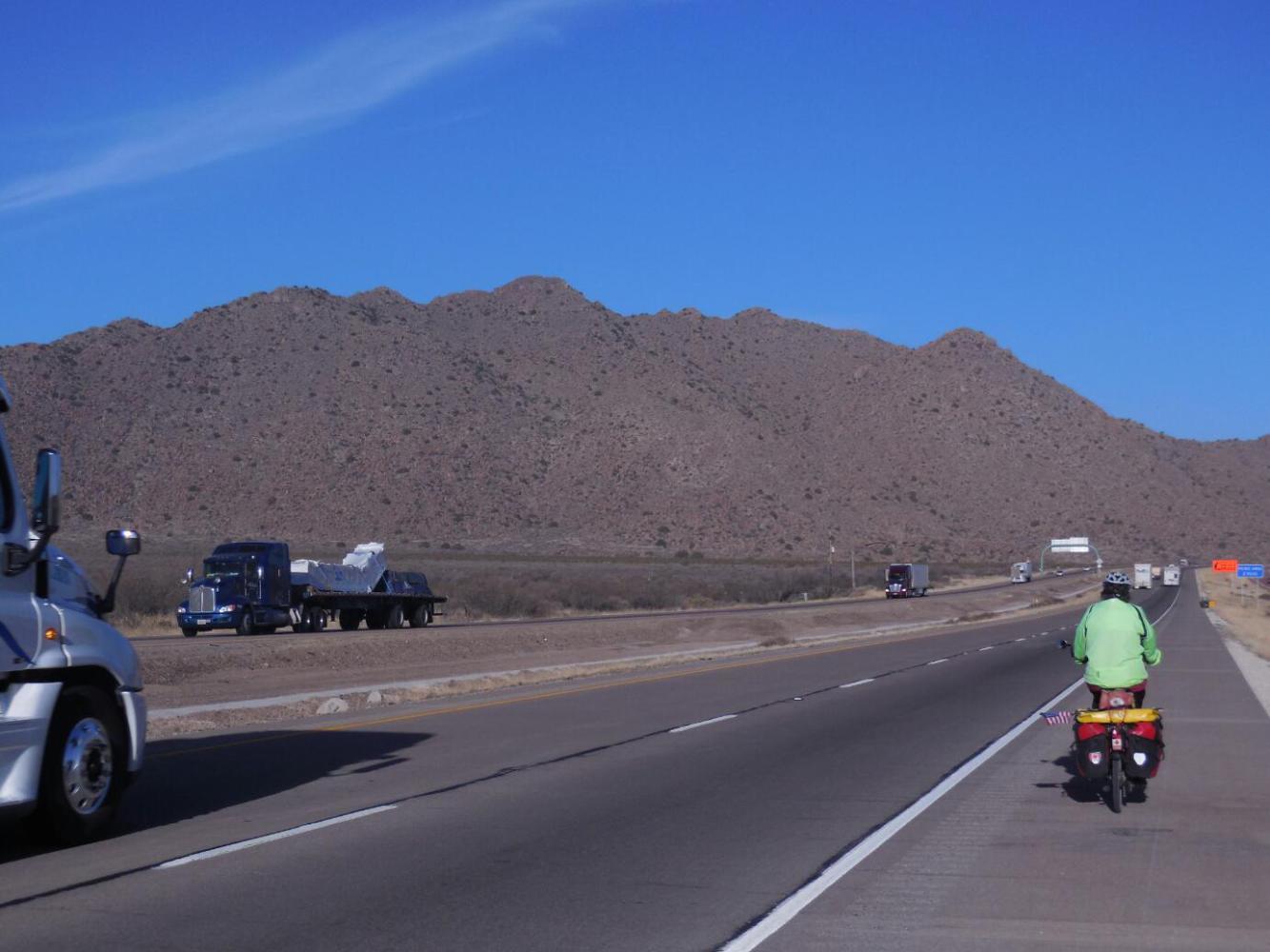
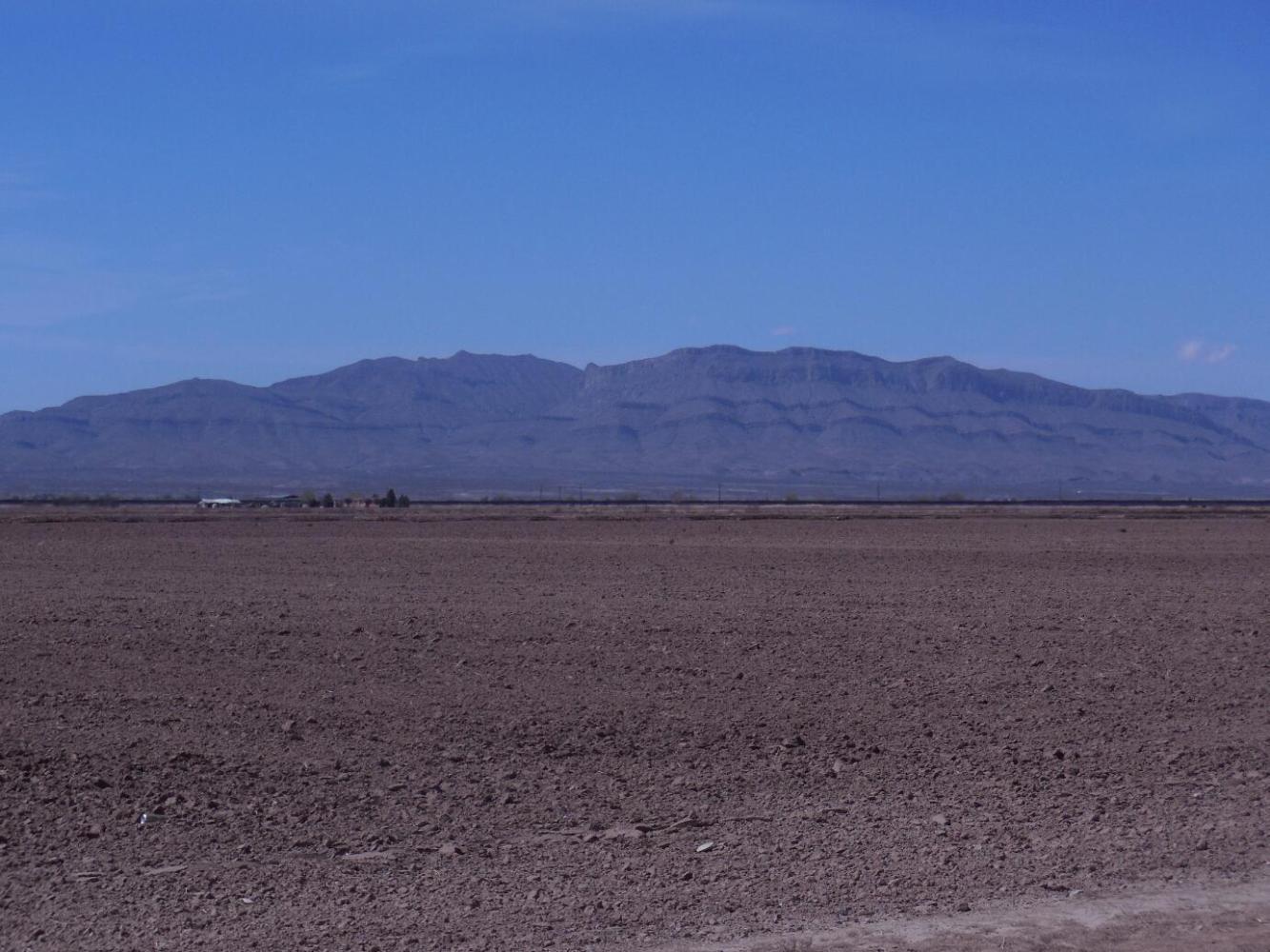
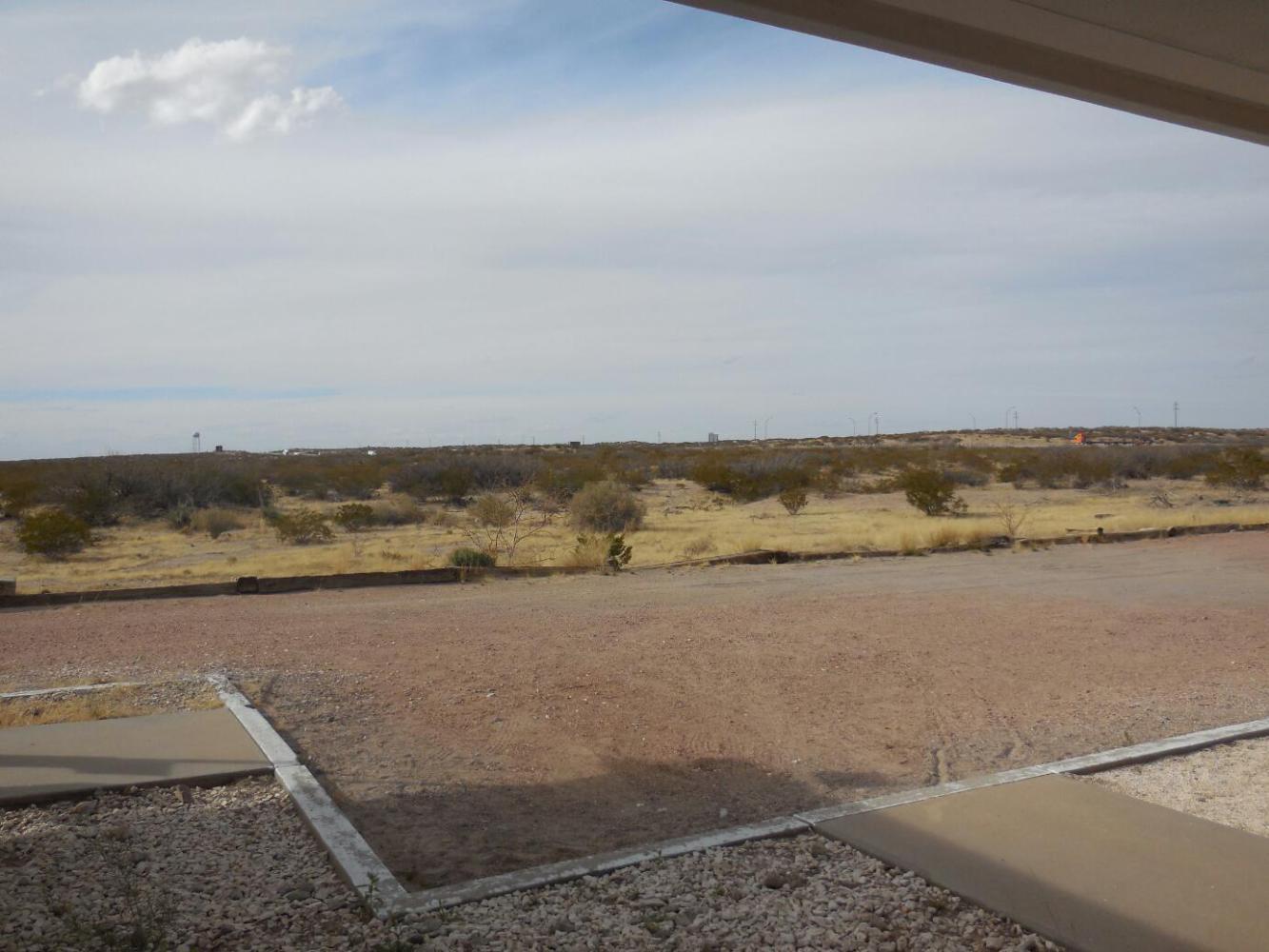
No too long after our great downhill ended, the headwind picked up force and slowed us way down.A vista opened up in which over to our left (South) we could see the line of mountains that must backstop the Rio Grande The river is in front of that, but we could not see it. Then there is a broad plain, marking the territory from the River to I-10. Down there, we could see the road ACA wanted us on.
Maybe just feeling the pressure of that dark red ACA line, and having read their favourable description of the road on the back of our map, we took a left and jogged down to the "official" routeat McNary. While not gravel or anything, the road was rougher than the Interstate shoulder, and itself has little or no shoulder. Traffic was very light, being mainly comprised of police and border agents, contrary to what our deputy had suggested. However the headwind was now from the front left. That meant drafting, for what good it does, required me to be in the centre of the lane, so Dodie could be behind and more toward the (non) shoulder. To do this, I needed to watch where Dodie was and what cars might be coming, not to mention, oh yes, where I was going. This, together with trying to choose and maintain the right speed was more than my little brain could really manage.

| Heart | 0 | Comment | 0 | Link |

| Heart | 0 | Comment | 0 | Link |

| Heart | 0 | Comment | 0 | Link |
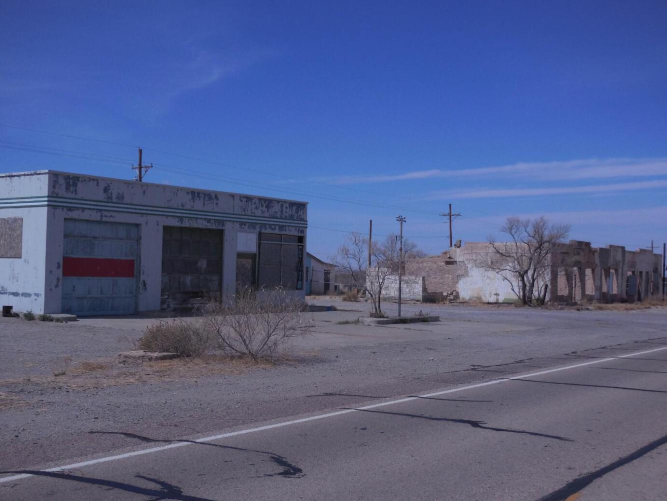
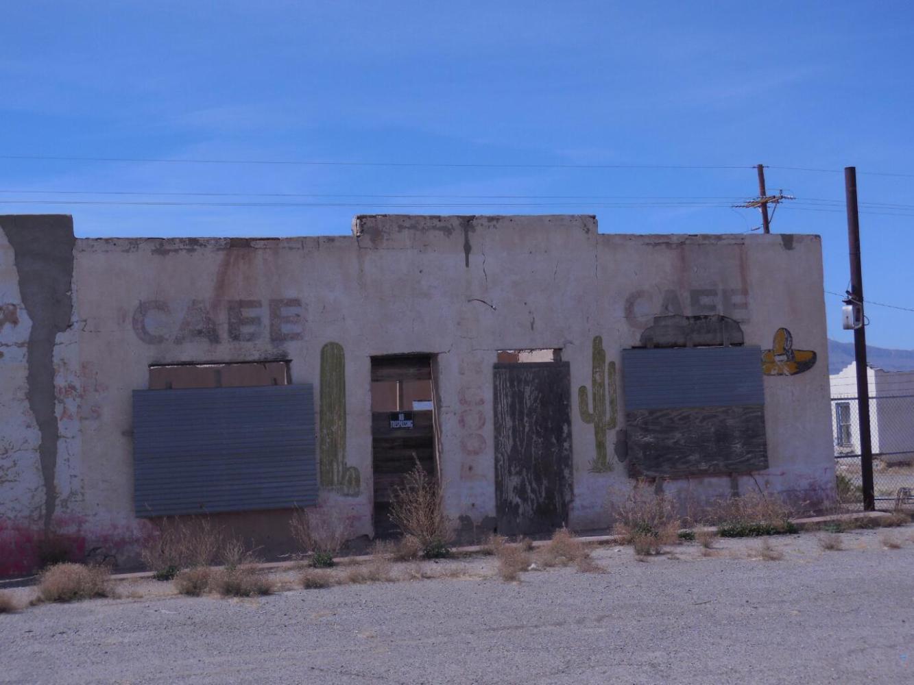
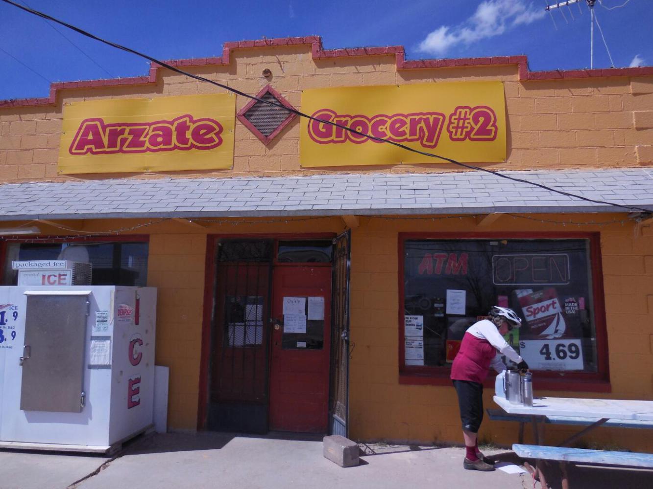
The sun and the headwind were taking their toll on Dodie. We decided to jump back up to the Interstate, and we did that at Fort Hancock. This is another spare and poor town, looking more like Mexico than a part of one of the world's richest nations. We stopped at a (suitably) little Mexican grocery (only grocery in town that is not a handimart) and bought a gallon of water. We are already carrying quite a lot of water, but we foresaw either a wild camp or a camp at some "dry" campgrounds listed by ACA. The other option was a motel at Fabens, 40 km away.
When we got back up to I-10 we found the only motel in Ft. Hancock. It was just 2 p.m., but now with the strong headwind, could we make it to Fabens? I asked Dodie how she felt, since a bonked Dodie out on I-10 seemed like a good possibility. There was no answer, she just stared at me rather vacantly. Since Dodie is the navigator, I then asked about our position. How would it be if we set off on a new day from here, from Fabens? Where were our next stops after that? The answer was pretty much the same.
Had Dodie been able to say "Well, I feel weak but let's rest for 10 minutes and get a drink over at that handimart and give it a try. I feel like I can make it and being at Fabens would really be a big advantage, because our next stop would then be X" then probably we would have gone for it. As it was, I just wanted to get her resting in a dark room.
The forecast is for sun and strong headwinds for the next two days, so maybe the inevitable battle is just postponed. Dodie feels very motivated to get out of West Texas, despite the beauty of the landscape. I think its the poverty that bothers her most (especially when that translates into uncontrolled dogs).
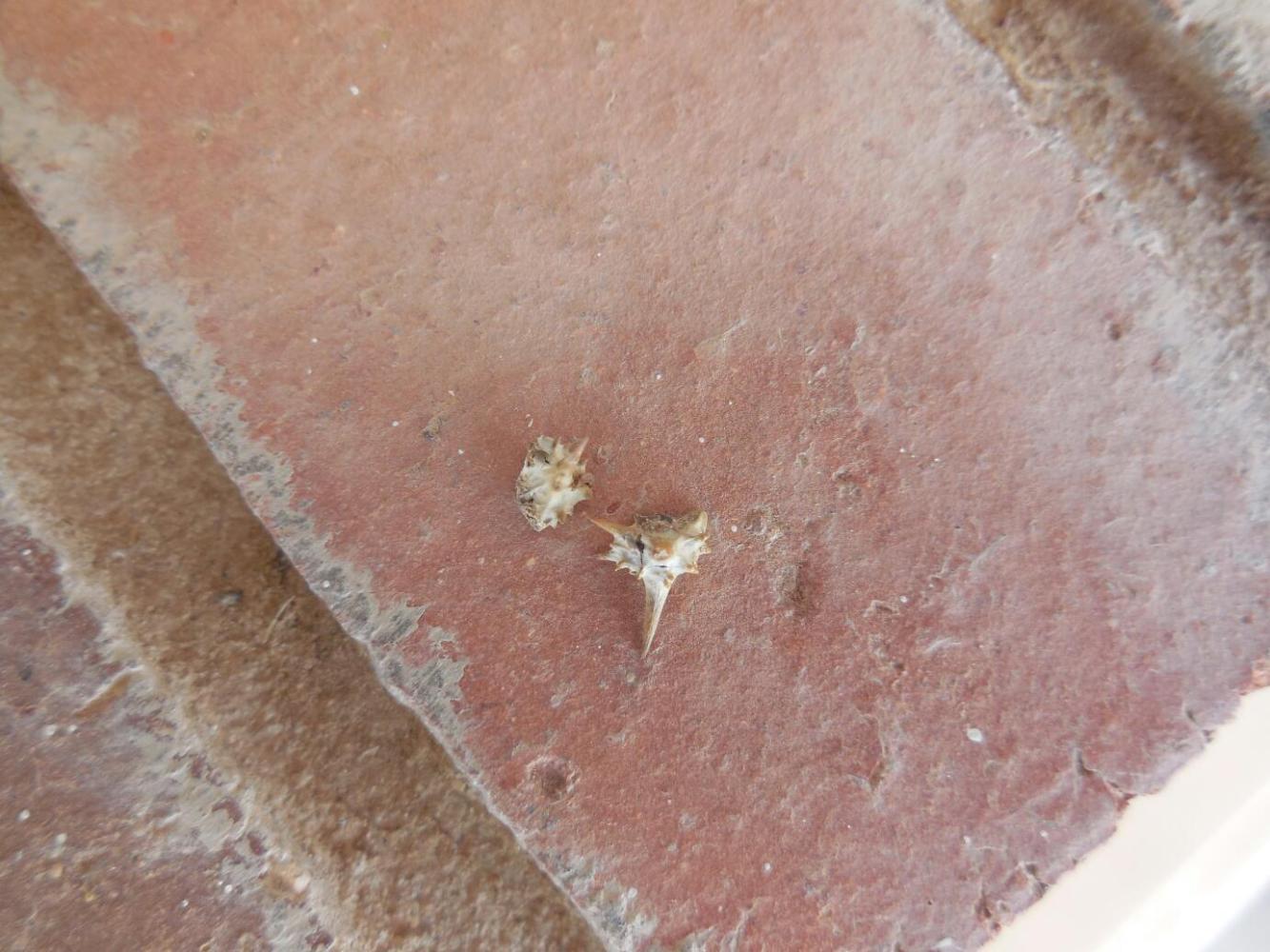
Dodie logged one triumph before her nap. Ever since Del Rio I have been looking for the mythical goathead thorns, the bane of so many cyclists. I have stopped to look for them, and I have admired many a vicious thorn, but none qualified as the famous goathead. So here at the motel we rinsed out some laundry and Dodie went out on the sidewalk to hang them in the sun. She had bare feet, and soon announced "I found a goathead thorn". "Where??" I asked excitedly. "In my foot!" "Wow, great, lessee!" "OK, I found another one" "Where??" "Also in my foot!".
So I started to search the area for the source vine. No luck. Two thorns is our total take so far. Also, I put them on a brick window ledge for a photo, and then they blew away in the headwind. So I am back to being bereft of goatheads. Cyclists who have coped with hundreds of these thorns will be scratching their heads. Just how inept at finding things are these Grampies!

| Heart | 0 | Comment | 0 | Link |
Today's ride: 59 km (37 miles)
Total: 4,070 km (2,527 miles)
| Rate this entry's writing | Heart | 0 |
| Comment on this entry | Comment | 0 |