March 13, 2014
Day 68: Wild Camp before Van Horn to Wild Camp Sierra Blanca
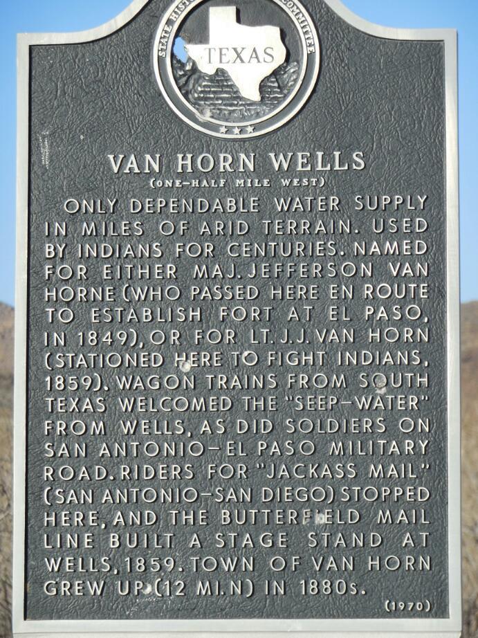
Noon. We are in Van Horn - we made it!!
Now we will take the frontage road of I-10 toward Sierra Blanca, the only next town, 50 km distant. There is just a side wind, no problem, eh!
Here now is the full story of Day 68: (photos still to come)
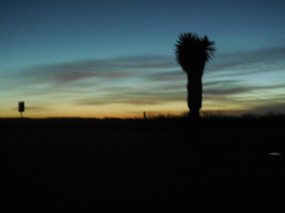
Our alarm went off at 6 but we delayed until 6:30, mostly because the only part of our anatomy sticking out (our noses) detected that it was freezing cold. Given the time zone and season, light comes only at 8 but a 6:30 start is good as it puts us on the road about 20 minutes before the light comes. The temperature this time was 1 C, making packing up in the dark a bit of a trial. Still, by about 9, with the sun up and the temperature rising, things started to feel pretty good.

| Heart | 0 | Comment | 0 | Link |

| Heart | 0 | Comment | 0 | Link |

| Heart | 0 | Comment | 0 | Link |
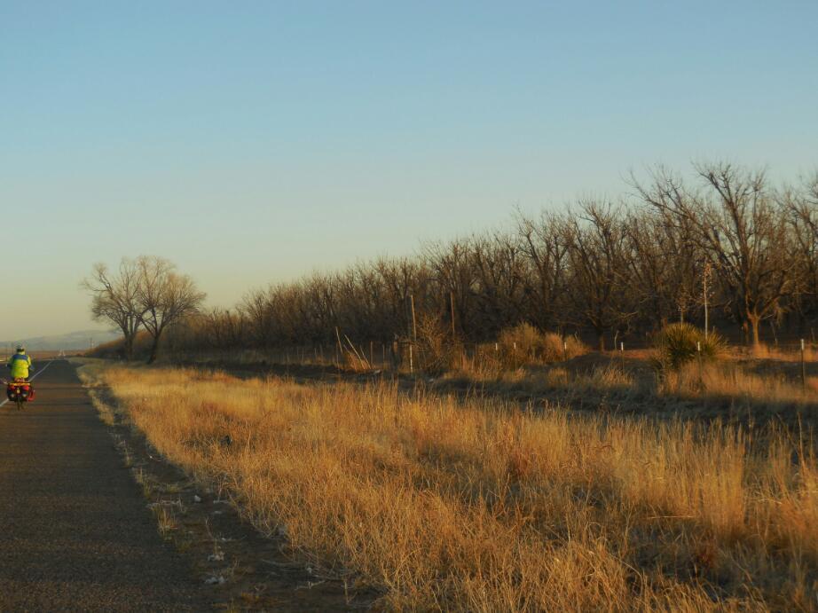
Since this is the desert, the temperature swings quickly, and you have to switch your mindset quickly from "I'm freezing" to "Better take off this thing, then that thing, then where is my bathing suit".
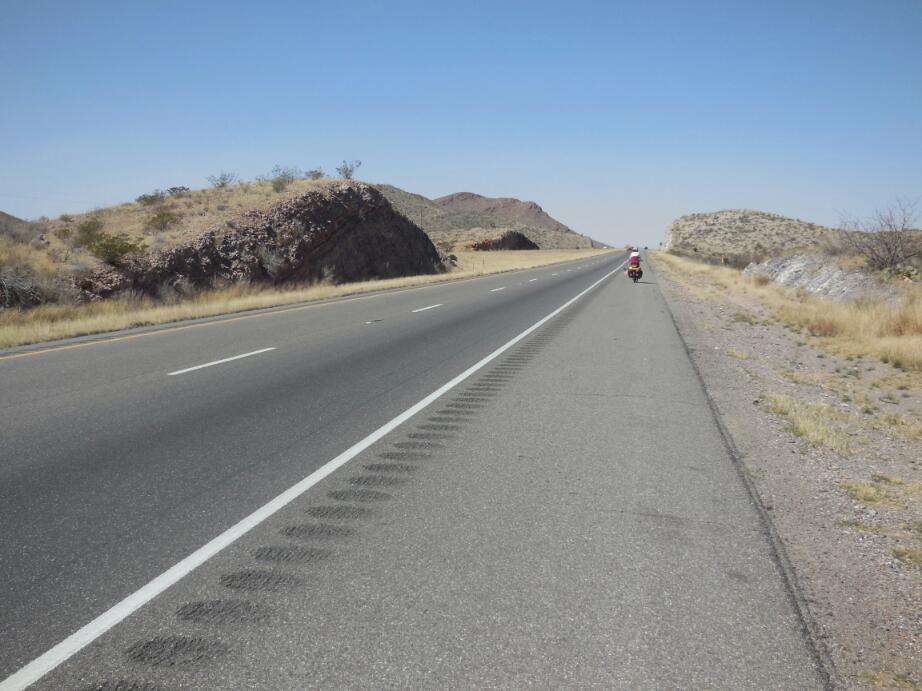
The wind, while not quite the strong tailwind we had hoped for, was a bit of a help, and we cruised along easily. In fact, the wide shoulder and very quiet road was wonderful, and a contrast to what we knew was coming when we would hit the Interstate at Van Horn.
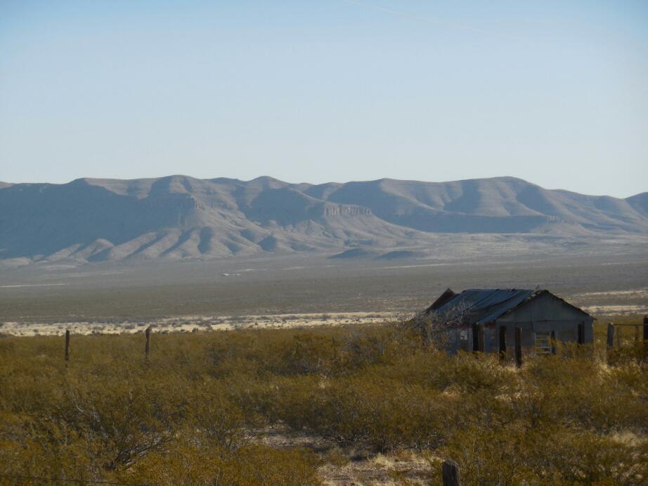
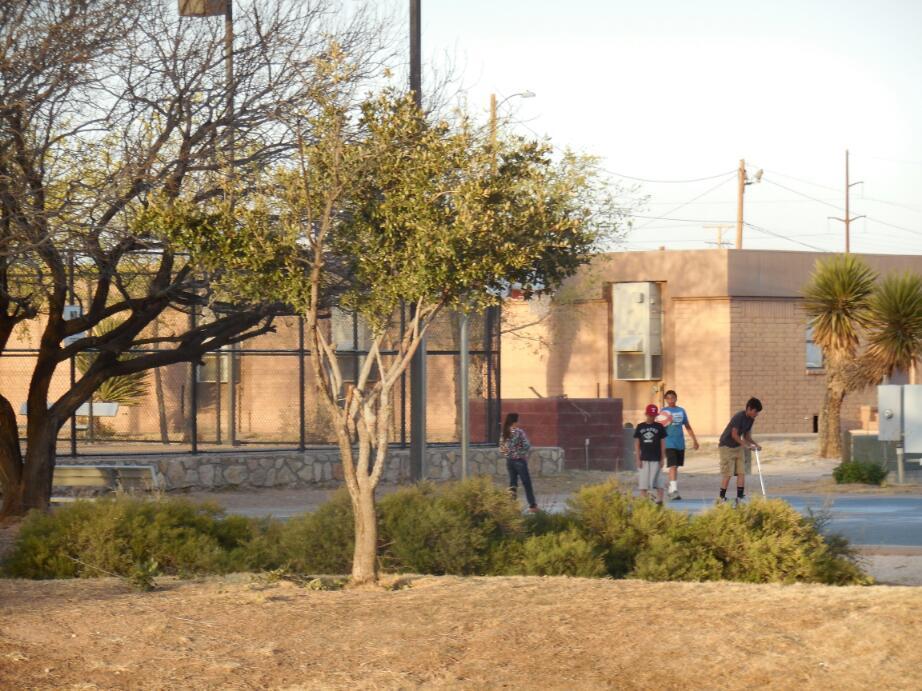
The outskirts of Van Horn revealed not the Mecca we inferred from the big dot on our map and from how hard we worked to get here, but rather a shabby and poor town sustained only by the highway. Several sets of dogs came out from the poor dwellings to chase us off from the humble treasures that must be within. We greeted them with a fair amount of hostility, stopping our bikes and daring them to try something. All of them thought better of it, once they understood our position!
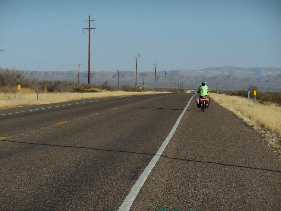
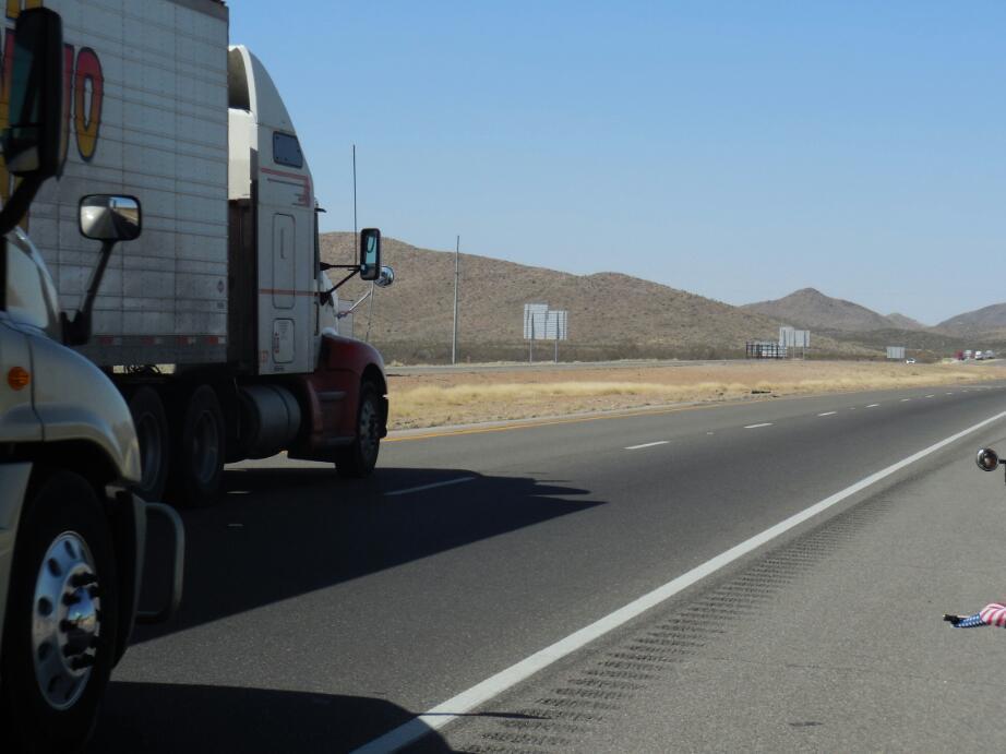
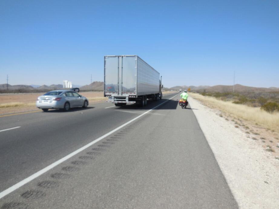
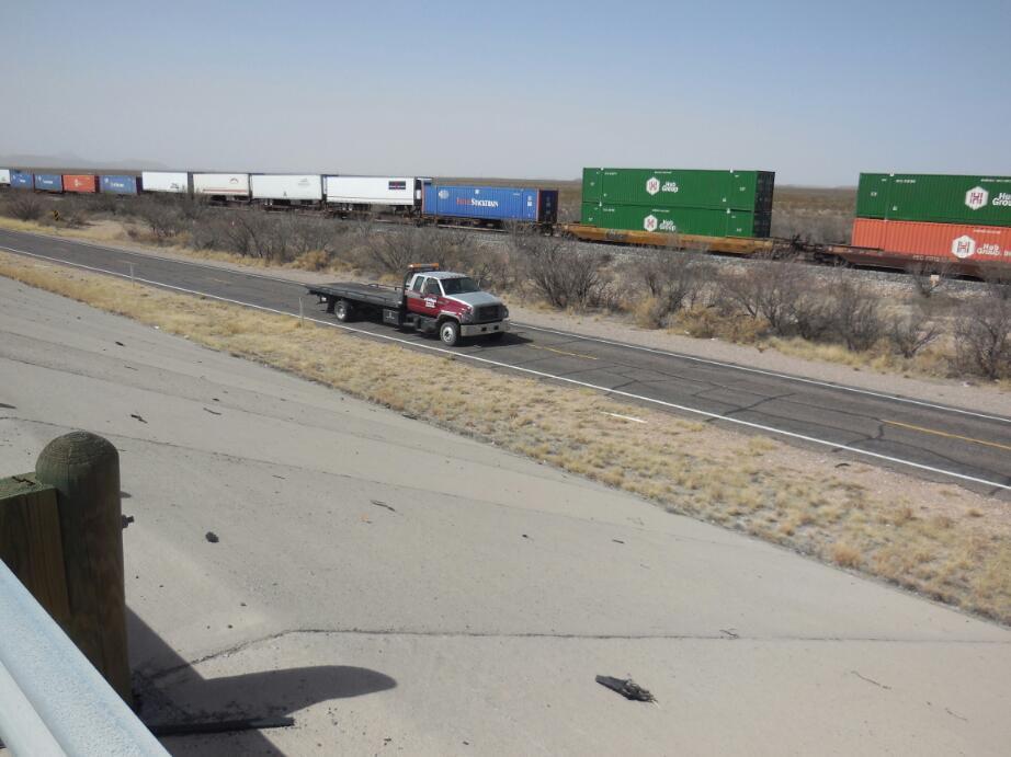
The McDonald's at Van Horn provided the chance to make some blog posting, but time was limited since we wanted to get to Sierra Blanca.So now we took to the Interstate. We had thought at first it would be the frontage road, but the road disappeared almost immediately. The Interstate had a wide shoulder, protected by a rumble strip and in essence was safer than many another road. However it is here that you see just how much America relies on road transport, and the thing had a constant stream of noisy heavy trucks.
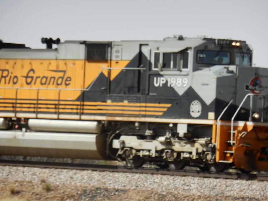
We stuck to the right side of our wide shoulder, which was good because various wide loads encroached on the space, though no vehicles actually crossed the rumble strip. To our right were the train tracks, and two or three trains passed us. We at first thought that here the engineers would not blow the whistle for us, because of the highway, but no, they waved and whistled!
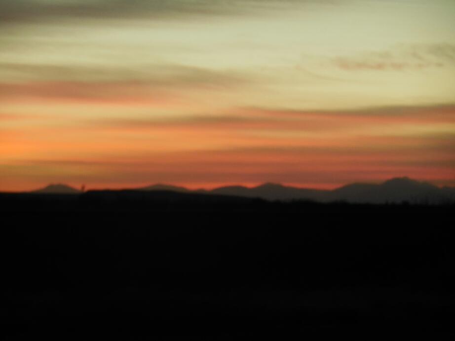
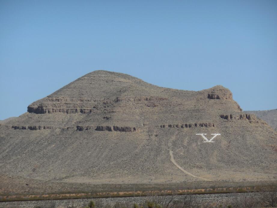
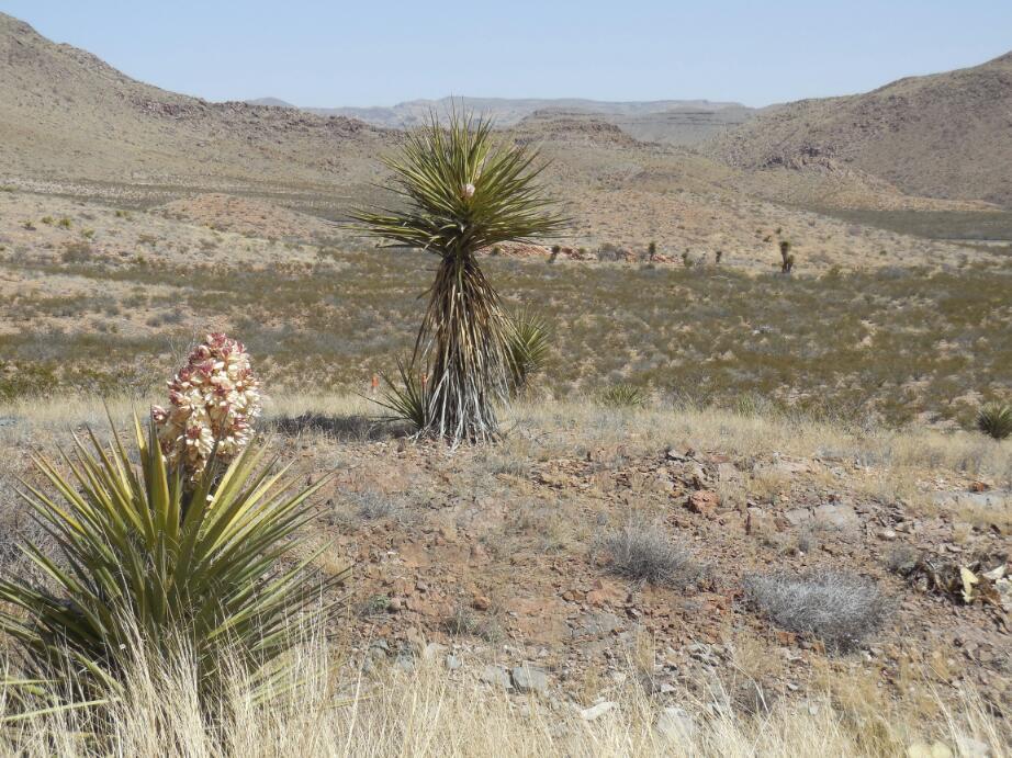
There is one last climb on the route (prior to California) and it is up to Sierra Blanca. However, the wind which had started as a cross wind moved around to give us a hand, and we cruised to the top quite quickly and easily. All around stood distant purple mountains. The operative word is distant, the best place for mountains, in our opinion.

| Heart | 0 | Comment | 0 | Link |
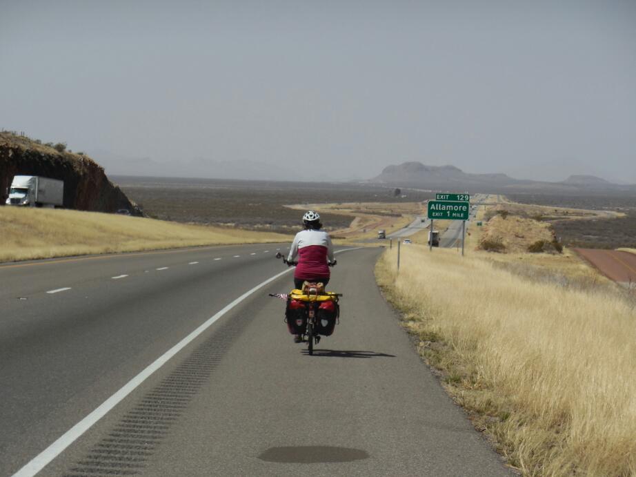
On the other side of the hill the ACA map showed our arrival at Allamore, and appeared to show that we should turn right, go for a bit, and then left onto a frontage road that would go the rest of the way to Sierra Blanca. The right turn took us onto a dirt road, an unlikely choice, even for ACA. So we fired up the GPS, with the ACA track in it, and sure enough it wanted us on this thing. We thought maybe the road changes, so we headed down to the advertised left turn.
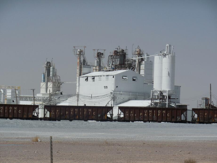
The dirt road ran by an interesting plant, American Talc. Here, bluish grey rocks, clearly mined from the hills beyond, were ground to bluish grey powder. Then apparently by some magic, this became white talc. There was a small mountain of this beside the bluish piles.Later, with internet, we will see what more we can learn about the operation.
At the left turn, the GPS said "Yup this is your corner". We said "No damn way, we're going back to the Interstate". Back on the big road, we saw where the frontage road actually was. It dawned on us that while the GPX was just plain wrong, the map had confused us because ACA mainly thinks West to East. Because the frontage road is on the left side of the Interstate when you look from the West, the map shows the crossing back to the right side, at Allamore.That was the confusing bit, coming from our side. Got it?

| Heart | 0 | Comment | 0 | Link |
Anyway, now that we could see the frontage road, we still rejected it. It's surface was rough and it had no shoulder. The rough surface could easily have cost us an hour or two on the passage to Sierra Blanca.
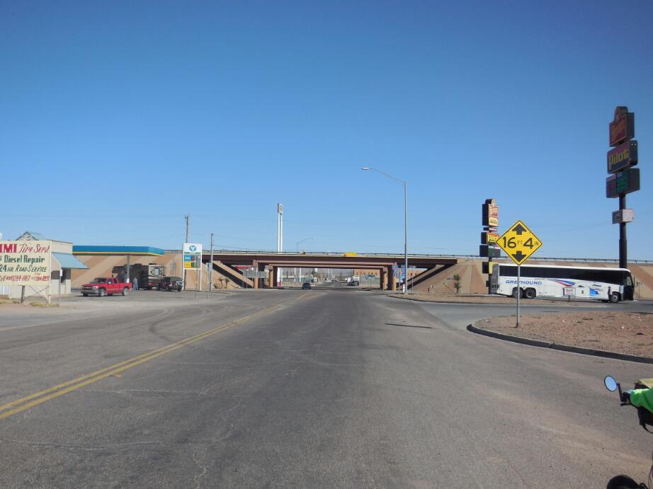
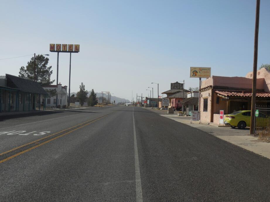
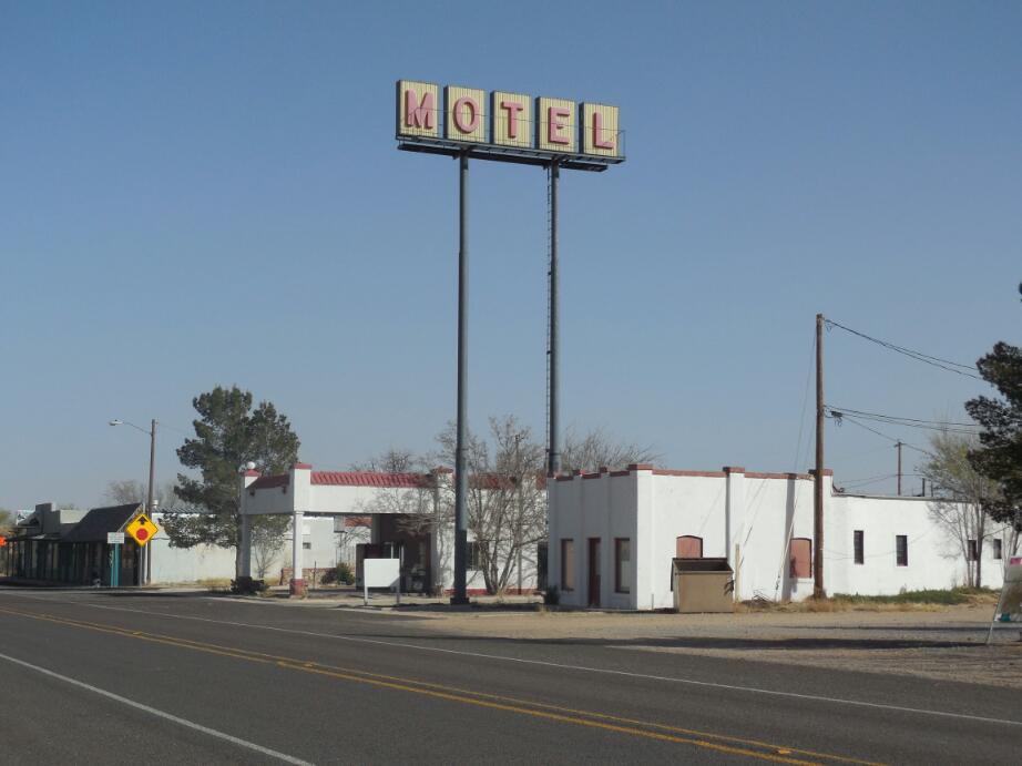
We are so naive, just because we work hard to get to a place, we think it is going to be worth getting to. So when we took the I-10 business loop into town, we expected to see at least some of the usual motel choices.We passed some pretty decrepit, closed shops and cafes, but came to a place where MOTEL was prominently displayed on a high sign. We pulled into the courtyard and were immediately confronted by two aggressive dogs. I pulled my stick and Dodie pulled her spray. A man came out and said "This is not a motel". We said "Whaa?" He said "It's private property. Those dogs are just defending their place. Clear off. Now!" I said "If that is the situation, you should take down this giant Motel sign". "I don't have to and nobody can make me. Now get off this property and go back North where you belong", he retorted. "Well (expletive)", I said, reinforcing it with the traditional hand gesture. "You're not mad enough, we're Texans here you're not mad enough" was his final parry, for whatever that meant.
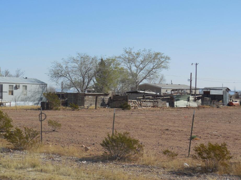
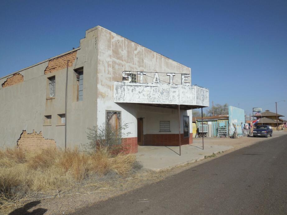
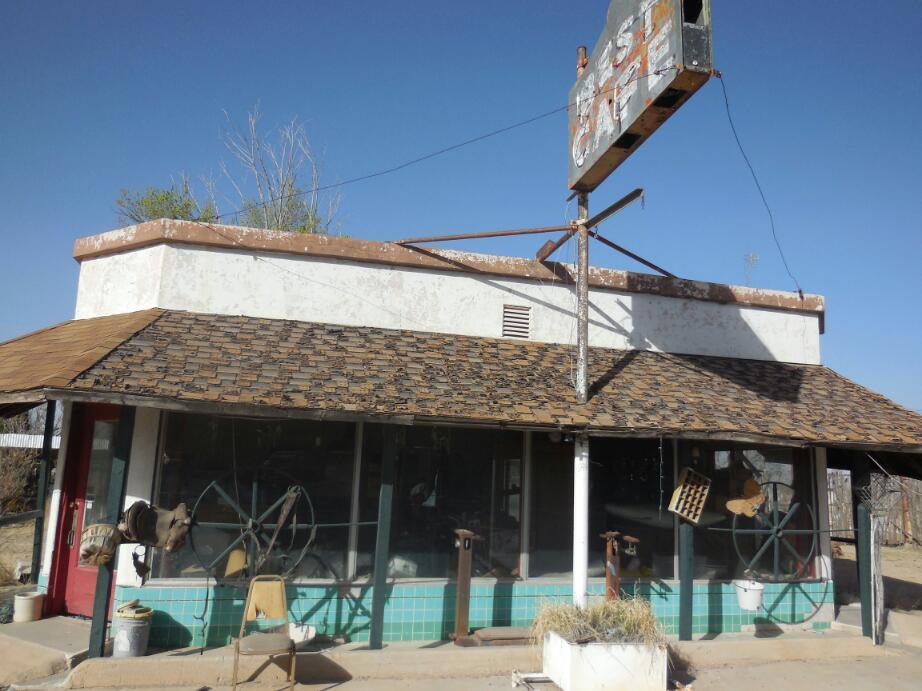
We continued down the "business loop", finding everything decrepit and closed. Except for a curio shop, decrepit but not closed. We ventured inside, and an old woman assured us that the nearest open motel was 30 miles in either direction.Dodie took a moment to rant about those dogs, and the woman agreed. "There are more dogs than people in this town", she said, "Everyone seems to dump dogs here".
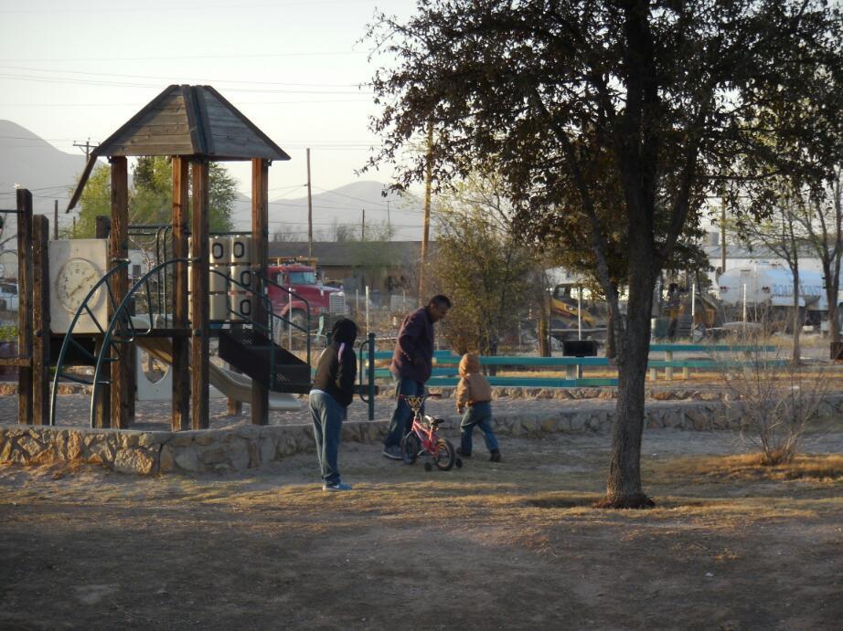
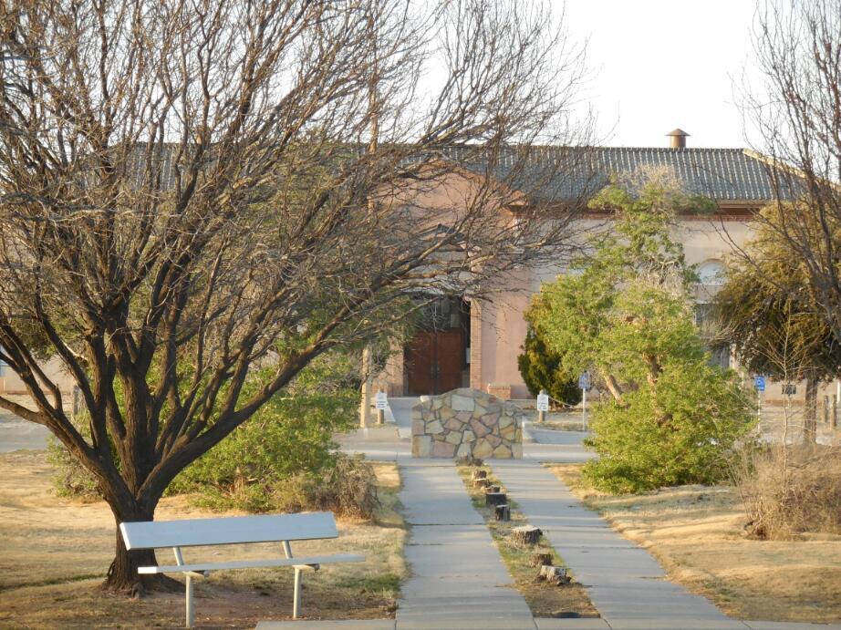
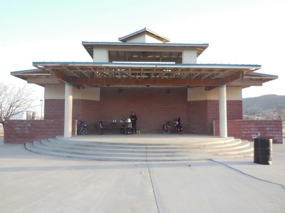
So we headed for the city park, which was mentioned on the ACA map. This involved leaving the precinct of the I-10 itself and of the I-10 business loop. We found the courthouse, the school, and the park. Objectively the park was a great find. It had a bandshell building with large covered area, picnic tables, power, and washrooms! Still, Dodie was freaked. "This town is a podunk shithole", she said " and I don't want to be anywhere near here!".
Still, we carried a picnic table up onto the concrete beneath the overhang, and made plans to pop up the tent there, near dark. There was no cell signal for the tablet (T-Mobile) but the ATT in the phone worked. So I left Dodie with the ability too dial 911 and cycled back towards the highway, where there was a convenience store.I came back with the info that the Subway in the store would open at 6:30, and yes, there was a motel, on the other side of the Interstate. The people in the convenience store, further, seemed entirely normal. I returned to Dodie and tried to convince her that we had just hit a bad part of an ok town. She was having little of it, but agreed to stay at our wonderful campsite.Assuming we meet no goons with baseball bats or packs of wild dogs in the night, it will indeed be one of the best ever!
6:00 a.m. now. Well the two assumptions for a good night from the last sentence were broken, not dramatically, but enough to prevent a good night's sleep. First, a group of teenagers appeared in the park and aside from riding their skateboards in the dark on the concrete in front of our bandstand, began to play some silly variant of hide and go seek, in the dark, This had them running around shouting and lurking this side and that. Since it would have been great fun to snatch one of our bags or shake the tent, I sat out, waiting for it to be past their bedtimes.That was costly, since my own bedtime is 9 p.m. for a 5 a.m. wake up.
Next dogs. Loose dogs roamed through the park, and at one point one started barking, not at us but just generally, just by the tent. At one point in the night, at a little distance, there was a group chorus of barking. It seemed to involve about a dozen dogs.
So as I say, nothing to worry about, but disturbing packs of unruly humans and dogs. Dodie's assessment of the place is looking stronger now.
At first glance, there are lots of towns along the Rio Grande on the way from here to El Paso. However most have no services. We might just stick on I-10, unless and until thrown off. If we find some cell signal over at the Subway, this will be an unresolved question. But if we only posted this later, you can look down a few lines and see what happened!
Ah, a deputy sheriff just walked over from his patrol car, says he saw our lights. He agreed with us that this town has some problems. He recommended shooting any troublesome dogs! About the scuzzy area, he said it was killed by I-10. Most significantly, we asked about the best route for us to El Paso. He said stay away from the towns south of I-10. They have lost control of these to the cartels, he said. Further, the head of Sina Loa was just captured, and they expect all hell to break loose in the resultant shakeup. North of I-10, they feel their patrols are dense enough. I-10 itself, though, he said is the main conduit for drugs. Once across the border, they will mainly be shipped East.
| Rate this entry's writing | Heart | 1 |
| Comment on this entry | Comment | 0 |