April 19, 2018
Day 79: Nakhon Si Thammarat - Thung Song
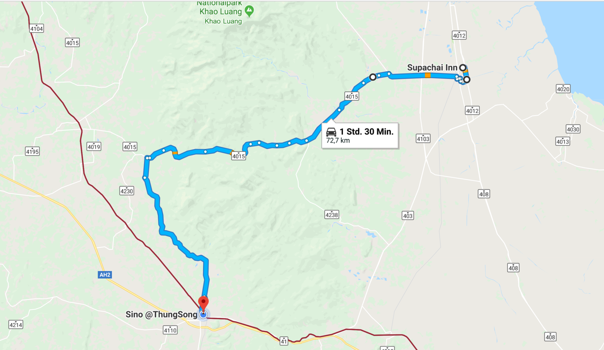
Routing: #4016, 4015, 4014
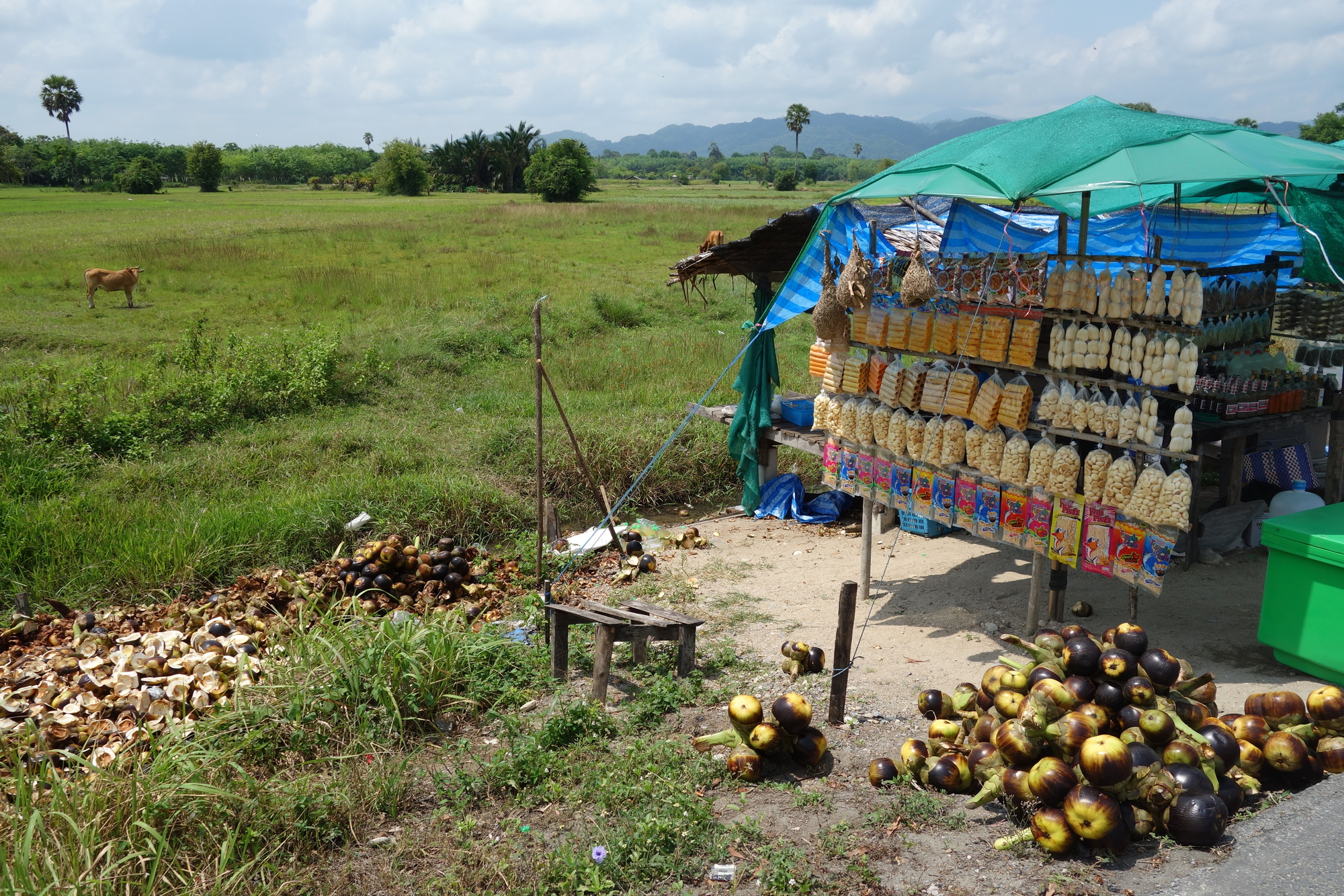
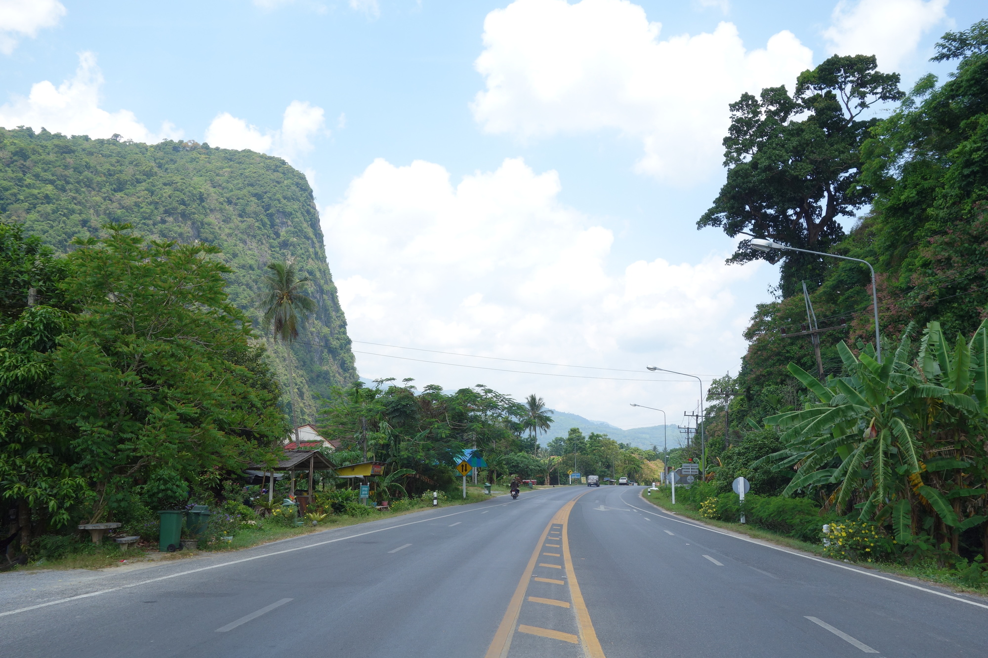
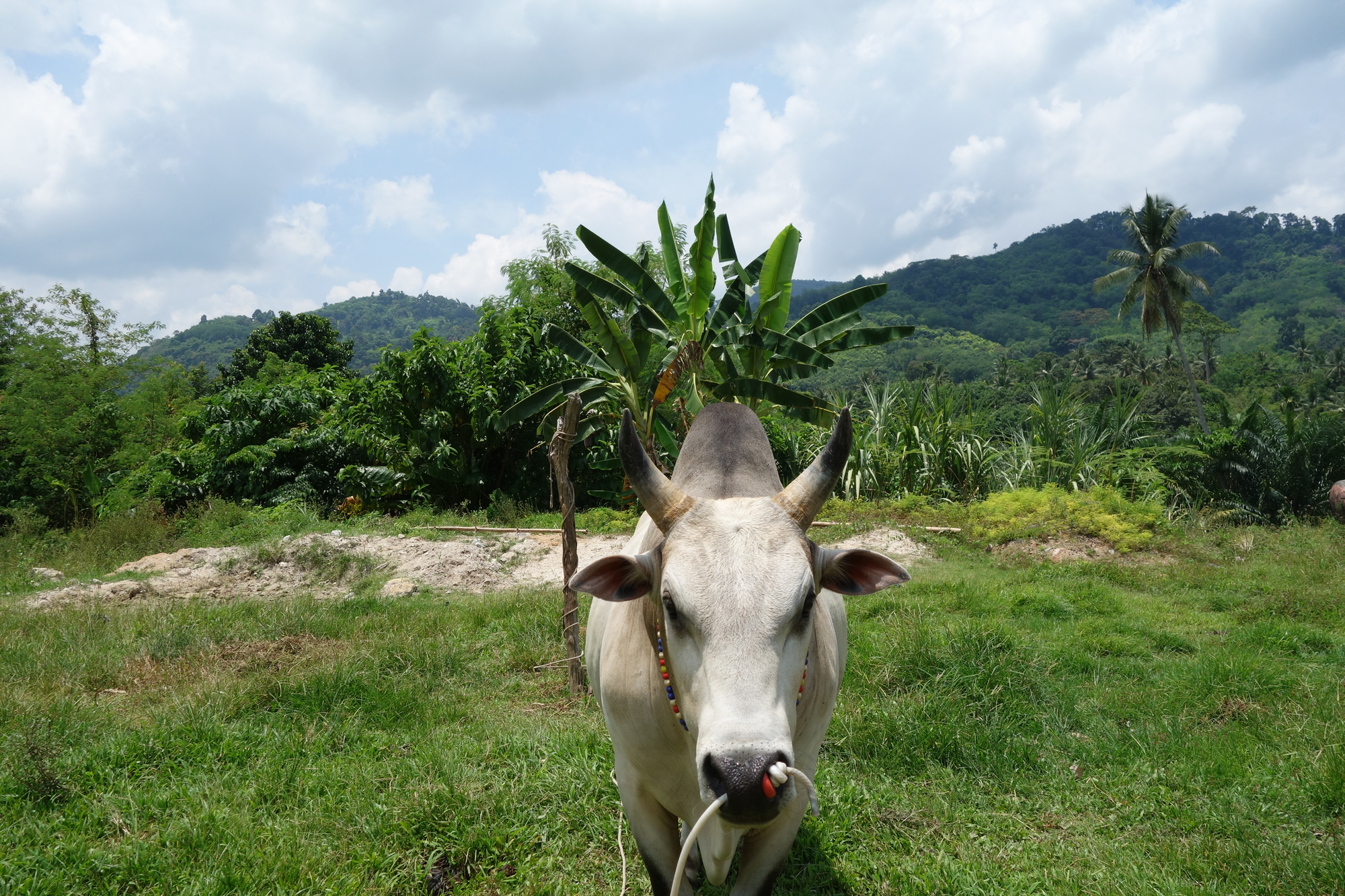
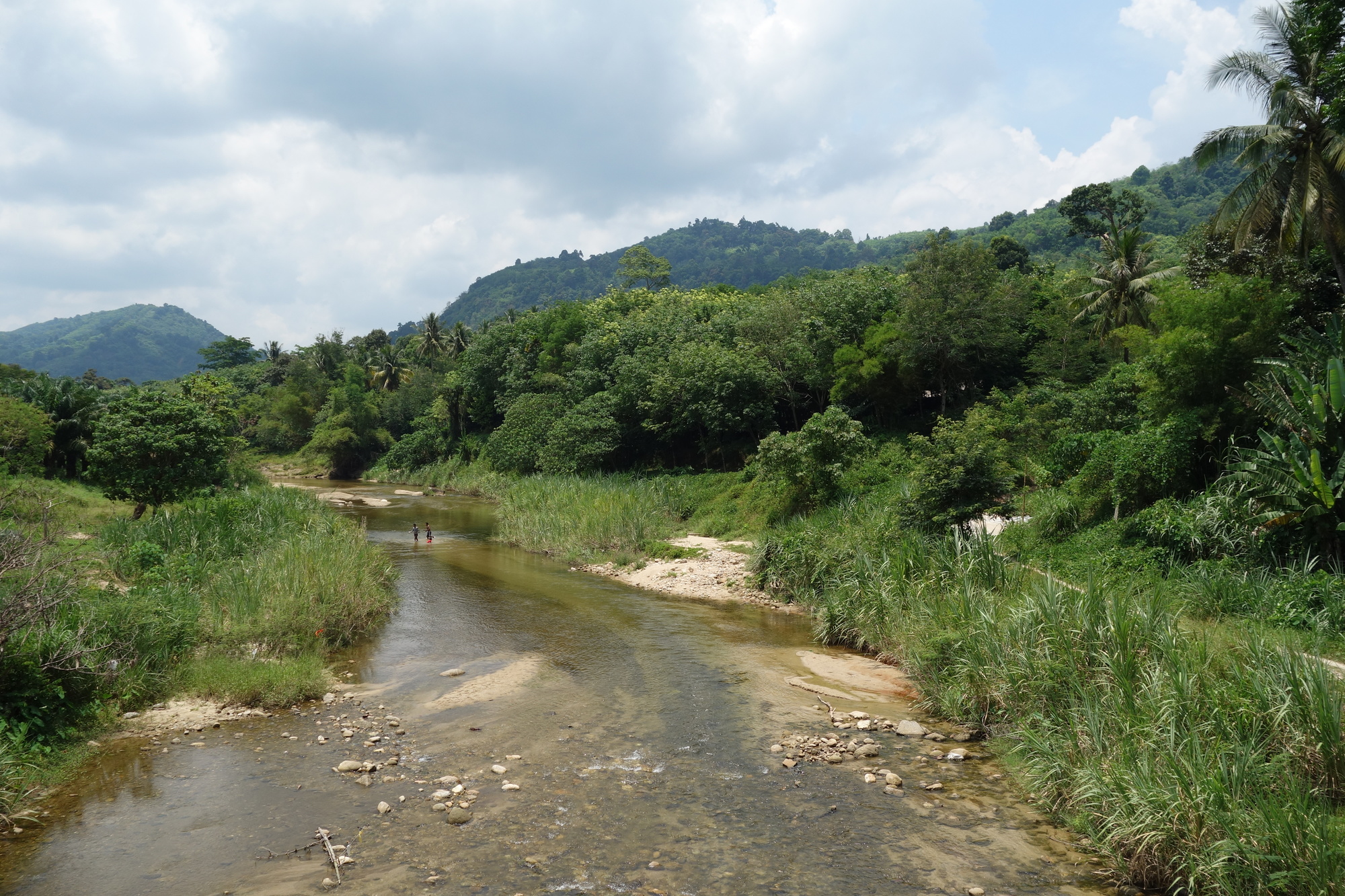
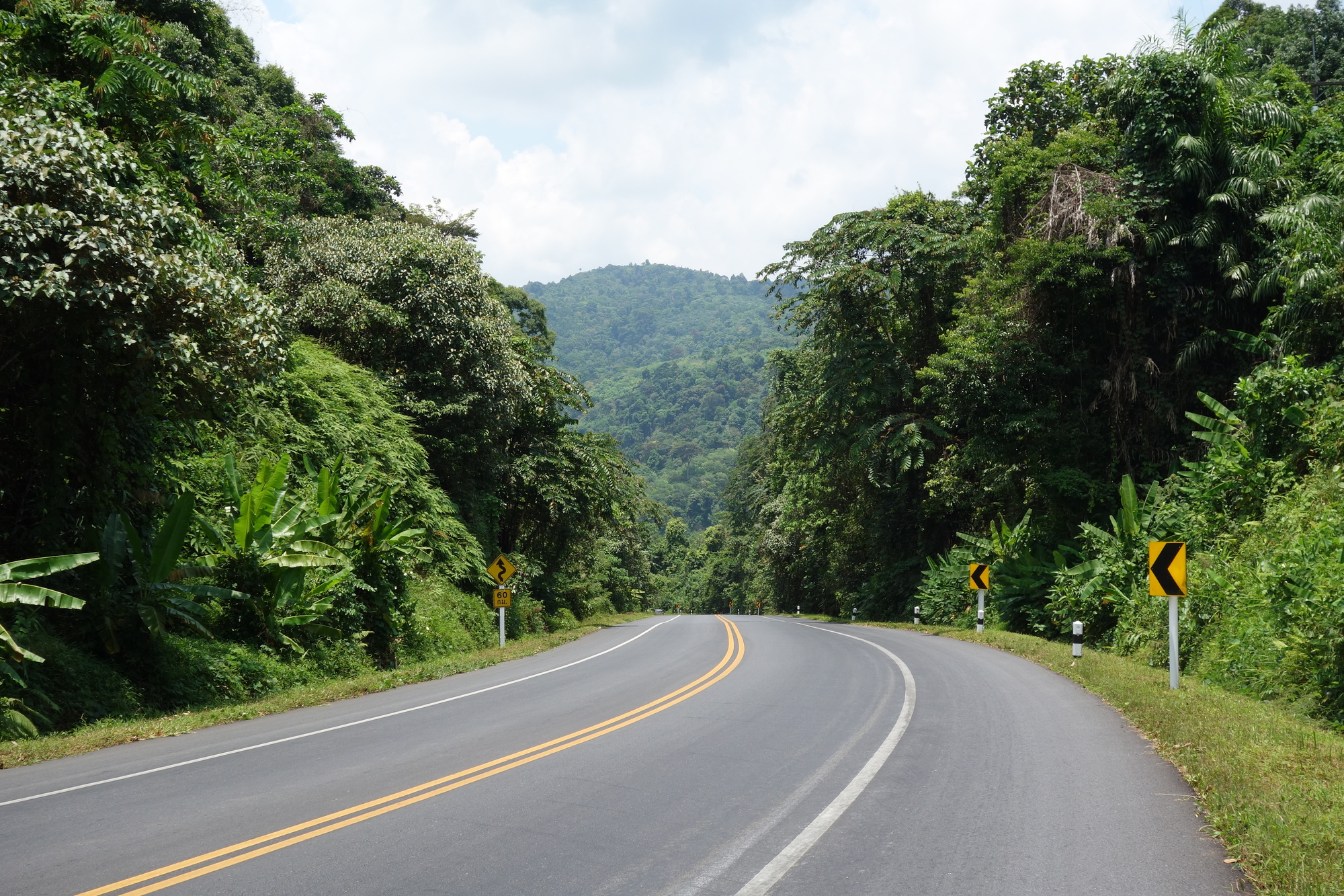
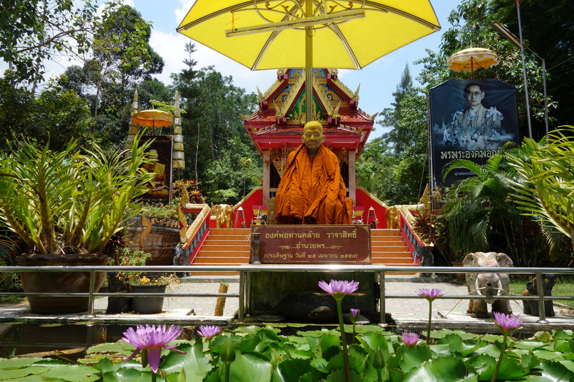
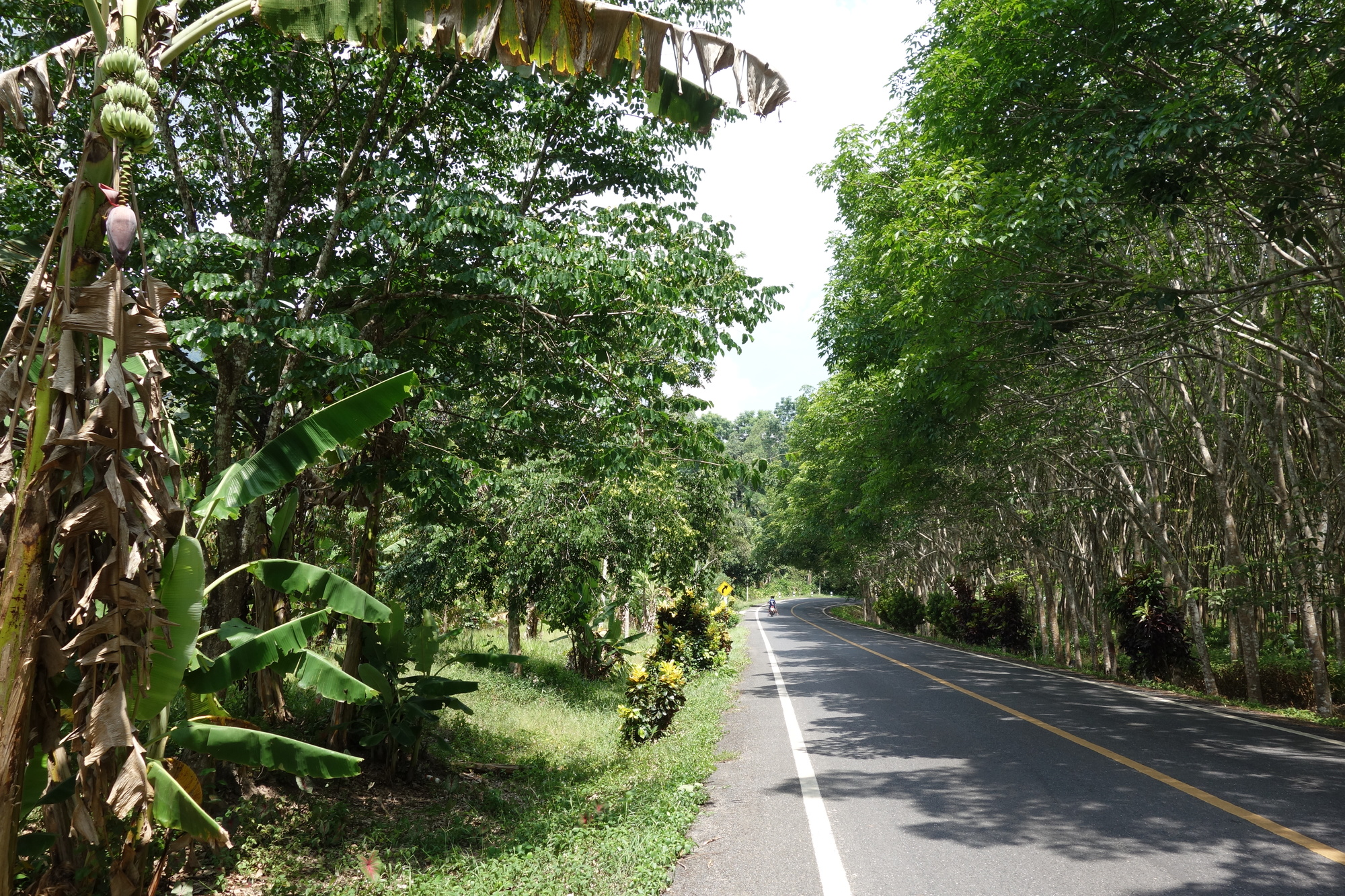
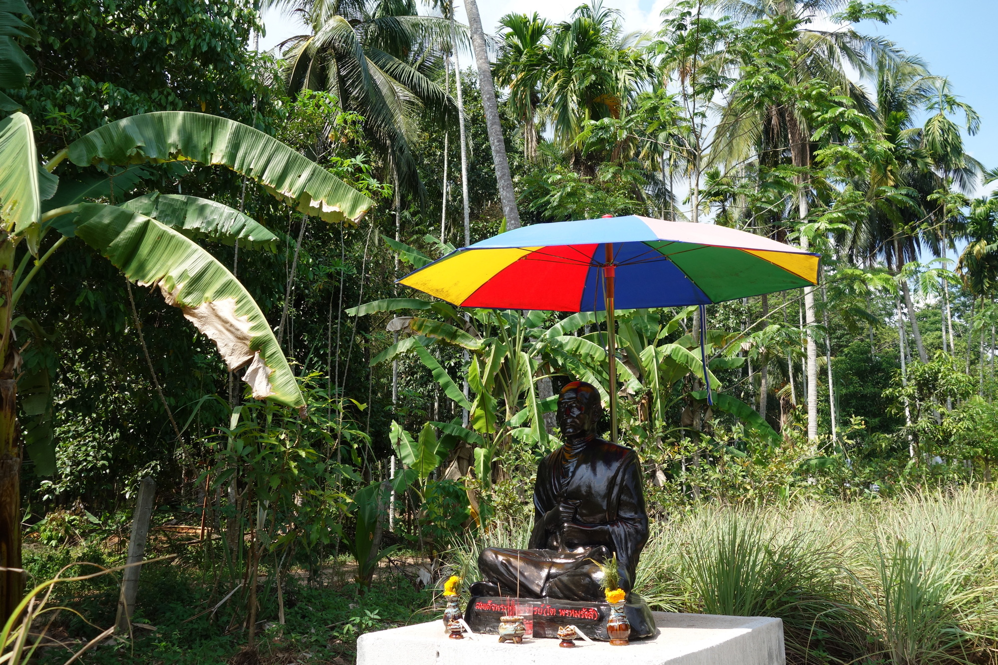
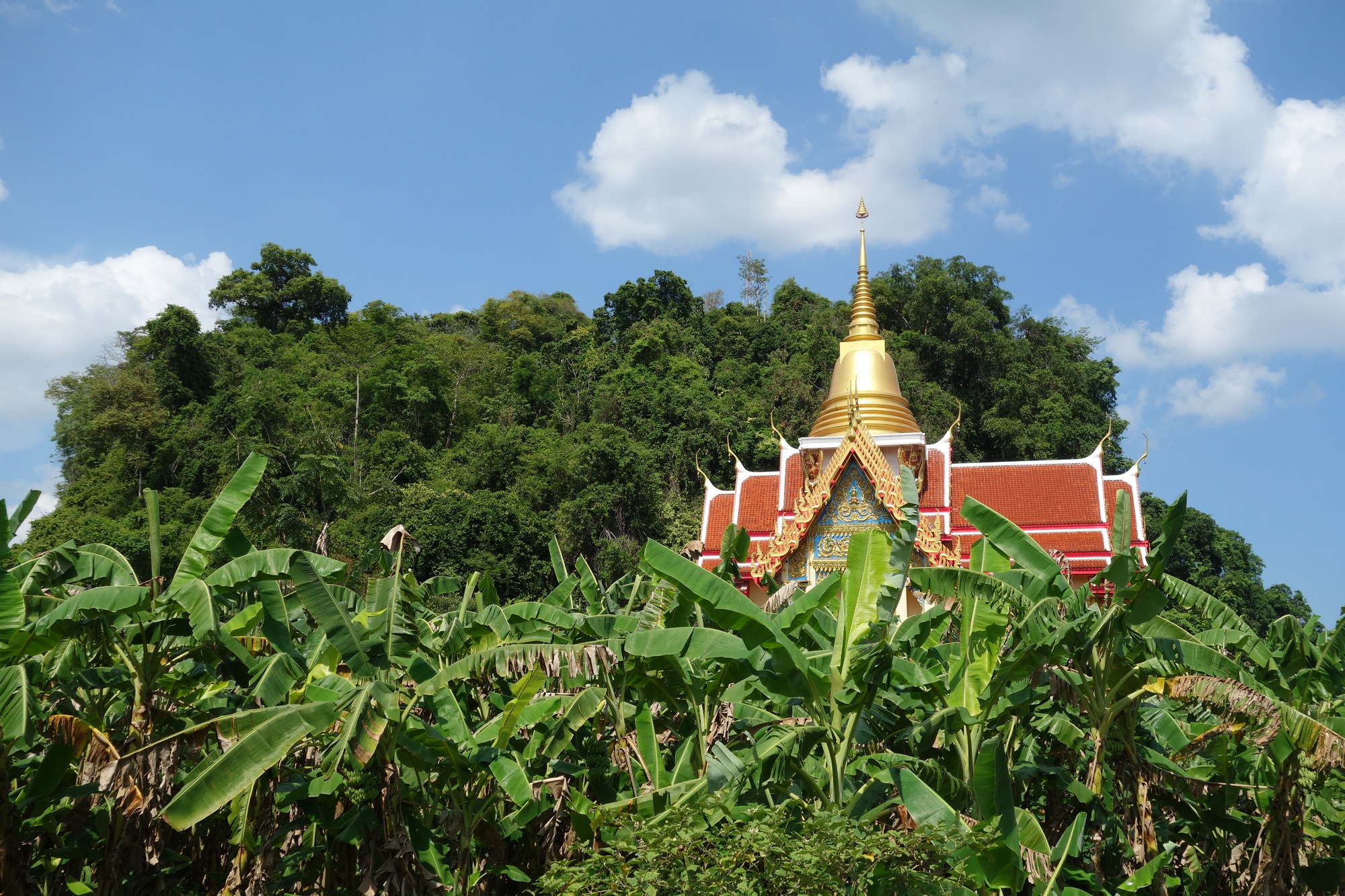
I had three options getting to Thung Song and the one I picked is the longest, the most challenging but certainly the nicest ride too. You will see from the chart below there is one real climb right in the middle, about 2 km long and quiet steep. Still nothing you would write a book about but in this extreme heat (felt temperature 40 C today) I found it very difficult getting up to the top and had an extended rest at the little temple compound. I would always pick that same route again though. It is a tropical ride once you are on the #4015 with a couple of National Parks on the way. There are a lot of plantations (rubber in particular) too but it never becomes monotonous or boring. I liked the last bit along the #4014 best, even though there was more sweat generated due to permanent undulations.
Before my departure I had to deal with an unpleasant result of the heat rides over the last few days though. I lost some skin in the crotch area and the open wound of the size of a finger nail gives me a lot of uncomfort when riding and sweating again. I am very surprised this still happened after more than 4 months in the saddle but that´s obviously another lesson learnt: the cortisone cream does not only help against sandfly bites.
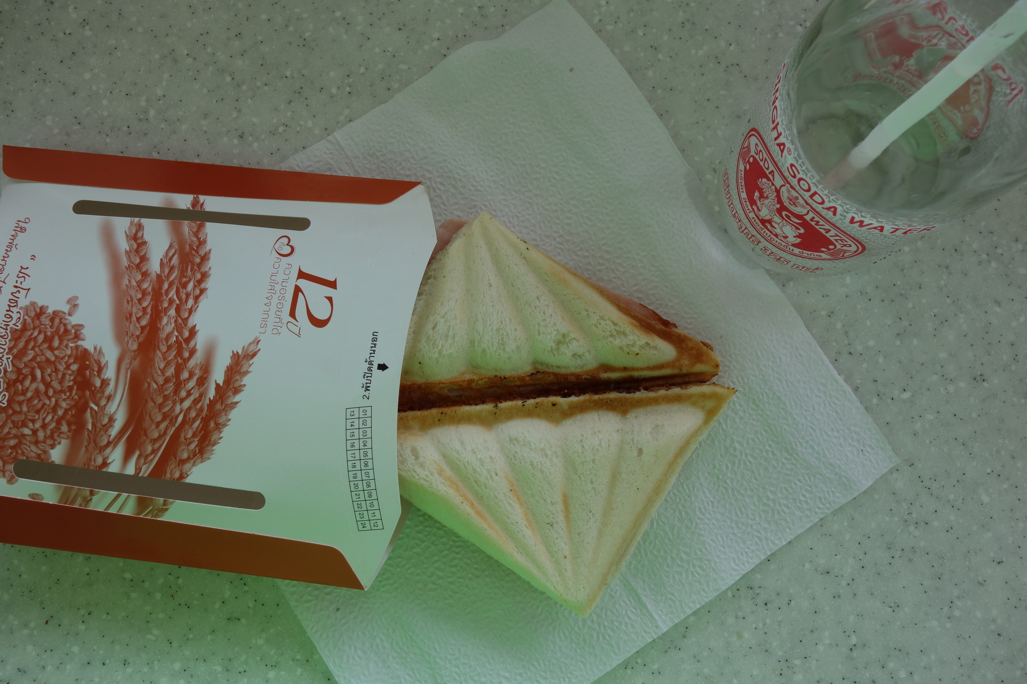
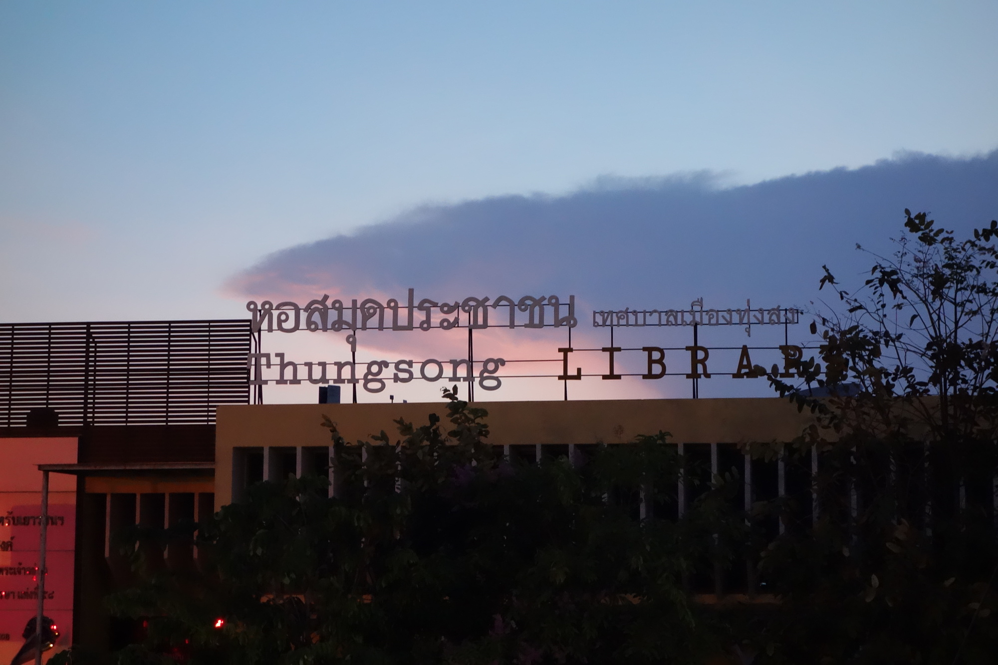
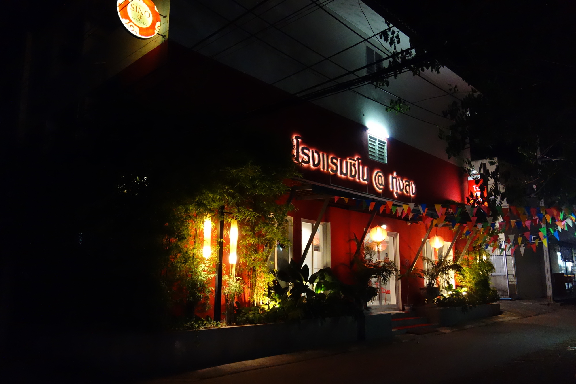
Back to a far more appetizing topic, Thung Song and its vast array of excellent food. I came here first in 2012 and had never heard of the place. I stayed in a rather modest hotel but still liked the town due to the great food options I had at night. This time I booked myself into the friendly Sino @Thungsong Hotel (460 B through agoda) and had an even better time. For some reason I had a lot of mosquitoes in my ac room but would not blame the hotel staff but the person who was in the room before me I guess. I really like Thung Song and I find it difficult bringing it to a point why that is. I mentioned the food situation above but the town itself has got that pleasant vibe too. Very relaxed, genuinely Thai.
But in the very end it is just the day before! An Aussie, a Californian,two Singaporeans and a German meet in Trang..... Sounds like the start of a bad joke but should become the very highlight of this whole trip. I have been talking about it several times and tomorrow I will meet all those "veterans" of cyclo touring. Can´t wait!
| Heart | 2 | Comment | 2 | Link |
| Heart | 2 | Comment | 0 | Link |
| Heart | 2 | Comment | 0 | Link |
| Heart | 4 | Comment | 0 | Link |

| Heart | 0 | Comment | 3 | Link |
As it is in German language some quick handling advice:
The site will open with two waypoints in Switzerland. Click the "Neu starten..." button to delete them. Then go to the right and set "Art der Route" auf Autoroute. Now put your start and finish point into the search box. You will get the normal google maps result (which you can alter by pulling the route) and below the altitude chart. I do screenshots (windows + print) and cut them with picasa. Done!
6 years ago
Today's ride: 70 km (43 miles)
Total: 5,832 km (3,622 miles)
| Rate this entry's writing | Heart | 5 |
| Comment on this entry | Comment | 3 |
6 years ago
Thanks for the kind words. We're having a sizzling time the past 4 days and I mean temps from 37 to 41 C. It takes so much energy out of us but we push on. Then there's the infernal headwinds. Ah well. The goal is Penang where good food awaits.
6 years ago
6 years ago
6 years ago