April 21, 2015
Mt Pleasant to Georgetown
This was our 24th riding day without rain! And what a gorgeous day it was! Blue sky, a few fluffy white clouds, a coolish temperature, and promises of a warm-up to the low 70s.
| Heart | 0 | Comment | 0 | Link |
After breakfast we made our way through a local (apparently private) neighborhood to SC-41. Parts of this route were very beautiful and included an elevated bridge through a wooded swamp section.

| Heart | 0 | Comment | 0 | Link |
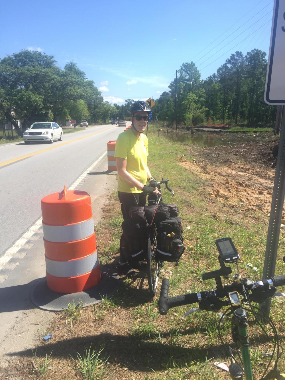
US-17 looked horrible on the ride from the KOA campsite to our breakfast stop. We had to pass SC-41 on the way, and I noted the dual left turns from US-17 North to SC-41 West and saw the heavy traffic movements. So when we finally arrived at SC-41, it was at an unsignalized intersection where we had to make a left turn to go west. But the parade of traffic was unrelenting, metered westbound by the signal at US-17, but the eastbound traffic was just a continuous string of cars. And there was no shoulder!
Well, we braved it and made the left turn with me in the lead and Happy close behind. We aligned ourselves on the white line and maintained a good pace westward. And the further west we went, the less traffic we experienced. Finally, we crossed the Wando River on this very narrow bridge:

| Heart | 0 | Comment | 0 | Link |
And shortly afterward turned north onto Halfway Creek Road and what I thought would be a very quiet road through a national forest. Unfortunately, the first five miles were used frequently by dump trucks. How the state approved a haul route through a national forest is beyond me, a road that is also a designated bike route. They were well-behaved but noisy, and we were done with traffic! We wanted peace and quiet and solitude, and it eventually came.


| Heart | 0 | Comment | 0 | Link |
This was a delightful part of today's ride and worth the traffic on SC-41 and a far better experience than US-17 would have been. Halfway Creek Road terminates at SC-45 (French Santee Road). In spite of its designation, it was also very quiet and enjoyable.

Eventually, however, we were returned to US-17, but now we were much further north, and traffic was much lighter. We grabbed lunch at a Subway (although a side trip into McClellanville would have been the better choice) and continued our journey northward.
US-17 had varying shoulder conditions: sometimes none, sometimes very narrow with rumble strips, and sometimes wide enough to ride but still with rumble strips. So we pretty much white lined it for the next 10 miles, only stopping once for the view of the South Santee River.

| Heart | 0 | Comment | 0 | Link |
After 10 miles we made a right onto a local county road that also proved a gem. When I routed this turn, I wasn't sure how much would be paved, but it turned out to be asphalt road all the way to Georgetown. It wasn't a direct route, but hey, this is about touring, not finding the shortest route, so we eased back and enjoyed the last 14 miles without traffic.
The first and second legs pass mostly plantation properties dating back to pre-Civil War (the oldest and most visible was dated 1833). The last leg was more modern and further developed, especially closer to Georgetown. It also had large tracts of land fenced off as private communities, but with only the infrastructure in place, victims no doubt of the 2008 market collapse (they were so vacant that at first we thought they were golf courses!).
This area seems to be called South Island; it is crisscrossed with several channels and a lot of swamp and wetlands.

| Heart | 0 | Comment | 0 | Link |
Eventually we were dumped back on US-17 right where you enter Georgetown and cross the Sampit River. The river crossing is a fixed-span with steep approaches (after nearly 70 miles they felt steep!) that pass several industrial areas. Not a pretty way to enter the town, but there are no other choices from the south. We made a right onto Front Street and treated ourselves to a double waffle cone ice cream!

Today's ride: 71 miles (114 km)
Total: 1,210 miles (1,947 km)
| Rate this entry's writing | Heart | 0 |
| Comment on this entry | Comment | 0 |