April 1, 2015
Belle Glade to Ft Lauderdale
If you examine a map, there are limited routes to accomplish this traverse. Both Google and RWGPS give you the same routing, and it looks passable if not boring (very long stretches with no turns). This is both true and false.
| Heart | 0 | Comment | 0 | Link |
After biking for a good distance, you are committed to your route with few or no alternates. I observed as we traveled down the road parallel to the canal that, increasingly, all the side roads were dirt, not navigable, and used for agriculture. This is one problem with Google and RWGPS: that there is no distinction or indication of road quality. And loaded touring really requires paved surfaces if you want to make time. And we had 65 miles to make.
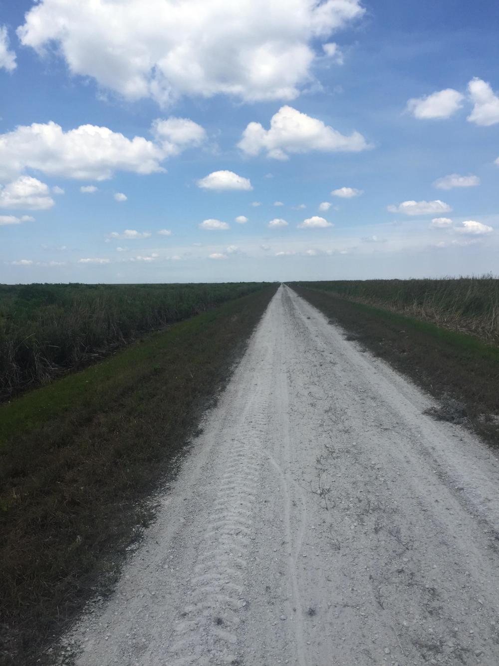
So as we progressed, the road went from a nice hard, top asphalt to a poorly maintained chip surface to a dirt road with a locked gate! Again! But at this point we were experienced with locked gates, carefully read the signs (yes, there were signs this time), and decided they did not apply! We then quickly circumnavigated the locked gate.
As we advanced, I saw two trucks parked next to a flood control structure and knew we had a way across the canal but also thought we might get challenged. Luck was with us as we crossed without incident and pushed further into no-man's land. After another turn or two and another set of warning signs, we ended up on a long stretch of narrow dirt road, relatively hard-packed, and straight as an arrow for six miles.
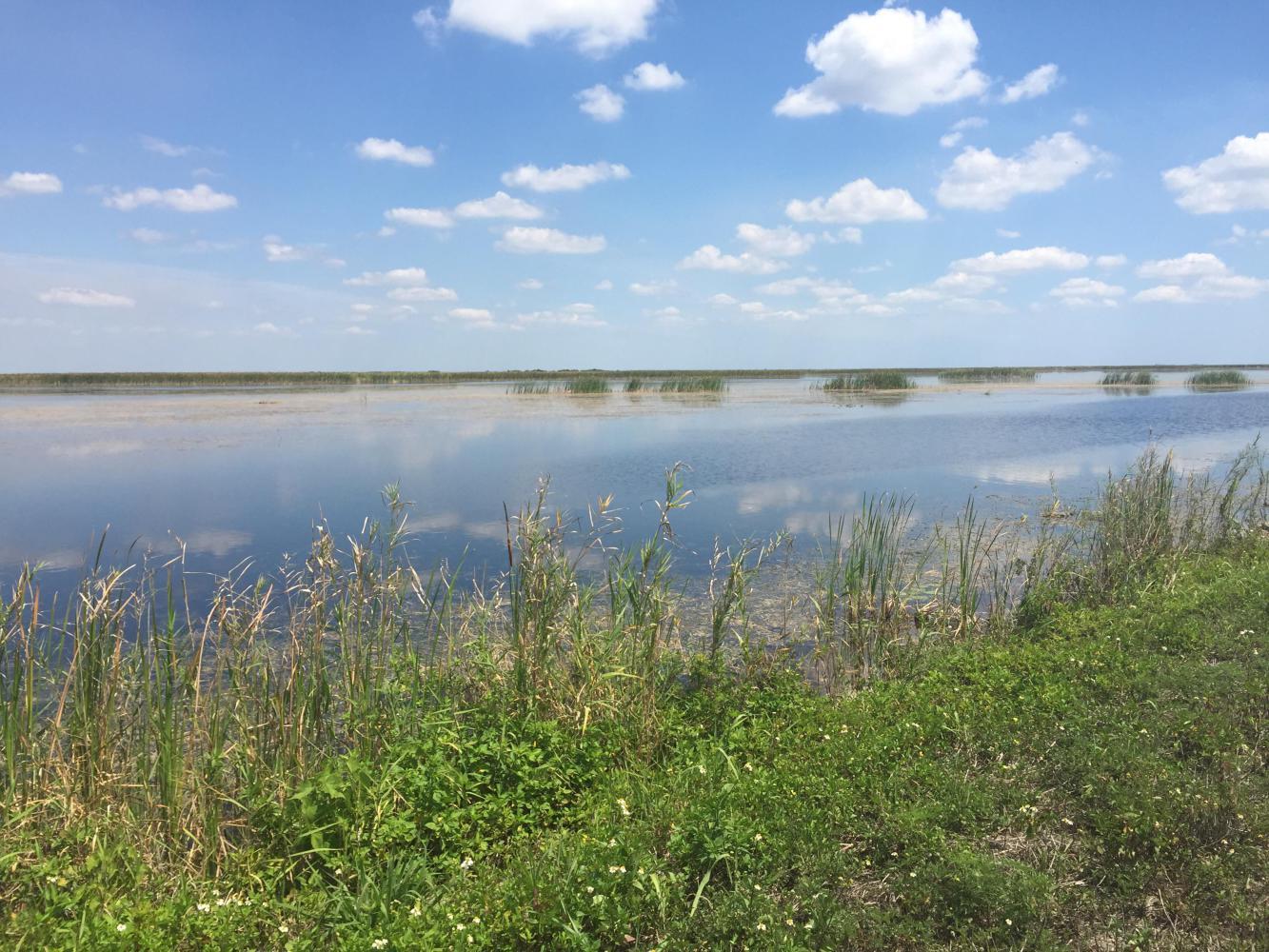
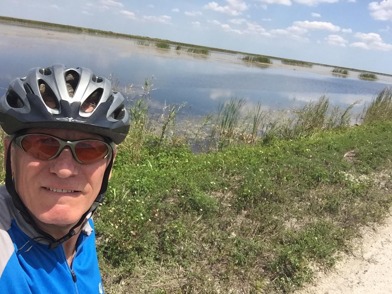
After riding for a bit, my only real concern was what we would find on the other side of this 12-mile trek. It was a bit daunting, and visions of eight-foot -high barbed wire fences danced in my head. What were they trying to protect here? We also contrived stories on why we needed to be here just in case we were challenged. But the views from the levee road were beautiful.
We crossed another flood control structure and made the only turn in 12 miles to the east and almost immediately ran into a worker running a grader. He was as nice a guy as you could meet, told us the next gate was about 6 miles hence, and said mostly their concern was motorized vehicles, not cyclists (despite the signs). Well, we progressed, and all proved true. The road finally dumped us at a park where the reverse signage clearly indicated NO BICYCLES, but we were through at that point.
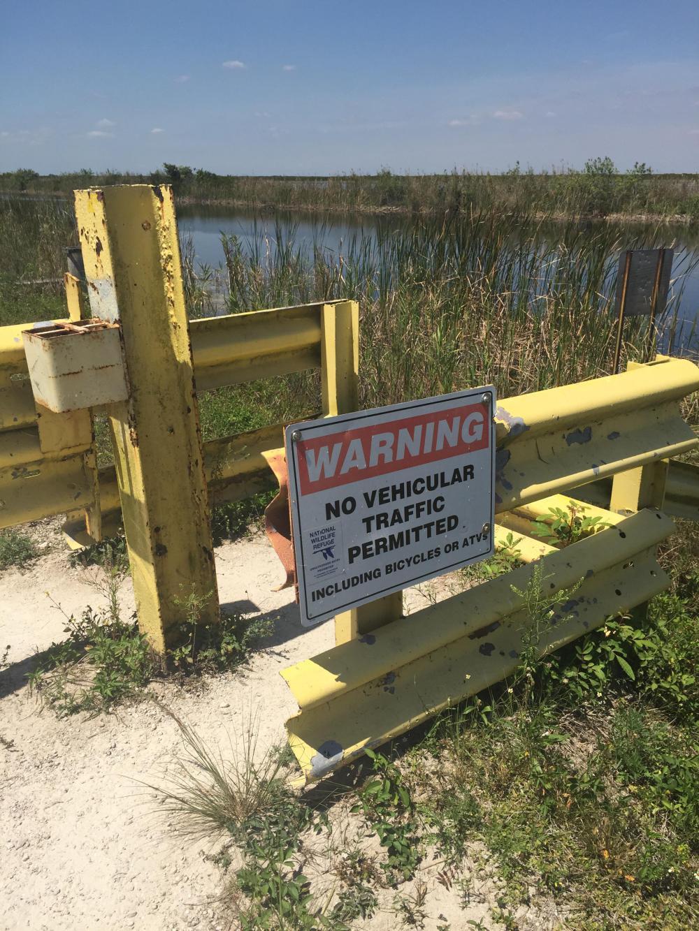
I guess it was a one-way restriction!
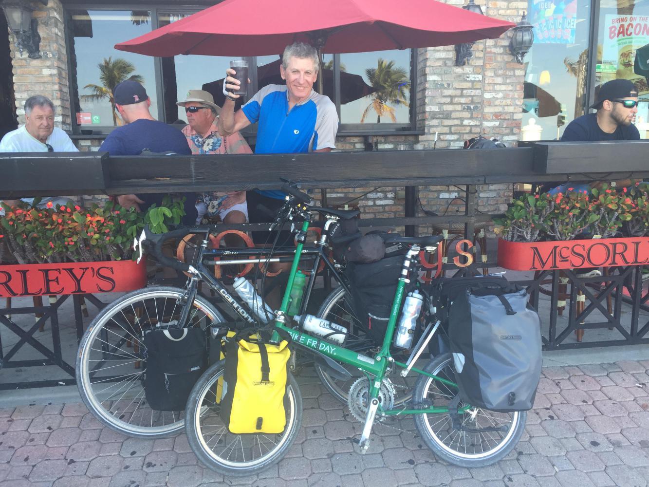
We were now in the outer exurbs of Ft Lauderdale but still had some distance ahead of us, mostly on major roads (four- and six-lane), but all with bicycle facilities. When we arrived, we treated ourselves to a nice round of beer at McSorley's to celebrate the completion of the loop and our first leg of the trip.
Today's ride: 65 miles (105 km)
Total: 396 miles (637 km)
| Rate this entry's writing | Heart | 0 |
| Comment on this entry | Comment | 0 |