June 27, 2022
Day 8: Silverton to Newberg
Today is a relatively easy day, crossing the northern Willamette Valley. On the road at 9 after another breakfast at the Bistro. The temperature was already warm, but today is forecast to be cooler than yesterday.
I saw many more interesting houses on my way out of Silverton. I also missed a turn that added a mile to today's route.


My first stop is 3 miles north of Silverton at Gallon House Covered Bridge. It was built in 1916, making it the oldest operational covered bridge in Oregon. Surprisingly, it's the only operational covered bridge in Marion county. The name reflects Prohibition era smuggling. This bridge was a popular place for moonshiners to drop off gallon jugs of moonshine.

| Heart | 1 | Comment | 0 | Link |
Gallon House covered bridge is another windowless bridge. Not my favorite.


Gallon House covered bridge certainly looks like the oldest covered bridge in Oregon. Several of the 100+ year old beams have bolts and straps to prevent them from splitting.

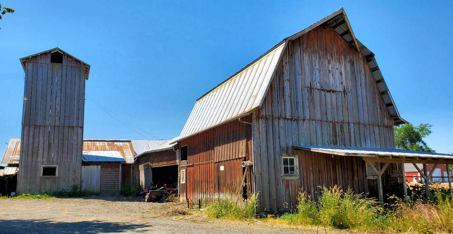
Just past the bridge is the first of many hop fields that I saw in the northern Willamette Valley. I had never seen hops up close before. Later I learned that nearly all of North America's hops are grown in Oregon's Willamette valley and Washington's Yakima valley.

My next stop is the town of Mount Angel, 4 miles north of the covered bridge. I knew about The Glockenspiel hotel but didn't know about the Catholic church. Mount Angel has a huge Oktoberfest (in late September, as usual). The town really promotes its Bavarian heritage.

| Heart | 2 | Comment | 0 | Link |
St. Mary's Catholic church is an amazing sight, but I was looking directly into the sun. A sign brags that the large and ornate church was completed in 1912 for a cost of $85,000. I think they used a lot of volunteer labor.


Mount Angel really does seem German. Many businesses have German names. Most of the downtown buildings are half-timbered in the Bavarian style.

The Glockenspiel really stands out. The hotel closed recently, a victim of the pandemic. The restaurant is still open. Maybe the hotel will reopen soon. I don't know if the glockenspiel below the clock actually operates.

| Heart | 5 | Comment | 2 | Link |
1 year ago
Mount Angel has a nice looking old train station with incredibly large clocks. Clocks are a Bavarian thing, as well. The railroad track doesn't appear to be used now.

| Heart | 2 | Comment | 2 | Link |
1 year ago
Of course the Bavarian buildings in Mount Angel are modern and contrived. The historic structures aren't built in a Bavarian style.
1 year ago
| Heart | 1 | Comment | 0 | Link |
Northwest of Mount Angel I crossed I-5 which runs north-south through the middle of the Willamette valley. All but the first 3 miles of this tour have been east of I-5. The remainder of the tour is west of I-5.
Today I saw a wide variety of crops. Various vegetables, hazelnuts, hops, strawberries, marionberries, seed grass, and giant fields of conifer nursery stock. Imagine 1000 acres of 2-foot tall Arborvitae bushes planted in a dense grid.

Today's route took me through some of the oldest farm towns in the Willamette Valley. I stopped to look at St. Louis Catholic church. There isn't really even a town now. A sign says the present church building was built in 1880, and that the church was founded in 1845, making it the second oldest Catholic parish in Oregon. St. Louis was one of several towns founded by French speaking settlers.

| Heart | 1 | Comment | 0 | Link |

| Heart | 1 | Comment | 0 | Link |
Next I pedaled through the town of Gervais. It's also an 1840's pioneer town but it doesn't look very historic or charming. It has a one-sided downtown strip facing a railroad track that appears to be unused now. Gervais might be the dreariest town I saw during this tour.
Pedaling north I had several distant views of Mt. Hood to the northeast. It's very far away and the sun angle wasn't very good. But I could still see that it has a lot of snow. The 11,249 foot volcano is Oregon's highest peak.
Today's route is flat and I had a southwest tailwind. Lots of easy cruising at 14 mph. It was an easy day. High of 90F was fairly pleasant.

I detoured to see the little village of Butteville on the south bank of the Willamette river. It was an important town when sternwheelers were the main mode of transportation. I stopped at Butteville Landing. There is nothing to see now, but it was once a busy riverboat dock.

| Heart | 1 | Comment | 0 | Link |

From Butteville I pedaled to Champoeg State Park on the Champoeg bike trail. It's densely forested, relatively flat. It has partial views of the Willamette river through the trees. But the trees are quite dense along the riverbank. It's difficult to find an open river view.

| Heart | 1 | Comment | 0 | Link |


I stopped at several places in Champoeg State Park. The first stop was at the headquarters/museum. I learned a lot about the early fur trappers, missionaries, settlers, and Indians. Champoeg was the site of Oregon's first provisional government. The self-rule lasted for 6 years until a territorial governor was appointed.

The self-appointed provisional government was a loose confederation of English speaking settlers, French speaking settlers, and Hudson's Bay Company employees. The provisional government considered itself American and closely copied the U.S. government. Of course the government consisted of only white men. Women and Indians had no voice.

Champoeg was a major settlement in the 1840s and 1850s but there isn't much pioneer history to see now. The town was washed away without a trace by an epic flood in 1861.
From Champoeg State Park I only had to pedal a short distance northwest to Newberg. Traffic was extremely heavy coming into Newberg. Traffic concentrates on the few roads with bridges across the river. I didn't even want to go to Newberg. It's a big town on the edge of the wine country that I am deliberately avoiding. I wanted to stay south/east of the river in St. Paul but it doesn't have lodging.

Tonight's home is Best Western Inn in Newberg. $144 for a mini-suite. Good value. Dinner at a Chinese restaurant nearby. I never did pedal a mile west to see the downtown area.
Today had more historic towns than expected. Plus a covered bridge and two interesting Catholic churches. And my first views of the Willamette river. I feel like I'm getting to know the Willamette valley.
Distance: 45.9 mi. (73.4 km)
Average Speed: 10.0 mph (16 km/h)
Ascent/Descent: +1028/-998 ft. (+313/-304 m)
Today's ride: 46 miles (74 km)
Total: 311 miles (501 km)
| Rate this entry's writing | Heart | 6 |
| Comment on this entry | Comment | 0 |
5 months ago