July 19, 2021
Day 4: Grand Coulee to Omak
Today is forecast to have a high of 102F. Hottest day of the trip. From the beginning I knew that today is the longest and hilliest day of the tour. I got on the road at 6:55 AM which is incredibly early for me.
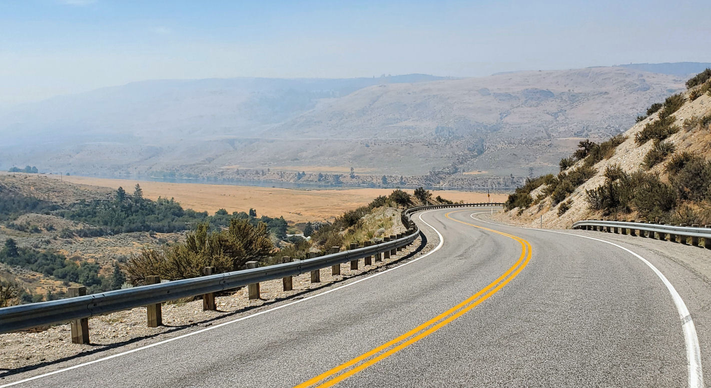
The air was smoky from the start, but the smoke got gradually denser as I descended on WA 155 past Roosevelt Lake and down a big hill to the bottom of Grand Coulee dam.

| Heart | 0 | Comment | 0 | Link |
I didn't stop long at the visitor center. The visitor center is closed at 7:15 AM and I was looking into the smoky sun.

I continued downhill through the attractive little town of Coulee Dam. It has a historic district of 1930's homes built for engineers and managers. Kind of like Boulder City, Nevada (near Hoover dam).
I crossed the bridge on the narrow walkway in order to read the signs. It took me 20 minutes to cross the bridge because the walkway has so many interesting signs about construction of the dam.

| Heart | 0 | Comment | 0 | Link |

| Heart | 0 | Comment | 0 | Link |
I could see and smell the smoke. And I could see a huge dense cloud of smoke to the south. The air was stagnant and the smoke got steadily thicker as I continued north on WA 155. Downstream along the Columbia river, but mostly uphill, climbing high above the river. The smoke gave me a headache and I wondered if it might be like this all day.

Almost all of today's route is in the Colville Indian Reservation.

| Heart | 0 | Comment | 0 | Link |


| Heart | 0 | Comment | 0 | Link |
Today's summit is on the edge of Nespelem, the capital of the Colville tribes. I passed the huge government center building and a large pow wow grounds, but didn't see any houses. Nespelem is where the pine trees begin. It's a beautiful place.

| Heart | 0 | Comment | 0 | Link |
There was obviously a big fire here few days ago. The hillside across from the government center was freshly burned. This particular fire is out now but the pow wow grounds is hosting a fire camp.

| Heart | 0 | Comment | 0 | Link |
I pedaled past two large air-conditioned tents. This is the first time I've seen air-conditioned tents at a fire camp. The fire camp also had the usual dozens of small tents for the firefighters.

| Heart | 0 | Comment | 0 | Link |
In Nespelem I turned left on Columbia River road which I will follow for 40+ miles. It's a tribal road. The entire road is in the Colville reservation. It begins with a 1000 foot descent to the Columbia river along a creek in a rare forested canyon. I could see and hear water in the canyon. An unexpected surprise in the desert.

| Heart | 0 | Comment | 0 | Link |
I stopped at a turnout that has excellent views of the most vertical part of the canyon, where the creek is a staircase of waterfalls and pools. Amazingly, there is no fence or No Trespassing sign. Even with no sign I know it's in the reservation and I'm not allowed to go there. I hardly saw any fences during this tour.

| Heart | 1 | Comment | 0 | Link |
Besides the unexpected waterfalls, the descent cheered me up because I could see that it's less smoky ahead.

| Heart | 0 | Comment | 0 | Link |
| Heart | 0 | Comment | 0 | Link |
I enjoyed pedaling this remote segment of the Columbia river. The road has basically no traffic. There are almost no homes. Only a handful of farms.

| Heart | 0 | Comment | 0 | Link |
I passed a large aquaculture operation in the Columbia river. Fish farming is not allowed in rivers, but the Colville tribe has an 1872 treaty guaranteeing them fish. Dams took away the fish guaranteed by the treaty, so the tribe went to court and won the right to grow their own fish instead.

| Heart | 0 | Comment | 0 | Link |
There are so many dams on the Columbia river that very little of the river is free-flowing. For most of today the river is actually the upper reaches of Rufus Woods lake, the reservoir behind Chief Joseph dam.

| Heart | 0 | Comment | 0 | Link |
Columbia River road turns away from the river just as the reservoir starts to get big. The road climbs a big barren hill to Omak Lake.

| Heart | 0 | Comment | 0 | Link |
Columbia River road has many views of Omak Lake but the lake is always hundreds of feet lower than the road, and there are no roads leading down to the lake. The lake is entirely in the Colville reservation and it's completely unpopulated and undeveloped.

I was expecting 10 or 15 miles to be unpaved today. But the entire route is now paved. The newly paved section is obvious, and much appreciated. I had the road pretty much to myself. A car passed by about every 5 minutes.

Columbia River road is a great bike touring route. It has a trifecta of waterfalls, a remote river canyon, and Omak lake. Good pavement and no traffic.

It was incredibly hot as I pedaled above Omak Lake. 100F/38C, with no shade and not much wind.

I was surprised to see that Omak lake is a natural lake. The dam seems to be formed by landslides or a glacial moraine.

| Heart | 0 | Comment | 0 | Link |
I was exhausted and dehydrated for the last few miles to Omak. And they were the hottest miles. 102F when I arrived in Omak at 4:15 PM. The last several miles appear to have burned a year or two ago.

I got my cheap reserved room at Rodeway Inn which is the only motel in the downtown area. Most of the motel residents are near-homeless. I cooled down and rested, drank water, ate an ice cream cone from the shop next to the motel. Later I had dinner at a nearby Mexican restaurant.

| Heart | 0 | Comment | 0 | Link |
Omak is a working-class town of 4774 people. Not trendy or upscale. It has strong Indian influences because it's just outside the Colville reservation. Omak is somewhat familiar to me because I passed through during bike tours in 1989 and 2007.

| Heart | 0 | Comment | 0 | Link |

I hoped I wouldn't need to bike in 102F heat, but I did it! The early start helped. Today's route is awesome, no matter the heat and smoke.
Distance: 59.8 miles (95.7 km)
Average Speed: 8.8 mph (14 km/h)
Ascent/Descent: +2925/-3478 feet (+892/-1060 m)
Today's ride: 60 miles (97 km)
Total: 146 miles (235 km)
| Rate this entry's writing | Heart | 2 |
| Comment on this entry | Comment | 0 |