June 9, 2013
More serious mapping at home, more pretend training on our Island
When the length of a trip gets up in the 2,000, 3,000, 4,000, 5000 km range, mapping starts to become an issue. If you try to carry maps for those kinds of distances, you are dealing with a lot of bulk and weight. If you think you will pick up maps as you go along, you are gambling that the right ones will be found at the right time. And if you are camping, it's nice ( really nice ) to know that that the campground you just passed is the last one for 100 km. So we do a lot of obsessing about maps.
Maybe that obsession applies more to Europe. In Canada, you can pretty much dip your wheel in one ocean, hop onto the sort of only road (conveniently named #1), and pedal for 7,000 km or until you bump into another ocean - whichever comes first. Then you declare your trip a success and go home.
Well, it's not quite that simple, but one gas station map in each province could pretty well do it. In Europe, though, there are orders of magnitude more towns and more roads. There are also more bike routes and infinitely better signage, but still, without a lot of mapping you are ... of course, lost.
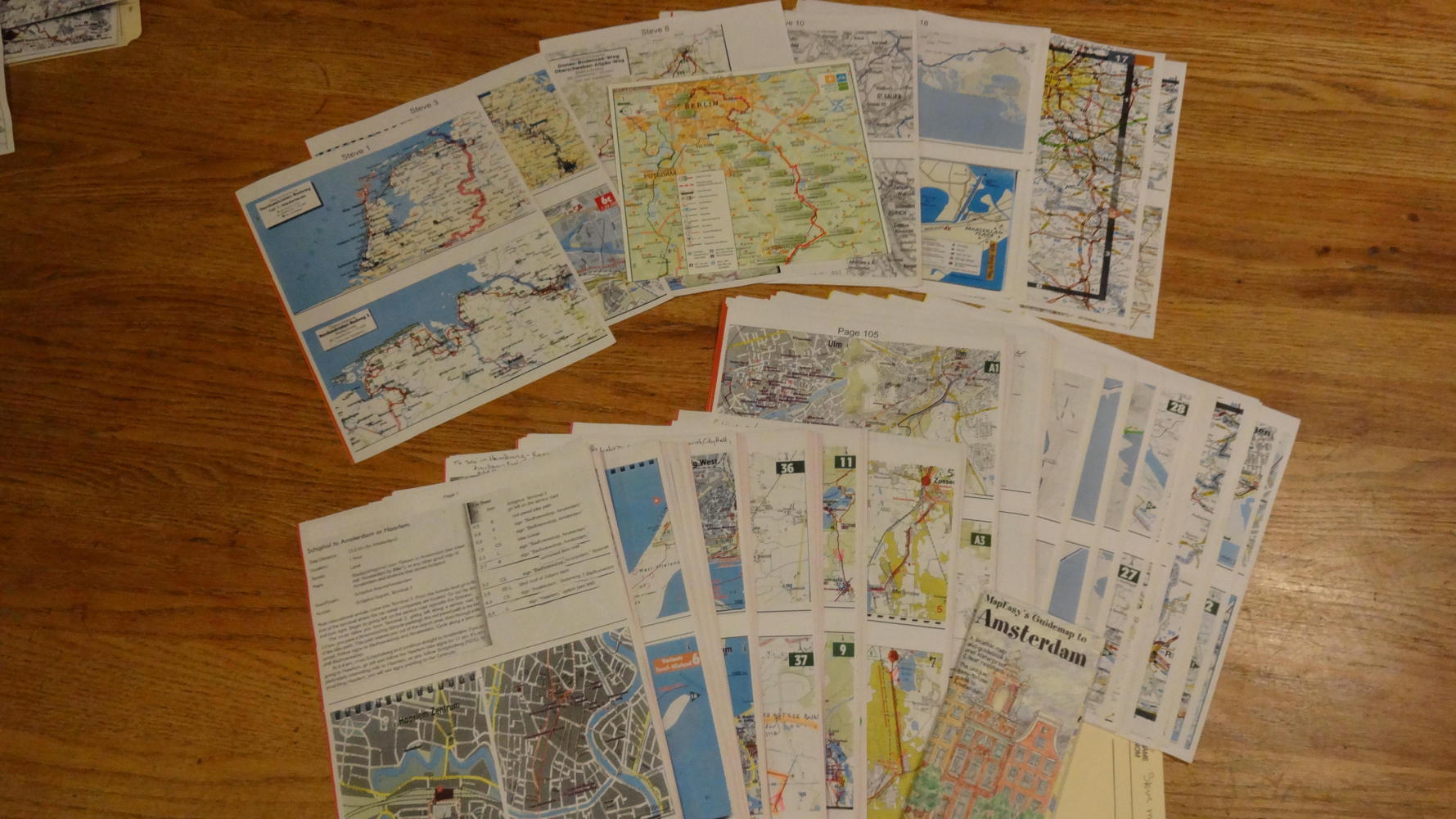
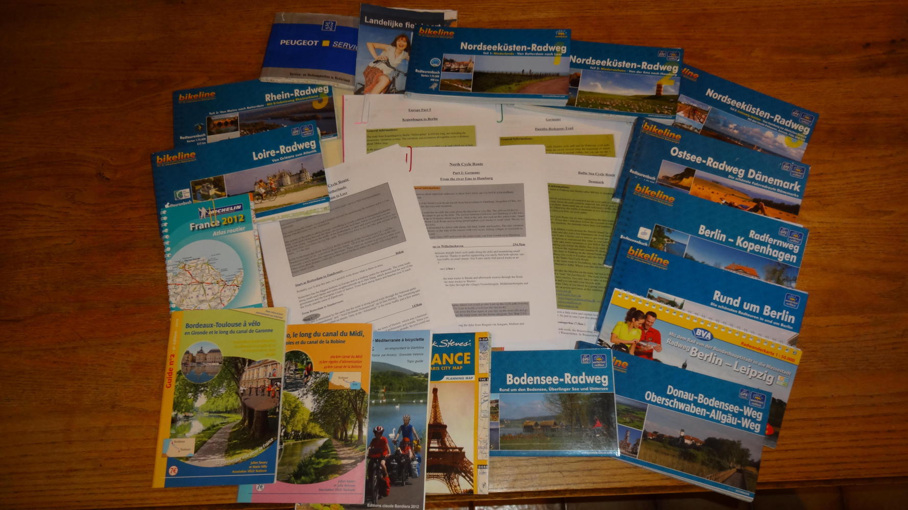
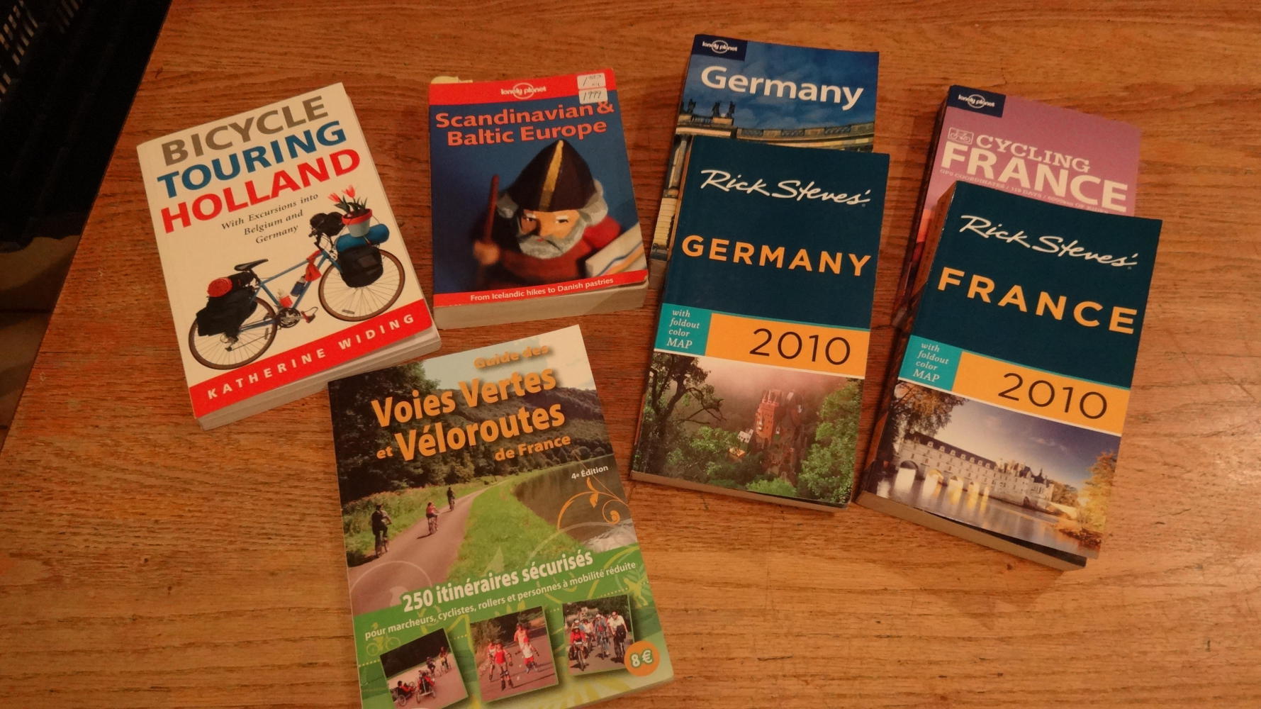
So what to do about the bulk and weight of maps? For example, for this trip we have cycling map books and guides covering about 60% of the way.Those weigh about 9 1/2 pounds! Then there are the general country tourist guides. We have ones for Scandinavia, Germany, France, etc. Those weigh in at about another 9 pounds. All told, those partial maps and guides amount to 18.21 pounds!
A lot of the info in the map books is about the culture and history of the places. We might look at that a bit. And a lot is instructions like turns left right after the bridge. We can't read that kind of stuff while pedalling, so maybe it would help if we get lost. Maybe not. Plus, most of the stuff is in German and French - not great for speed reading, especially since we don't even know any German!
Our approach, mentioned a few times already, is to scan what we think we need and color print only that, together with Google Maps screen captures. Then we get our German friend Sandra to speed read the German, and tell us if there is anything of note in it. (Actually, she has written us many pages of valuable notes (in English!).
The reason we are blithering about all this again is that it's all we have been doing since the last time you read anything from us!
Oh yes, we have been stuffing guide books, GPX tracks, offline maps, and suchlike into the tablet too. But, we have only limited expectations from the electronics. It's very hard to read in the sunlight, for example. And the offline maps we have found for Android have had a variety of limitations.
So anyway, we compressed the 18.21 pounds of stuff into 1.17 pounds of 8.5x11 sheets for Dodie to use, as she tries to guide us around 5,000 km of Europe. Oh yes, not content to follow along blindly behind, I have demanded (and received!) what amounts to 1/4 pound of overview sheets. If that seems quite frugal, it's because I know I will snatch up anything that looks like a map in any Tourist Information along the way. When we cycle out of a region, I will then demand that we (read - Dodie) bring the maps and stuff home as souvenirs. After various amounts of negotiating, we could predict that Dodie's rack top bag will come home with - let's see - 18.21 minus 1.17 = 17 pounds of paper junk. That is, just what we saved with weeks of late night scanning and printing.
Pretend Training
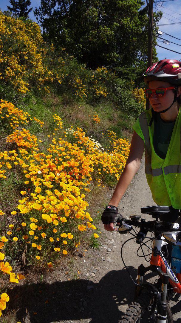
With all the late night office work, we have not exactly been ready to jump up in the morning and head off on training runs. Still, we have fallen for the forlorn looks of the bikes just outside the door, and taken off on some part day runs. For example, we pedalled down to Victoria (50 KM) to Karyn and Erhard's (sister, and brother-in-law) where we desperately tried to cancel any benefits of the ride with a massive family meal.
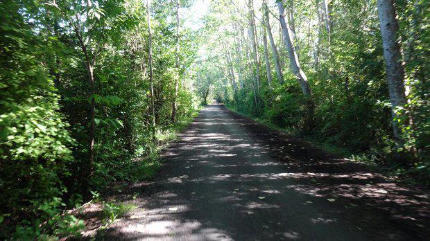
Our route to Victoria includes a ferry ride across an arm of the ocean, a great bikeway down the Saanich Peninsula, and a brief stint on the Galloping Goose bikeway in the city. Our general impression is that if we didn't live here, we would think these are all super, because they are! The same goes for the ride on the Trans Canada trail, from our place to the town of Lake Cowichan. Sandra and we did part of this last week. It was Sandra's first bike ride like that in Canada, and though she is from Germany, I'm sure she would give it a good rating. So hey, maybe we should go get just one map in the gas station and stick to Canada. Yikes, now we're really talking crazy!

| Heart | 0 | Comment | 0 | Link |
| Rate this entry's writing | Heart | 0 |
| Comment on this entry | Comment | 0 |