July 29, 2009
Day 20: To Bishop
Once again it was a pleasantly cool 58F in the morning, with few mosquitoes. I packed up right away without making breakfast because I was out of powdered milk. I got on the road at 8:15.
The 14 mile downhill took 30 minutes because of the sharp turns. 64F at the top, 77F at the bottom. There is no cafe at Independence, and the Subway sandwich shop wasn't open yet (even though the posted sign said it should be open). So I bought milk at the convenience store and ate my own cereal on a table in front of the Subway. I got much-needed cash from the only ATM in town. I had hoped to find a US Bank ATM (no fee for me), but didn't see a US Bank in any of the towns in the eastern Sierra.

| Heart | 1 | Comment | 0 | Link |
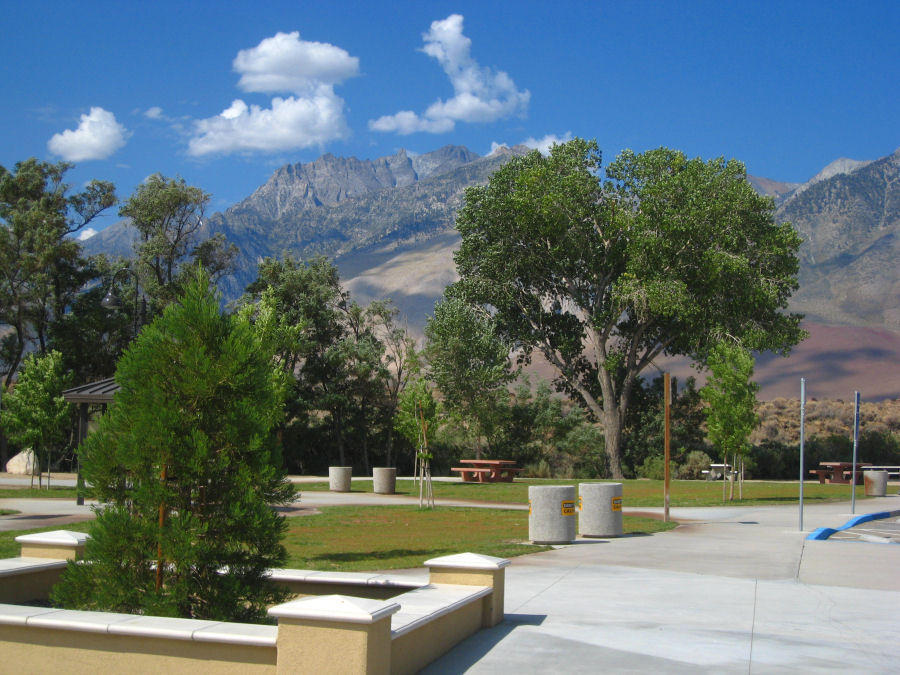
Highway 395 was under construction for 20 miles, expanding the 2-lane road to a 4-lane divided highway. When completed, 395 will be a divided highway from the Mojave desert north to Lee Vining. There's very little population, industry, or agriculture along the route. The main purpose seems to be to accommodate tourist traffic from southern California to the east entrance of Yosemite National Park, and winter traffic to the ski resort at Mammoth.

| Heart | 1 | Comment | 0 | Link |
US 395 has high speed traffic, but it's still okay for cycling. The road has a wide paved shoulder with a rumble strip. The only thing I found to be annoying is the noise of the high speed traffic. Roadside services are frequent, especially considering how unpopulated the area is.
| Heart | 1 | Comment | 0 | Link |
I was surprised to have a brisk headwind from Independence to Big Pine. I ate lunch at a not-so-great cafe in Big Pine, then stopped at a park and made a long phone call to my wife. By the time I got off the phone the large nearby flag was hanging limp. The wind was now light, and it had shifted to a gentle tailwind. That was a well-timed stop! My cruising speed increased from 7 mph to 13 mph.


| Heart | 0 | Comment | 0 | Link |
Many creeks flow out of the Sierra Nevada mountains into the Owens valley. But there is very little irrigated agriculture. Long ago the city of Los Angeles purchased most of the land in order to have water rights. Since 1916, most of the creeks have been diverted into the Los Angeles aquaduct. It's surreal to find that most of the land is owned by a city more than 300 miles distant. The state of California has one hell of a large plumbing system! A similarly large water diversion scheme on the west side of the Sierra Nevada fills the California aquaduct which irrigates the farms of California's central valley. And another huge water diversion supplies San Francisco with water from Yosemite's Hetch Hetchy reservoir. These water diversion projects transport water hundreds of miles using gravity flow. No pumps required.

| Heart | 0 | Comment | 0 | Link |

| Heart | 0 | Comment | 0 | Link |

I detoured a mile off highway 395 to have a soak in Keogh hot ditch. The hot water is the outflow from Keogh hot springs resort. The water flow is huge, so the pools are large and don't cool very much from one pool to the next. The uppermost pool was 105F. 200 yards downstream the lowest pool had only cooled to 103F. I soaked there. It was nice, and I appreciated the thin layer of clouds that drifted in to keep the air from getting too hot. It's private property but there was no fence or No Trespassing sign.

| Heart | 0 | Comment | 0 | Link |
A few miles south of Bishop the gentle tailwind suddenly changed back into a strong headwind. I only went 6-7 mph the last few miles to Bishop. But at least the wind kept me cool. By then the temperature had risen to 95F. That's cooler than expected, and I was tempted to camp in Bishop. But I decided to get a motel because I need a bathtub to find/repair a leak in my Big Agnes mattress pad. This is likely to be the last place I need a motel to escape the heat. Tomorrow I climb the Sherwin Grade into a cooler climate zone.
Distance: 62.4 mi (99.8 km)
Climbing: 1150 ft (348 m)
Average speed: 10.5 mph (16.8 km/h)
Max speed: 43.5 mph (70 km/h)
Today's ride: 62 miles (100 km)
Total: 939 miles (1,511 km)
| Rate this entry's writing | Heart | 1 |
| Comment on this entry | Comment | 0 |