November 20, 2022
In Saint-Maxime: Sommet du Deffend / Col du Valdingarde
Our rather peculiar host and hotel redeem themselves by serving up a decent breakfast this morning, presented stylishly. It’s a small place and three tables are set when we enter the breakfast area. We’re invited to choose our color, between the sunny alternatives of orange, yellow and red. Each small, circular table has two chairs and is topped with matching tablecloth and crockery. We choose orange, more for its physical location near the window than its hue. Especially welcome was the coffee, served up in the large, bowl-shaped mugs I associate with Provence.
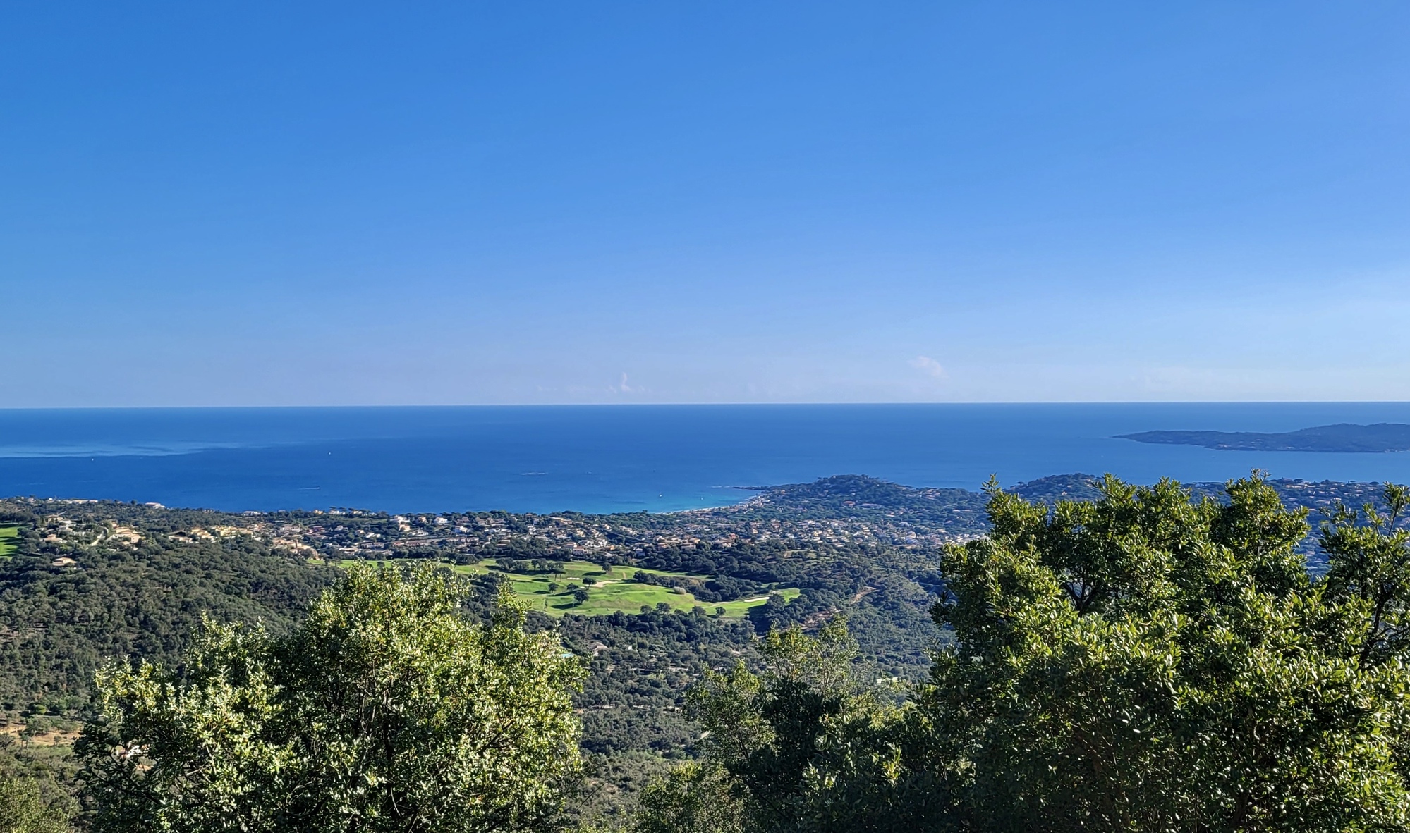
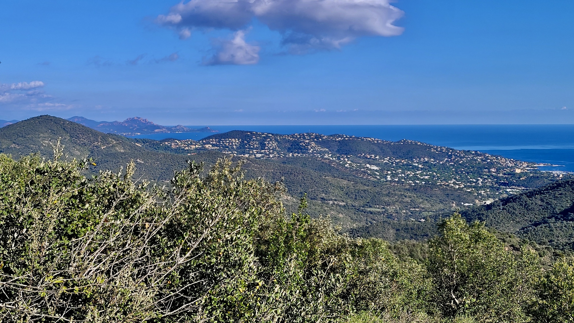
In our one other time staying in Saint-Maxime we spent our layover day on a visit to Saint-Tropez, the famous glitzy resort across the bay. We caught the morning ferry and enjoyed a walking tour of the place, charmed by its beauty and delighted to find it so unexpectedly quiet in this late season. I’m tempted to go there again (and in fact we’d initially planned to stay there until finding the lodging was too expensive for our tastes). Instead though, we’re going up - into the hills that rise immediately behind Saint-Maxime. I’ve mapped a challenging out and back to Roquebrun-Sur-Argens, and Rachael’s found a hike along the touristic route to Du Deffend, a high point behind town.
Rachael leaves first. Before she does there’s some concern when we can’t find my Garmin, which doesn’t make any sense because Rachael just loaded both our routes. Thinking back though, we remember that we did this back in Hyères, two days ago. I likely left mine on the bike last night, out in the parking lot just an east thumbprint away.
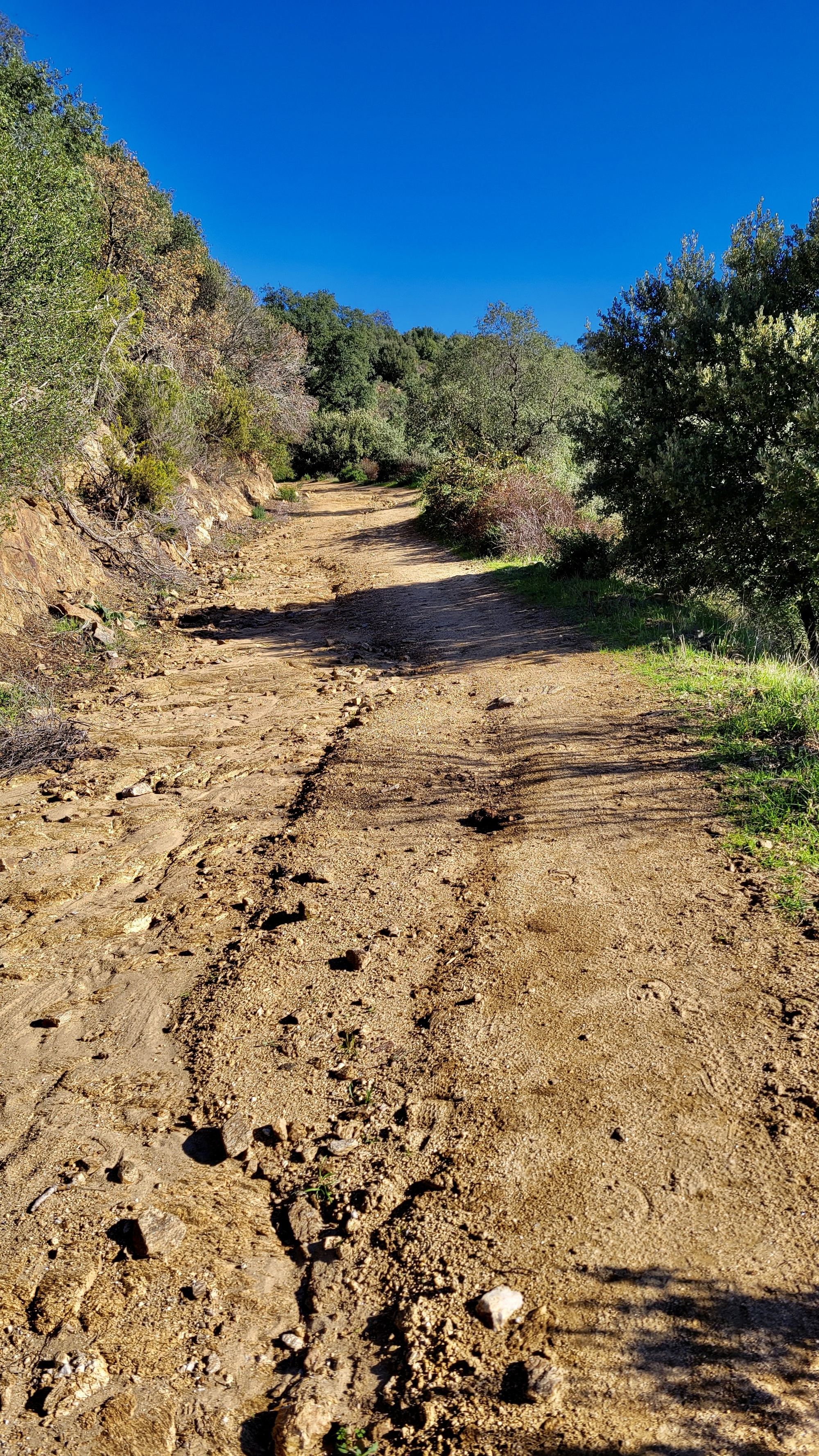
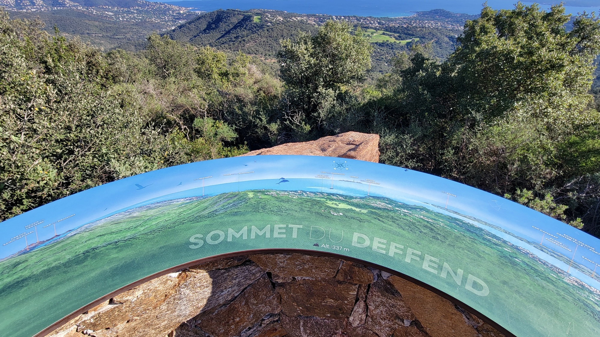
Sentier du Deffend
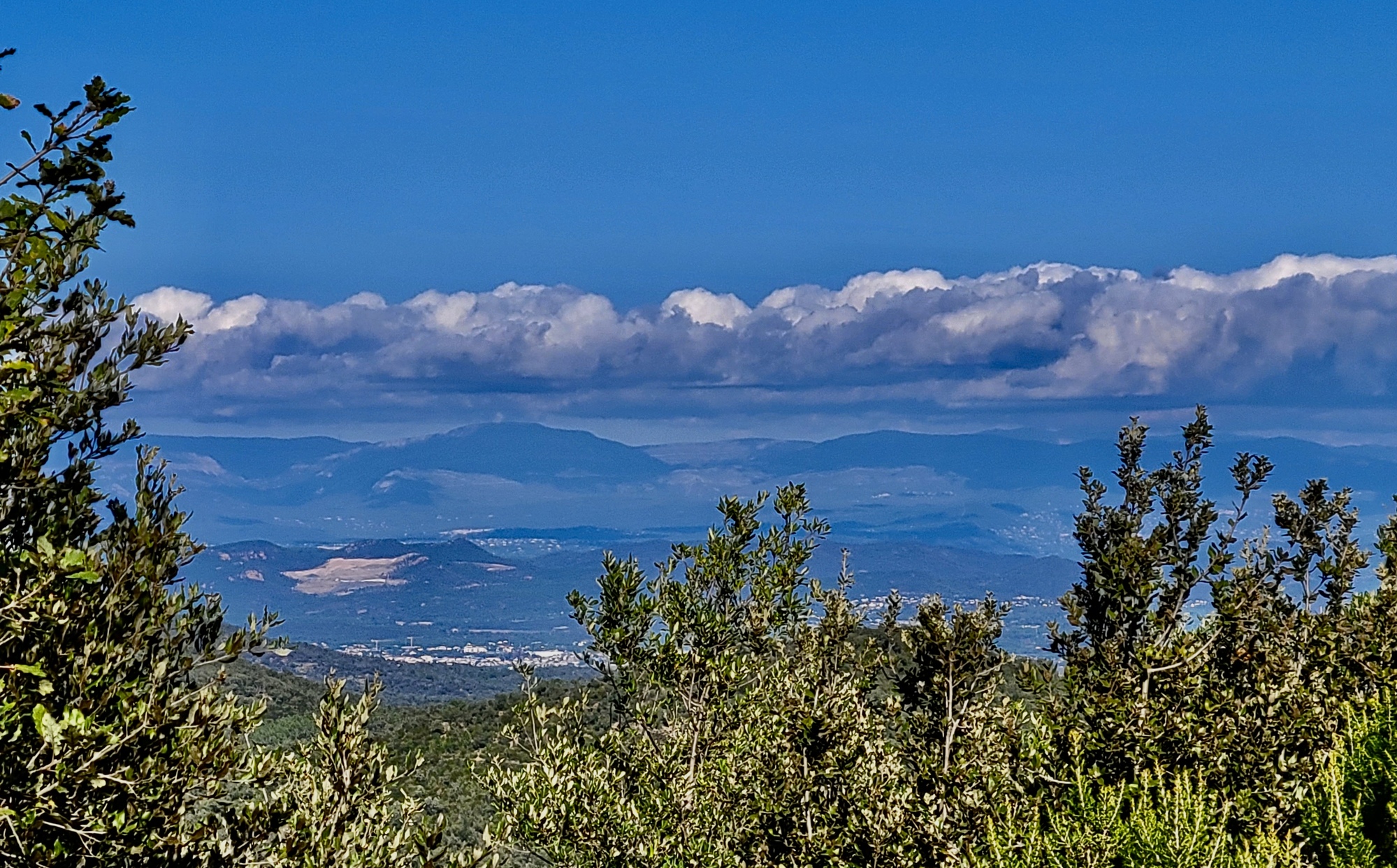
Rachael enjoys an excellent hike, if not precisely the one she had mapped out. Over dinner later we’ll scroll through the photo gallery she returned with and she’ll describe the walk. Once she left the outskirts of town she saw almost no one all day, other than for a group of mountain bikers roaring down the trail and alarming her.

| Heart | 2 | Comment | 0 | Link |

| Heart | 3 | Comment | 0 | Link |

| Heart | 3 | Comment | 0 | Link |
Col du Valdingarde
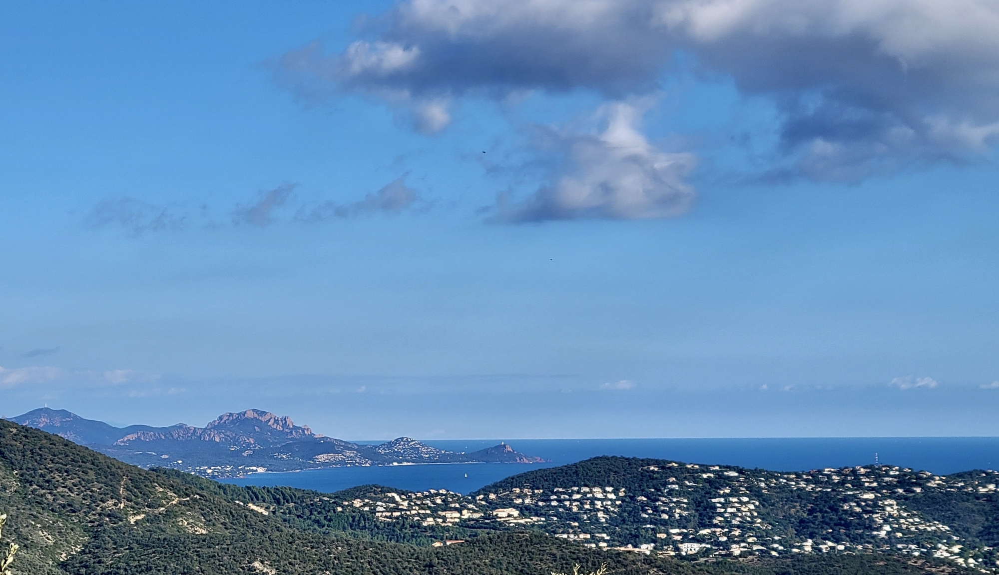
I wait around for another half hour before leaving myself. When I do, I’m frustrated to find out that I apparently have a defective thumb, its print sufficient to get me into the hotel but not the garage. When our host helps me out I’m frustrated again when I fortunately find my Garmin on the bike but unfortunately still turned on and draining the battery. I take it up to the room and wait another half hour while I charge it enough to hopefully get me through the day. By the time I leave it’s late enough that I drop plans to bike as far as Roquebruns-sur-Argens. I’ll just get as far as time allows and then turn back - which likely means I’ll reach the intervening summit but not drop down to the Argens and turn around just to climb back up again.
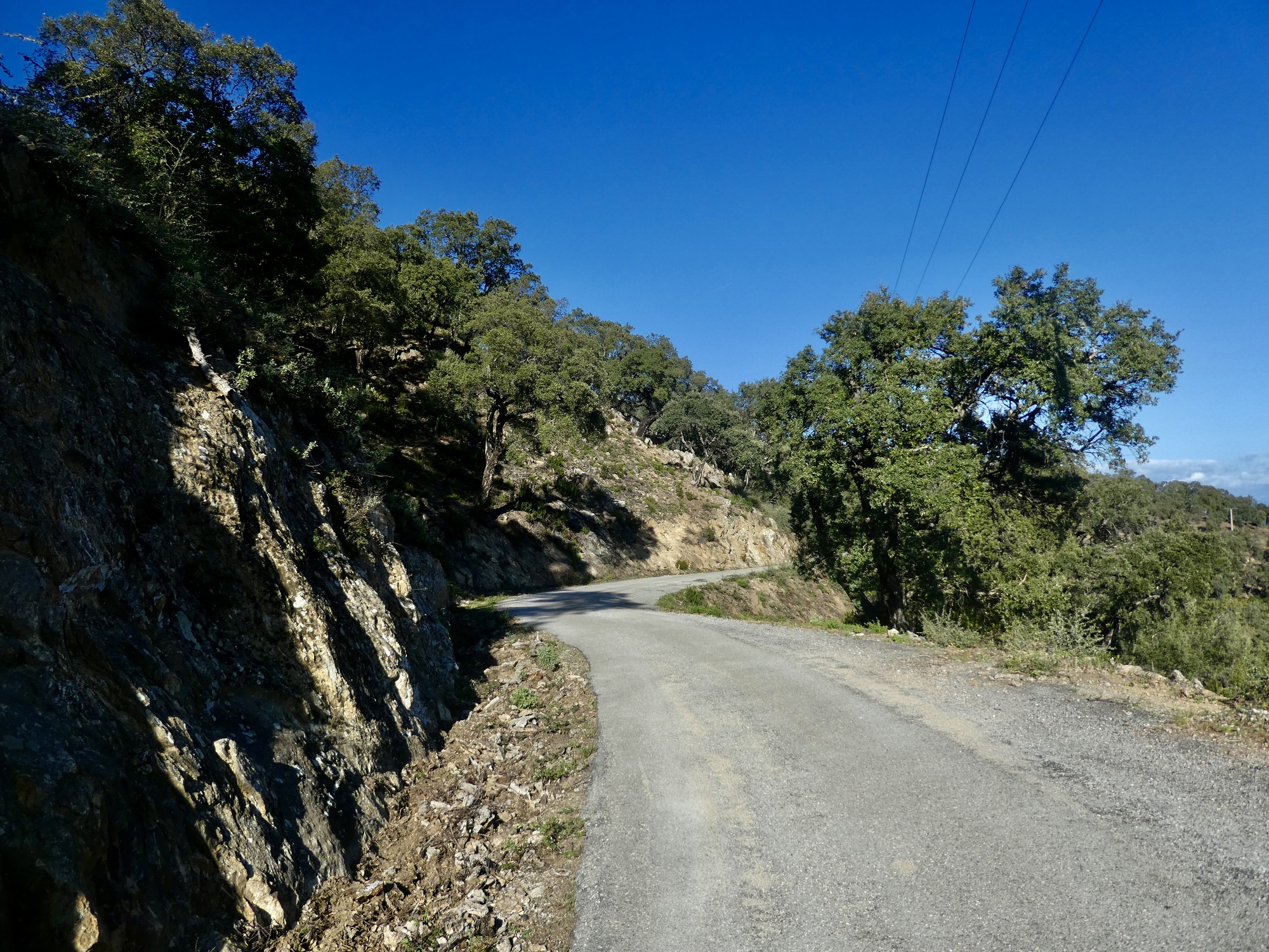
The ride begins less pleasantly than I anticipated, with about a five mile climb up busy D25. I knew the climb was in the picture, but had forgotten that so much of it was along this busy highway. At least there’s a good shoulder, and I’m climbing a relaxed 5-6% grade most of the way.

| Heart | 1 | Comment | 0 | Link |

| Heart | 1 | Comment | 0 | Link |
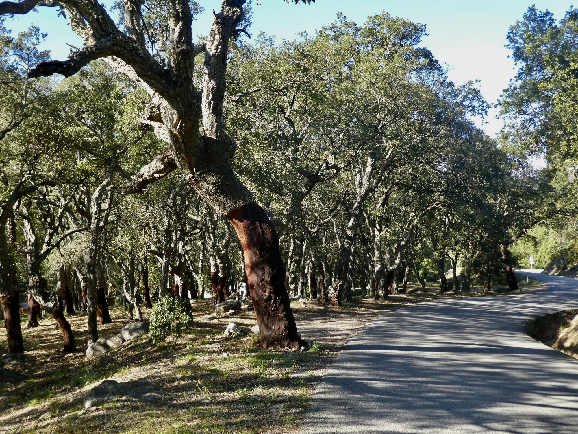
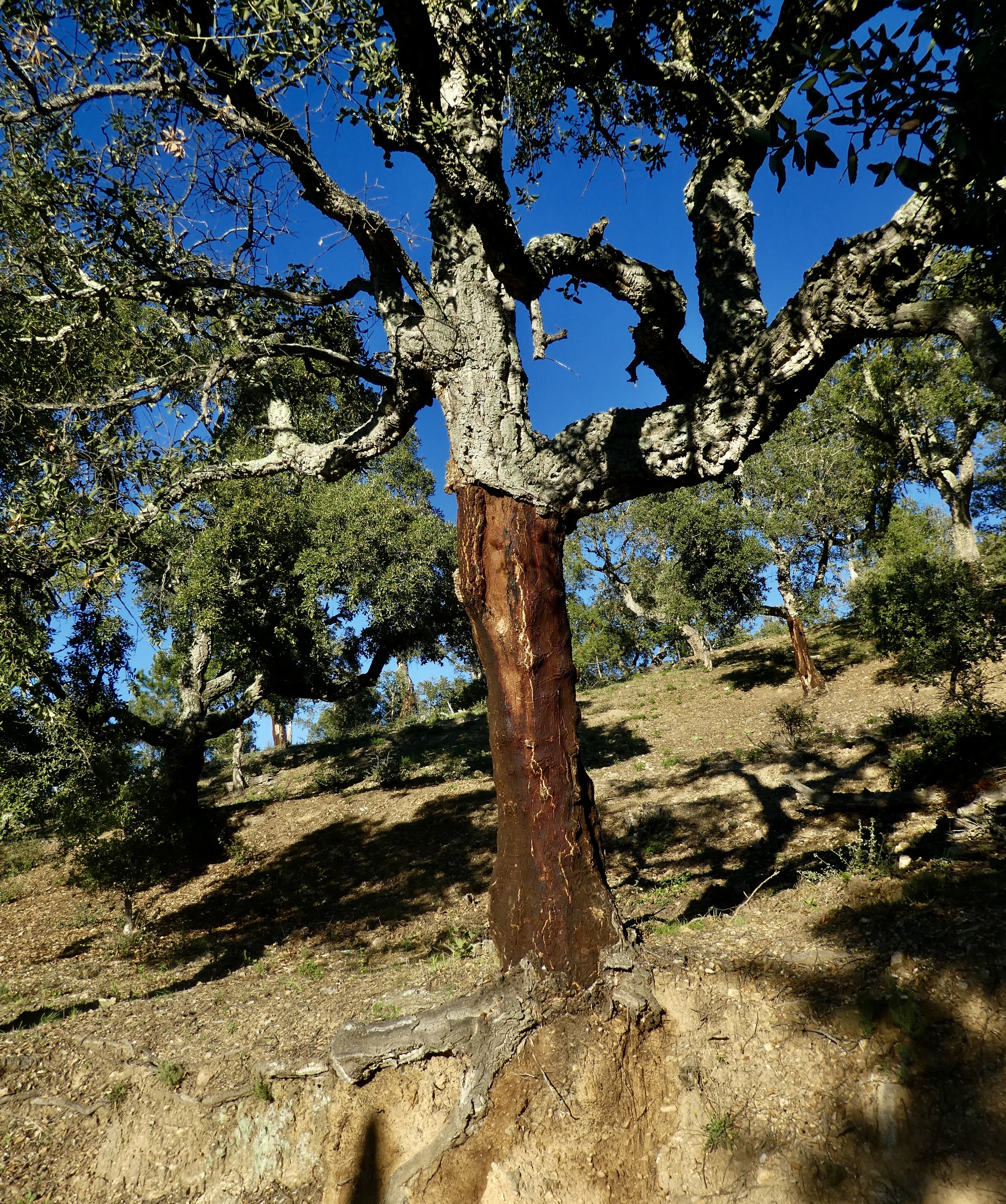
Leaving the highway, the nature of the ride changes immediately. Suddenly I’m on an empty single lane mountain road, biking past cork oaks; and soon I’ll be climbing more steeply, with the stiffest stretch about a mile well into the 10-15% range.

| Heart | 4 | Comment | 0 | Link |

| Heart | 3 | Comment | 0 | Link |

| Heart | 5 | Comment | 0 | Link |

| Heart | 4 | Comment | 1 | Link |
1 year ago

| Heart | 1 | Comment | 0 | Link |

| Heart | 4 | Comment | 2 | Link |
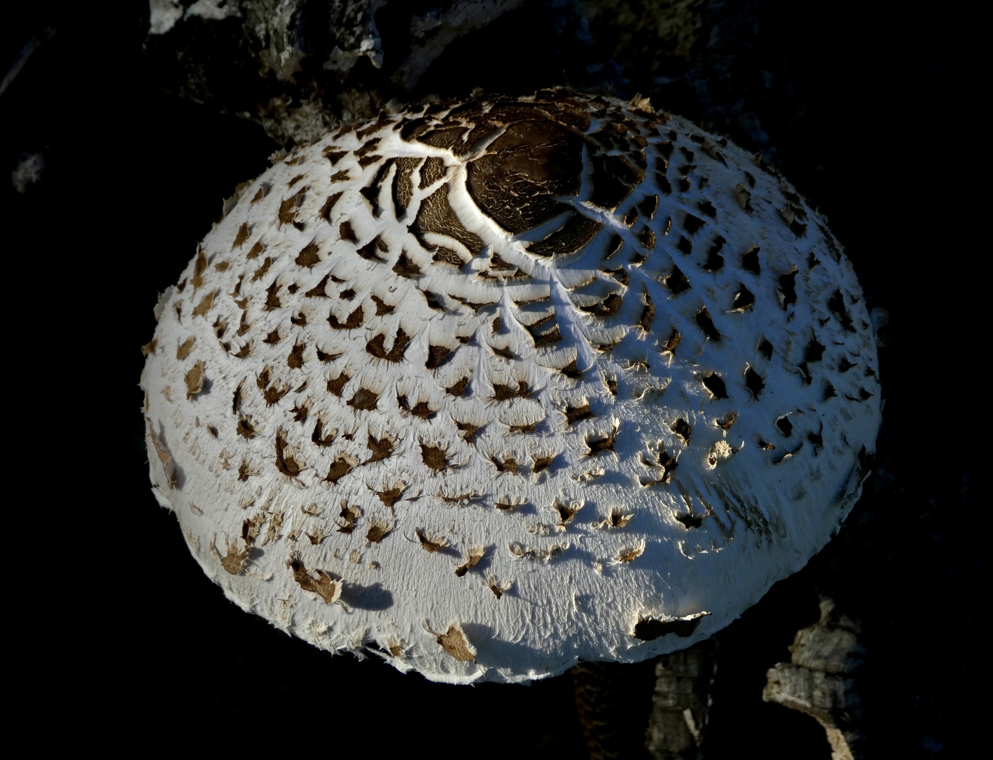
https://en.wikipedia.org/wiki/Macrolepiota_procera
1 year ago
1 year ago
| Heart | 4 | Comment | 1 | Link |

| Heart | 2 | Comment | 2 | Link |
1 year ago

| Heart | 4 | Comment | 0 | Link |
It’s after two when I reach the high point at Col du Valdingarde - clearly too late in the day to bike down into the Argens valley and back out again. There’s enough time though for me to scramble up the rough trail to the summit of a nearby knoll, which I do. I just lean the bike against a concrete structure at the pass, confident that it will still be there when I return because I haven’t seen anyone for nearly an hour.
I’ve been gone nearly a half hour by the time I return. On the way back I hear voices in the woods below, a family on an outing from the sounds of it. I scramble a little faster and am relieved if unsurprised to find my bike still there and intact.

| Heart | 1 | Comment | 0 | Link |

| Heart | 3 | Comment | 1 | Link |
1 year ago
The descent is interesting. Not as fast as I imagined at first because the road is rough and winding and the sun has gone below the hill so I have to slow down for visibility. And then I’m slowed down when I get back to the highway and see something I hadn’t noticed before - the road I left it on is one-way, and there’s no break at the intersection across the concrete barrier. I could backtrack a half-mile by climbing back up to the overpass, but I’m getting concerned about the time.
I watch the traffic for awhile and finally conclude that I can make it across if I time it well. When a large gap comes along I cross to the midline, stand on the top narrow 18” shoulder there, awkwardly and hurriedly lift the bike over the barrier to the narrow shoulder on the other side, and then stand there holding it until a suitable break appears in that lane. Fortunately one comes along in time and I scramble across and over to the shoulder to regroup and check to make sure I didn’t damage the bike in lifting it over the barrier.
So, maybe not the smartest move, but it worked out this time. And I needed the time it saved, because it’s getting chilly and the light is starting to fade by the time I wheel back into town.
| Heart | 0 | Comment | 2 | Link |
1 year ago
Ride stats today: 26 miles, 2,200’; for the tour: 1,950 miles, 106,900’
Today's ride: 26 miles (42 km)
Total: 1,950 miles (3,138 km)
| Rate this entry's writing | Heart | 9 |
| Comment on this entry | Comment | 0 |
1 year ago