June 20, 2025
Day 9: Wisdom to Gibbonsville, Chief Joseph pass
Today is relatively short but I got up early at 7:25, hoping to beat the predicted early afternoon rain. I had another breakfast burrito and made a short stop at the grocery store on the way out of Wisdom. On the road at 8:45 with surprisingly few mosquitoes.
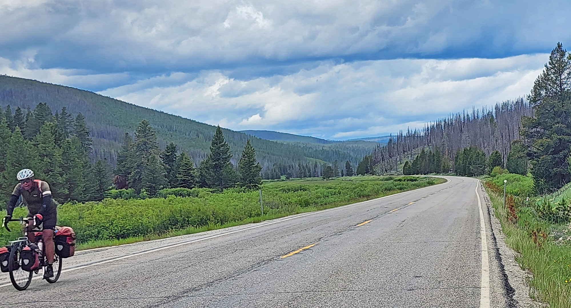
Today's ride starts by crossing the wide Big Hole valley, with good views of the Beaverhead mountains to my left, and occasional views of the Big Hole river.


I have plenty of time today but I decided not to stop at Big Hole National Battlefield in order to minimize time in rain later. There's not a lot to see at the battlefield. Mainly just signs that explain the history. The US Army attacked the Nez Perce camp at dawn, shooting blindly into teepees known to be crowded with women and children. Nez Perce warriors were on sentinel duty and successfully repelled the attack in a bloody battle. Throughout the Nez Perce campaign the U.S. Army behaved in a barbaric manner while the Nez Perce gained fame for their civilized behavior. They didn't attack noncombatants, torture prisoners, or mutilate casualties.

The history of the Nez Perce Indians is extremely sad. The tribe was perhaps the wealthiest and most civilized Indian tribe in North America. In 1855 a treaty with the US government granted the tribe a large reservation in Oregon and Idaho. Then in 1867 the government took away 90% of their reservation. A few years later, white people trespassing on the reservation discovered gold. In 1877 the government ordered the Nez Perce to leave their reservation with short notice. The tribe did its best to comply with the order, but were pursued by the US Army for 1100 miles over 4 months in 1877. There were many fights on the way. The outnumbered Nez Perce prevailed until they finally surrendered only 40 miles from freedom in Canada.

The Nez Perce tribe was led at that time by the charismatic Chief Joseph who has become a revered historical figure. MANY places in the northwest US are named after Chief Joseph. Of course Joseph is the name given by white people. The chief's real name was Heinmot Tooyalakek.
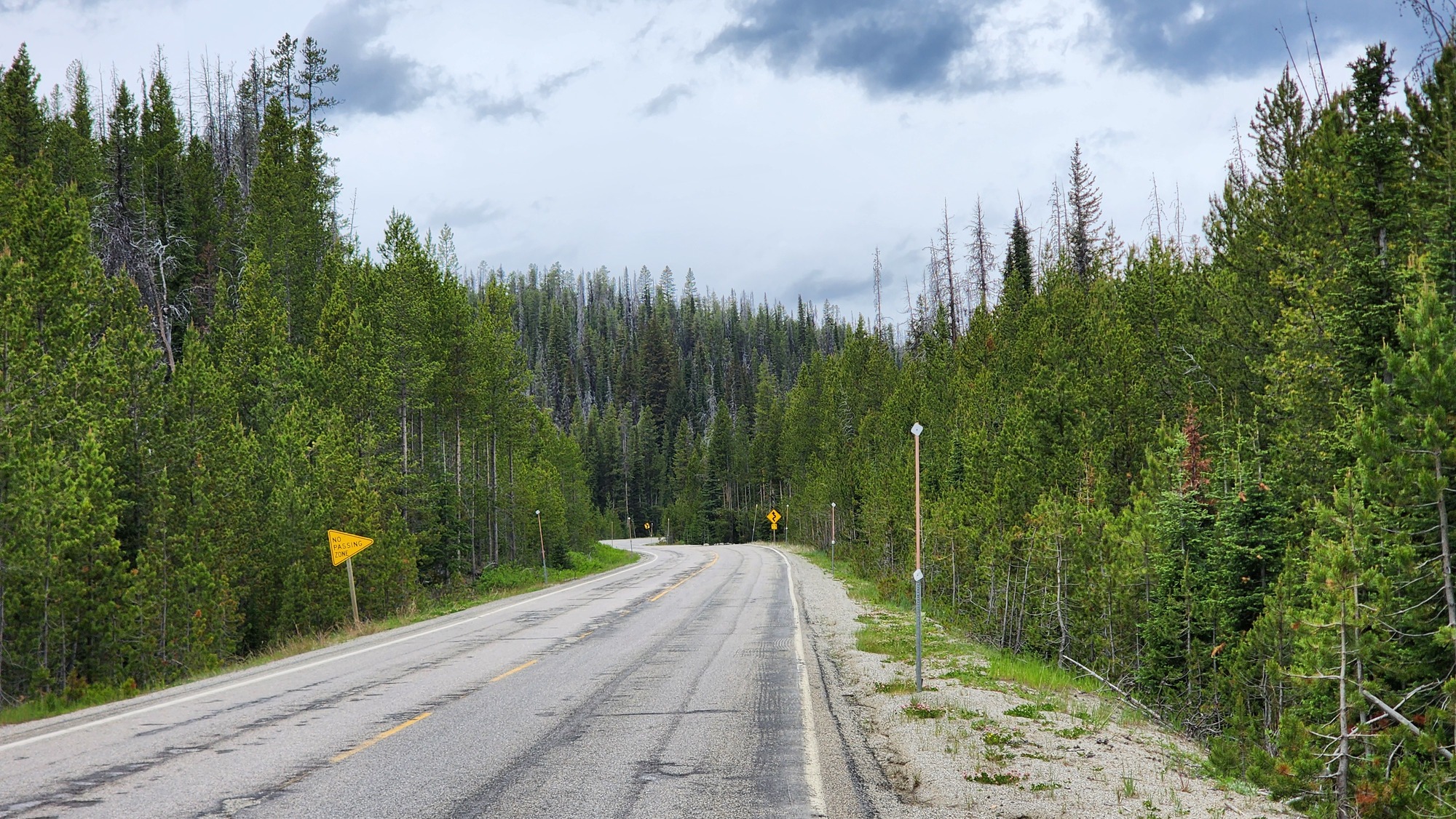
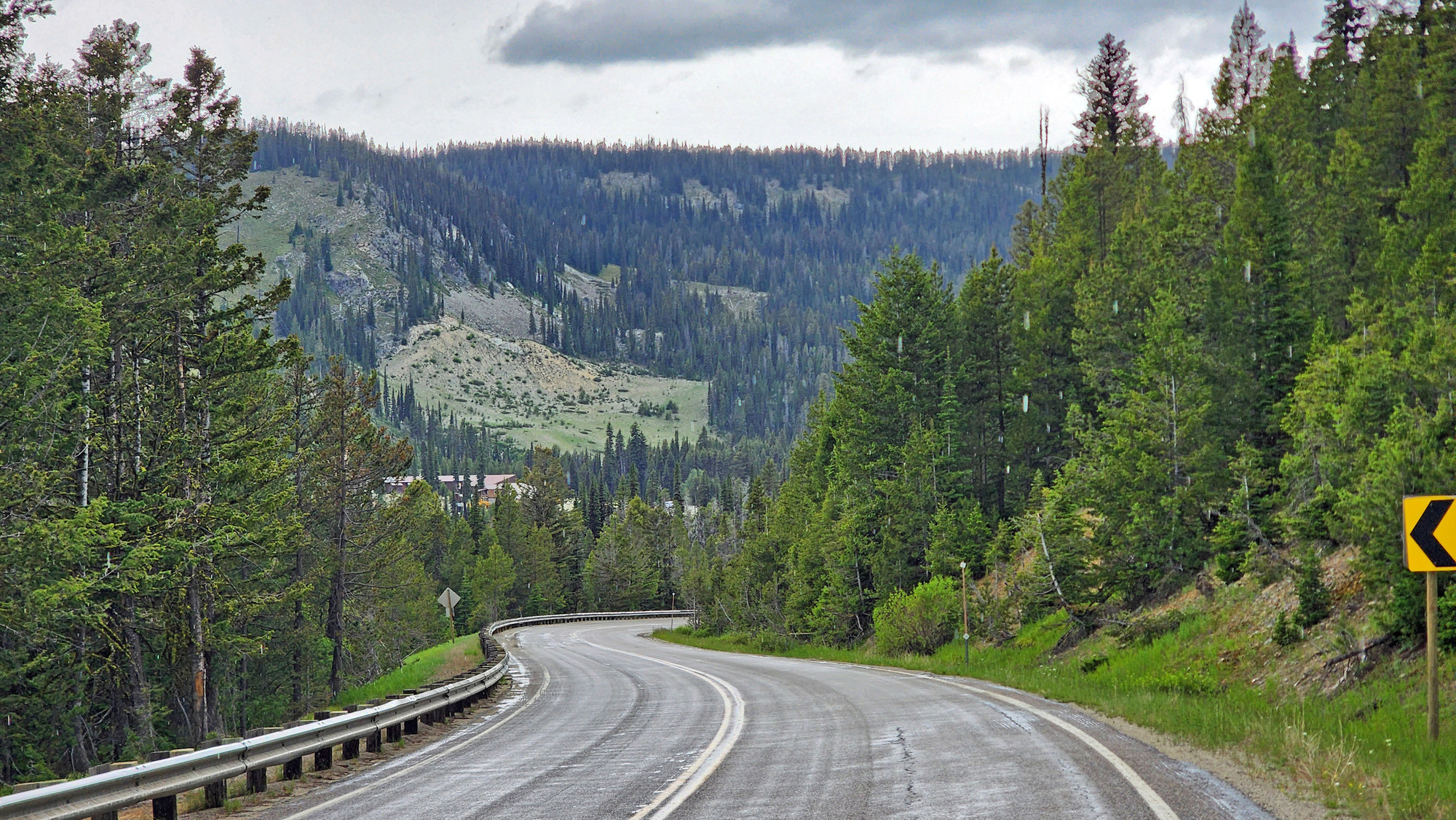
Climbing begins in earnest after the battlefield, but the grade is easy. No steeper than 4%. And it's only a 1200 foot climb to the summit. Forest begins, but most of the trees are either killed by beetles or killed by fire.

In the morning I had one encounter with a hostile oversize load truck. There was no traffic going the opposite direction but the big truck honked continuously when passing me.
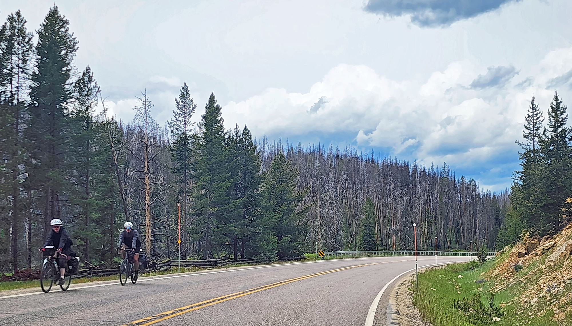
None of today's route has much of a shoulder, but traffic was light to moderate. More trucks than I saw the previous two days, but traffic had a very easy time getting around me.

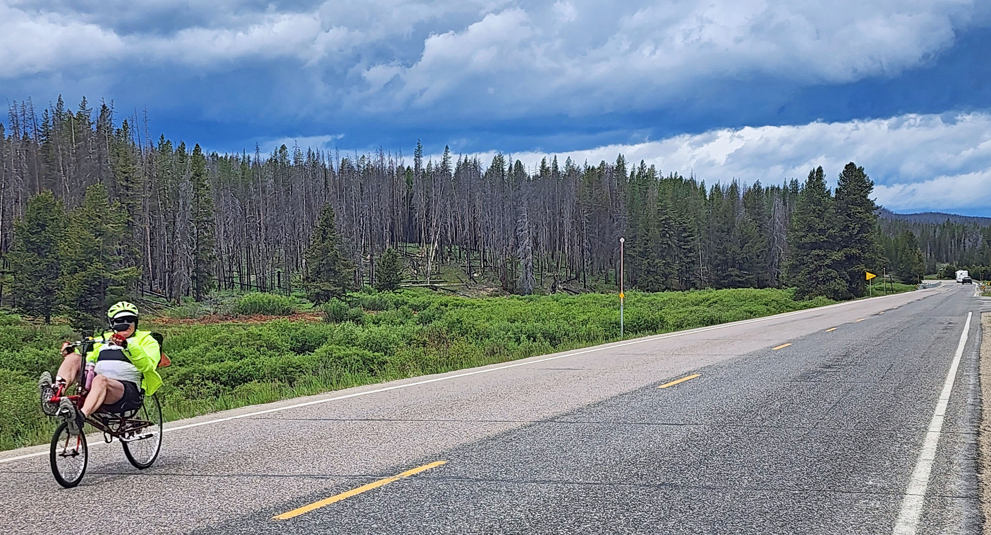
This is the TransAmerica bike route. I saw 3 loaded cycle tourists going east. I also saw 5 unloaded cyclists who appear to be pedaling cross country with motor vehicle support. I didn't talk to any of them. On the TransAmerica route, nobody gets excited when they see another cyclist because it's so common.
| Heart | 0 | Comment | 0 | Link |
| Heart | 1 | Comment | 0 | Link |
| Heart | 0 | Comment | 0 | Link |
| Heart | 0 | Comment | 0 | Link |
Heavy cold rain started just before I reached Chief Joseph pass. 49F rain mixed with rectangular chunks of ice. I put on full rain gear including gloves and booties. It was cold and wet.
I looked around but couldn't find a sign announcing the summit. Maybe I just couldn't see it because of the rain. I did find the sign when passing through on the same bike in 2013. It was set back pretty far from the road. That dilapidated wood sign would have been replaced by now. During this tour I had zero percent success finding summit elevation and Continental Divide signs.

| Heart | 0 | Comment | 0 | Link |
The gentle 1 mile descent to Lost Trail pass was very cold in the rain.
| Heart | 0 | Comment | 0 | Link |
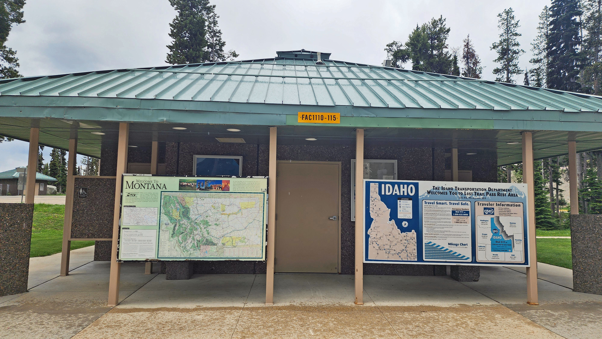
I took a long stop at Lost Trail pass waiting for the rain to slack off. The rest area looks different compared to when I passed through in 2013. The rustic National Forest guard station has been removed and replaced by a modern bathroom building. There is no Lost Trail Pass highway sign.
| Heart | 2 | Comment | 0 | Link |
I couldn't find a road sign indicating the 7014 foot summit or Lost Trail Pass. At the highway rest area I found this road map that also shows the Lewis and Clark expedition routes.

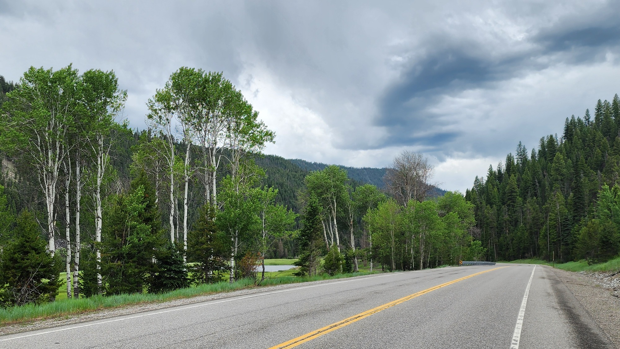
From Lost Trail pass I crossed into Idaho going south and began an extremely long descent to the Salmon river. This road has less traffic. Most of the traffic goes north into the Bitterroot valley, towards Missoula. The TransAmerica bike route also goes that direction.

The descent was great fun. Mostly 3% grade with curves that required little or no braking. Let 'er rip. The chance of rain seemed to decrease as I descended, but the temperature didn't warm up. A cold front is passing through.

The forest is less burned on the Idaho side. Maybe fewer beetle kills as well. It's starting to look like the Pacific Northwest.


| Heart | 0 | Comment | 0 | Link |

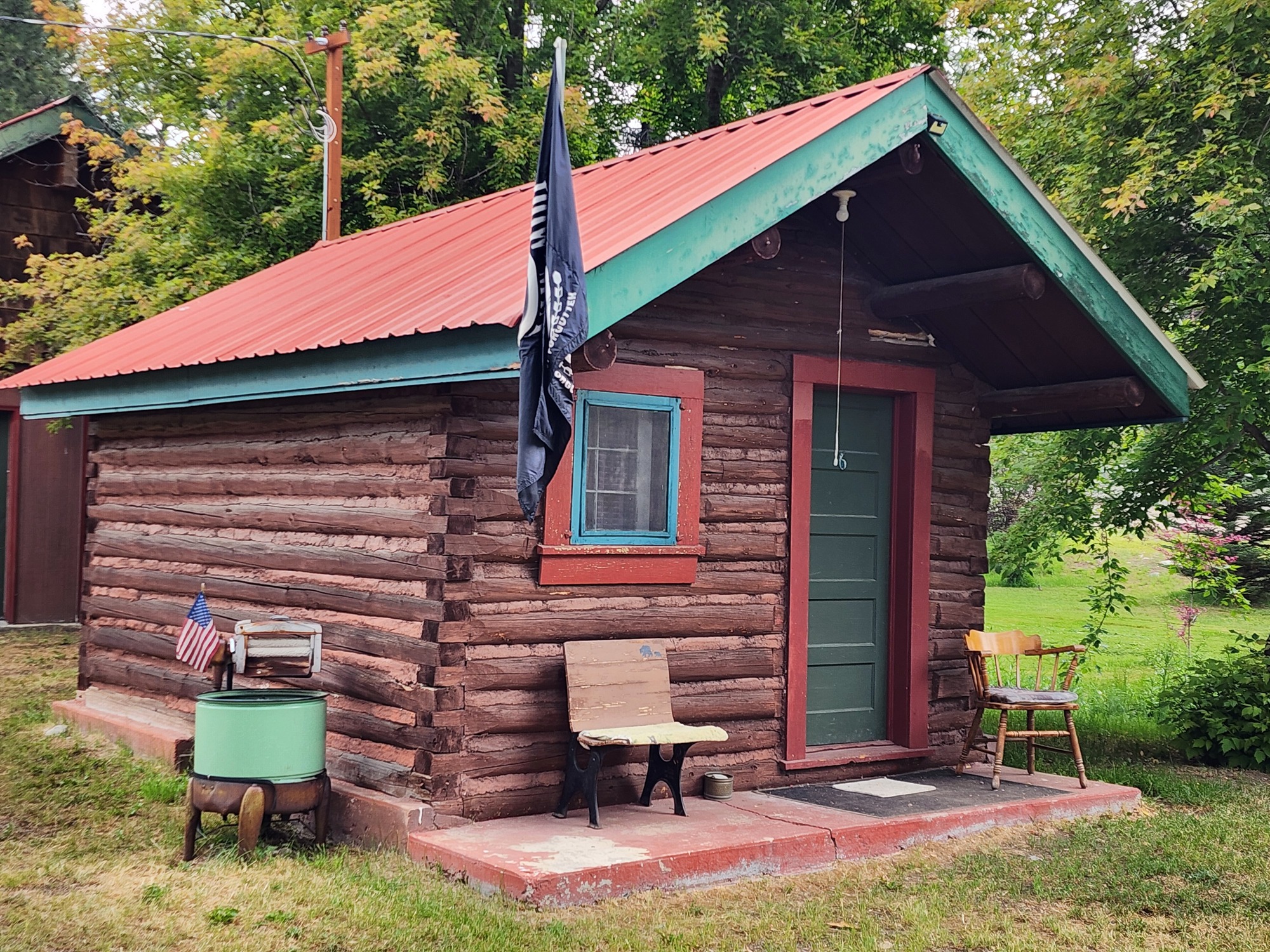
I pedaled several miles alongside the Salmon river before arriving at Broken Arrow cabins at 2:30 PM. It's in a community called Gibbonsville but there is no town. The cabins and restaurant are in the forest.
The rain had stopped but it was still cloudy and threatening to rain. There was another spell of rain in the evening.

The cabins look very cute on the outside. Kind of plain and basic on the inside.
| Heart | 1 | Comment | 0 | Link |
My cabin has a baseboard heater which I turned on. Temperature was in the 50's. Also a fridge, microwave, coffee maker, fan, and lamp (and my USB charger) sharing one duplex AC outlet. Plug in any two things.

I took a 2.5 hour nap, then had dinner at the Mexican restaurant 100 feet away. It was very good. I took my time. They were busy-it's Friday night. After dinner I paid for my cabin and the dinner. $139.46 for the cabin, enchilada dinner, pie a la mode, 3 beers, and a big tip. Fairly cheap.
I have no W-Fi signal at the cabin. I had to go to the front porch of the restaurant to get Wi-Fi. I didn't bother using the tiny shower in the shared bathroom building.
Today was cool, high of about 65F before the rain started. 49F and chunky rain at Chief Joseph pass, then creeping up to 65F before an evening shower cooled it down again. Cold and rainy, but no mosquitoes! Hopefully no more mosquitoes for the rest of the tour.
Today I crossed the Continental Divide but the total climbing was reasonable, grades were easy, and for the first time I had more descent than ascent. I feel pretty good, and tomorrow will be easier than today.
Gibbonsville is in a forested canyon along the North Fork Salmon river, 900 feet higher than the confluence with the Salmon river. Still more downhill tomorrow morning.
Distance: 41.7 miles
Average Speed: 9.1 mph
Ascent/Descent: +1618/-2226 feet
Today's ride: 41 miles (66 km)
Total: 299 miles (481 km)
| Rate this entry's writing | Heart | 2 |
| Comment on this entry | Comment | 0 |