June 24, 2013
Day 1: To Pine Meadows campground, Cottage Grove reservoir
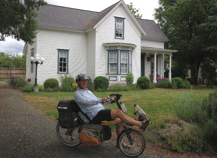
Today's route is a short distance, but with a big climb. It won't take all day so I left home after lunch, just before 1 PM.
The weather was overcast and humid with calm wind. Temperature in the low 60's. Much cooler than normal for an afternoon in late June. The forecast called for occasional showers, but I didn't get any rain until 5 PM.
| Heart | 1 | Comment | 0 | Link |
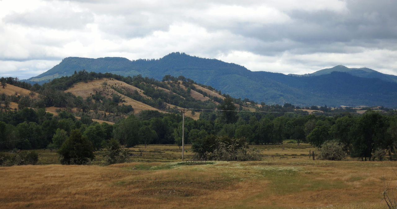
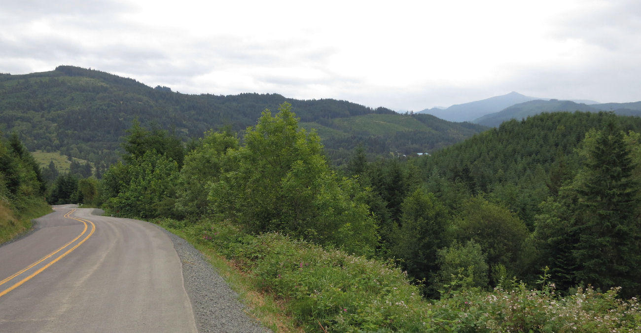
Starting at my house in Oakland I pedaled northeast on Driver Valley road. The clouds were high enough to offer views of the Calapooya Divide which I will circumnavigate during this tour.
| Heart | 1 | Comment | 0 | Link |
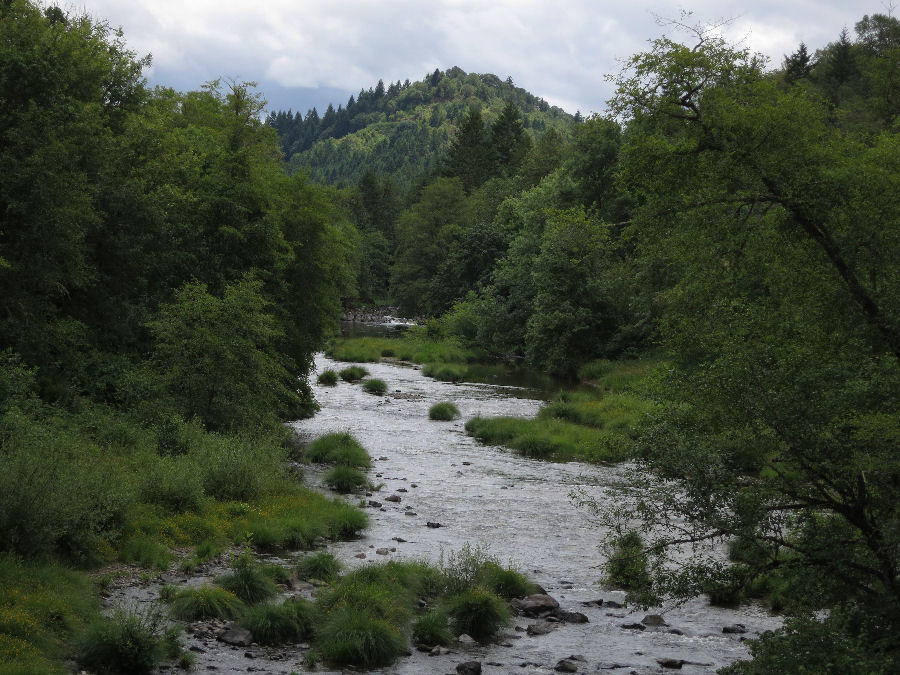
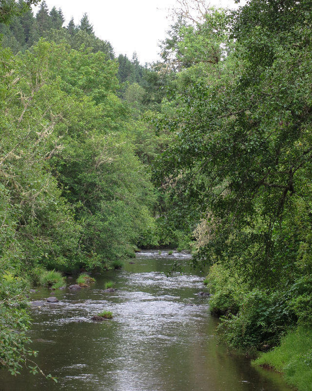
Three miles from home I cross Calapooya Creek, my local creek.
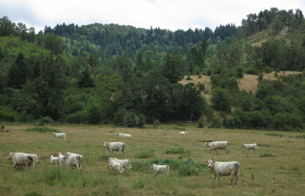
After 3.8 miles I turned left onto Elkhead road. It steadily climbs 700 feet. Pastures give way to forested hills. Two sections have 8% grades.
| Heart | 1 | Comment | 0 | Link |
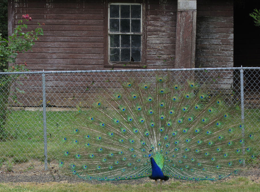
7 miles from home I took a short stop at Mildred Kanipe Memorial Park. I was surprised to see the peacocks still spreading their feathers. I thought they only did that during May. Thanks guys!
| Heart | 1 | Comment | 0 | Link |
The summit of Elkhead road is 700 feet higher than my house. A big climb but just a warmup for the next climb.
| Heart | 0 | Comment | 0 | Link |
After descending 350 feet to Elk Creek I turned right onto Scotts Valley road. 3 miles of the road is unpaved, broken up by short sections that are paved to reduce dust near houses.
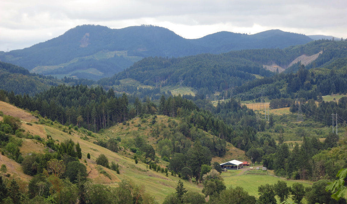
Scotts Valley road is mostly uphill but the real climbing begins after I turn right onto London Hill road which climbs at 8% grade to 1777 feet elevation. The hilltop divides the Umpqua watershed (where I live) from the Willamette watershed which is home to 70% of Oregon's population.
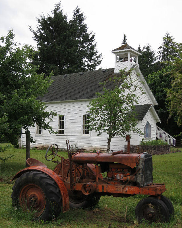
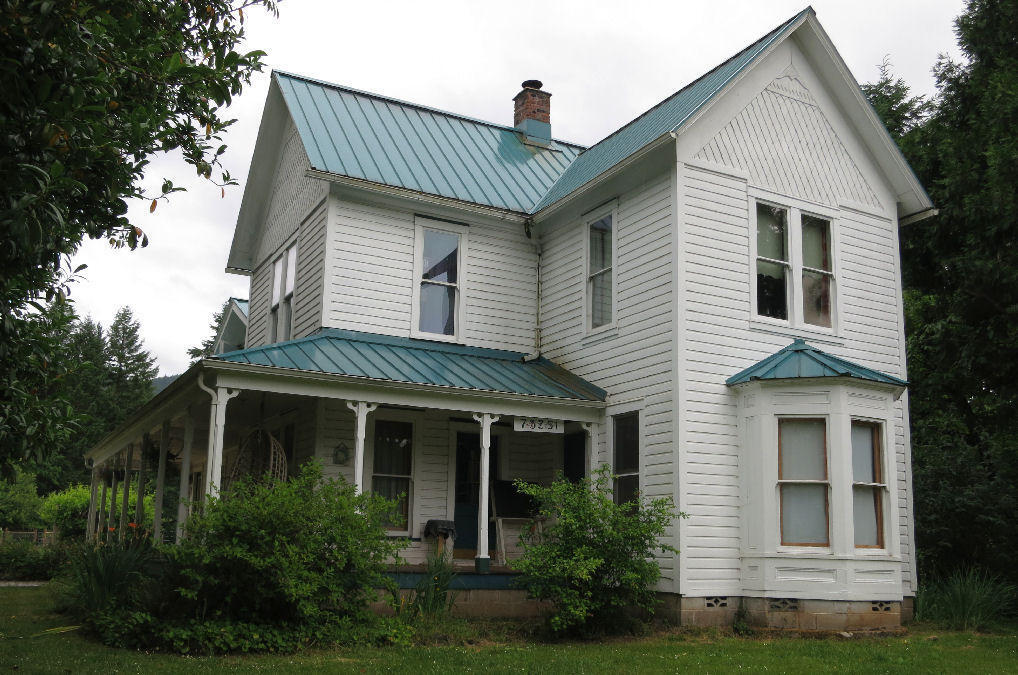
The descent ends at the quaint village of London, an unincorporated community with maybe 100 residents.
| Heart | 1 | Comment | 0 | Link |
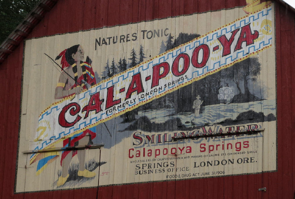
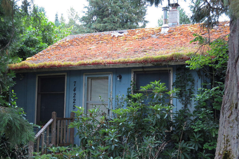
I have passed through this area before but never noticed London Springs a mile north of London. I like the Calapooya Springs mural on the barn.
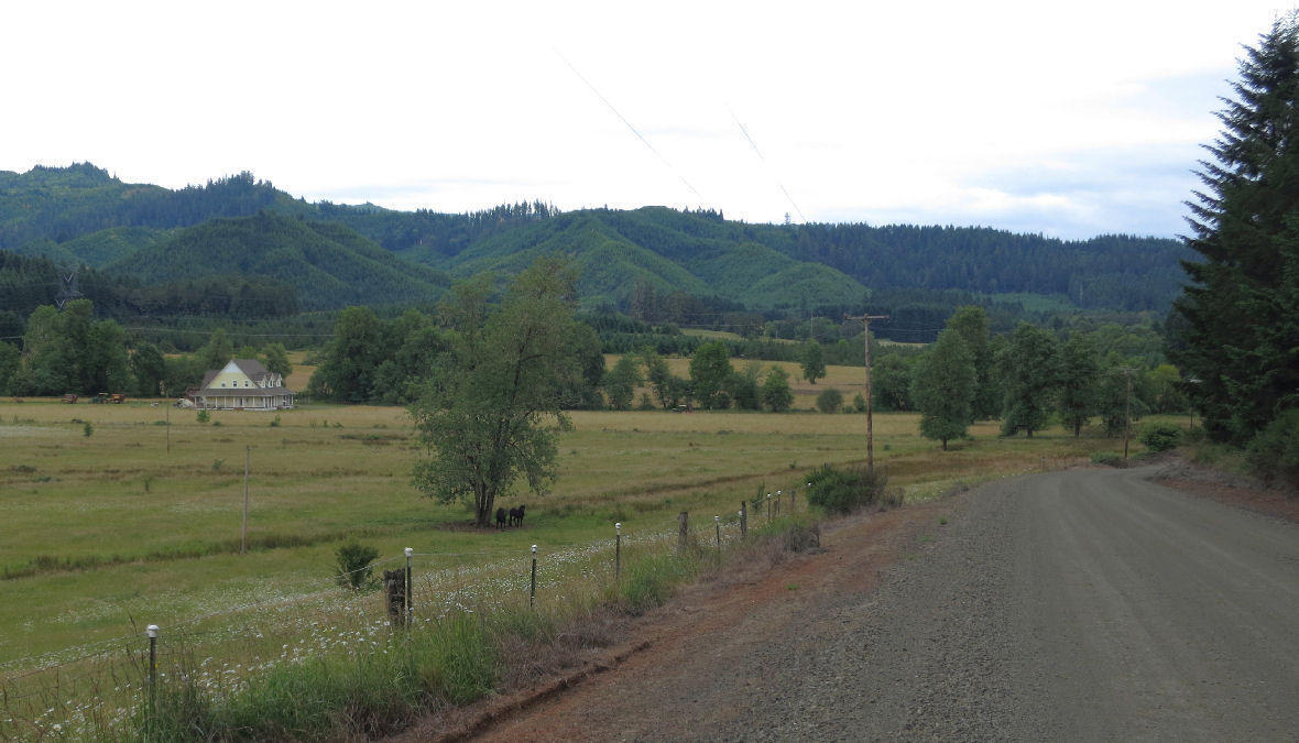
London is situated on the Coast Fork Willamette River, a minor tributary of the Willamette River which is a tributary of the Columbia river.
I had hoped to buy a beer at the London store, but it's closed now. Later I learned that the store closed a couple years ago after alcohol was banned at Cottage Grove reservoir.
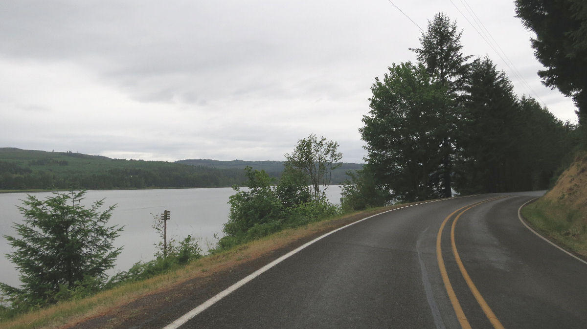
4 miles north of London I turned right onto Reservoir road which follows the east shore of Cottage Grove reservoir. Most of the recreation facilities are along this road.
Cottage Grove reservoir was built in 1940 by the U.S. Army Corps of Engineers. It's the oldest of 13 reservoirs built by the Corps in the Willamette watershed. The main purpose is flood control. The reservoirs are drained in the fall to give the capacity to hold back surges of winter and spring runoff.
As with all dams, the benefits are exaggerated while the cost and environmental consequences are understated. The 13 tributary dams control flooding pretty well on those tributaries. But the dams only modestly reduce flooding in Portland because 73% of the watershed is not controlled by dams.
| Heart | 0 | Comment | 0 | Link |
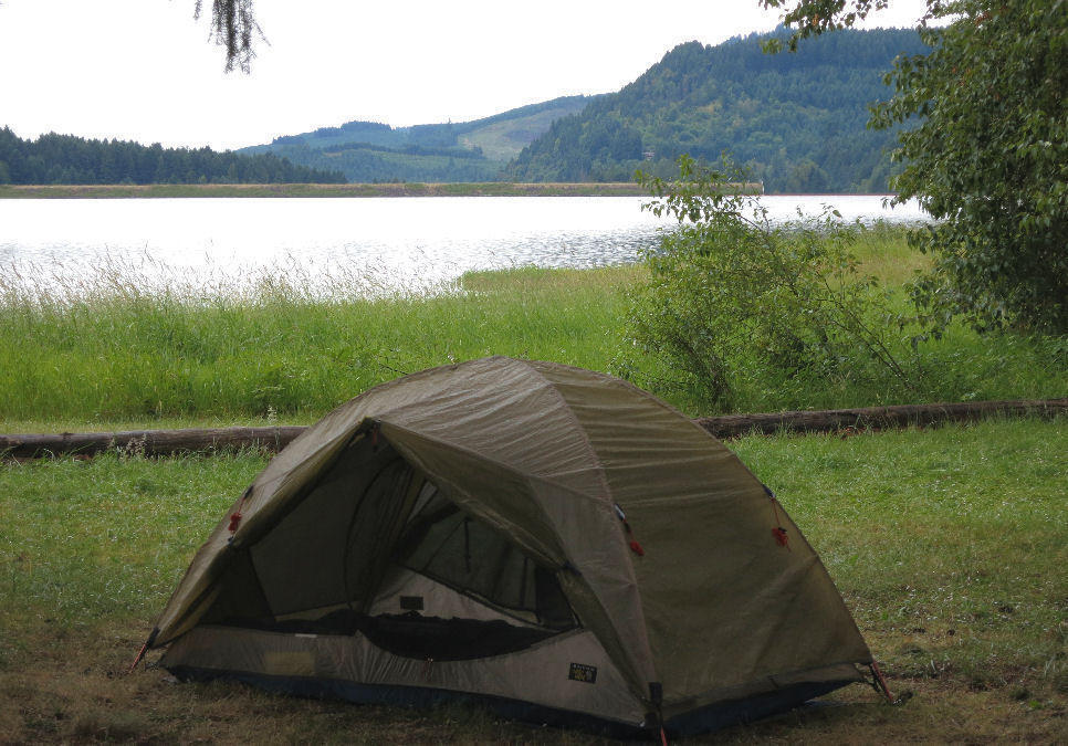
On the way to Pine Meadows campground I passed the primitive camping area. I debated camping there, but I still have to go to the main campground to register. Once at the main campground I decided to get a more expensive ($18) regular campsite to be closer to water faucets and the shower. I still got a lakefront campsite. The campground was mostly empty on a weekday during a spell of cold weather. It's a Corps of Engineers campground, fancier than Forest Service campgrounds.
I arrived at 5:45 PM. Today's ride took less than 5 hours. The roads had very little traffic. I probably saw fewer than 100 cars today. This route is regarded to be the best cycling route from the Willamette valley to the Umpqua valley.
The last hour of the ride had light rain. It rained while I stood in an uncovered area outside the registration booth. But the rain quit by the time I set up my tent. Later it rained lightly for about an hour, but it didn't penetrate the tree canopy.
| Heart | 0 | Comment | 0 | Link |
I was disappointed about the cloudy weather but still took a lot of pictures. I can shoot in any direction when it's cloudy.
There are no stores on today's route. Good thing I started with a big stockpile of food.
Distance: 30.3 miles (48.5 km)
Climbing: 2281 feet (691 m)
Average Speed: 8.3 mph (13.3 km/h)
Unpaved roads: 3 miles (4.8 km)
Hiking: 1 mile (1.6 km)
Waterfalls: 0
Covered Bridges: 0
Today's ride: 30 miles (48 km)
Total: 30 miles (48 km)
| Rate this entry's writing | Heart | 2 |
| Comment on this entry | Comment | 0 |