March 5, 2024
Day 28: Huelva to Vila Real
| Heart | 0 | Comment | 0 | Link |
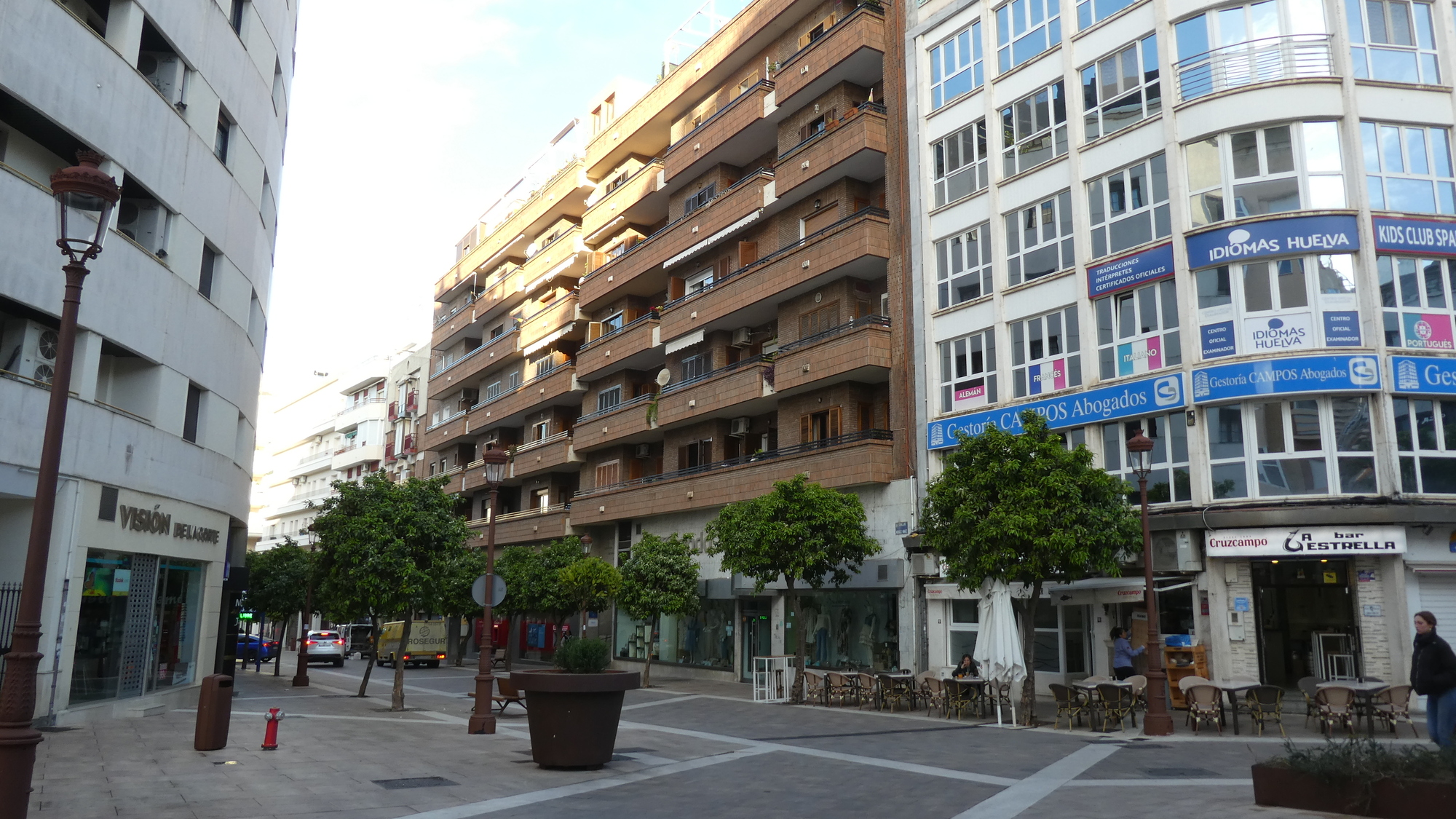
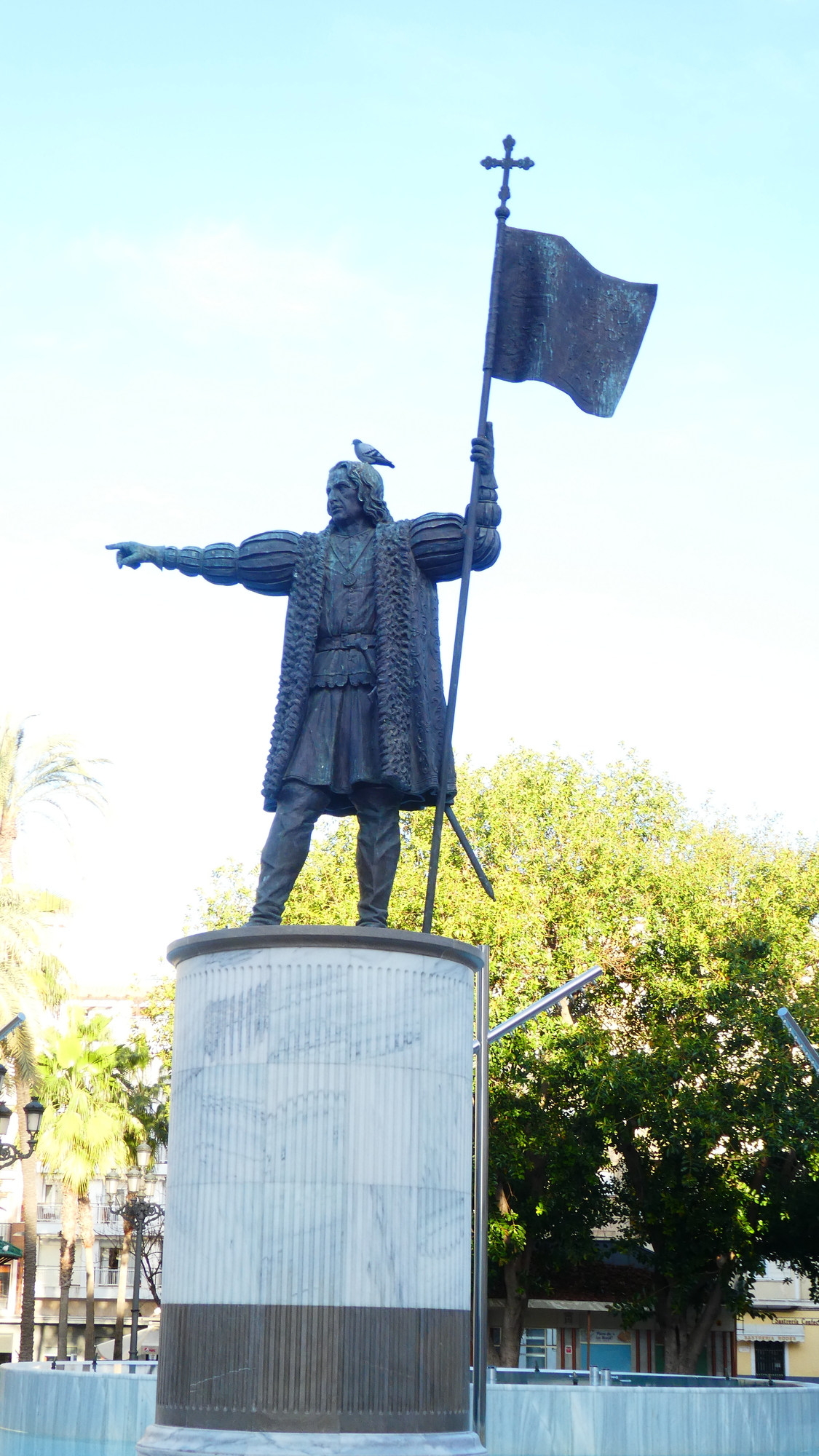
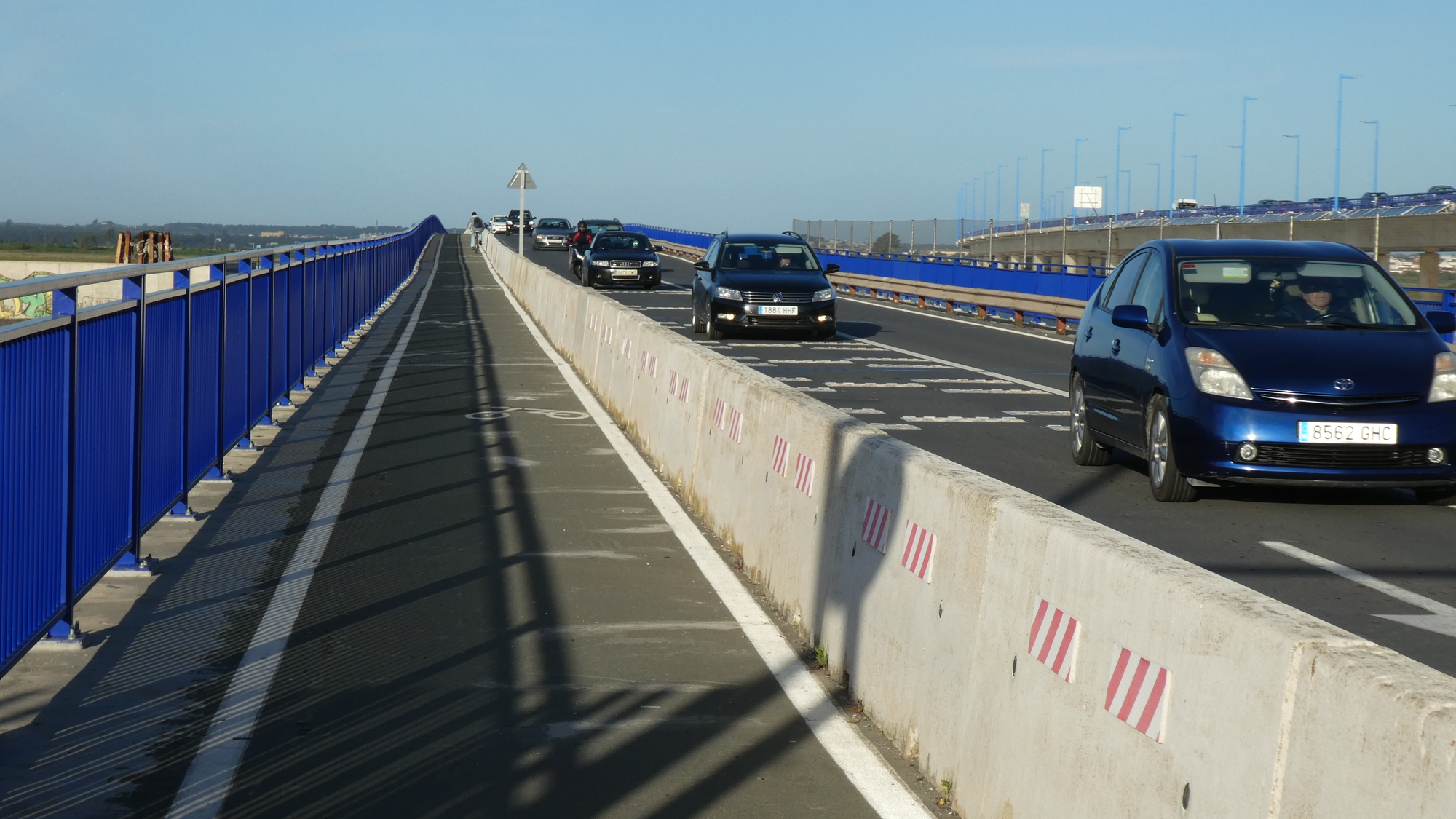
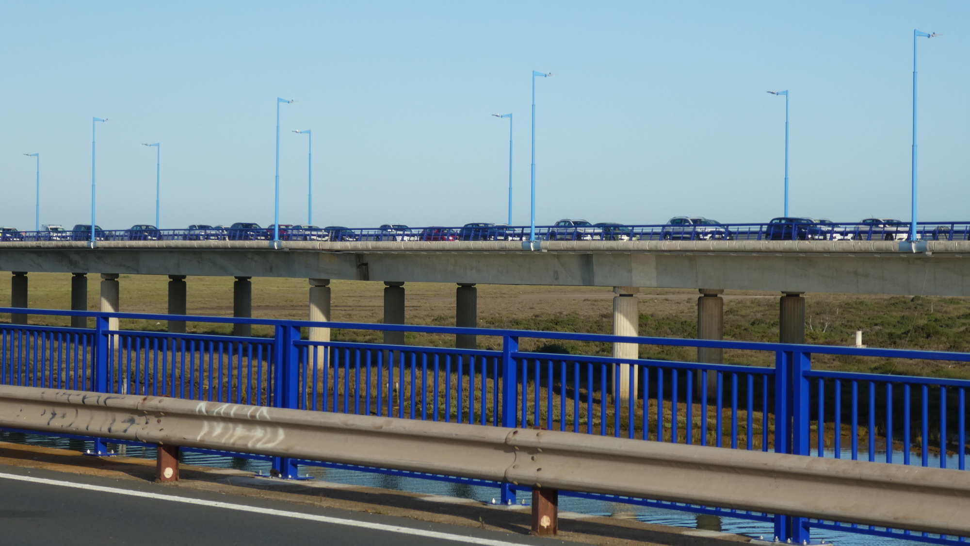
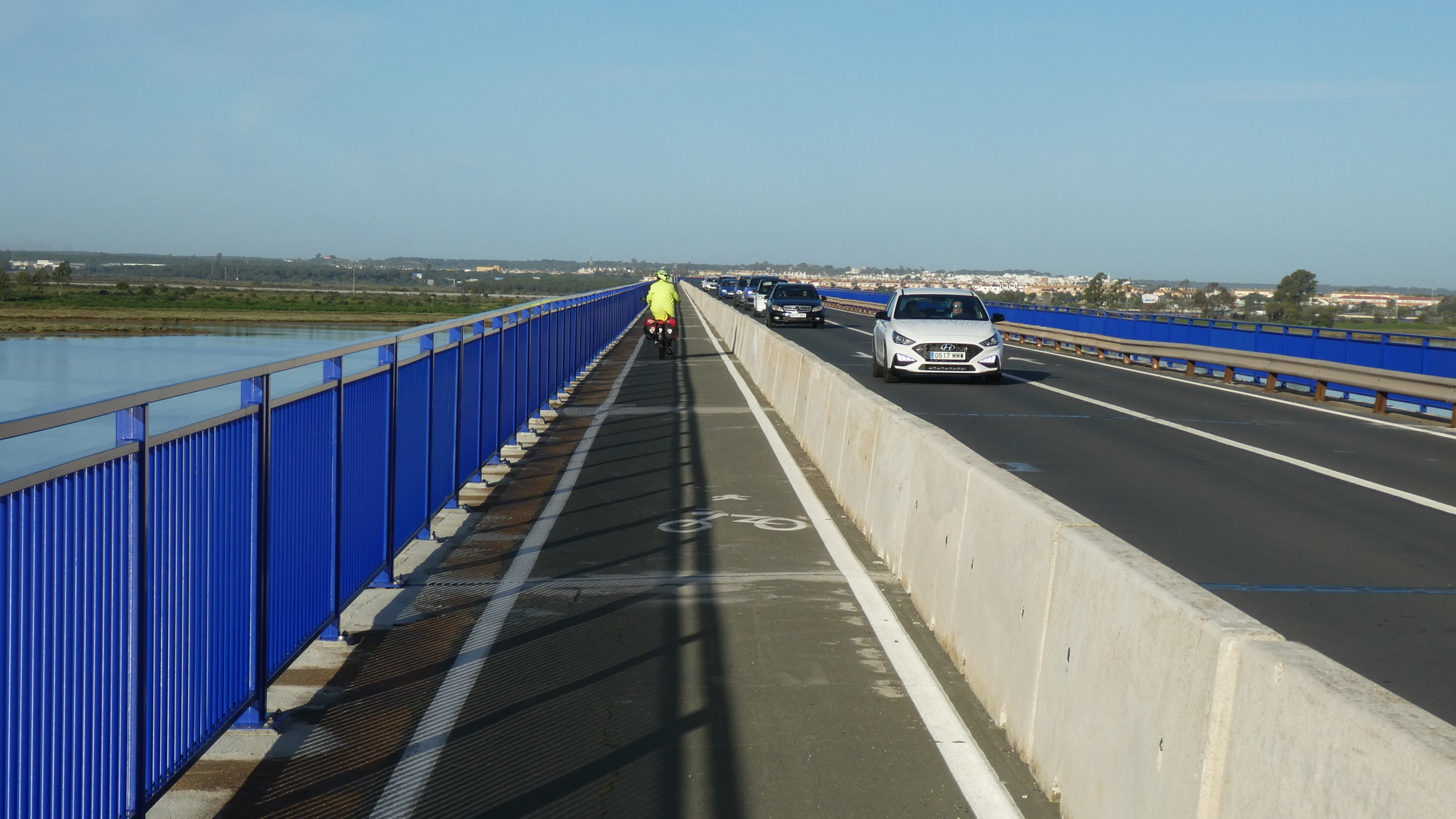
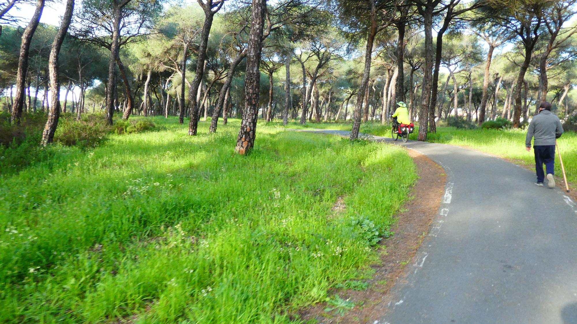
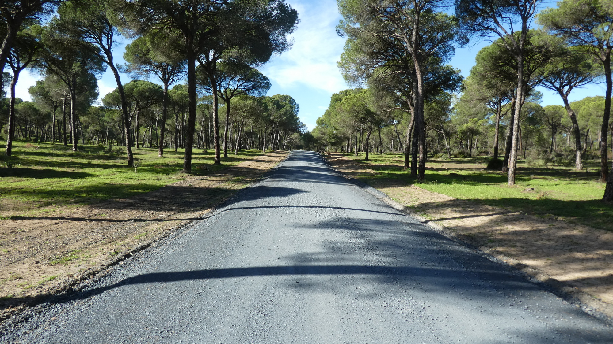
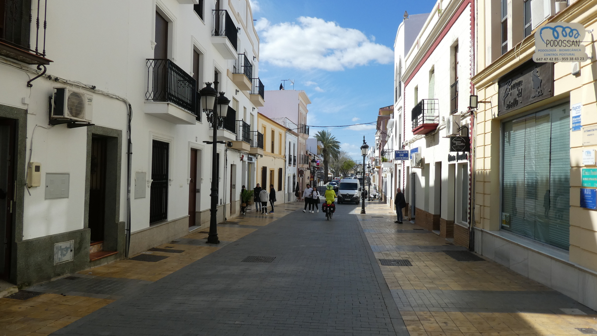
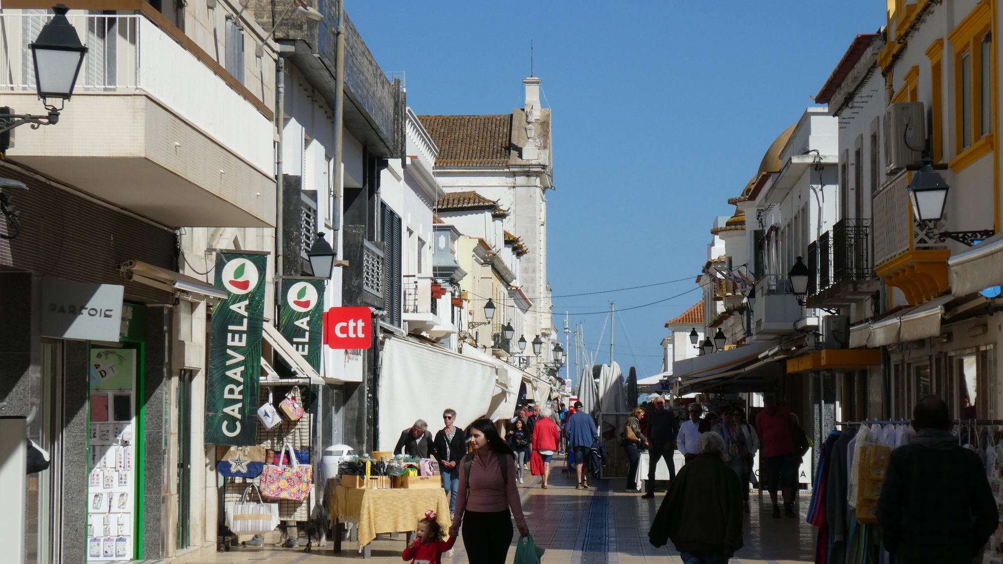
We rolled easily out the front door of our hotel and into the streets of Huelva. Looking around and seeing generally the photo below, I commented to Dodie about why did the Classens say that the buildings of Huelva were so beautiful. We assumed we needed to be more in the centre to see it, so we diverted to the Christopher Columbus statue. That was cool, but we still "weren't seeing it". Oh well, we were content to make for the "Classen Bridge" (ok, otherwise known as the Punta Umbria bridge). Beyond that we hoped to find a lot of bird filled salt marshes!
| Heart | 2 | Comment | 0 | Link |
| Heart | 0 | Comment | 0 | Link |
| Heart | 1 | Comment | 0 | Link |
| Heart | 3 | Comment | 0 | Link |
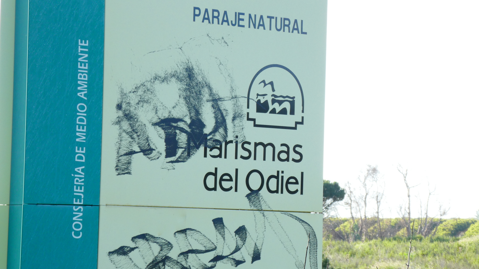
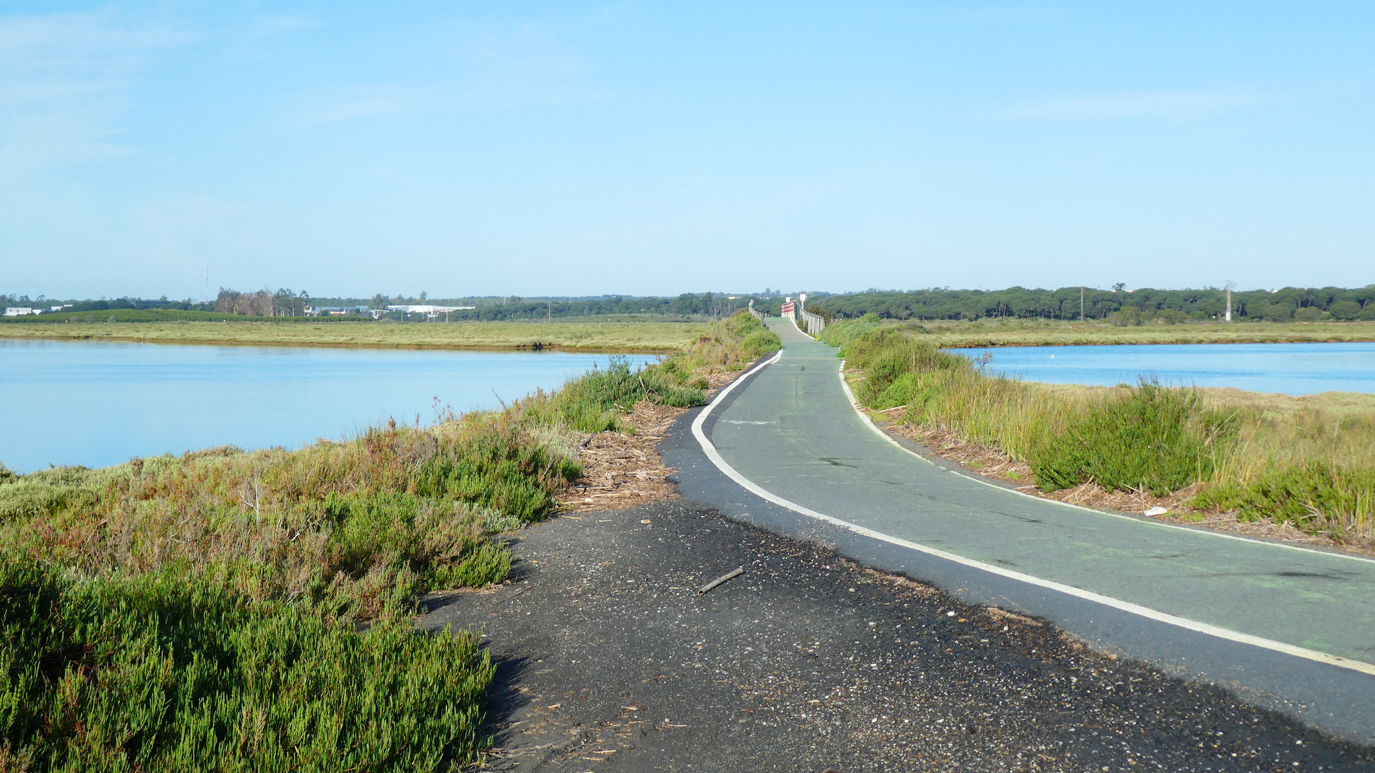
Across the bridge there were indeed salt flats and salt marshes.
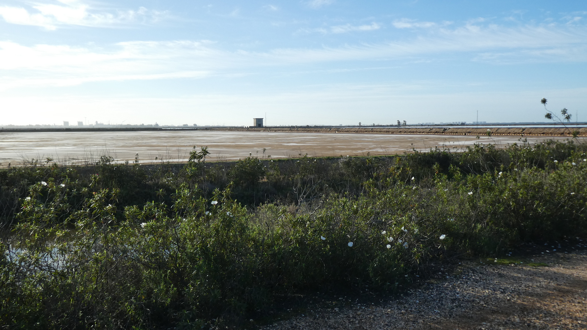

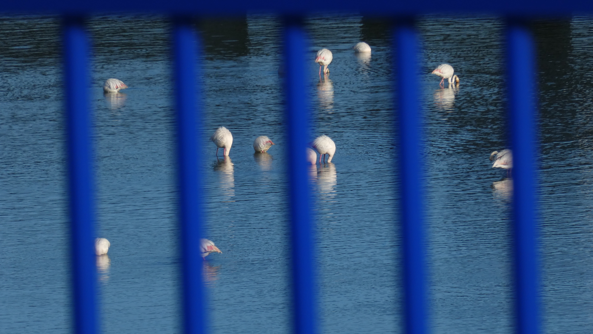
This area is a big deal, a natural space (paraje natural) under the auspices of the "council of the environment", and so forth.
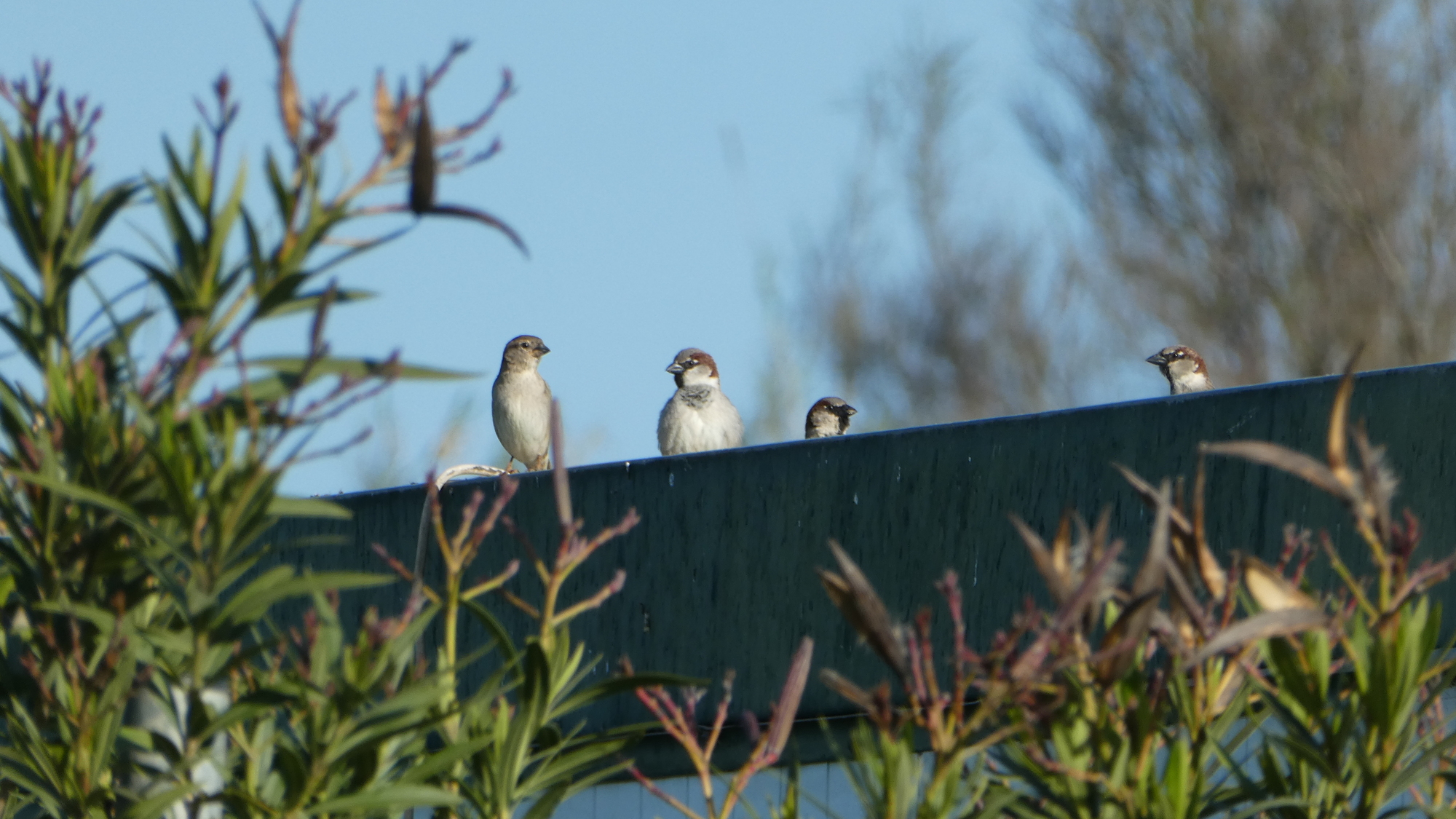
And look, they say we will see dozens of birds here!
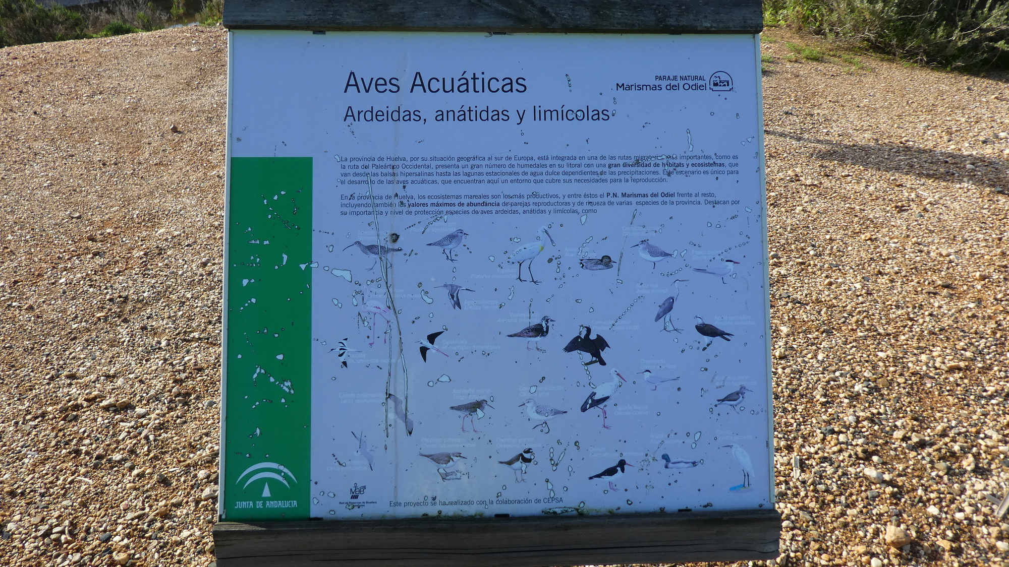
Alas, maybe it was the exact season or time of day, but all we saw was one or two lonely gulls!
| Heart | 2 | Comment | 0 | Link |
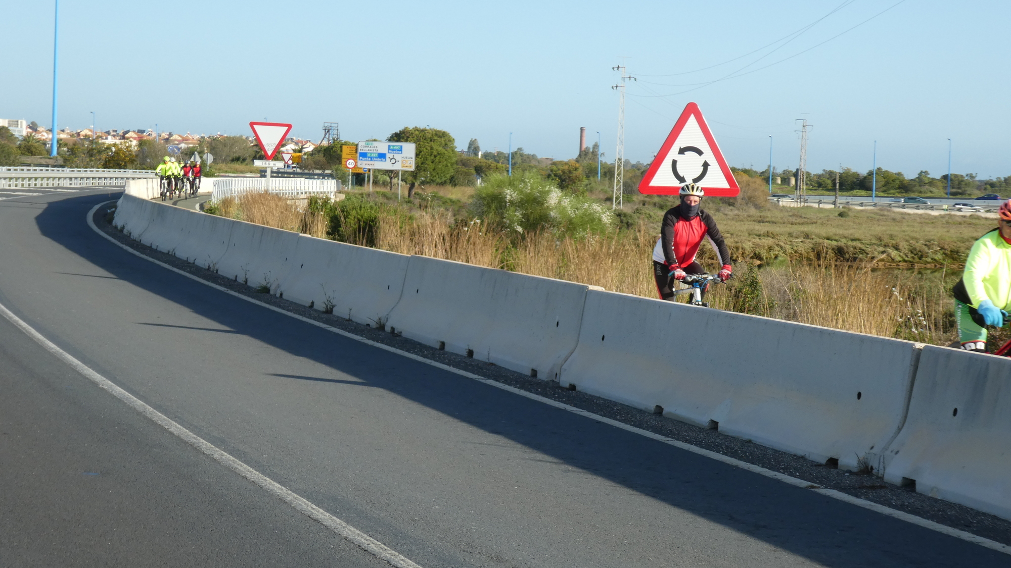
We were disappointed to not see a single bird in the bird area, but we gamely carried on. At this point Dodie mentioned the possibility of going south toward the coast, along the coast to El Rompido, and then north to Cartaya. The alternative was to use our Google generated track, and to go "straight" to Cartaya. Having no rationale for a detour down south, I voted to stay on target, a la Google, and Dodie went along with that. She forgot never to trust my instincts!
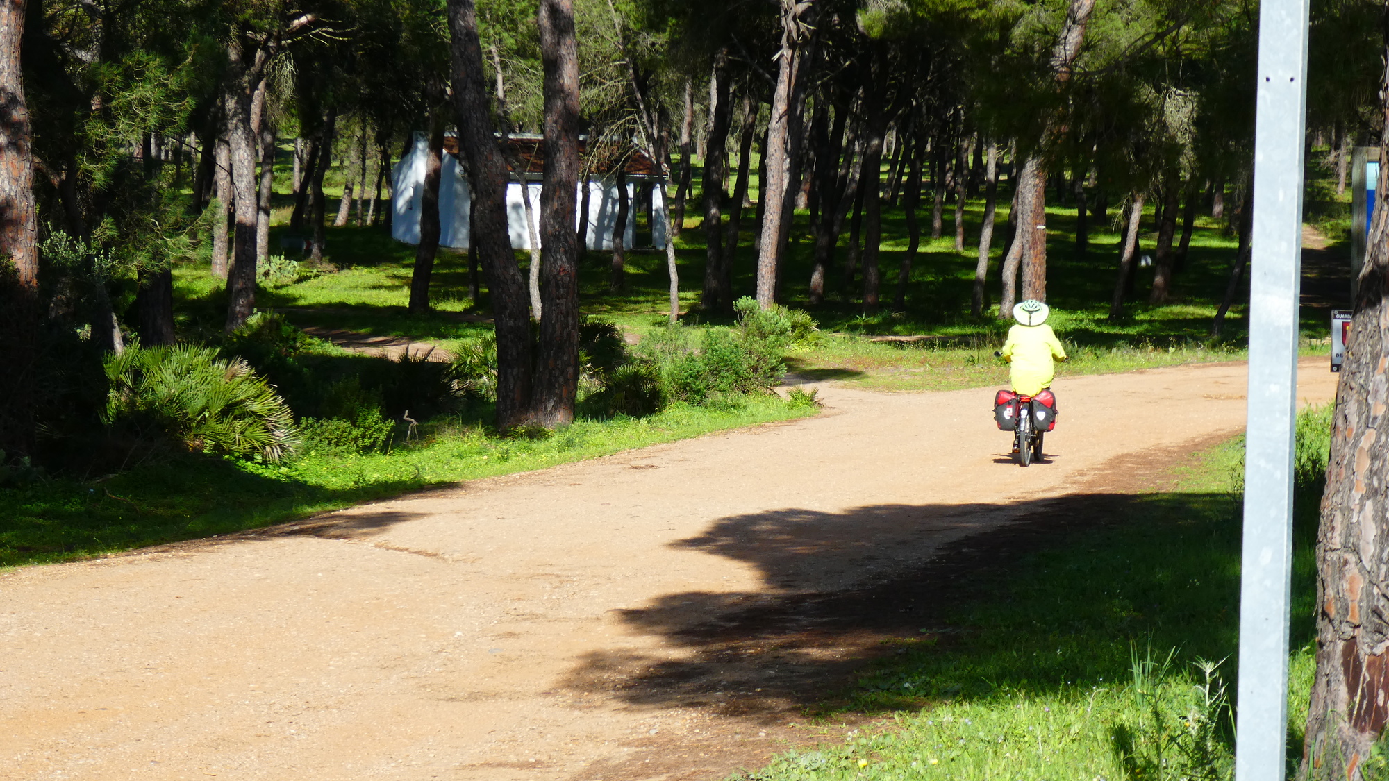
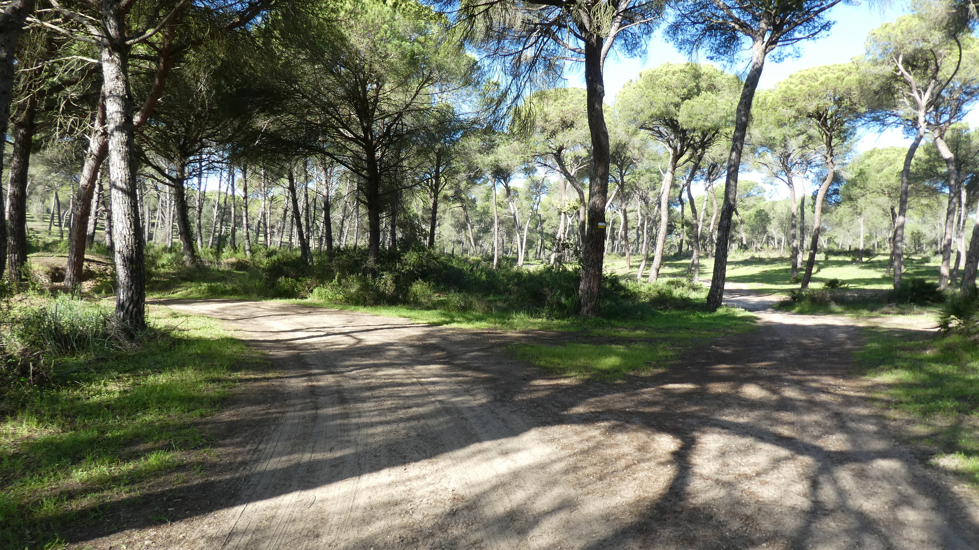
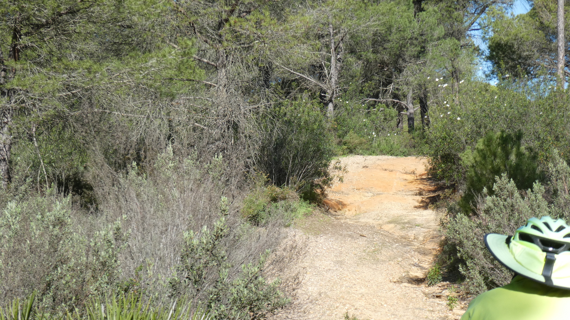
And so, when it came to pass that Google directed us onto a dirt road, we went with it. But it was a classic Grampie trap. A sand trap, to be specific. That is, the road turned to sand, and we turned to pushing the bikes. After we had pushed for some time, Dodie declared that the GPS didn't really quite know where we were, but it looked like we would push for some many kms! After more pushing, we came to a gravel road. Gravel looked like a superhighway to us at the point, and we took it. But soon it was clear we needed to go back in the sand, to be going in our approximate right direction. The sand got rougher and Dodie thought I might have to help her push, but she did manage to power through.
| Heart | 1 | Comment | 0 | Link |
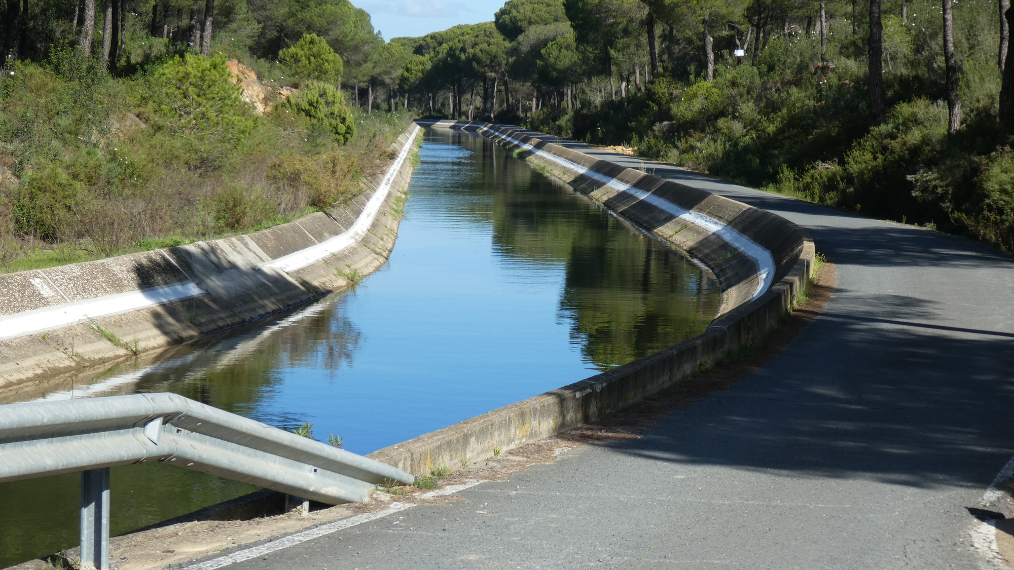
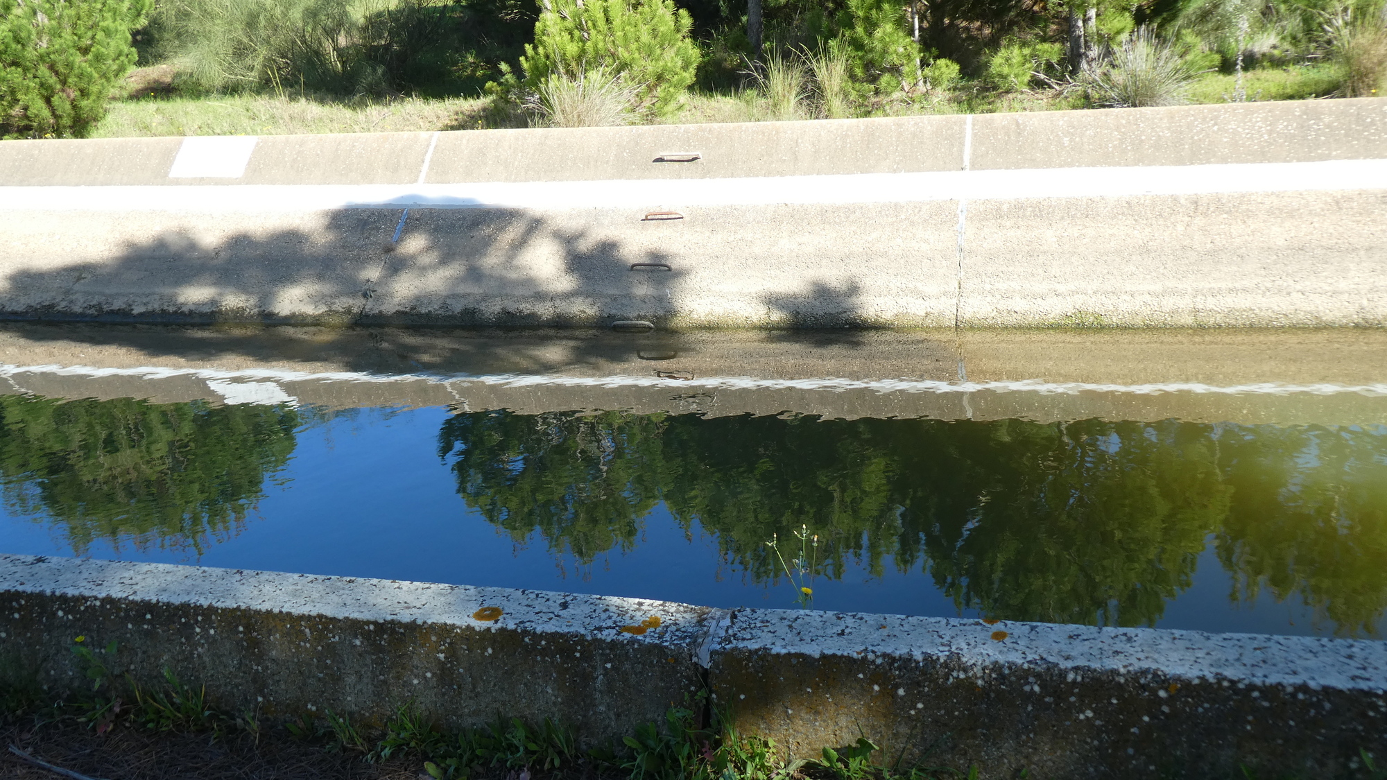
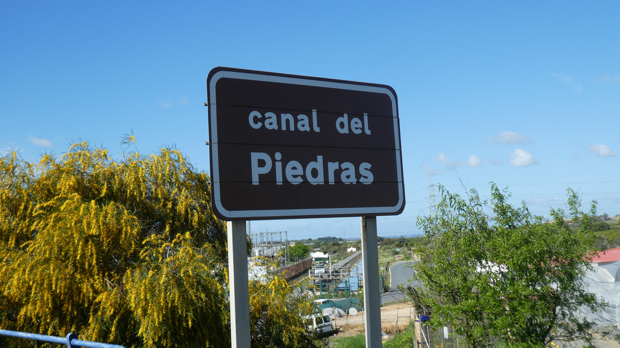
We were suspicious when we came to a canal, with a paved access road. Did it go anywhere useful?
| Heart | 0 | Comment | 0 | Link |
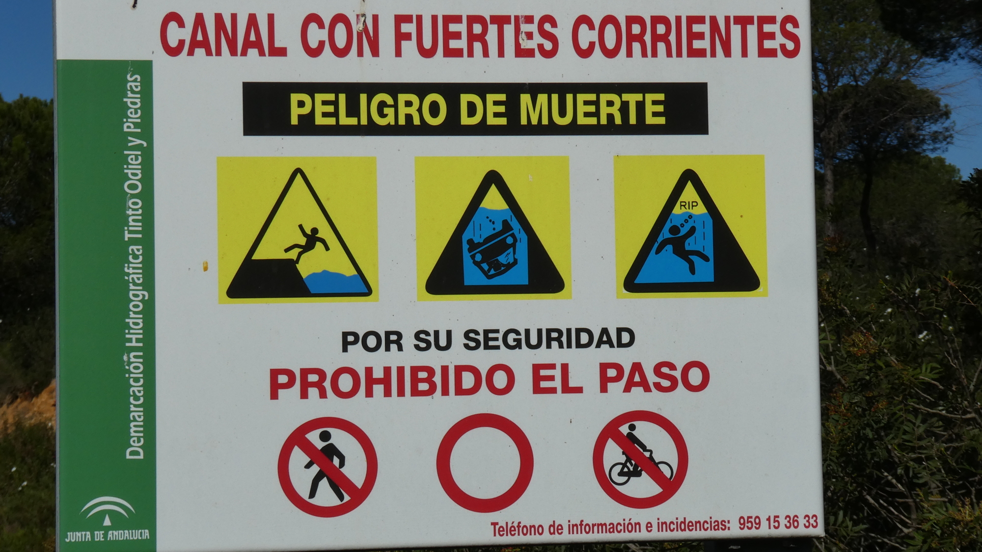
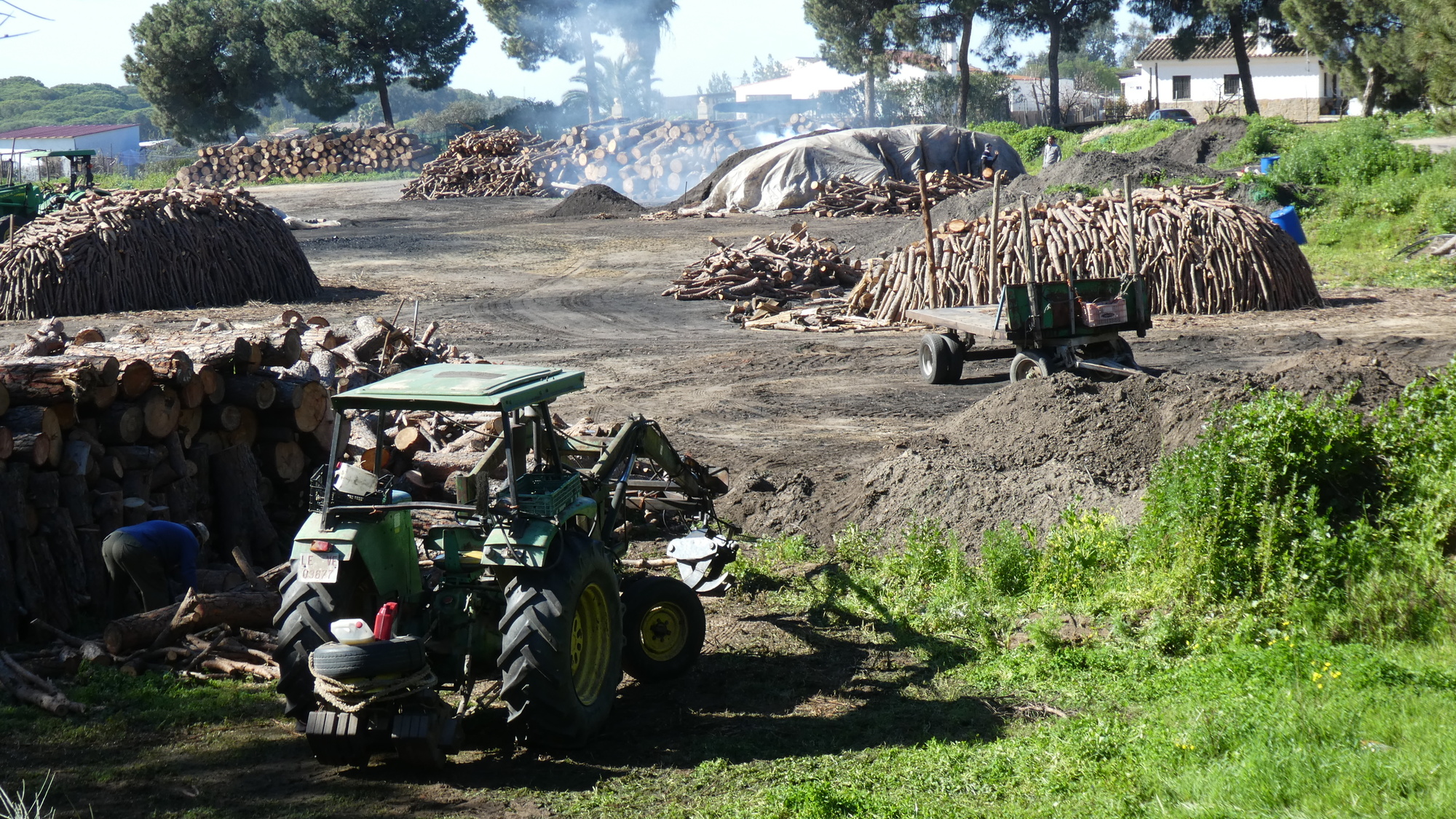
So yes, we of course took the canal. We did pass an interesting charcoal producing operation, but otherwise occupied ourselves looking at what was indeed the impossibility of escaping from the sharply beveled canal, should one fall in.
| Heart | 0 | Comment | 0 | Link |
| Heart | 0 | Comment | 0 | Link |
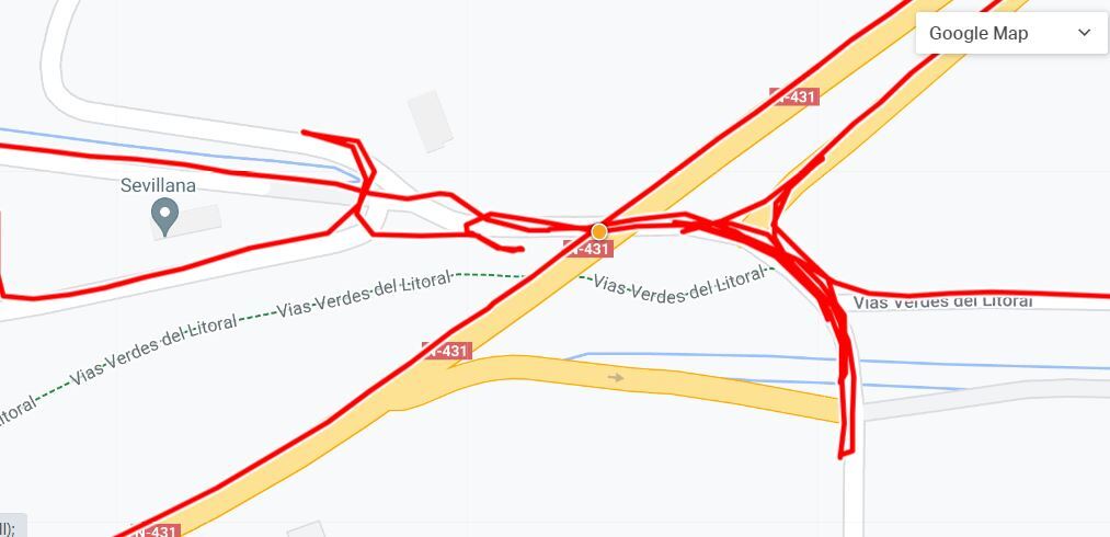
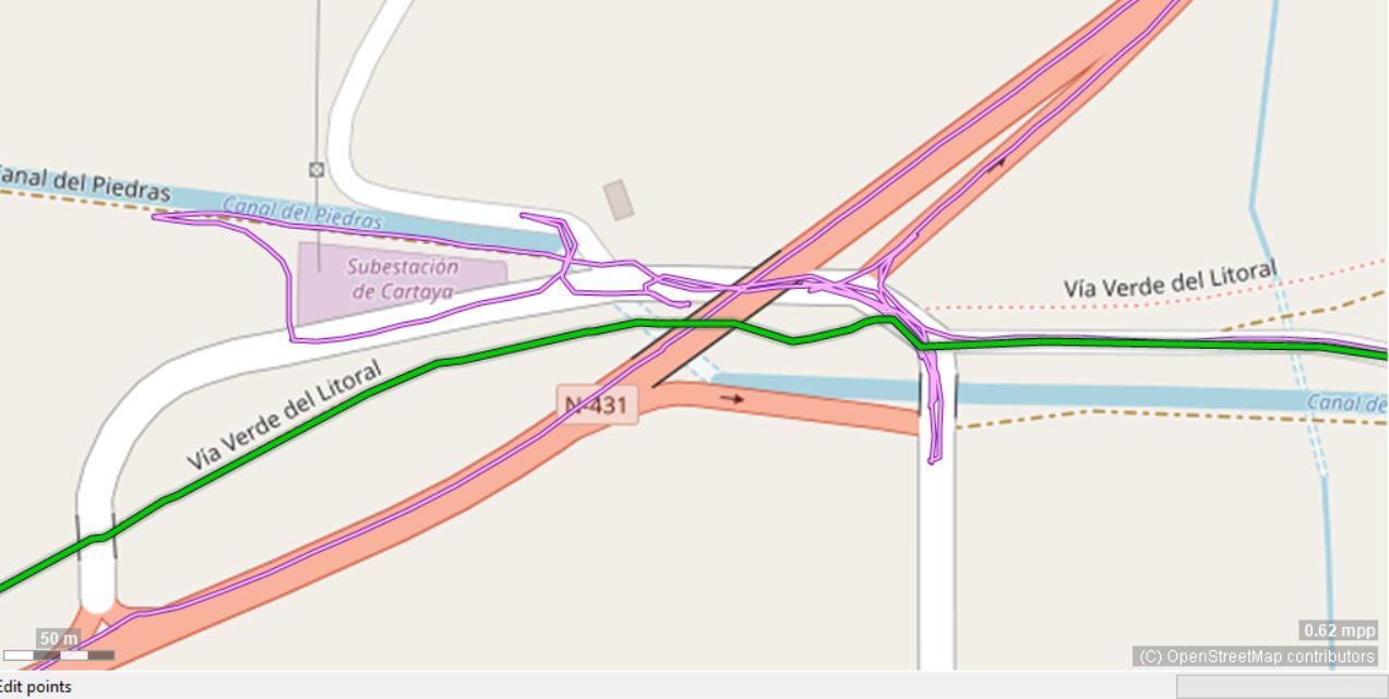
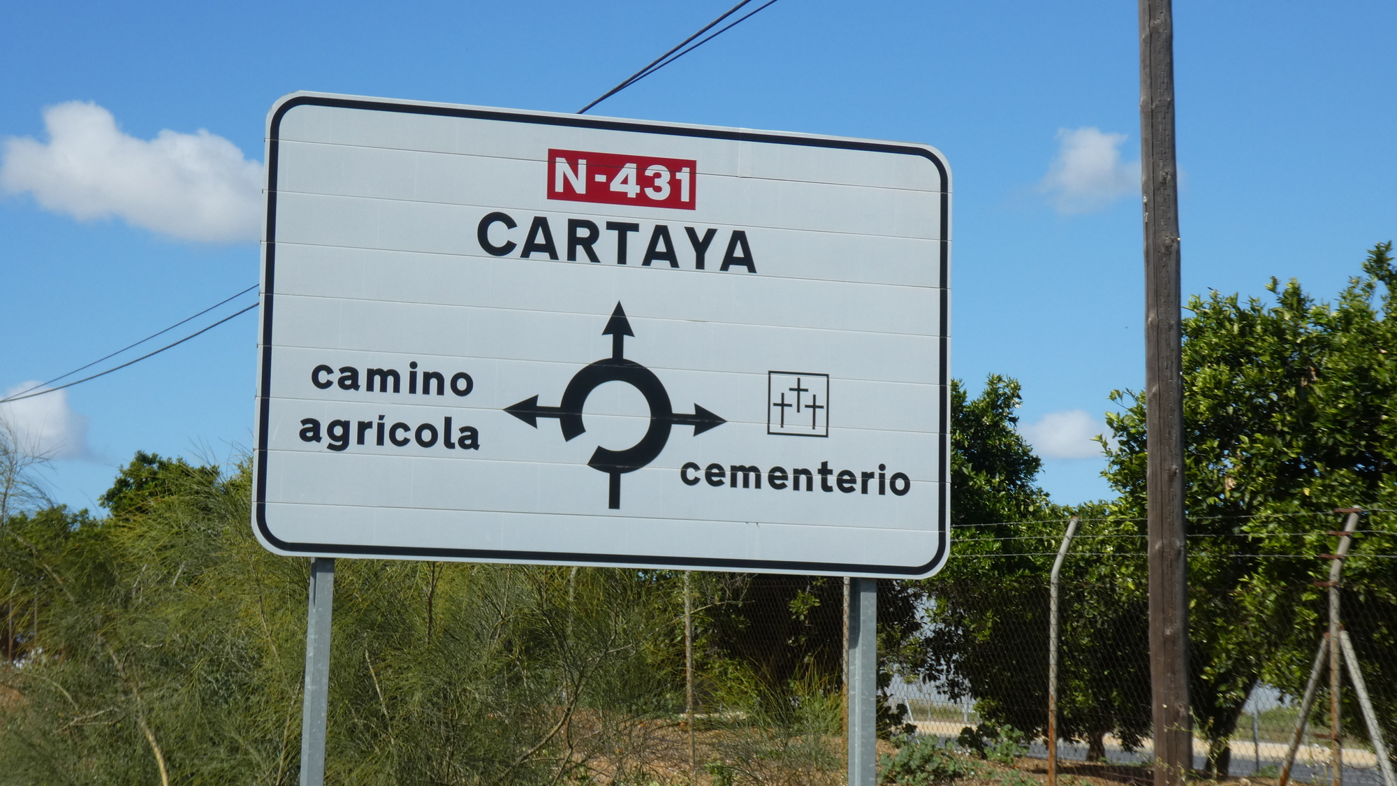
At length the canal came out to the highway, N431. Or it sort of came to the highway, and stopped, only to somehow restart some distance beyond. When the canal stopped, our road somehow became six or more other roads, going in all directions, including under 431, beside it, away from it, whatever. One of these roads had to be our "track", but as we followed each in turn, none turned out to be right. The GPS was just not accurate enough to clearly tell us which of the roads in front of us was the way to go. After we had tried every road in sight, I mentioned to Dodie that in such cases it usually turns out to be the unreachable high speed road overhead that is what we need to go on. At this point, indeed, 431 was up in the air, maybe to help it go over the canal. So we found our way up and onto 431, and continued toward Cartaya. Not until now, in the quiet hotel, and with all our tools, is it clear where the track we had been looking for went to.
| Heart | 0 | Comment | 0 | Link |
| Heart | 0 | Comment | 0 | Link |
| Heart | 0 | Comment | 0 | Link |
| Heart | 0 | Comment | 0 | Link |
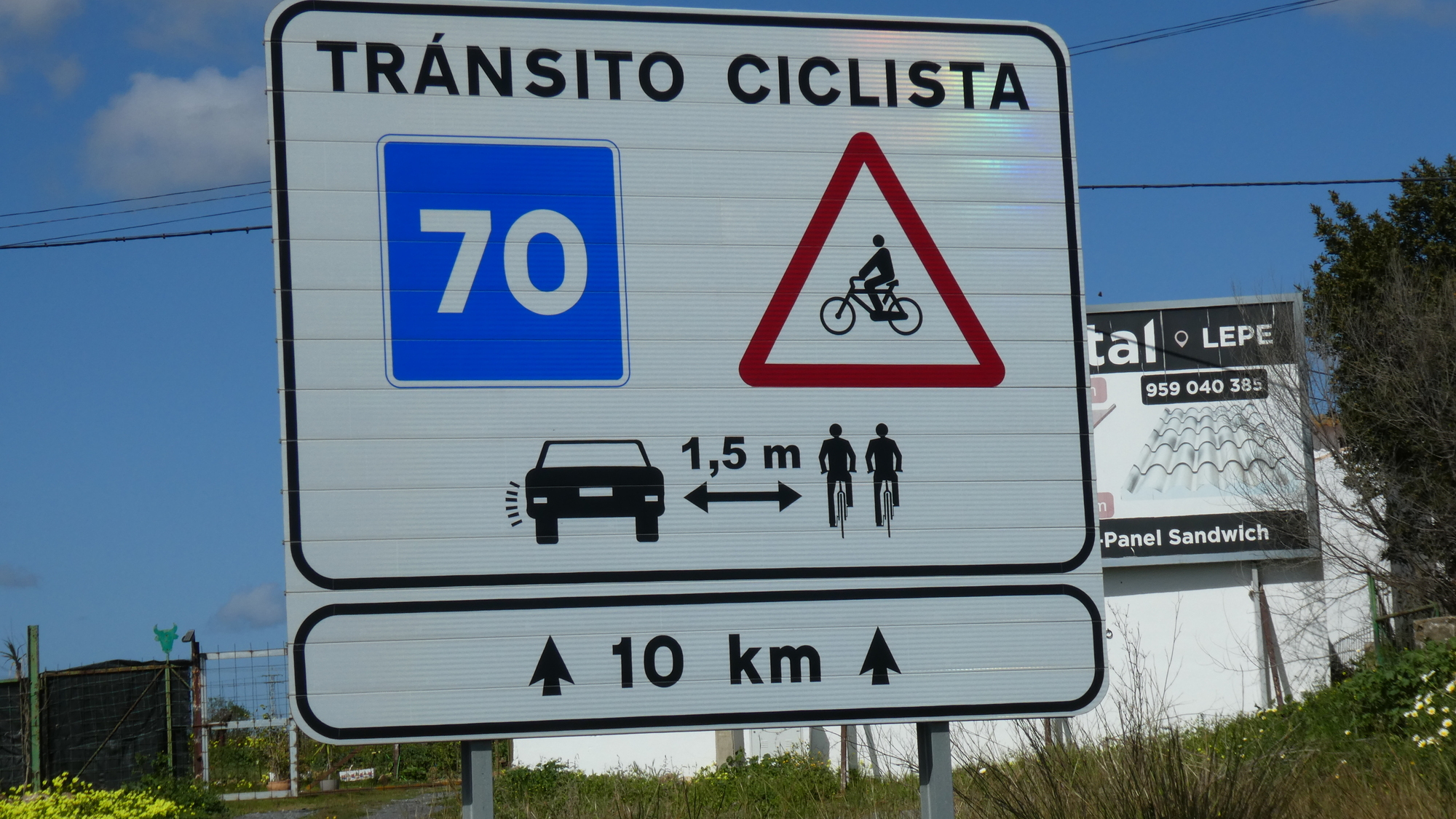
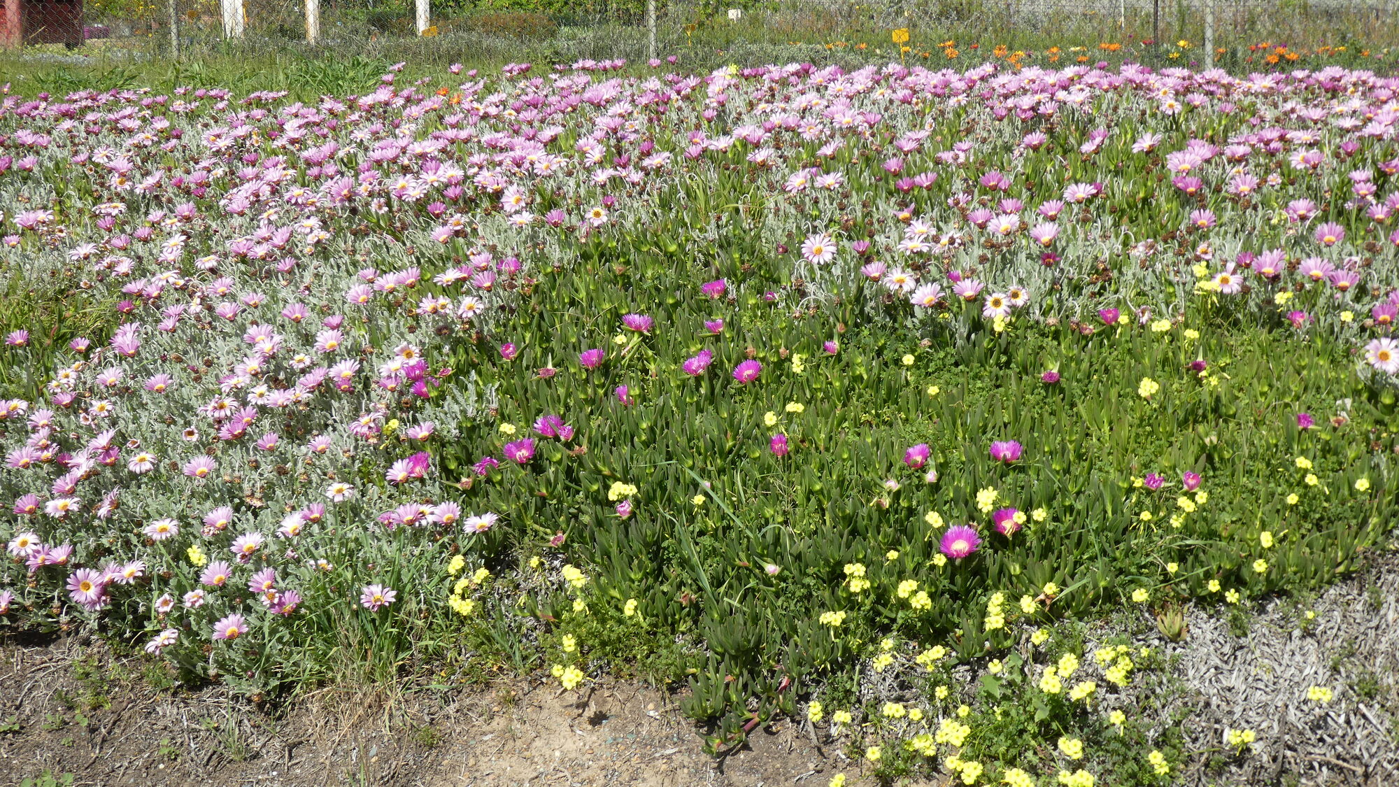
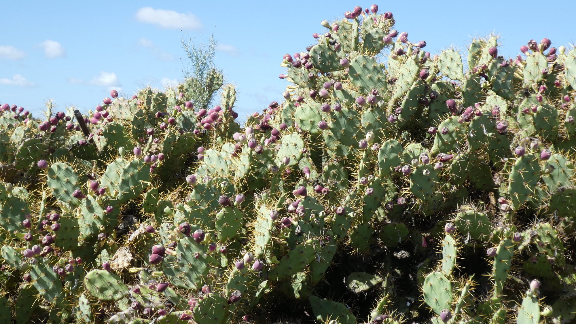
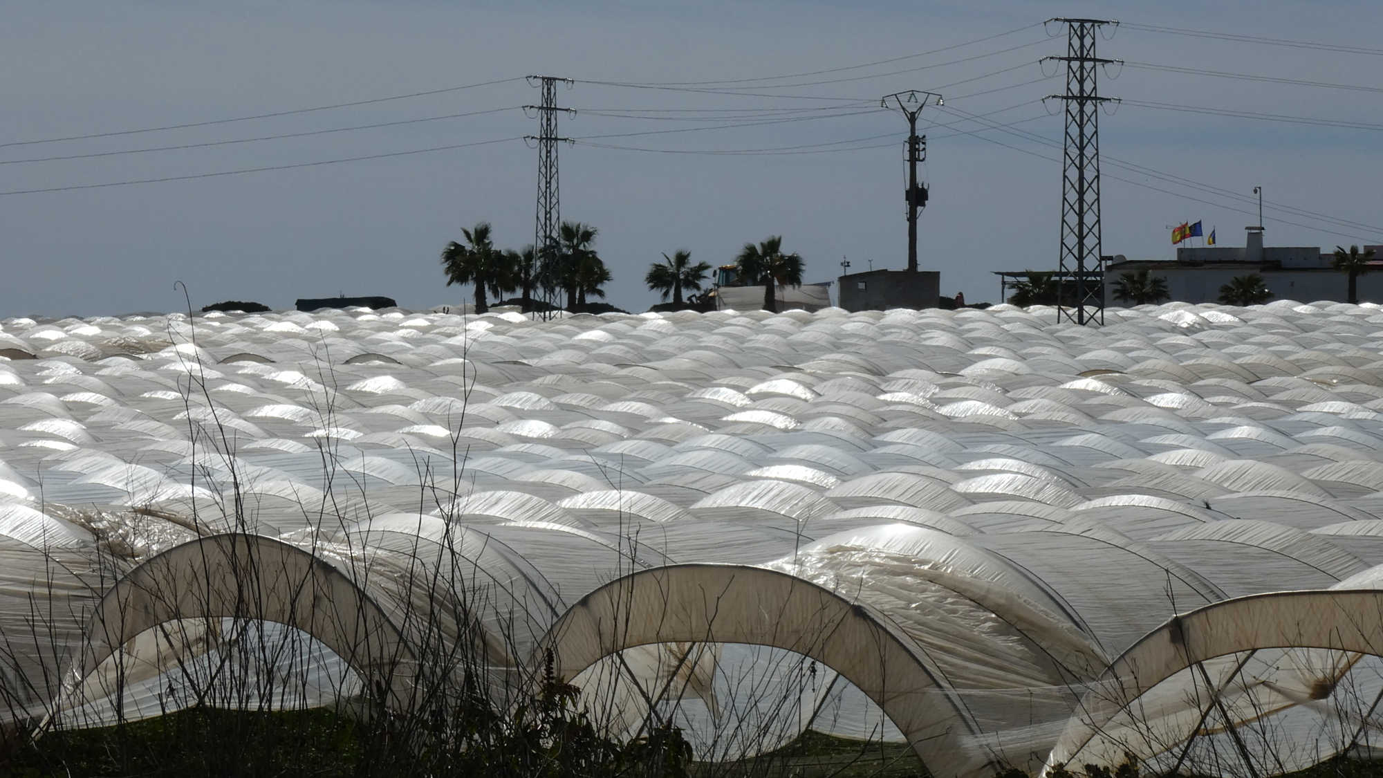
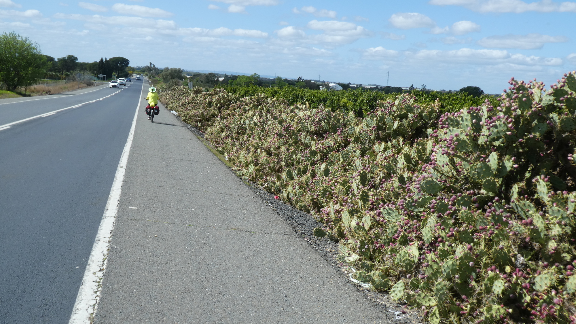
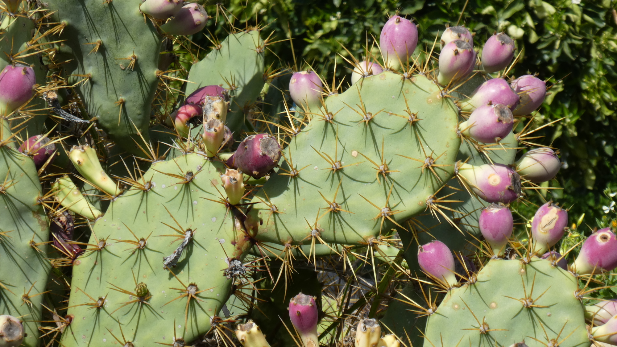
N-431 was not actually a bad route. It had beautiful flowers, many prickly pear cactus, and greenhouses full of strawberries.
| Heart | 1 | Comment | 3 | Link |
2 months ago
Back along the highway, the prickly pears were plentiful enough to be a big feature of the road. Prickly pear can look (and be) very edible, but they take special preparation! I learned this one time in Mexico.
| Heart | 0 | Comment | 3 | Link |
Commercial varieties are less spiny
2 months ago
2 months ago
Spiny ones will just be for starvation emergency rations. I have had too many glochids in various places due to eating them. Tasted good, but not THAT good!
2 months ago
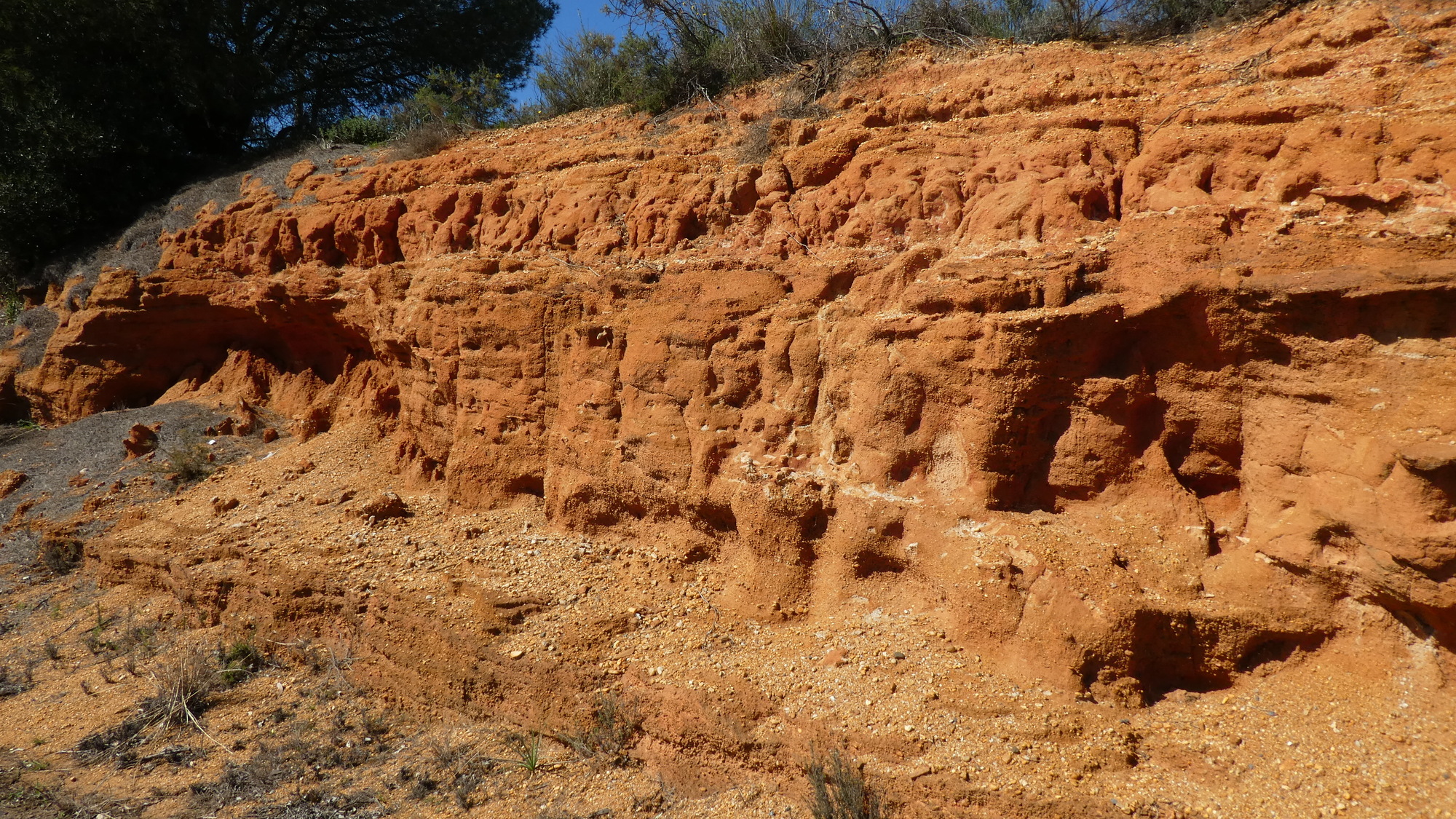
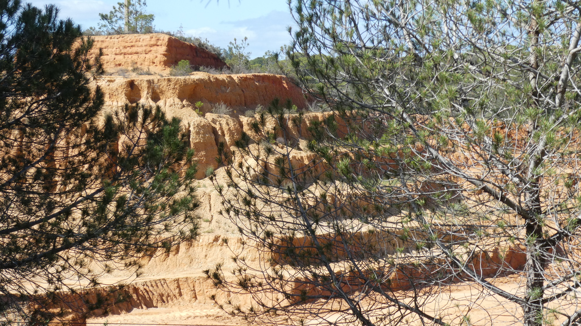
We also passed sandstone embankments, and finally something looking like a quarry. We don't know if this yields blocks, for some purpose, or maybe just sand.
| Heart | 1 | Comment | 0 | Link |
We were watching the distance to Ayamonte, which is the town from which the ferry crosses the Guadiana River, over to Vila Real, which is in Portugal. The ferry leaves on the hour, and we smoothly rolled up at about eight minutes to, bought our tickets from the little ticket office opposite the dock, and were the last to board the boat!
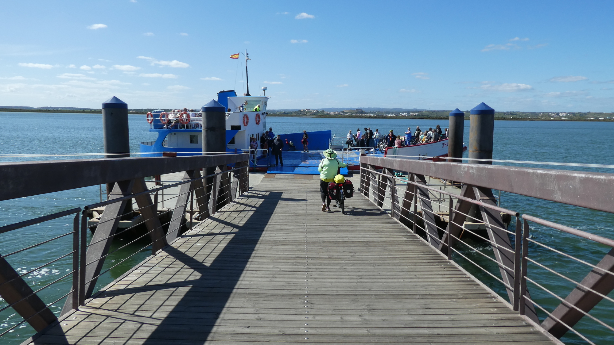
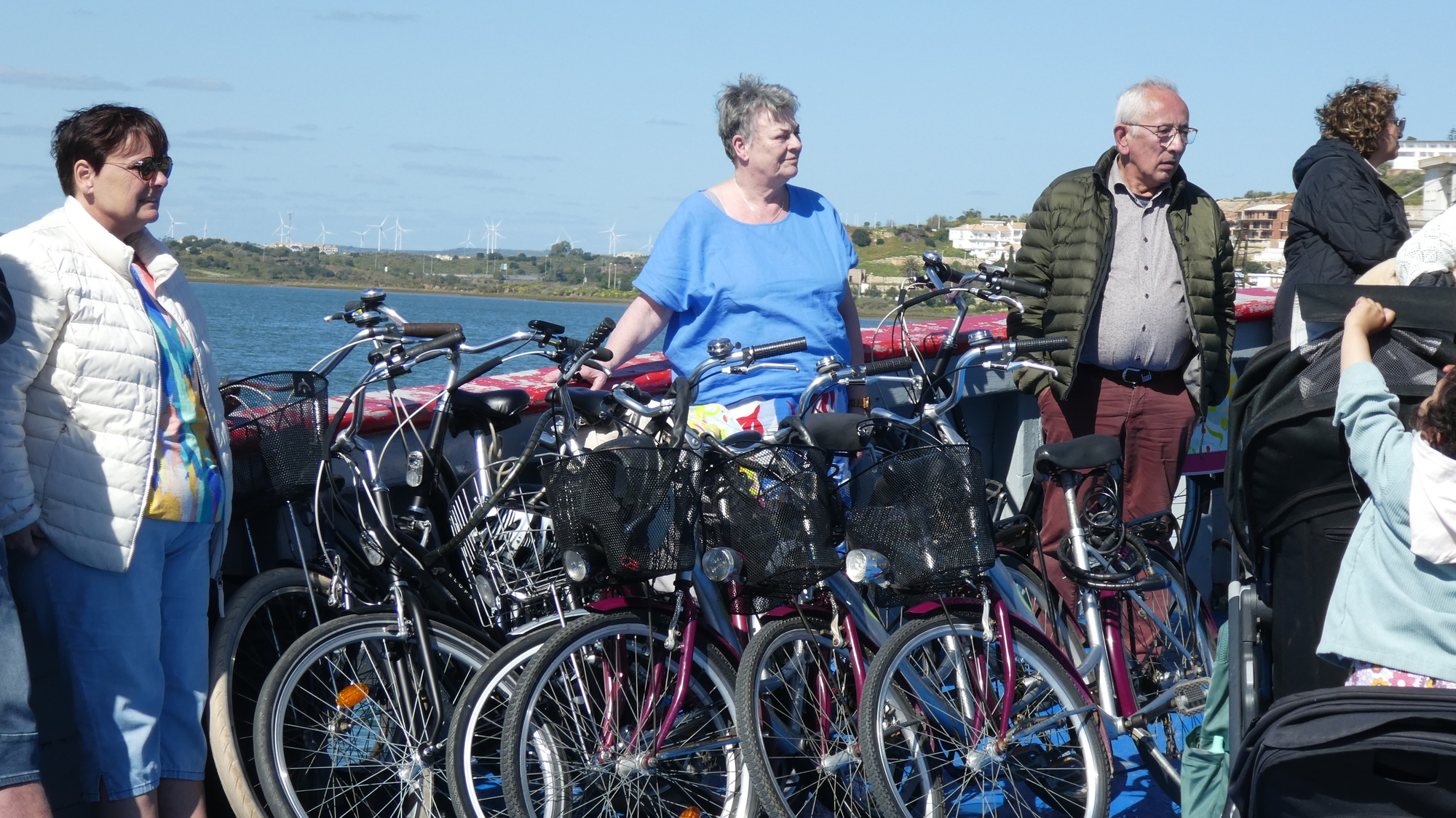
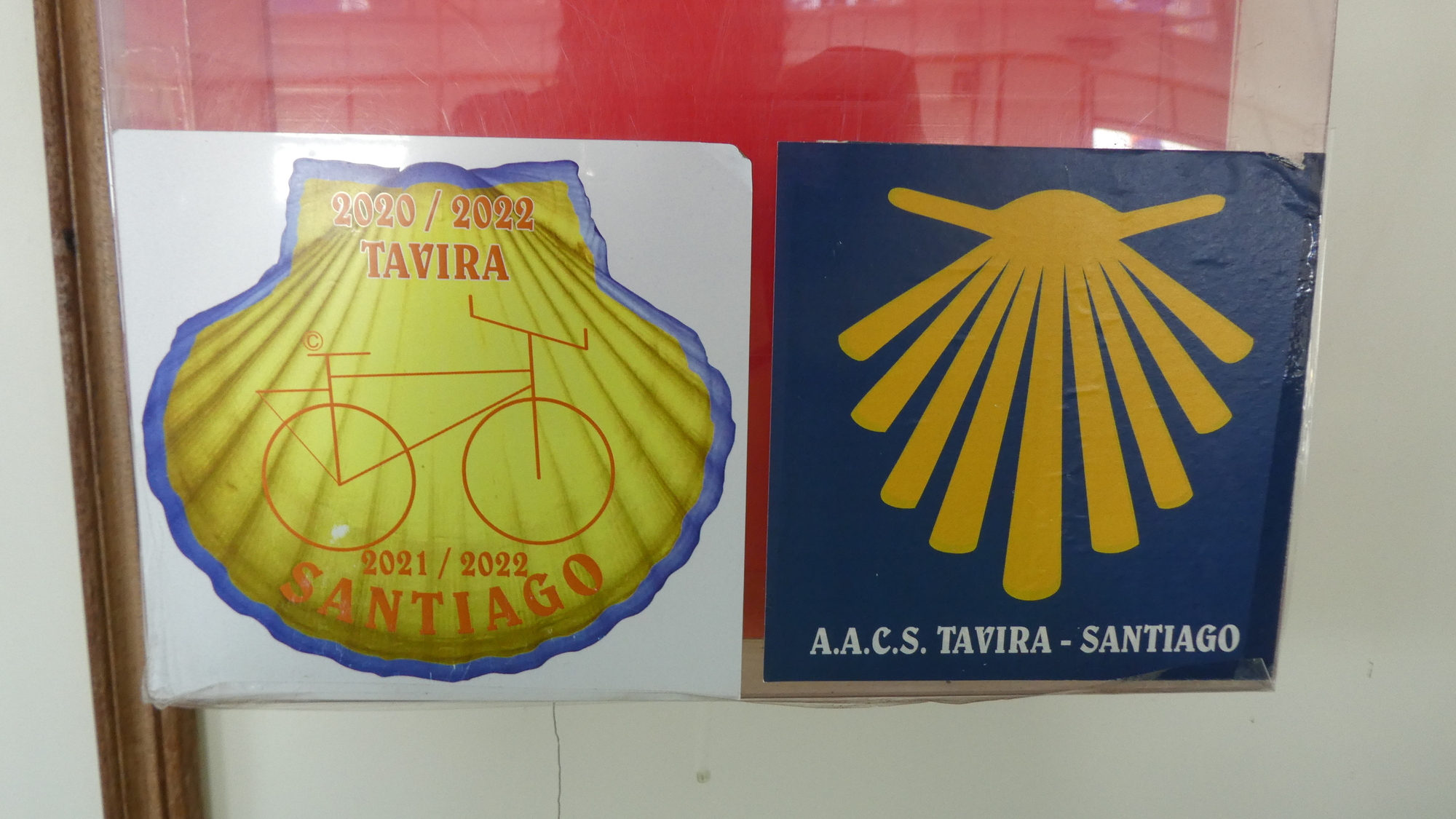
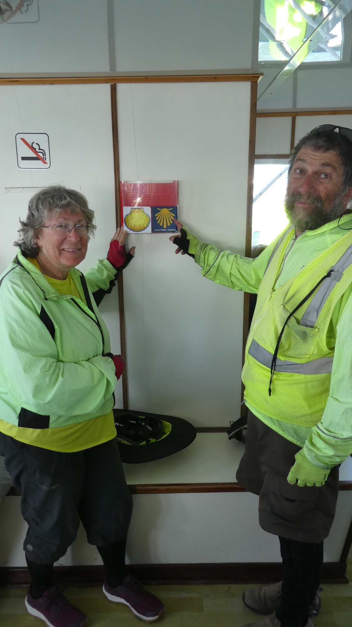
We got a really big welcome from the ferry worker at the ramp, when he saw the Camino sticker on the front of Dodie's handlebar bag. And once we were on board, he dragged us back to a Camino plaque on the wall at an inner seating area. Then he kicked a lady out of the seat in front of the plaque, so he could offer to take our photo with it!
There are a number of Camino routes in Portugal, and one of them goes up the east side of the country, for some reason starting at Tavira, which is town half way from where we were to Lagos. Of course, we are headed for Santiago, but we will take the coastal route on the west side. Anyway, the man was excited to see us!
| Heart | 1 | Comment | 0 | Link |
| Heart | 1 | Comment | 0 | Link |
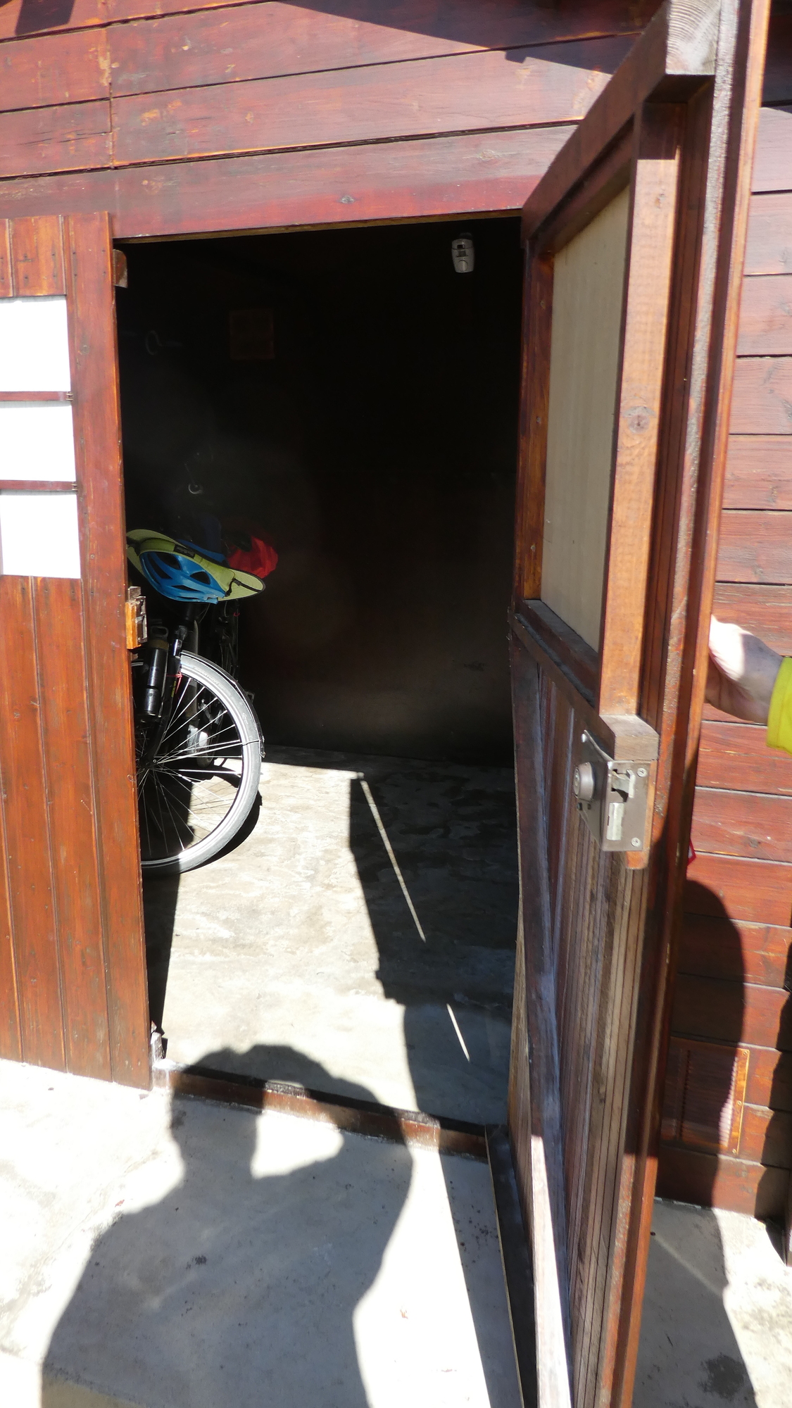
Our hotel in Vila Real is called the Apolo, and we really like it. We have a big room, bathtub, lots of plugs, and so forth, but again - the key point: When we rolled our bikes into reception, they were very welcoming. And the bikes got a locked cabin out in the parking lot. They walked me out to show it to me, and to give me the key. Then when we had unloaded the bikes and carried the bags to the room, we pushed our bikes over to the cabin, where the door had been left partly open. Dodie was first in with her bike, but (luckily) before I could enter a freak gust of wind came and slammed the door shut, and locked. Dodie found herself in the absolutely pitch dark (and heat). This is a well known torture technique, but no worries, I had been given the key. Only thing, no matter what I tried, the door would not open!
With some words of encouragement to the victim, I ran back to the hotel for help. At the reception desk I made the (typical for me) mistake of telling the three staffers what had happened, instead of just going "Help, help, come, come!". They sat there for what seemed like a long time, fascinated by the tale. That's just what I shoot for in the blog, and I hope you are enjoying this bit! But at the time, they needed to come!
The girl who had shown me the cabin at first did hurry back with me, and then demonstrated (sure, now she demonstrates) that you have to pull the door just so, and then turn the key several times in the not intuitive direction. And thus, Dodie was freed from purgatory.
Back at the desk, in the debriefing session, I observed that it was a good thing Dodie and I are a team, so I could run for help. Dodie observed that it was a good thing the whole team was not in the cabin when the wind blew. And the girl observed that without her there would still have been no rescue. Thus, a good time was had by all!
Today's ride: 57 km (35 miles)
Total: 1,276 km (792 miles)
| Rate this entry's writing | Heart | 9 |
| Comment on this entry | Comment | 8 |
2 months ago
2 months ago
Just stay on the main paved road (M507) to Alcoutim, and on N122/IC 27 after M507 joins it a few miles later. Ignore whatever Google suggests and stick to the pavement, is my recommendation.
2 months ago
p.s. Amazing you went to Mertola in one day!
2 months ago
2 months ago
2 months ago
2 months ago