May 23, 2011
Day 23 Palouse Washington to Mile 10, Trail of the Coeur d'Alenes, Idaho: A Dream Comes True
Mike Echanove pulled up to say goodbye as we made one last link to the Net in front of the Green Frog. We rolled out in the direction of Garfield, following Bill Bonte's instructions (which is also the basic route suggested by Lawrence Hammond) . We figured on breakfast in Garfield, but quickly found that the one cafe was a goner. In fact on first inspection we had doubts that even the post office was in operation. It was, and inside we got the tip that the pub might be able to whip up some coffee and even an egg.
Inside the pub were two fellows who were perhaps farmers, but we wondered why then they were in the pub at 9am. Still, they told us lots about the town, and the businesses that used to be there. They seemed resigned to, as they said, the thing "drying up and blowing away". See Art's comments on dying towns in the guestbook today.
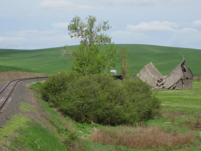
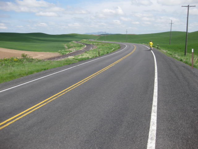
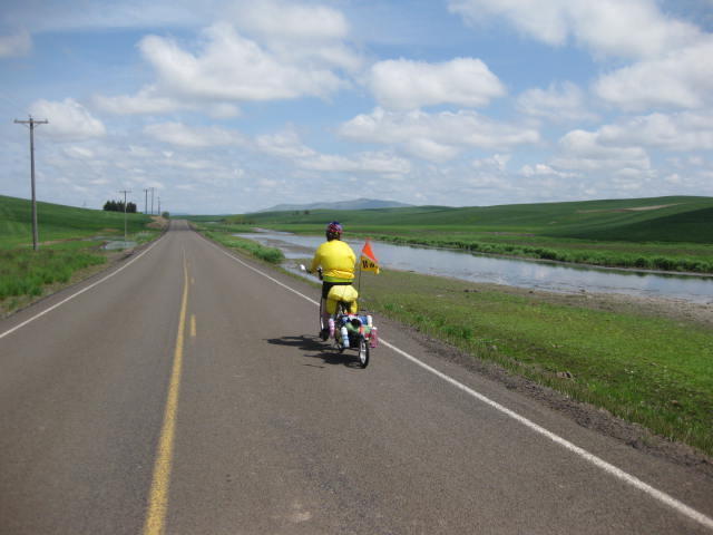
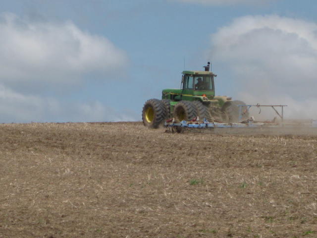
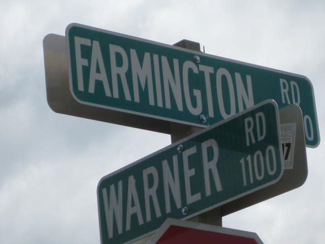
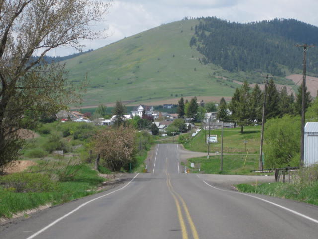
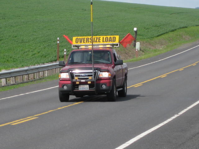
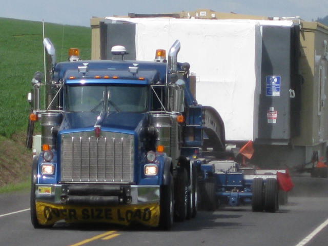
Hwy 27 out of Garfield lived up to all advance billing, as did Warner Road and the Tekoa- Farmingham Road. In this area the Palouse hills are coming to an end, flattening out, and the land is preparing for the next regime - the mountains leading to Lookout Pass. The cycling here is supreme! Lovely scenery, no scary hills, almost no cars, and the few trucks that showed up stopped and edged past us. Yes, it's true - stopped and edged!
We thought of the nicest cycling road near our house - Cobble Hill Road - but these are so much nicer. This place is cycling heaven.
#
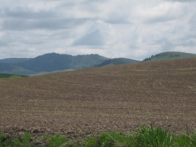
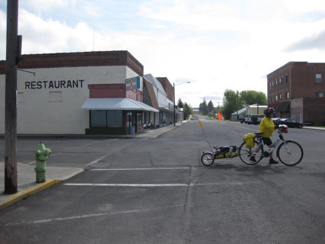
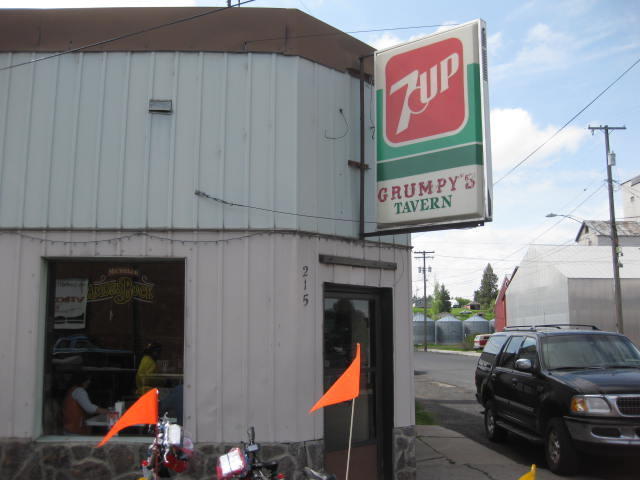
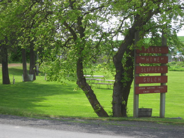
Tekoa is set among the first of the Montana-like hills, and has a bit of an alpine town appearance.
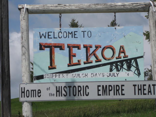
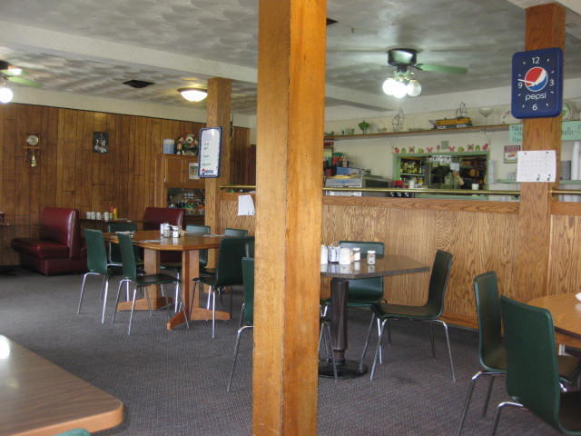
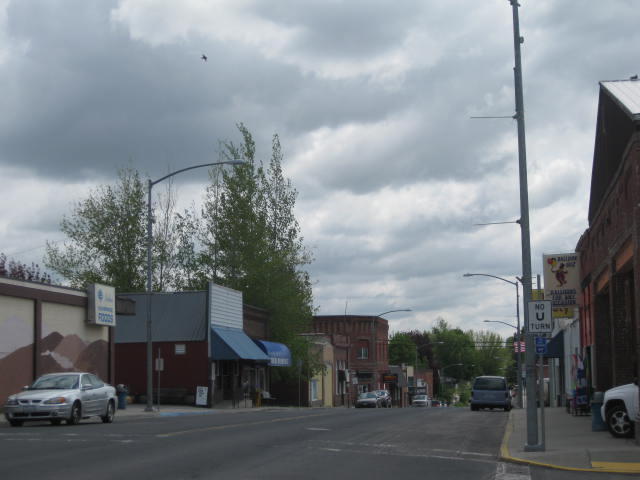
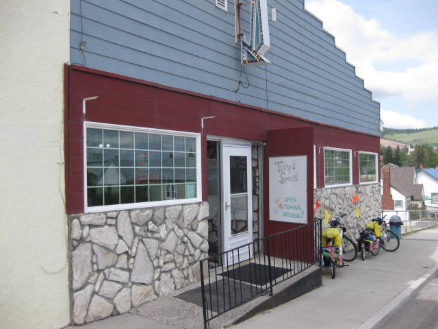
We are writing this in the cafe, called the Feeding Station, which endeared itself right off by having wifi, and secondly by having an excellent lasagna special today. We have not yet looked at much of the town, but it gives the impression of being quite alive, on the first cycle through. We understand that a big project was a public washroom, so we will definitely check that out!
There is a donation cookie jar at the till for the Tekoa Memorial Rail Trail to the Idaho border. The memorial part is for some kids that were killed near here in a car wreck. Everyone should come down and pop some $$ in the jar!
We have put this installment live before captioning or organizing the photos. In fact it is even before we reached what we listed as our stopping point for tonight, but you never know when the next internet connection will be found.
| Heart | 0 | Comment | 0 | Link |
| Heart | 0 | Comment | 0 | Link |
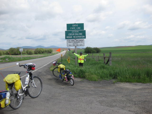
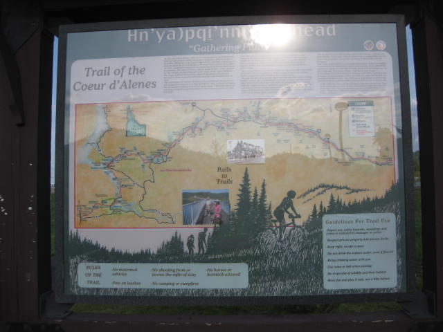
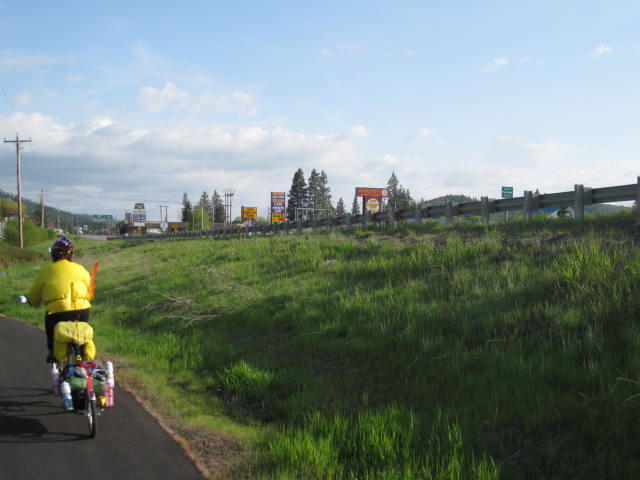
From Tekoa the road continued without serious hills and was as untravelled and fun as could be. We continued to follow Bill Bonte's route, and soon were rolling down Hwy 95. As it goes with these things, almost like the flip of a switch the Palouse was gone and we were into pine forest. We rolled easily into Plummer, a place that from the highway anyway we would have to describe as 'scuzzy'. The Coeur d'Alene tribe is there and trying for something else, but 'Warpath Fireworks' next to the veterans' park and bicycle trailhead, really!
| Heart | 0 | Comment | 0 | Link |
| Heart | 0 | Comment | 0 | Link |
| Heart | 0 | Comment | 0 | Link |
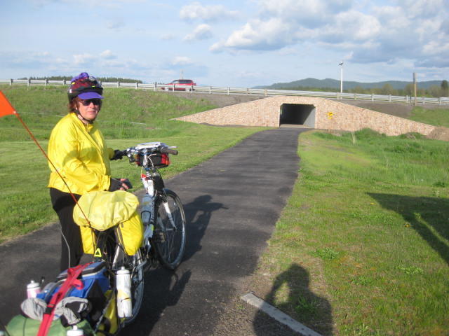
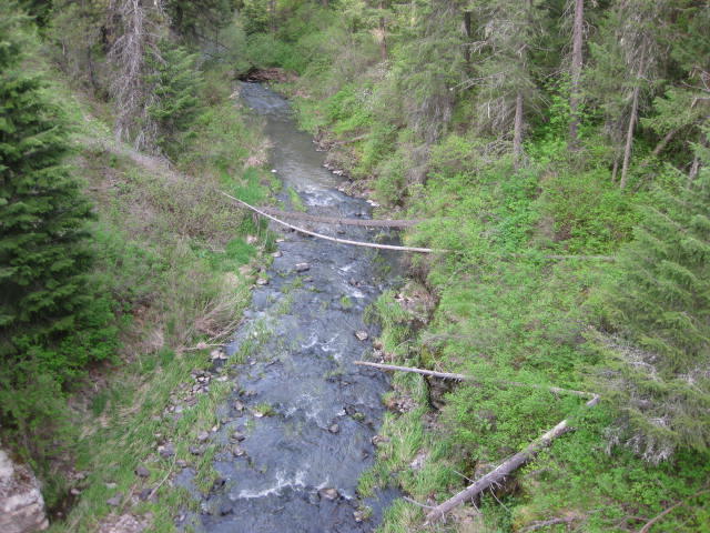
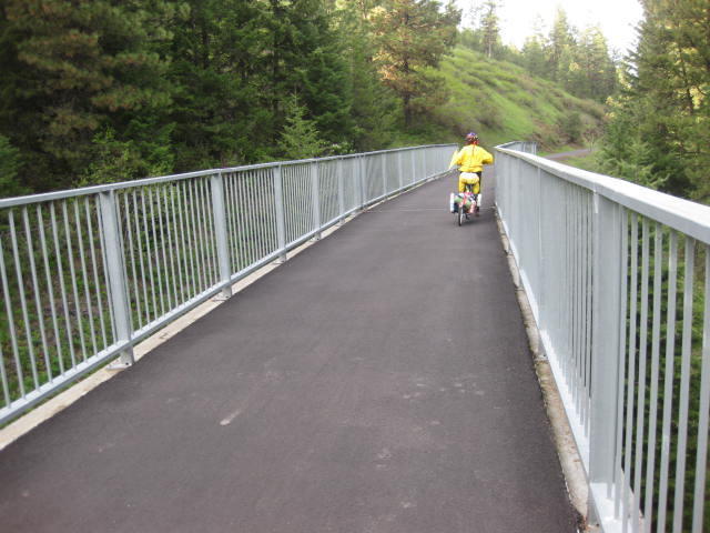
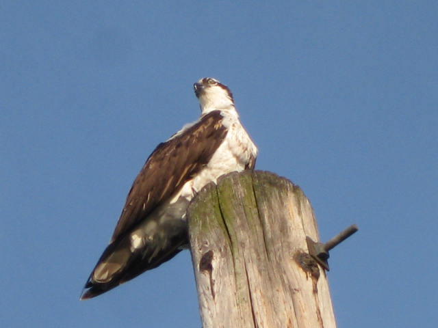
To ride on this trail is something we have dreamed about for a year now. And it did not disappoint. The surface is wide and smooth, and the thing starts out with an 8 km 3% downhill romp that you could sell tickets for. The way passes through forest and by a stream, and features trailside signs describing the birds to be seen.
| Heart | 0 | Comment | 0 | Link |
| Heart | 0 | Comment | 0 | Link |
| Heart | 0 | Comment | 0 | Link |
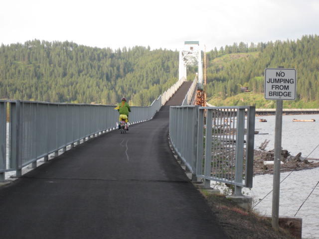
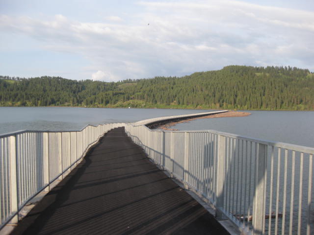
Soon, you come out on the southernmost part of Lake Coeur d'Alene, and in a few km cross to the East side on a unique, large, bicycles only bridge. After cowering across so many shoulderless motor vehicle bridges, this was pure joy. Moreover the bridge roadway proceeds in a series of roller coaster waves, making the coast down the far side again a marketable commodity.
| Heart | 0 | Comment | 0 | Link |
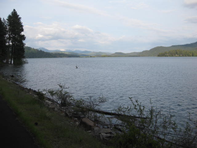
From there it was an easy ride along the lakeshore, until we ran into Harley and Nancy Johannsen. Nancy had a flat that we could help out with. She also has a place in Mullan, where we have been invited to stay.
By this time we had figured out that we had missed finding Heyburn State Park, where we had intended to stay. We decided to ask the GPS about it, and to our surprise it said the equivalent of 'you are heading along the trail of the Coeur d'Alene, and you missed your turn for the park 4 km back. Head back there and I will show you the turn' Say what? You are routing us on and off a trail? Great! Only thing, we would never turn back!
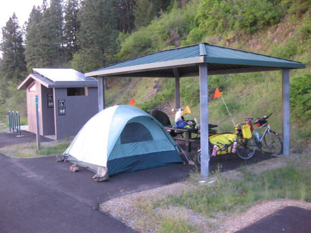
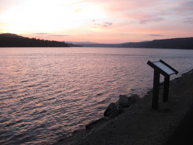
Given that is was getting late we stopped at the next sheltered picnic table and restroom. We know that the land here is contaminated with lead, but the picnic site was sealed in the same way that the trail is. The site offered lakeside views, the paved (contamination free) place for the tent, an ensuite pit toilet, and our very own educational display about the former Indian use of the spot as a canoe landing.
So here we are eating our sandwich and grapes from Plummer and waiting for sunset over the lake. After that, it's pop up the tent and goodnight!
Today's ride: 100 km (62 miles)
Total: 1,383 km (859 miles)
| Rate this entry's writing | Heart | 1 |
| Comment on this entry | Comment | 0 |